Datasets
These are our most popular and influential datasets. For a comprehensive list of all BGS data, please visit the BGS Metadata Catalogue
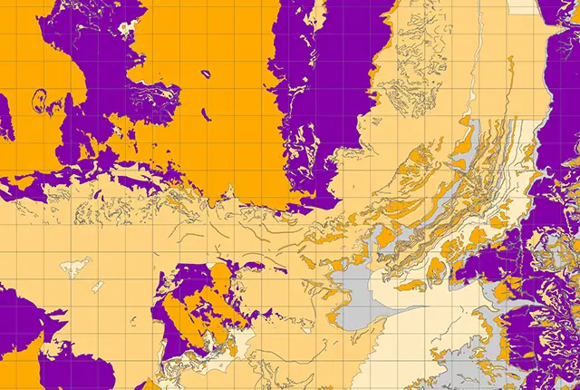
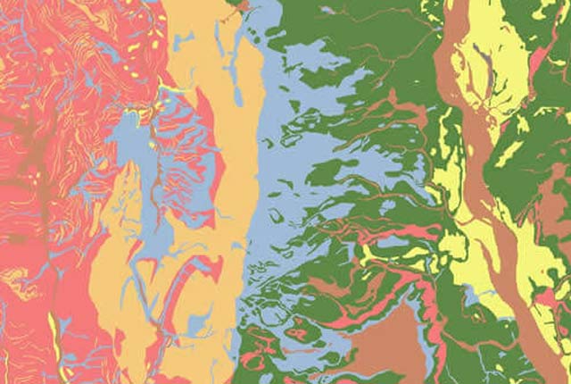
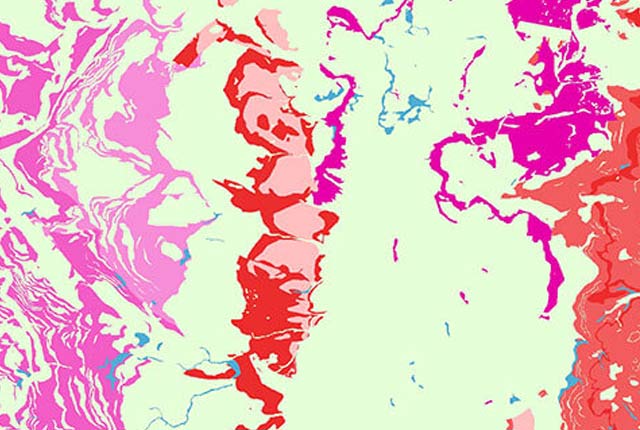
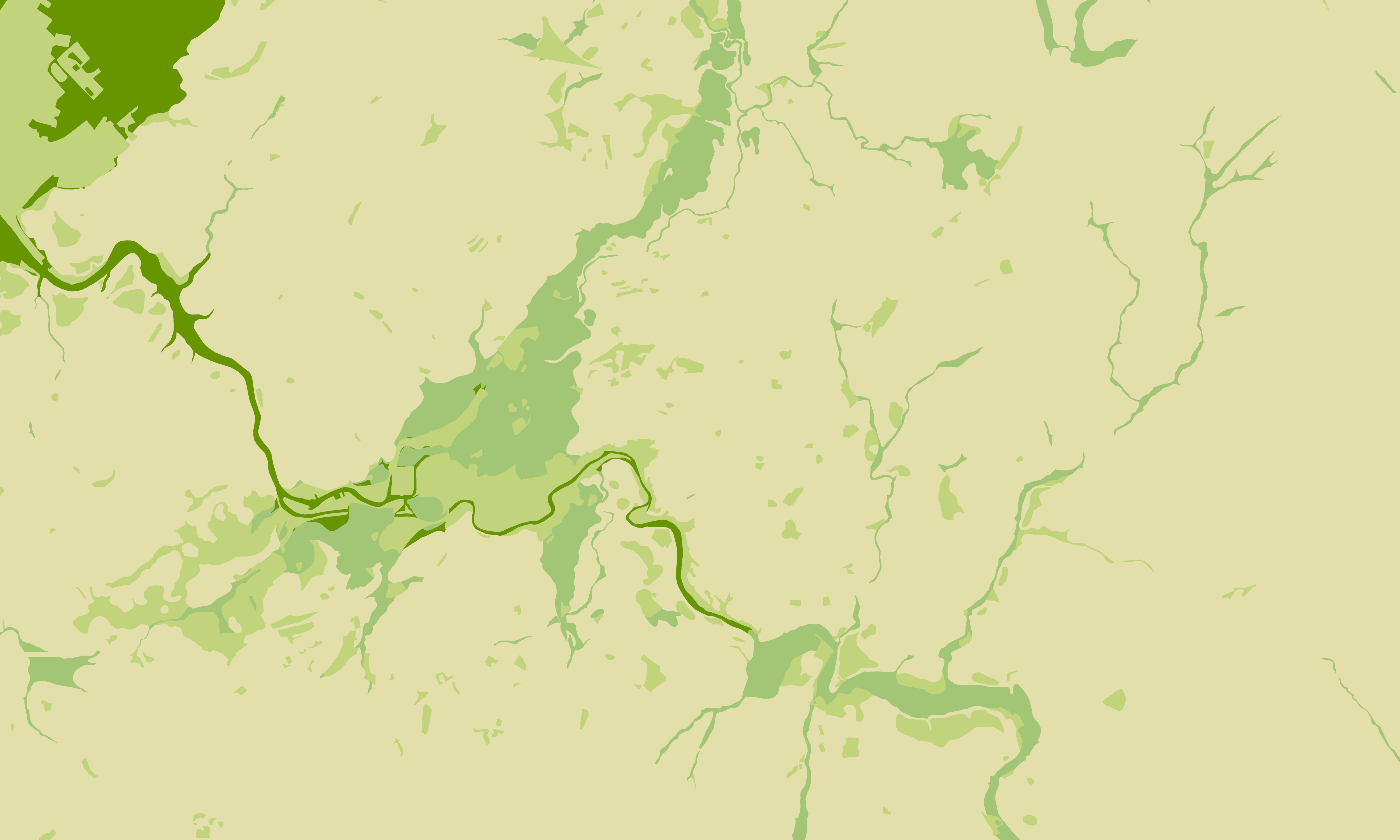
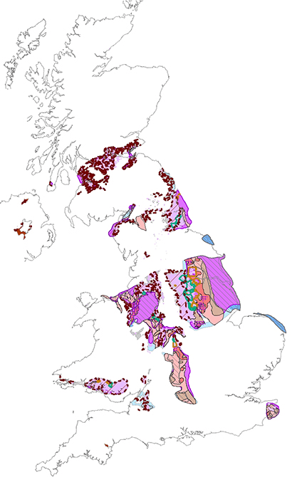
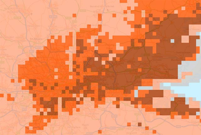
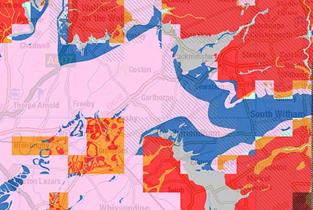
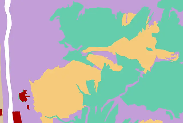
The aquifer designation dataset reflects the importance of aquifers in England and Wales as a resource and their role in supporting surface water flows and wetland ecosystems.
- Open / Premium
- 1:50 000
- England and Wales
 Data Preview
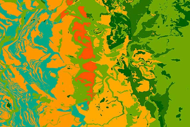
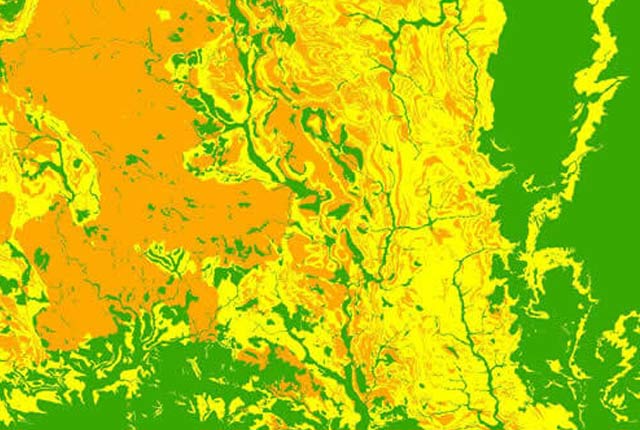
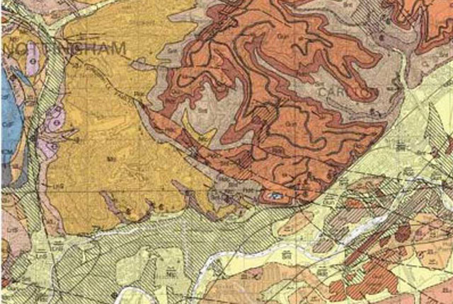
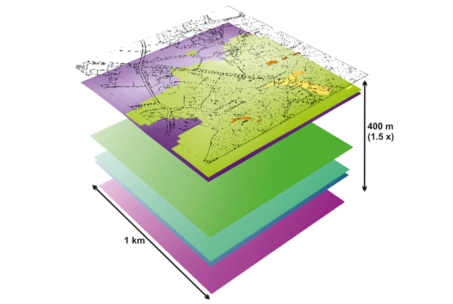
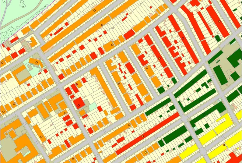
BGS Civils is a suite of national maps of engineering properties based on geological data and the digital 1:50 000 scale geological map – BGS Geology 50k.
- Premium
- 1:50 000
- Great Britain
Data Preview
 Data Preview
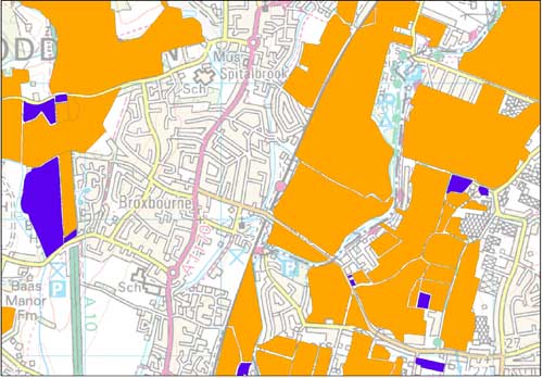
The BGS corrosivity dataset is a GIS layer supporting the management of underground iron assets that has been created in response to the growing awareness of the cost of maintenance of structures such as pipelines and building foundations.
- Premium
- 1:50 000
- Great Britain
Data Preview
 Data Preview
This theme provides information on the discontinuities in bedrock and superficial deposits as part of a suite of GIS layers for different engineering parameters.
- Premium
- 1:50 000
- Great Britain
Data Preview
 Data Preview
This theme provides information on the suitability of a geological material to be used as engineered fill.
- Premium
- 1:50 000
- Great Britain
Data Preview
 Data Preview
This theme provides information on the excavatability of geological deposits at surface.
- Premium
- 1:50 000
- Great Britain
Data Preview
 Data Preview
This theme provides information on the suitability of a geological material for foundations as part of a suite of GIS layers for different engineering parameters.
- Premium
- 1:50 000
- Great Britain
Data Preview
 Data Preview
This theme provides information on zones of rock strength and the local factors controlling it, as part of a suite of GIS layers for different engineering parameters.
- Premium
- 1:50 000
- Great Britain
Data Preview
 Data Preview
The BGS Civils: sulfates and sulfides dataset is a GIS layer that supports the management of underground assets
- Premium
- 1:50 000
- Great Britain
Data Preview
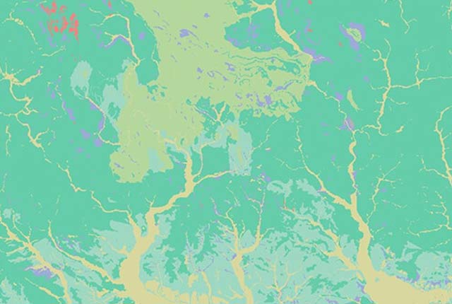
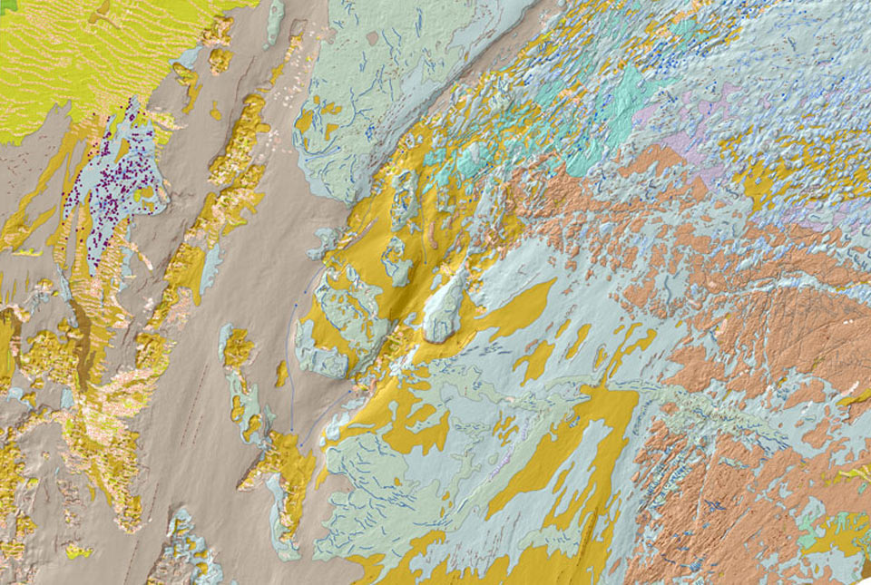
The BGS Geology datasets are digital geological maps of Great Britain based on the different series of published BGS geological maps.
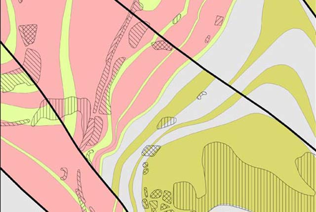
Our most detailed dataset is provided at 1:10 000 and 1:25 000 scale. This digital geological data is based on BGS’s highest-resolution survey mapping. Many urban centres and transport routes are covered by this dataset. Lithostratigraphic nomenclature is updated to current usage.
- Premium
- 1:10 000 – 1:25 000
- Partial Great Britain coverage
This generalised digital geological data is based on our 1:250 000-scale, bedrock-only maps. Data and lithostratigraphic re-classifications are derived from maps published between 1977 and 1993.
- Premium
- 1:250 000
- Great Britain
 Data Preview
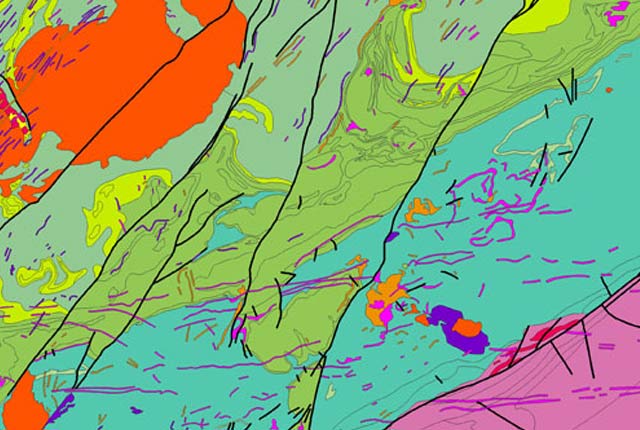
This generalised digital geological data is based on BGS’s 1:50 000 and 1:63 360-scale maps. Covering almost all of Great Britain, it provides a detailed local to regional description of geology and underpins many of our national map services and products. Lithostratigraphic nomenclature is updated to current usage.
- Open / Premium
- 1:50 000
- Most of Great Britain
Data Preview
 API Available
This generalised digital geological dataset is based on our published ‘poster’ maps of the UK (north and south). This dataset covers all of Great Britain and includes additional map data from Northern Ireland. It provides an excellent national overview of the UK’s geology and is commonly used as a teaching resource.
- Open
- 1:625 000
- Great Britain and Northern Ireland
The BGS GeoScour Open datasets provide a generalised overview of the natural characteristics and properties of catchment and riverine environments for the assessment of river scour in Great Britain.
- Open
-
Tier 1: 1:625 000
Tier 2: 1:250 000 - Great Britain
 Data Preview
The BGS GeoScour datasets provide a generalised overview of the natural characteristics and properties of catchment and riverine environments for the assessment of river scour in Great Britain.
- Open / Premium
-
Tier 1: 1:625 000
Tier 2: 1:250 000
Tier 3: 1:50 000 - Great Britain
Data Preview
 Data Preview
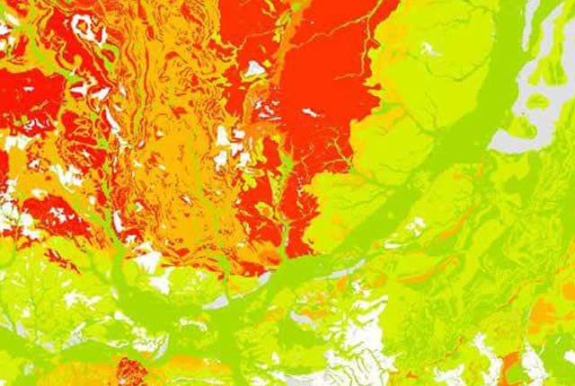
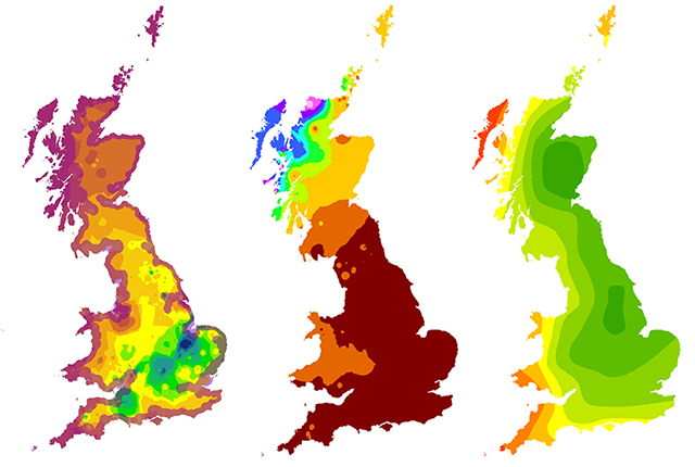
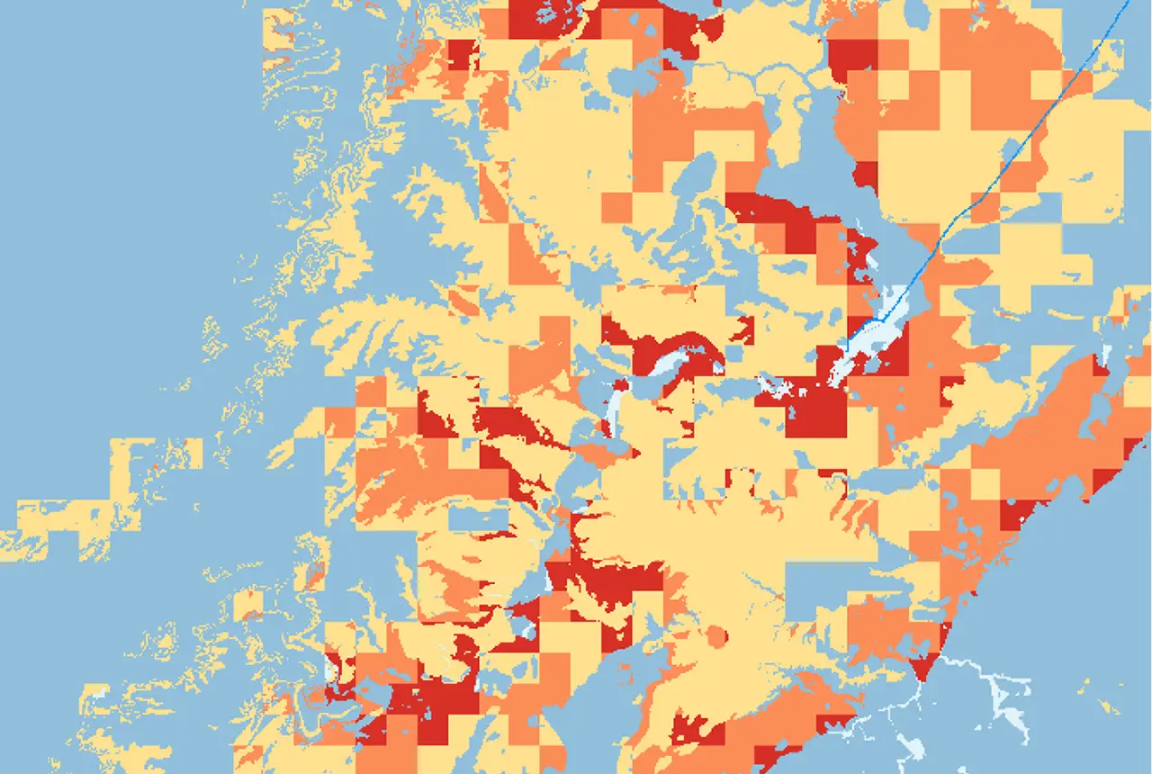
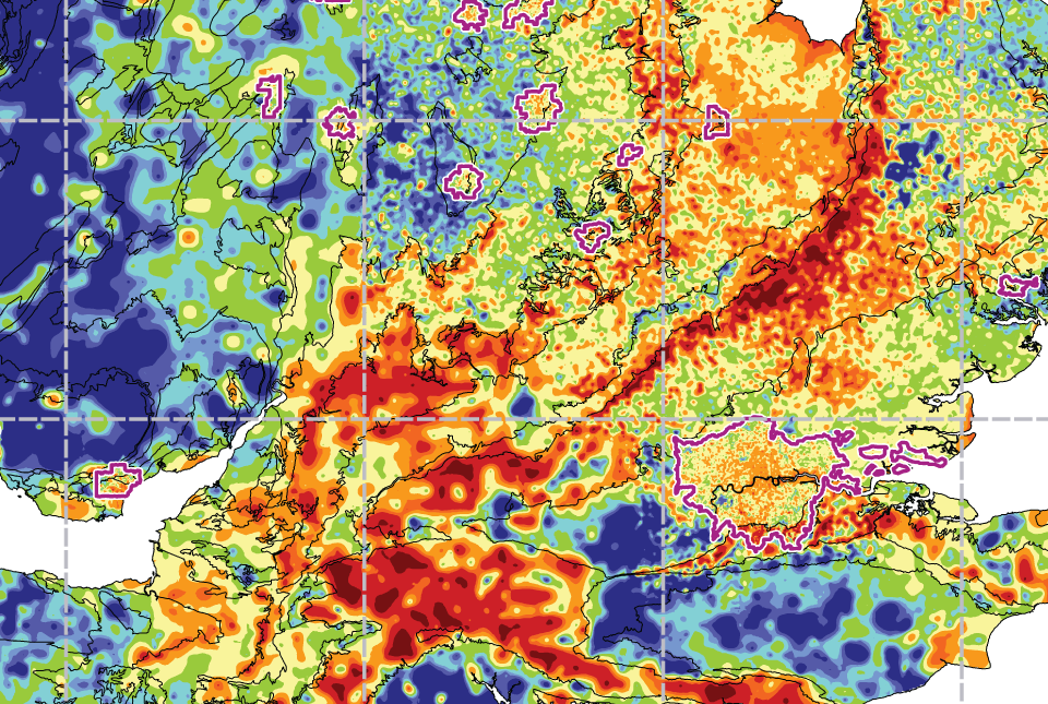
The BGS GeoSure datasets identify areas of potential hazard and, therefore, potential natural ground movement, in Great Britain.
- Premium
- 1:50 000
- Great Britain
Data Preview
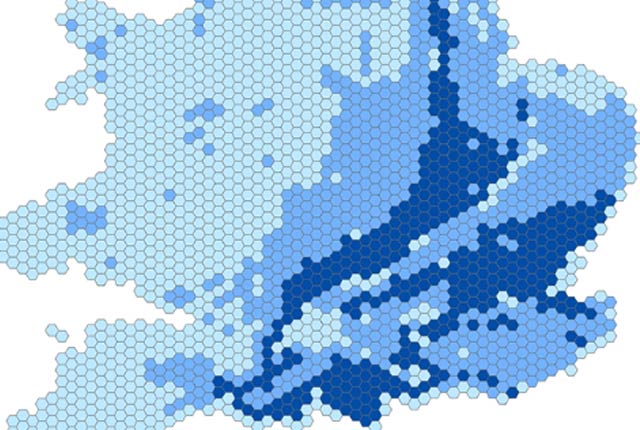
The BGS GeoSure 5 km hex grid datasets provide a generalised overview of the susceptibility to six naturally occurring geohazards in Great Britain.
- Open
- 5 km hex grid (approx. 1:5 000 000)
- Great Britain
 Data Preview
The potential for collapsible ground to be a hazard has been assessed using 1:50 000 scale digital maps of superficial deposits.
- Premium
- 1:50 000
- Great Britain
Data Preview
 Data Preview
The potential for compressible ground to be a hazard has been assessed using 1:50 000-scale digital maps of superficial and bedrock deposits.
- Premium
- 1:50 000
- Great Britain
Data Preview
 Data Preview
The Debris Flow landslide layer provides information on the potential of the ground, at a given location, to form a debris flow. It is based on a combination of digital geological, hydrogeological and topographic data.
- Premium
- 1:50 000
- Great Britain
Data Preview
 Data Preview
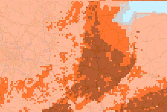
The potential for landsliding (slope instability) to be a hazard has been assessed using 1:50 000 scale digital maps of superficial and bedrock deposits. These have been combined with information from the BGS National Landslide Database and scientific and engineering reports.
- Premium
- 1:50 000
- Great Britain
Data Preview
 Data Preview
The potential for running sand to be a hazard has been assessed using 1:50 000-scale digital maps of superficial and bedrock deposits.
- Premium
- 1:50 000
- Great Britain
Data Preview
 Data Preview
Many soils contain clay minerals that absorb water when wet (making them swell), and lose water as they dry (making them shrink). Many of us see this in our gardens when the ground becomes cracked during the summer, yet becomes ‘heavy’ in the winter.
- Premium
- 1:50 000
- Great Britain
Data Preview
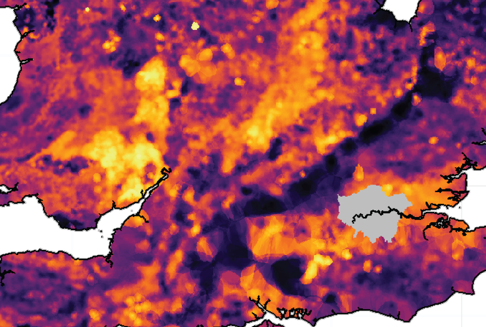
The shrink–swell 3D data is a regional hazard susceptibility map that identifies areas of potential shrink–swell hazard in 3D at intervals down to 20 m in the London and Thames Valley area.
- Premium
- 1:50 000
- London and Thames Valley
Data Preview
This is a single data layer that identifies areas of potential shrink–swell hazard that are underneath another solid formation and therefore hidden from the surface.
- Premium
- 1:625 000
- Great Britain
 Data Preview
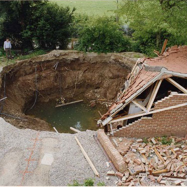
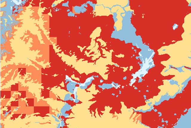
Ground dissolution occurs when water passing through soluble rocks produces underground cavities and cave systems. These cavities reduce support to the ground above and can cause localised collapse of the overlying rocks and deposits.
- Premium
- 1:50 000
- Great Britain
Data Preview
 Data Preview
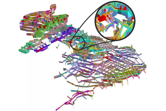
Data outputs from 3D geological framework models are available at three different scales for parts of the onshore area of Great Britain.
- Open / Premium
- Varied
- Great Britain (partial coverage)
Data Preview
 API Available
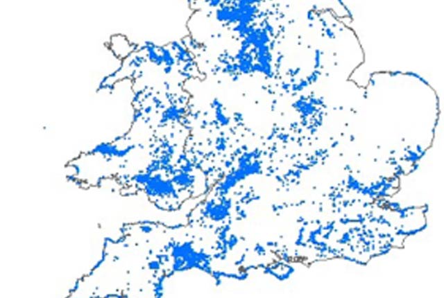
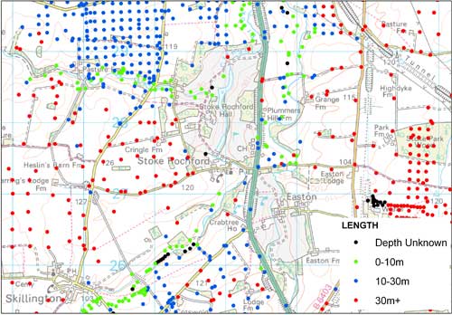
The National Landslide Database is the most extensive source of information on landslides in Great Britain with over 17 000 records.
- Open / Premium
- Great Britain
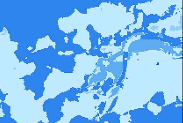
The BGS Predictive Seabed_Sediments (UK) data provide digital maps of seabed sediment (SBS) composition across the UK Continental Shelf (UKCS).
- Open
- Approximately 110m spatial resolution
- UK Continental Shelf (UKCS)
 Data Preview
This theme provides information on the electrical resistivity of a geological material, to be used where the earthing characteristics of the ground are required.
- Premium
- 1:50 000
- Great Britain
Data Preview
The seabed geology map dataset covers regions on the UK’s continental shelf and details the substrate geology, structural geology and seabed geomorphology.
- Open
- 1:10 000 – 1:50 000
- Regional
The Biosphere Isotope Domains GB (Version 2) data comprises analysis and location-specific information for strontium, sulphur, lead and oxygen (from drinking water and tooth enamel) isotope variation for Great Britain.
- Open
- The dataset is represented by 1 km hexagon cells
- Great Britain
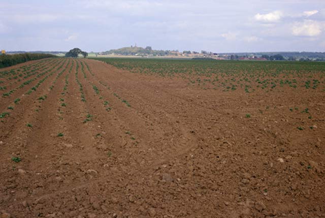
BGS is engaged in surveying the country for former mineral sites due to their importance for planning purposes and as potential sources of currently scarce resources such as building stone, in addition to hazard checking.
- Open / Premium
- Great Britain, Northern Ireland, Isle of Man and Channel Islands
 Data Preview
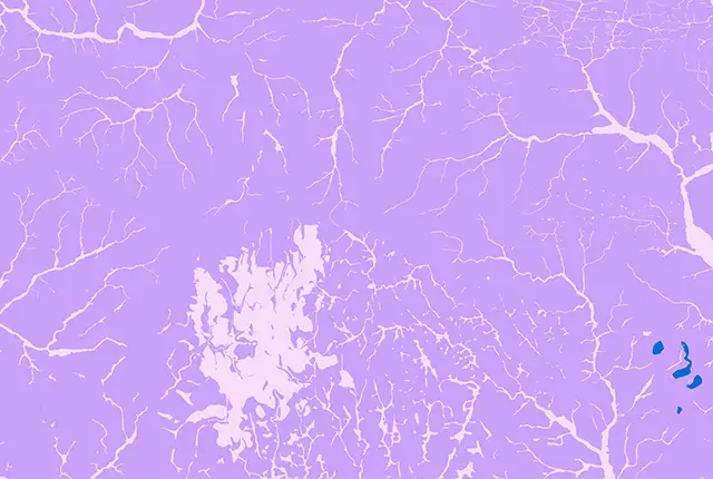
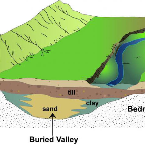
Buried valleys are ancient river or subglacial (beneath a glacier) drainage networks that are now abandoned and have become either partly or completely buried by more recent sediment.
- Open
- 1:250 000
- Great Britain
Data Preview
A series of maps showing the potential of the UK onshore coal resources for exploitation by conventional and new technologies.
- Open
- 1:1 000 000
- UK
 Data Preview
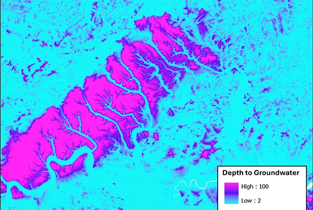
The BGS depth to groundwater product is a national scale dataset of probable maximum depth to the phreatic water table.
- Premium
- 1:50 000
- Great Britain
Data Preview
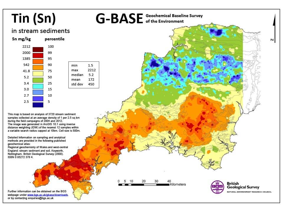
G-BASE is a major BGS project that surveyed the surface geochemistry of the entire UK. Soil and stream-sediment geochemistry data is available for south-west England as a standalone dataset.
- Open
- SW England
 Data Preview
GeoClimate clay shrink-swell provides information on the projected future change in susceptibility of clay shrink–swell across Great Britain due to climate change.
- Premium
- 1:50 000
- Great Britain
Data Preview
This product has now been superseded by the GeoClimate Shrink-swell dataset.
- Open
- 2 km gridded dataset
- Great Britain
 Data Preview
This product has now been superseded by the GeoClimate Shrink-swell dataset.
- Premium
- Quasi-1:50 000
- Great Britain
Data Preview
This product has now been superseded by the GeoClimate Shrink-swell dataset.
- Open
- 2km gridded dataset
- Great Britain
 Data Preview
This product has now been superseded by the GeoClimate Shrink-swell dataset.
- Premium
- Quasi-1:50 000
- Great Britain
Data Preview
GeoCoast Open provides a range of historic images and diagrams extracted from our archives, memoirs and other publications, which can provide a reference for coastal change.
- Open
- Multiple
- Great Britain
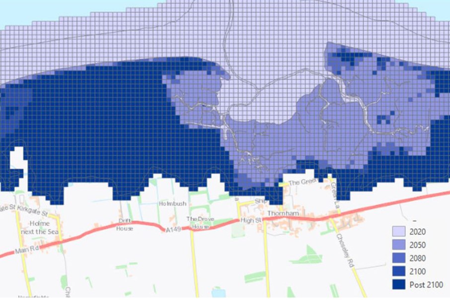
GeoCoast is an integrated GIS package of datasets designed to inform and support coastal management and adaptation.
- Premium
- 1:50 000
- Great Britain
 Data Preview
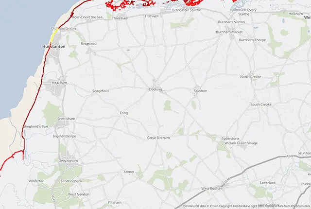
BGS has produced the geological indicators of flooding dataset from geological maps detailing the floodplains and coastal plains in Britain.
- Premium
- 1:50 000
- Great Britain
Data Preview
This product provides an index-level assessment of the potential for financial insurance loss due to natural ground movement.
- via BGS Data Resellers
- 1:50 000
- Great Britain
 Data Preview
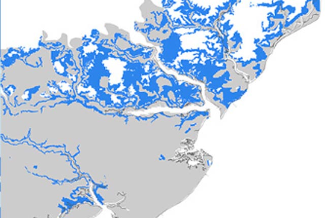
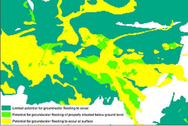
In response to the need for more information on groundwater flooding, BGS has produced the first national dataset on the susceptibility across Britain.
- Premium
- 1:50 000
- Great Britain
Data Preview
 Data Preview
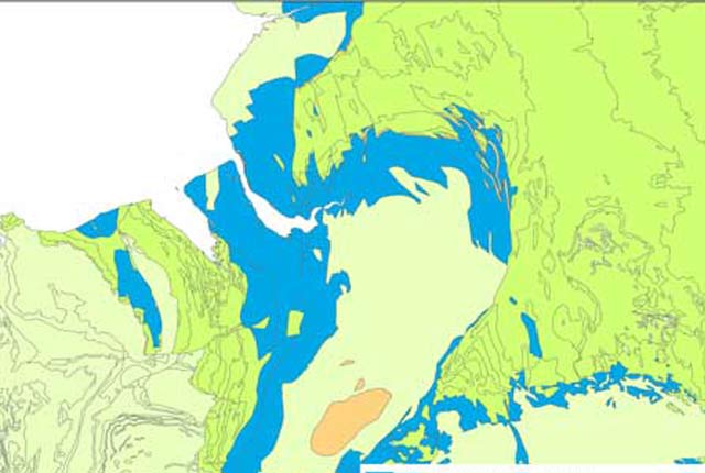
Our groundwater vulnerability maps provide an assessment of the vulnerability of groundwater in overlying superficial rocks and those that comprise the underlying bedrock.
- Premium
- 1:50 000
- England and Wales
Data Preview
This dataset contains hand-drawn boundaries showing mineral related planning permissions and land use collated from the 1940s to the mid 1980s.
- Premium
- 1:50 000
- England and Wales
 Data Preview
The BGS has produced a suite of hydrogeological maps of Scotland. The suite includes layers with groundwater vulnerability and aquifer productivity data.
- Premium
- 1:100 000
- Scotland
Data Preview
 API Available
The hydrogeological map indicates aquifer potential in generalised term.
- Open
- 1:625 000
- UK
 API Available
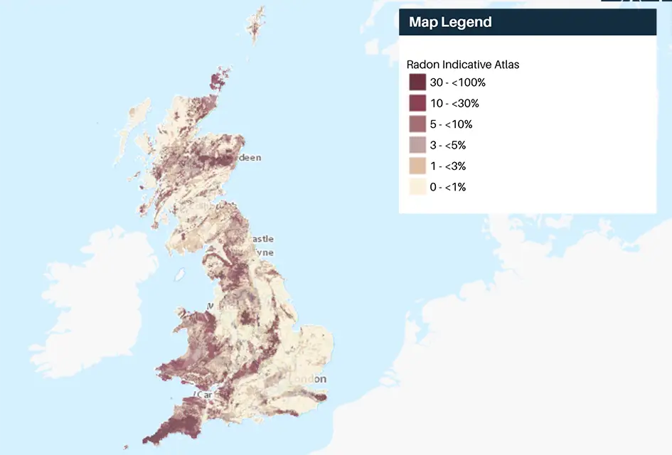
Radon is a natural radioactive gas, which enters buildings from the ground. Exposure to high concentrations increases the risk of lung cancer.
- Open
- 1 km grid size (approx. 1:1 000 000)
- Great Britain and Northern Ireland
The BGS Infiltration SuDS map dataset is suitable for those involved in the design of sustainable drainage systems and approving SuDS planning applications.
- Premium
- 1:50 000
- Great Britain
 Data Preview
London Earth is the systematic, high-density, geochemical soil dataset of the Greater London Area (GLA) aiming to give insight into the environmental impacts of urbanisation and industrialisation on the UK’s most populous city.
- Premium
- Greater London and surrounding area
Data Preview
 Data Preview
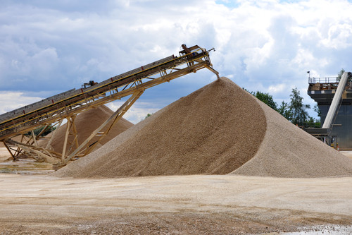
This dataset contains the geological distribution of all onshore mineral resources.
- Premium
- 1:50 000
- England, Wales, central belt of Scotland
Data Preview
This dataset provides a generalised overview of the likelihood for mining to have occurred.
- Open
- 1 km hex grid (approx. 1:1 000 000)
- Great Britain
 Data Preview
The mining hazard dataset provides essential information for planners and developers building in areas of former shallow underground mine workings.
- Premium
- 1:50 000
- Great Britain
Data Preview
 Data Preview
The BGS Offshore Bedrock 250k dataset depicts the distribution of the different types of bedrock on the UK Continental Shelf.
- Open
- 1:250 000
- UK and adjacent European waters
Data Preview

The 1:250 000-scale offshore geological map for quaternary geology (BGS Geology: marine quaternary 250k) is available digitally.
- Open
- 1:250 000
- UK and adjacent European waters
 Data Preview
Permeability data is often used in studies of groundwater. Our permeability information is based on BGS Geology 50K data.
- Premium
- 1:50 000
- Great Britain
Data Preview
The BGS property subsidence assessment dataset uses a combination of best available geology, tree location and property information to provide property- and postcode-specific information on ground movement across England and Wales.
- via BGS Data Resellers
- PSA buildings: 1:50 000; PSA postcodes
- Great Britain

The radon potential dataset is the definitive map of radon-affected areas in Great Britain and Northern Ireland, created jointly by UK Health Security Agency (UKHSA) and the BGS.
- Premium
- 1:50 000
- Great Britain and Northern Ireland
 Data Preview
This offshore Quaternary geology dataset shows the distribution of interpreted lithostratigraphical units within the shallow subsurface. The dataset represents the Quaternary geology immediately beneath the active seabed sediment layer.
- Open
- 1:250 000
- UK and adjacent European waters
Data Preview
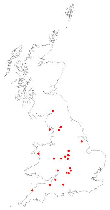
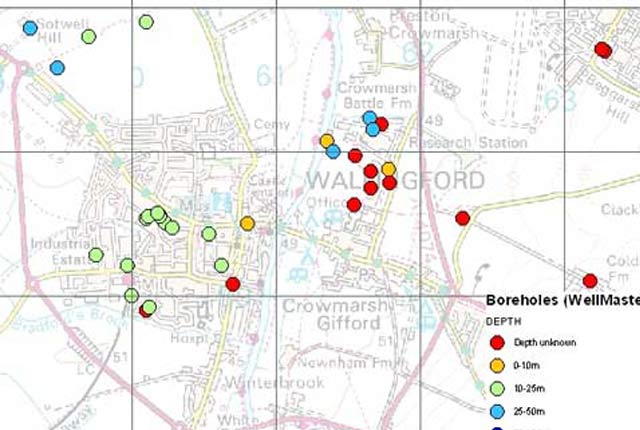
SOBI has over one million records of boreholes, shafts and wells from all forms of drilling and site investigation work.
- Open
- Great Britain
 Data Preview
This dataset contains estimated ambient background concentrations of potentially harmful elements for rural and selected urban topsoils.
- Premium
- 1:50 000 (or as defined below)
- Great Britain
Data Preview
Frequenty asked questions for the BGS Soil Chemistry for environmental assessments dataset.
 API Available
Data Preview
API Available
Data Preview
The Soil Parent Material Model details the distribution of properties of the weathered and unweathered soil parent materials of Great Britain.
- Premium
- 1:50 000
- Great Britain
Data Preview
- Open / Premium
- Partial Great Britain coverage: south-west England
The BGS superficial thickness hex grid map shows the variation of the thickness of superficial deposits across Great Britain.
- Open
- 1 km hex grid (approx. 1:1 000 000)
- Great Britain
 Data Preview
The superficial deposit thickness model shows the depth of the bedrock surface below unconsolidated deposits
- Open / Premium
- 1:100 000
- Great Britain
Data Preview

Total organic carbon is a measure of the weight per cent of organic carbon within hydrocarbon source rocks. This dataset is derived from borehole analysis.
- Premium
- Great Britain
The British Geological Survey (BGS) has one of the largest databases in the world on the production and trade of minerals.
- Open
- Worldwide
 Data Preview
The UK stream sediment geochemistry maps present data compiled from the G-BASE and TellusNI geochemical projects.
- Open / Premium
- Great Britain and Northern Ireland
Data Preview
 Data Preview
The UK Compiled Topsoil Dataset (UKTS), is the most extensive topsoil geochemistry dataset for the UK.
- Open / Premium
- Partial UK Coverage
Data Preview
BGS vitrinite reflectance data derived from borehole analysis. Vitrinite reflectance data tells us the maximum temperature history of a sediment.
- Premium
- Great Britain
Our digital version of the water well archive. Index level data is available for all water boreholes known to the BGS.
- Open / Premium
- Great Britain
As a result of our annual price review BGS will apply, in most cases, a 3 percent increase* to our direct licence fees for our data products from 1st April 2026. This means that any direct licence issued or renewed on or after 1 April 2026 will reflect this increased price. Existing data licensees will not be affected until such time as their licence is next due for renewal, after 1 April 2026. BGS undertakes annual price reviews and will communicate any future licence fee changes (from 2027) as appropriate.
If you have any queries regarding this matter, please contact the IPR digital team (iprdigital@bgs.ac.uk).
* Due to the specific pricing of individual datasets please note not all price changes will equate exactly to 3%.