

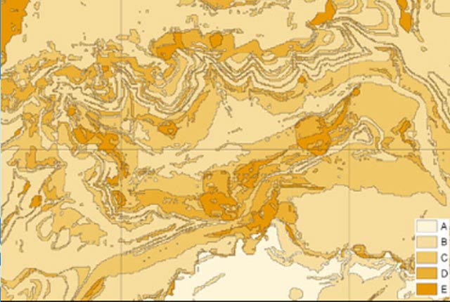
BGS Geosure
- 1:50 000
- Great Britain
- Premium
The BGS GeoSure national datasets provide geological information about potential ground movement or subsidence that can help planning decisions.
Supporting documents:

Key information
- Scale:
- 1:50 000
- Coverage:
- Great Britain
- Availability:
- Premium
- Price:
All six themes: £0.91 per km2
Shrink-swell: £0.35 per km2
Landslides including Debris Flow Model: £0.35 per km2
Soluble rocks: £0.18 per km2
Collapsible deposits: £0.06 per km2
Compressible ground: £0.23 per km2
Running sands: £0.23 per km2
Subject to number of users, licence fee and data preparation fee.
- Format:
- GIS polygon data (ESRI, others available by request)
- Uses:
- Local-level use
- Themes:
- Engineering geology, Hazards
- Sector:
- Construction and planning, Ground stability
The BGS GeoSure national datasets provide geological information about potential ground movement or subsidence that can help planning decisions. This data also provides essential information for the BGS Natural Ground Stability GeoReport.
BGS GeoSure data gives you information about:
| Geosure dataset | Property hazard information | Sample data |
|---|---|---|
| Collapsible deposits | yes | yes |
| Compressible ground | yes | yes |
| Landslides | yes | yes |
| Running sand | yes | yes |
| Shrink-swell | yes | yes |
| Soluble rocks | yes | yes |
| Debris flow susceptibility model | – | yes |
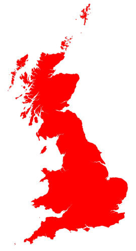

BGS GeoSure coverage across UK
You may also be interested in
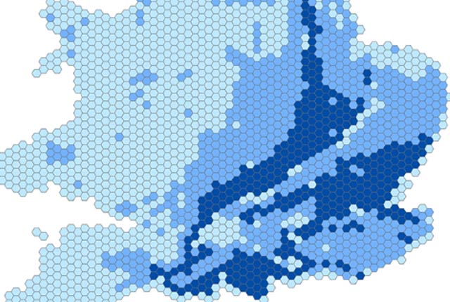
BGS GeoSure 5 km hex grid
The BGS GeoSure 5 km hex grid datasets provide a generalised overview of the susceptibility to six naturally occurring geohazards in Great Britain.
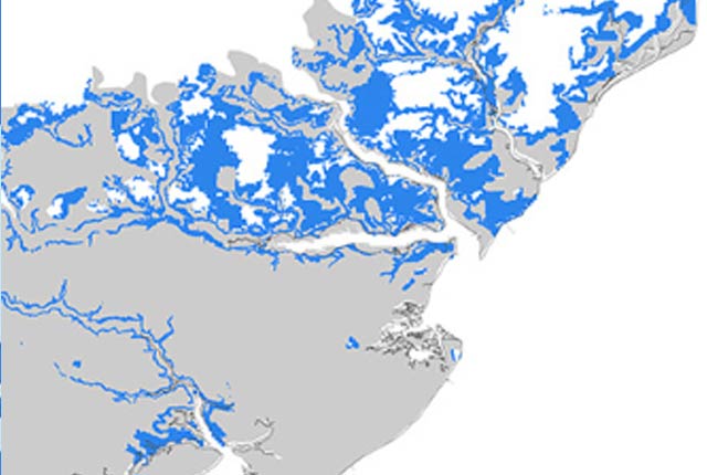
BGS GeoSure: shrink–swell subsurface
This is a single data layer that identifies areas of potential shrink–swell hazard that are underneath another solid formation and therefore hidden from the surface.
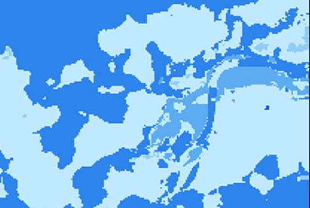
BGS GeoSure: shrink–swell 3D for London and Thames Valley
The shrink–swell 3D data is a regional hazard susceptibility map that identifies areas of potential shrink–swell hazard in 3D at intervals down to 20 m in the London and Thames Valley area.
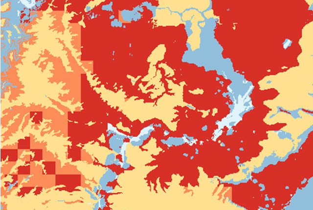
GeoClimate UKCP18 Premium
This product has now been superseded by the GeoClimate Shrink-swell dataset.
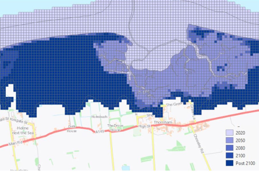
GeoCoast Premium
GeoCoast is an integrated GIS package of datasets designed to inform and support coastal management and adaptation.
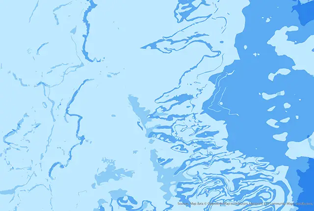
GeoSure insurance and lenders product
This product provides an index-level assessment of the potential for financial insurance loss due to natural ground movement.
Infiltration SuDS map
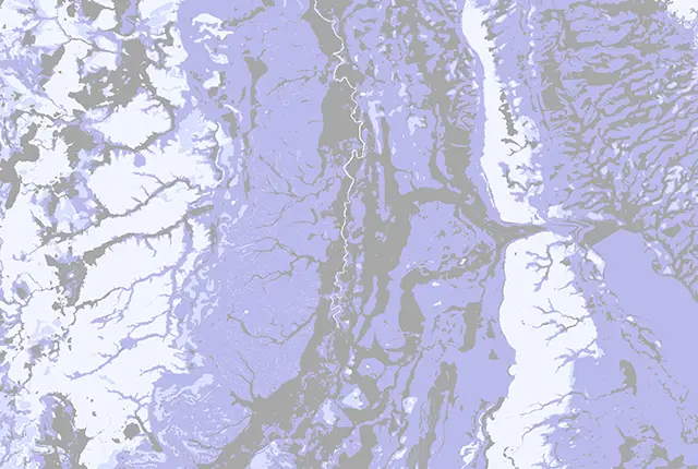
The BGS Infiltration SuDS map dataset is suitable for those involved in the design of sustainable drainage systems and approving SuDS planning applications.
Mining hazard (not including coal) coverage
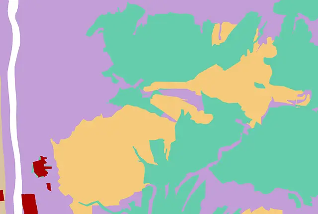
The mining hazard dataset provides essential information for planners and developers building in areas of former shallow underground mine workings.