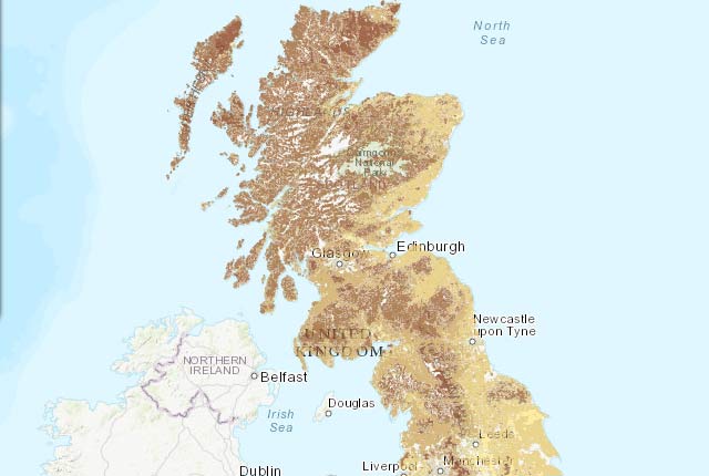
The BGS is involved in many initiatives, at UK, European and global scales, that aim to increase access to public environmental spatial data in interoperable formats.
<GeoSciML/>
We joined worldwide partners to develop GeoSciML, a geology exchange language for interpreted geology information that is conventionally portrayed on geological maps.
OneGeology
We led OneGeology in creating an integrated digital geology map of the world, merging live data from over 50 national geological surveys.
UMRI-NERC digital products
Find out about digital products across UKRI and NERC.
You may also be interested in
Technologies
Applications, software and online services created by the BGS and our collaborators.


