The BGS Environmental Modelling team aims to advance the understanding of environmental systems through innovative modelling techniques and interdisciplinary research. With a focus on the terrestrial water cycle, we are dedicated to developing accurate, predictive models that aim to support the management of our water environment and its linked environmental systems.
To address the many challenges of a changing climate and environment, people must collaborate. Our work will support a range of stakeholders, from local communities to national governments.
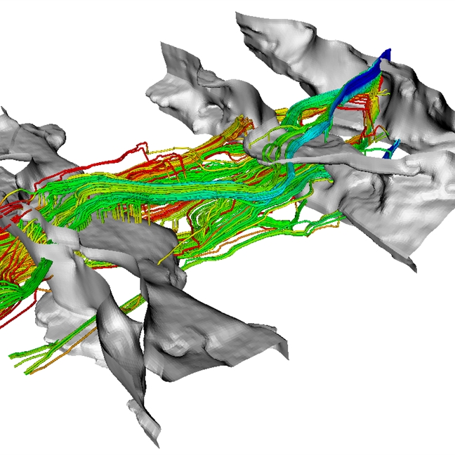
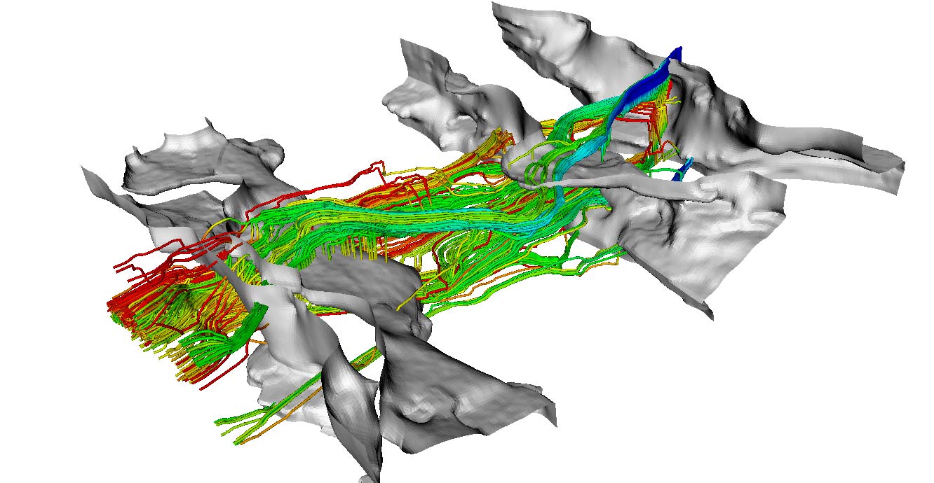
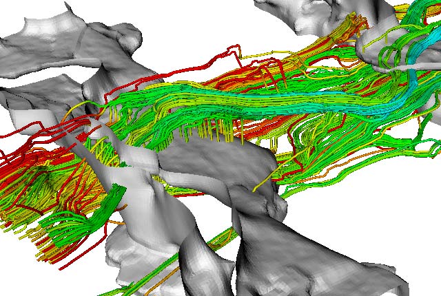
A 3D model of groundwater flowpaths.
Our team comprises experts in:
- hydrogeology
- hydrology
- pollution and contaminant transport
- geochemistry
- the cryosphere
- flooding
- water resources management
Through the development and application of state-of-the-art mathematical models, we strive to improve our knowledge of the terrestrial water cycle, forecast future change and contribute to sustainable environmental management.
Find out more about our research
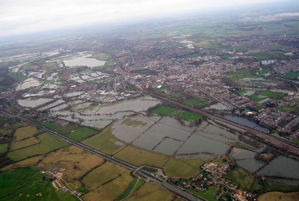
Groundwater level forecasting
BGS delivers probabilistic forecasts of groundwater levels across the UK’s principal aquifers to provide a range of services that build national resilience to groundwater extremes.
Groundwater modelling
Our modelling research focuses on the development and application of models to improve our understanding of hydrological and groundwater processes
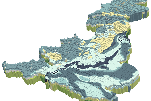
British Groundwater Model
A unique tool for simulating groundwater resources at the national scale.

Glacial, periglacial and permafrost modelling
Glacier ice and permafrost have important implications for global water security and energy infrastructure
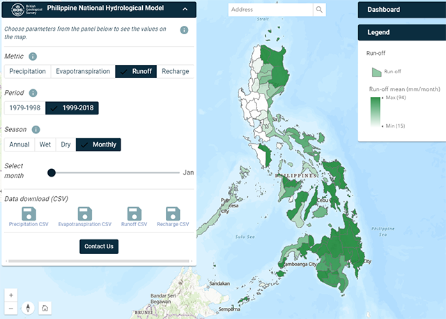
Philippine Hydrological Model
The first national-scale hydrological model of the Philippines.
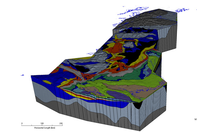
Hydro-JULES
The Hydro-JULES research programme will develop a new generation of terrestrial hydrological models to understand the terrestrial water cycle.
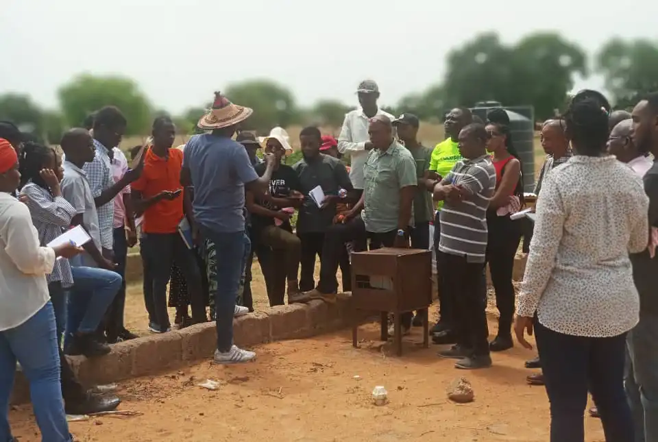
TerraFIRMA
TerraFIRMA is a five-year, NERC-funded, Multi-Centre National Capability (MCNC) UKRI award running from April 2022 to March 2027
Related news
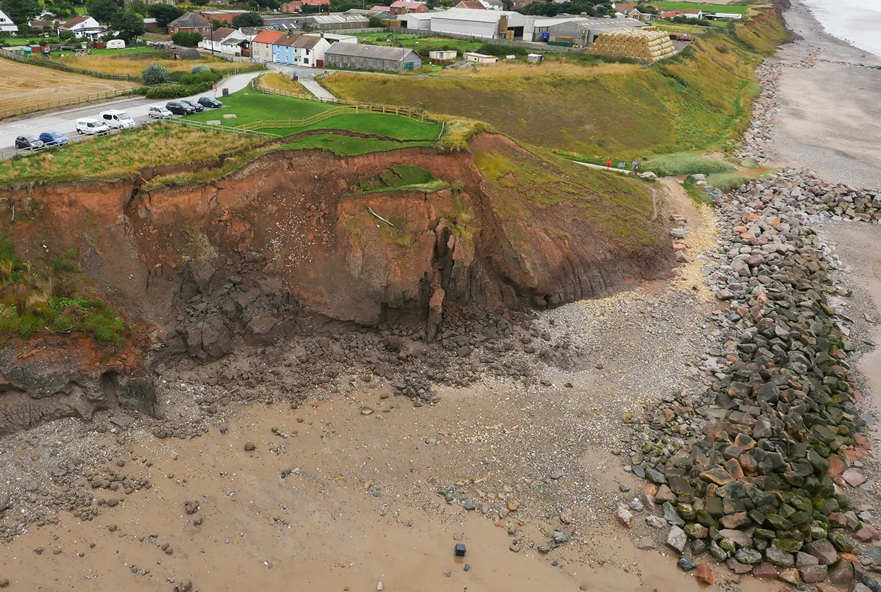
What does the next generation of coastal environmental models look like?
15/04/2025
A new tool is now available that has been designed to help coastal engineers and practitioners better manage the compound risk of coastal erosion and flooding.
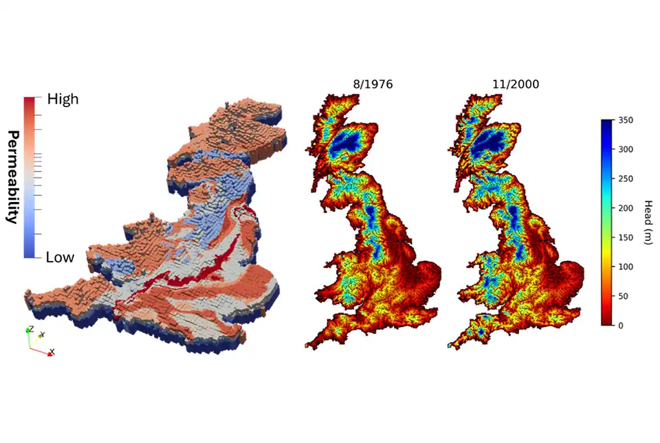
First national-scale groundwater model in Great Britain developed
14/05/2024
BGS has developed a new model that provides a unique tool for simulating groundwater resources at a national scale.
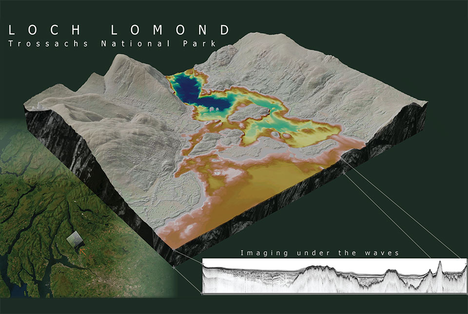
What lies beneath Loch Lomond?
17/10/2023
BGS geoscientists have visualised what lies beneath the waves of Loch Lomond, revealing an image of the loch bed and various sedimentary features of the subsurface.
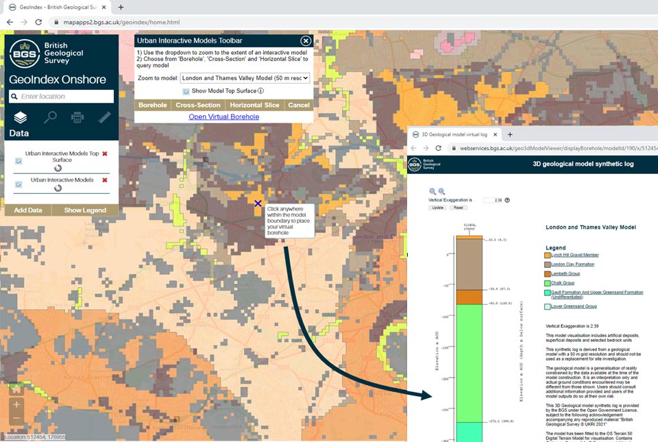
New tool provides users with free access to geological models for three major UK cities
18/11/2021
A new tool providing free user access to 3D geological models has been added to the GeoIndex.
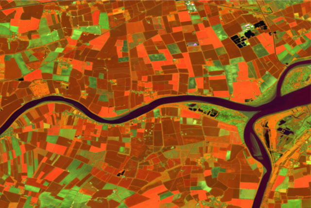
Five minutes with … the BGS Hazard and Resilience Modelling team
22/04/2021
Meet the team behind our geohazard products and datasets.
You may also be interested in
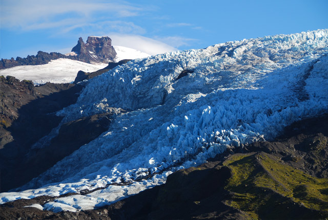
Glacier monitoring
The BGS uses cutting-edge technology in Iceland to monitor how glaciers and their surrounding landscape change over time, and how they respond to climate.
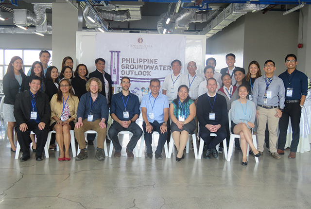
Philippine groundwater outlook
The PhiGO project seeks to undertake assessments of population and climate change impacts on regional groundwater resources and translate these into usable forecasts of flood and drought risk.


