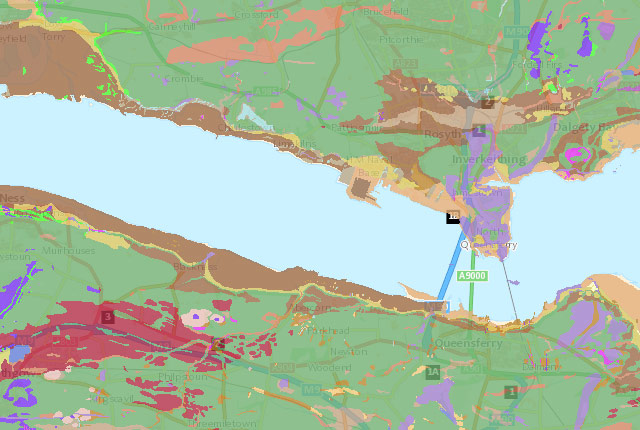
GeoIndex (onshore)
Search BGS datasets using GeoIndex, a map-based index of a wealth of information that we have collected or have obtained from other sources.
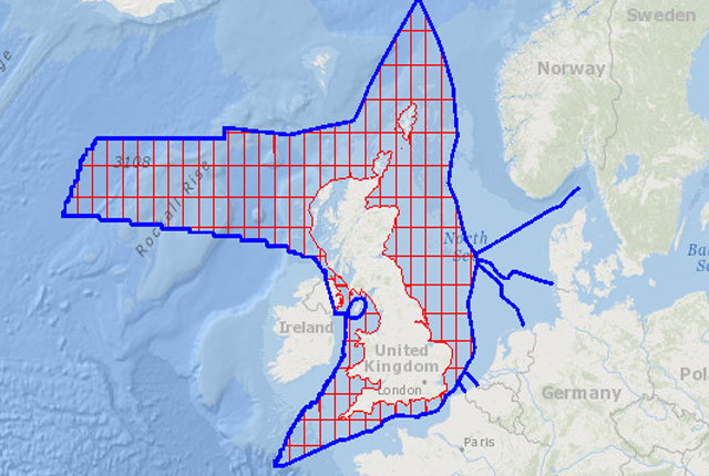
GeoIndex (offshore)
The offshore GeoIndex shows the range of marine geoscience data held by the BGS within the National Geoscience Data Centre (NGDC).
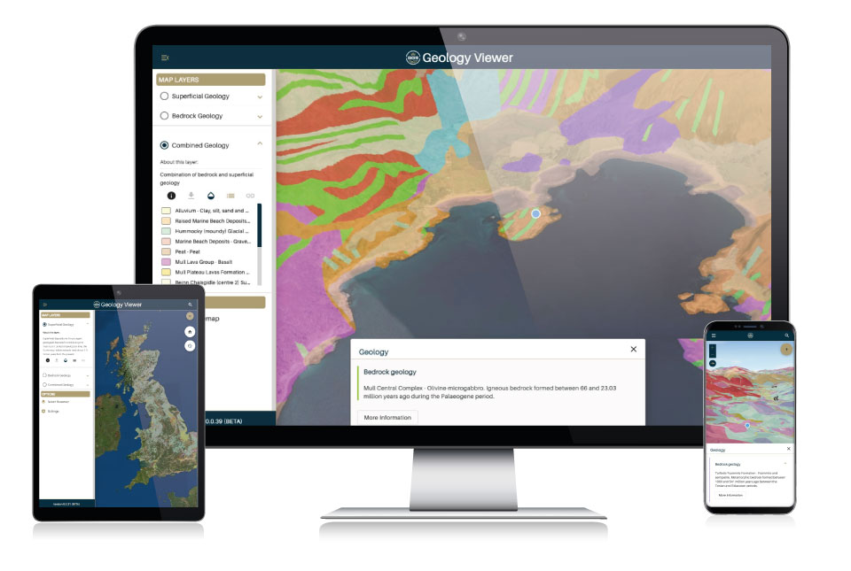
BGS Geology Viewer
The BGS Geology Viewer has been designed to provide geology enthusiasts and the general public with bedrock and superficial geology maps of Great Britain.
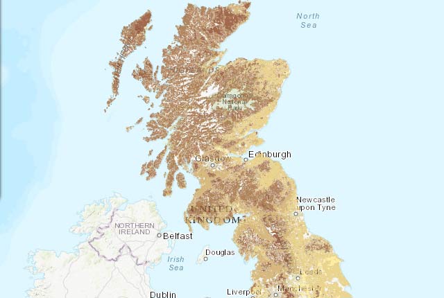
UK Soil Observatory
The UK Soil Observatory is a collaboration of institutions providing and delivering information about the diverse soil types of the UK.
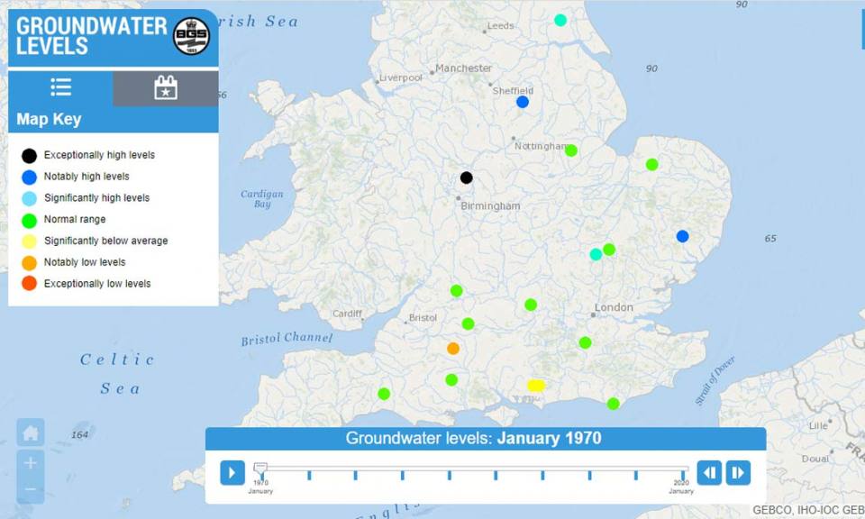
Groundwater levels timeline
The groundwater levels timeline map viewer provides online access to UK monthly groundwater levels dating back to 1970.
Other viewers
We have a wide variety of map viewers available to general public that allow you to access our geological data online.