Our Product Development teams specialise in combining geoscience with data analytics. Our remit is to maintain and develop new and innovative data products to provide geoscientific information to our stakeholders, served up in a format that is accessible and intuitive.

We work closely with the BGS research areas to ensure we incorporate the latest in data, knowledge and know-how, and alongside business development, translate science into data products that respond to stakeholder needs. We also contribute scientific and geospatial analytical skills and data management expertise to cross-government, multi-agency approaches such as Geospatial Commission.
If you would like to receive regular updates on our latest news and developments then please join our newsletter. You can view the latest edition of the data products newsletter here.
Combining expertise from engineering geology, geochemistry, modelling, GIS and many more disciplines, our product development aims to:
- supply data and knowledge to users that can be used in the analysis of a range of geo-environmental problems
- explore alternative and new methodologies with internal and external partners, developing existing products and services as well as generating new and innovative ones
- develop multidisciplinary data products
- develop dynamic products (i.e. temporal or responsive) modelling factors such as impact, resilience, risk and uncertainty using numerical and stochastic techniques, improving the quality and integrity of products and services
- develop new and innovative methods of data presentation, particularly looking at how to incorporate near real-time data, dynamic process models and 3D geological models and data
- respond to end-user needs /problems – work in collaboration with external and internal stakeholders.
The BGS has set up a data user group to help steer and evaluate new and existing data products. The programme enables us to consult a wide range of consumers of both our commercial and open data products, who then influence and assist us in developing new products that are relevant to our user community.
We are always happy to have new members of this group and welcome any interest. If you are keen to get involved, preview early releases of data and have an opportunity to influence product development then please contact the digital licensing team.
We regularly work in partnerships and on collaborative projects such as NERC ERIIP, NERC Innovation, Innovate UK, Pathfinder and European Space Agency. We contribute both scientific and geospatial analytical skills and expertise.
The Product development teams have a broad range of data analytical skills and expertise and are able to provide commissioned services to stakeholders, for example a review of multiple geohazards tailored specifically to a network or asset portfolio. We have carried out work for National Grid, Network Rail, HS2 and others.
Featured data products
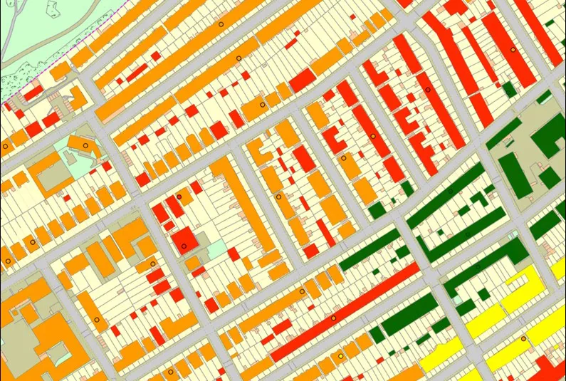
Property subsidence assessment
The BGS property subsidence assessment dataset uses a combination of best available geology, tree location and property information to provide property- and postcode-specific information on ground movement across England and Wales.
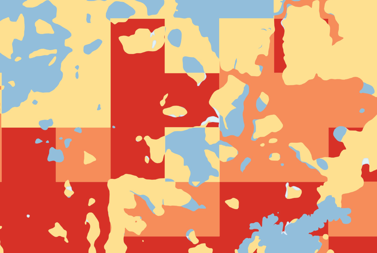
BGS Resistivity
This theme provides information on the electrical resistivity of a geological material, to be used where the earthing characteristics of the ground are required.
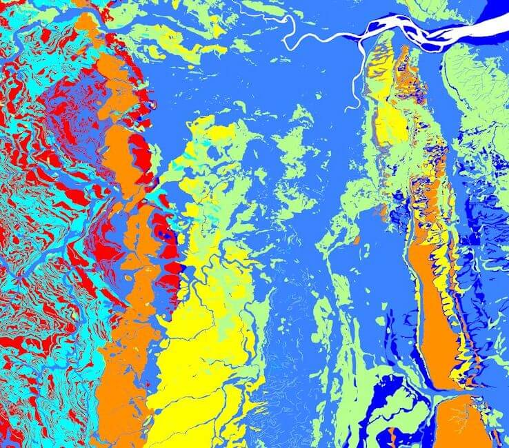
BGS GeoScour Premium
The BGS GeoScour datasets provide a generalised overview of the natural characteristics and properties of catchment and riverine environments for the assessment of river scour in Great Britain.
Latest digital data news & events

Updated national 3D model will determine the depth to the solid bedrock beneath our feet
13/07/2026
The BGS Superficial Deposit Thickness Model now includes an elevation model of geological rockhead for the first time, providing important data for civil engineers, geoscientists and environmental scientists.

From archive to discovery: historical mineral reports support gold exploration in Scotland
25/06/2026
Digitised geological records show potential to unlock untapped mineral resources in Ardlochan, Argyllshire.

Ukraine and the UK strengthen their commitment to geological cooperation
10/06/2026
A new Memorandum of Understanding reaffirms the UK’s support of Ukraine’s ambitions to develop its critical mineral resources, paving the way for collaboration through capacity-building programmes.

New geological maps of Berwick-upon-Tweed to help future-proof natural water supply
20/05/2026
Scientists have mapped the geology under the town to better understand the groundwater system to inform decisions around abstraction.
BGS GeoClimate – dataset launch webinar
Event on 02/06/2026
The virtual launch of our new BGS GeoClimate dataset – helping mitigate the economic risk from shrink-swell subsidence. Event recording now available

Map of BGS BritPits showing the distribution of worked mineral commodities across the country
18/02/2026
BGS’s data scientists have generated a summary map of the most commonly extracted mineral commodities by local authority area, demonstrating the diverse nature of British mineral resources.

Funding secured to help mitigate ground risk in UK construction sector
05/02/2026
The BGS Common Ground project has been awarded new funding to help unlock the value of ground investigation data.

New geological maps of the Yorkshire Wolds to better inform groundwater management and policy decisions
17/12/2025
The new mapping provides crucial data on localised geological issues that may assist in protecting water supplies.

Latest BGS Geology 50K mapping data launched
06/11/2025
Some of our most widely used maps have received a major update, including the 1:50 000-scale map series that now includes enhanced coverage of Great Britain.

World Cities Day: the geological story of our cities
31/10/2025
Understanding the rocks that underlie our towns and cities, the risks they can present and how they influence urban planning and redevelopment.

New BGS GeoIndex viewer released for user testing
24/09/2025
The premium map-viewing application has been given a major upgrade and made available as a beta release.

New seabed sediment maps reveal what lies beneath the waves
03/09/2025
Marine ecosystem science and offshore infrastructure will be boosted by a new dataset showing sediment composition across the UK continental shelf.


Get in touch
You might also be interested in:
Digital data licensing and resellers
Providing a wide range of licences for the use and utilisation of our information products by for those interested in an information product and the Open Government Licence is not applicable.
