BGS Groundwater Flooding Susceptibility: helping mitigate one of the UK’s most costly hazards
Groundwater flooding accounts for an estimated £530 million in damages per year; geoscientific data can help to minimise its impact.
25/09/2024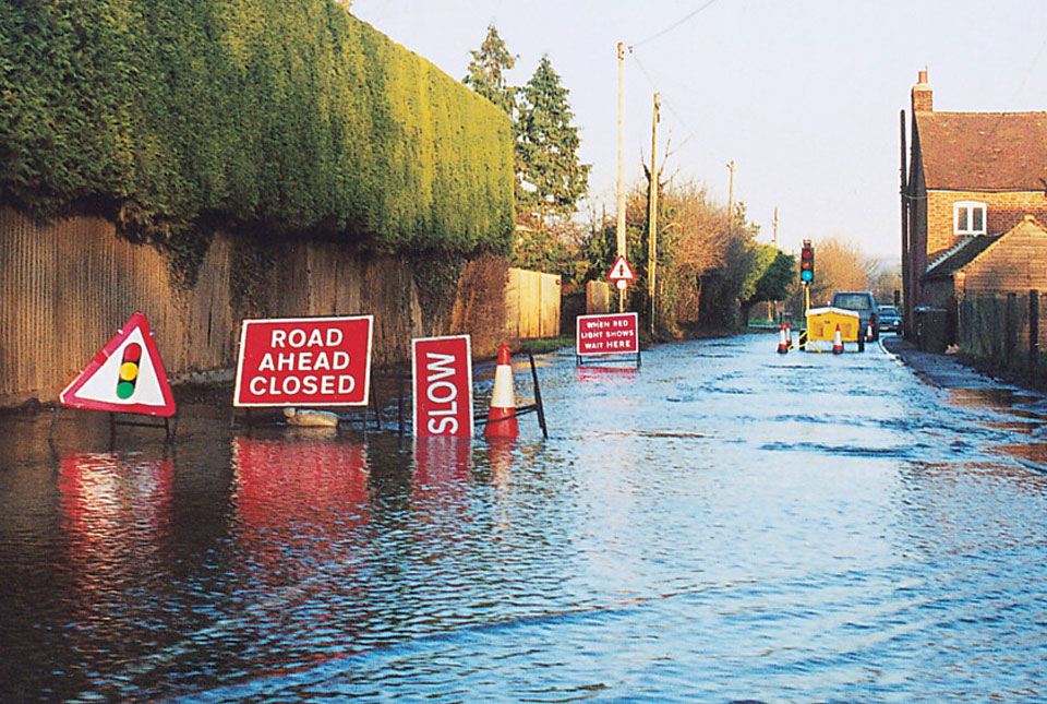
Groundwater flooding occurs when the water table rises to meet the ground surface. This hazard often goes unnoticed because it commonly occurs alongside river and surface water flooding, but it can substantially exacerbate the effects of flooding events.
Without dramatic images of burst river banks or breached sea defences, groundwater flooding rarely makes the headlines, yet in England and Wales it is estimated that groundwater flooding accounts for on average £530 million in damage per year. This represents 30 per cent of the total national annual economic loss due to flooding (Allocca et al., 2021).
A significant contributing factor to the high costs associated with groundwater flooding is the effect on underground infrastructure, such as basements and buried assets. Generally, the water table response to rainfall is much slower than rivers. Persistent rainfall over weeks and months can raise groundwater levels to a tipping point, where even a short period of low-intensity rainfall can unexpectedly trigger a flooding event. The mechanics of groundwater flooding also result in flood water lingering for longer than other forms of flooding as the water table slowly recedes, causing an estimated 2.5 times greater damage than those incurred from other flood types (Allocca et al., 2021).
The BGS Groundwater Flooding Susceptibility dataset highlights which areas of England, Scotland and Wales are most susceptible to groundwater flooding, based on geological and hydrogeological conditions at a 50 m resolution. Models of groundwater flooding originating from both superficial and bedrock aquifers are combined creating zones of susceptibility which are classified as:
- the potential for groundwater flooding to occur at surface
- the potential for groundwater flooding of property situated below ground level (basements, etc.)
- limited potential for groundwater flooding to occur
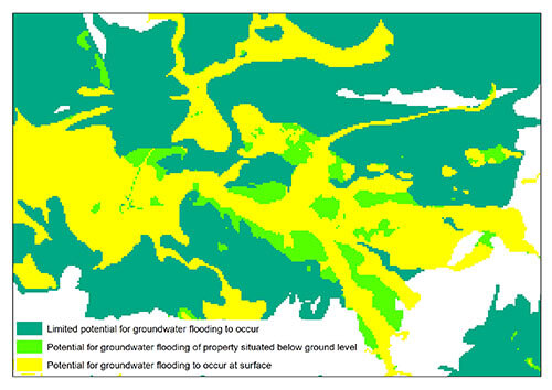
Sample of the BGS Groundwater Flooding Susceptibility dataset. BGS © UKRI
A complementary dataset providing a measure of confidence in the susceptibility classification (based on the hydrogeological setting) is included, which considers the groundwater flooding mechanism, susceptibility class and locations of previous groundwater flooding. The data is recommended as a screening tool for scoping and planning rather than for site-specific risk assessments.
Feedback from existing data users demonstrates the wide-ranging applications of this data:
- desk-based scoping studies by environmental and engineering consultants
- informing local planning authorities and property developers when compiling local development plans
- informing lead local flood authorities compiling their strategic flood risk assessments
- assessing infrastructure networks and assets, such as rail lines, highways and water treatment facilities, for susceptibility to groundwater flooding
- research by conservation and academic institutes
- informing water companies of areas that may be affected by planned reductions in groundwater abstraction activities
- informing climate reports for Ministry of Defence sites
Many home insurance providers do not provide cover for the effects of groundwater flooding and ensuring awareness of an area’s susceptibility to this hazard is an essential component of any property conveyancing report.
A more granular view of groundwater flood risk can be gained by combining this data with other information such as elevation, previous instances of groundwater flooding, rainfall, property type, and land drainage information. A number of BGS’s data resellers have used the BGS Groundwater Flooding Susceptibility dataset alongside some of our other datasets to develop their own flood modelling tools, predicting groundwater flood risk at a finer scale.
Contact
If you would like to discuss how this data can support your organisations groundwater flooding decision making please get in touch with the digital data team (digitaldata@bgs.ac.uk).
Allocca, V, Di Napoli, M, Coda, S, Carotenuto, F, Calcaterra, D, Di Martire, D, and De Vita, P. 2021. A novel methodology for groundwater flooding susceptibility assessment through machine learning techniques in a mixed-land use aquifer. Science of the Total Environment, Vol. 790, 148067. DOI: https://doi.org/10.1016/j.scitotenv.2021.148067
About the author

Rob Shaw
Geospatial data analyst
Relative topics
Related news
BGS digital geology maps: we want your feedback
29/05/2025
BGS is asking for user feedback on its digital geological map datasets to improve data content and delivery.
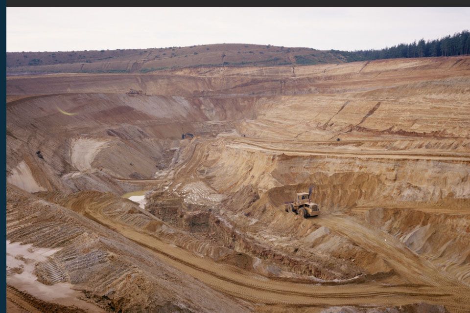
New data reveals latest mineral workings around Great Britain and Northern Ireland
01/04/2025
The newest release of BGS BritPits provides information on an additional 6500 surface and underground mineral workings.
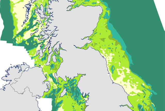
Seabed geology data: results from stakeholder consultation
31/01/2025
BGS collected valuable stakeholder feedback as part of a new Crown Estate-led initiative to improve understanding of national-scale seabed geology requirements.
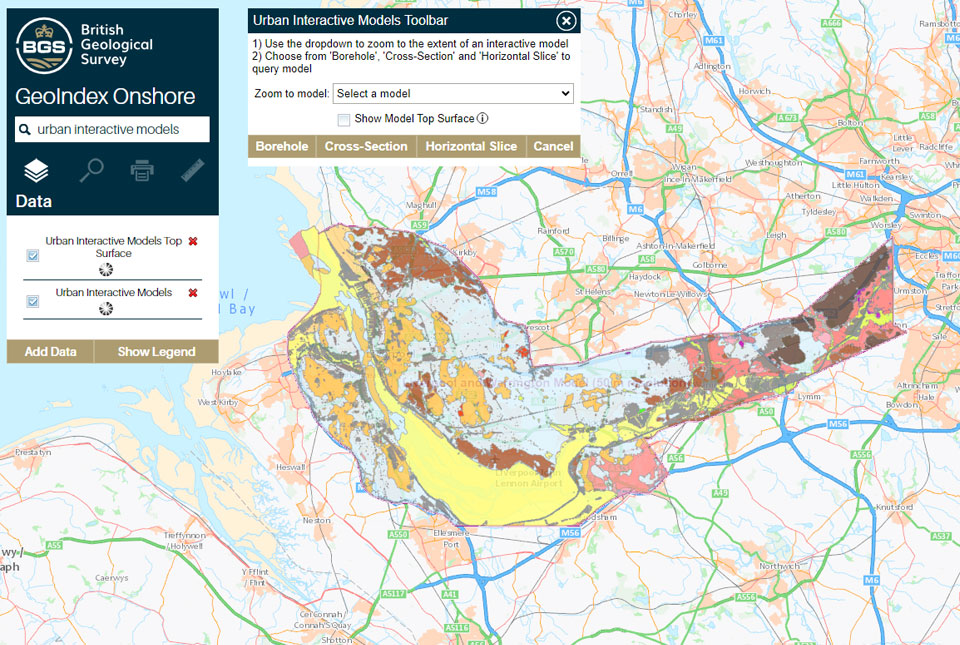
What lies beneath Liverpool?
11/10/2024
The geological secrets lying under the surface of Liverpool and Warrington have been unveiled for the first time in BGS’s 3D interactive tool.

BGS Groundwater Flooding Susceptibility: helping mitigate one of the UK’s most costly hazards
25/09/2024
Groundwater flooding accounts for an estimated £530 million in damages per year; geoscientific data can help to minimise its impact.

National Hydrocarbons Data Archive files now accessible through the National Data Repository
15/07/2024
Offshore well and survey information held within BGS’s archive have now been transferred to the North Sea Transition Authority’s National Data Repository to enable greater access.

Update released for BGS open-source database software, ETL Helper
09/07/2024
The software tool helps simplify the process of data transfer into and out of databases.
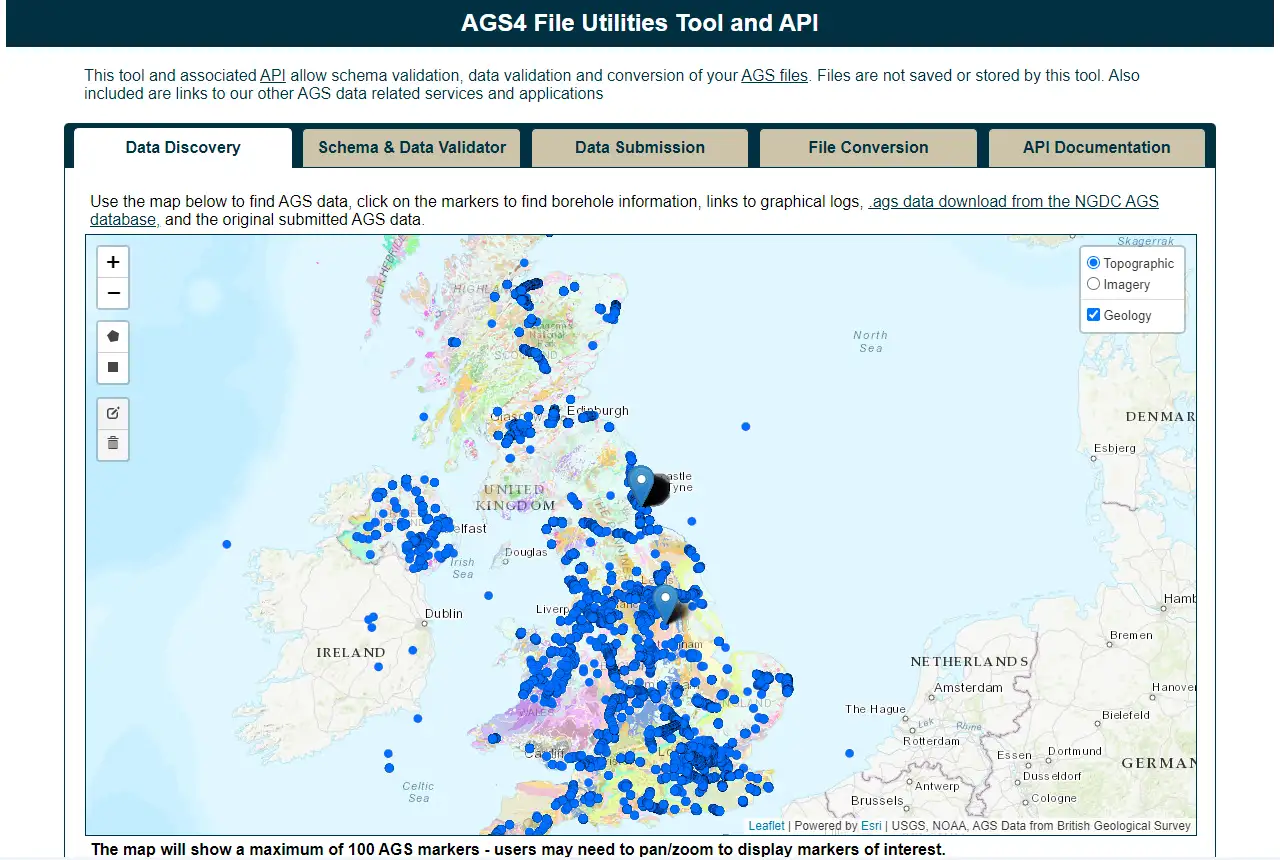
Update to BGS’s AGS file utilities tool released
19/06/2024
BGS has released significant updates to its online tool for validating geotechnical data held as AGS files. The update includes improvements to the tool’s user interface and the ability to convert AGS data into MS Excel files.
BGS’s National Geoscience Data Centre releases over 8000 technical reports
05/06/2024
The technical reports, covering the full spectrum of BGS activities and subjects, were produced between 1950 and 2000.
BGS announces collaboration with Ordnance Survey
29/05/2024
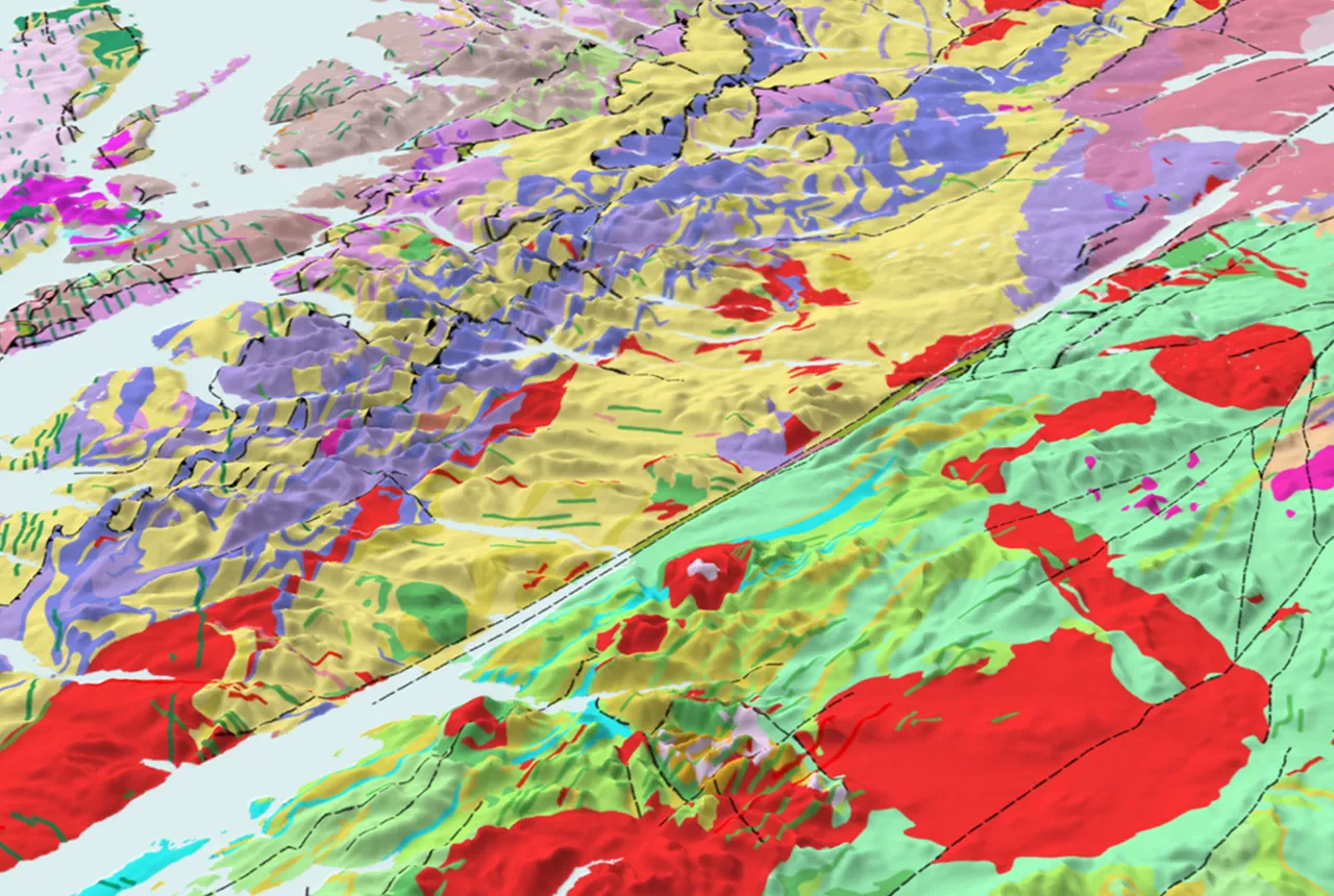
Ordnance Survey and BGS have teamed up to add a range of geological data products to the OS Data Hub, making it easier for users to access and use geospatial data.
BGS data product licence fees to rise
01/03/2024
New direct licence fees to be introduced from 1 April 2024.
Evolving policies in the face of climate change: BGS data can help
25/08/2023
Climate change is increasingly recognised as a major challenge for organisations, with the need for adaptation driving a wave of policy updates and reforms across multiple sectors. BGS data holdings are relevant to many of these changes and the following examples outline how these data packages can be applied.
You may also be interested in
GeoClimate UKCP09 and UKCP18
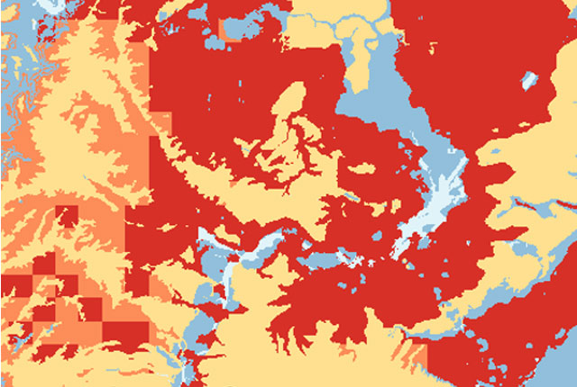
BGS has developed a suite of products, including maps and data, which show potential change in subsidence due to UKCP climate change scenarios

BGS GeoScour Premium
The BGS GeoScour datasets provide a generalised overview of the natural characteristics and properties of catchment and riverine environments for the assessment of river scour in Great Britain.
GeoCoast Premium
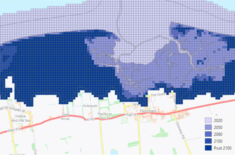
GeoCoast is an integrated GIS package of datasets designed to inform and support coastal management and adaptation.
Mining hazard (not including coal) coverage
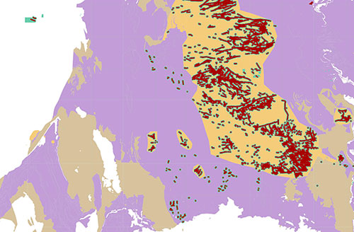
The mining hazard dataset provides essential information for planners and developers building in areas of former shallow underground mine workings.


