Relative topics
31 results for "data products"

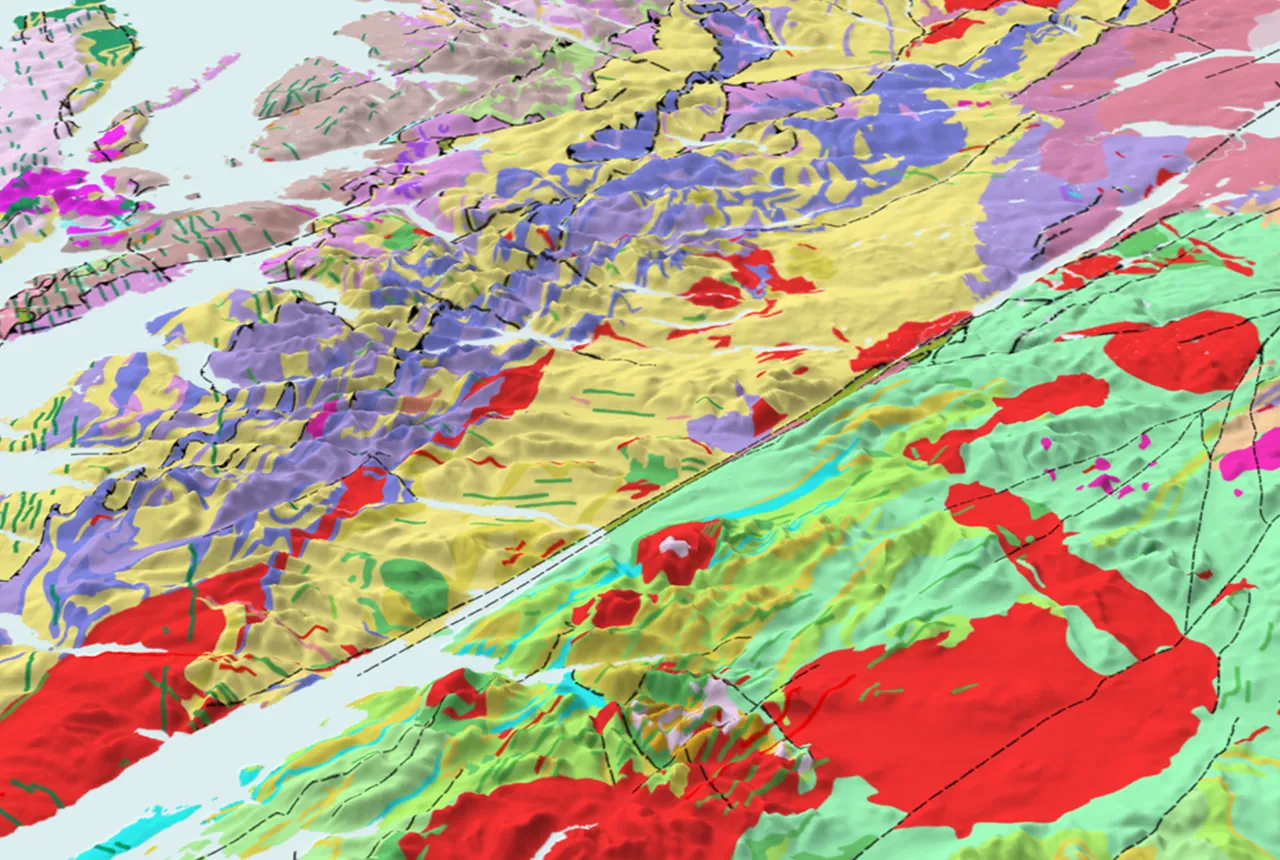
Updated national 3D model will determine the depth to the solid bedrock beneath our feet
The BGS Superficial Deposit Thickness Model now includes an elevation model of geological rockhead for the first time, providing important data for civil engineers, geoscientists and environmental scientists.
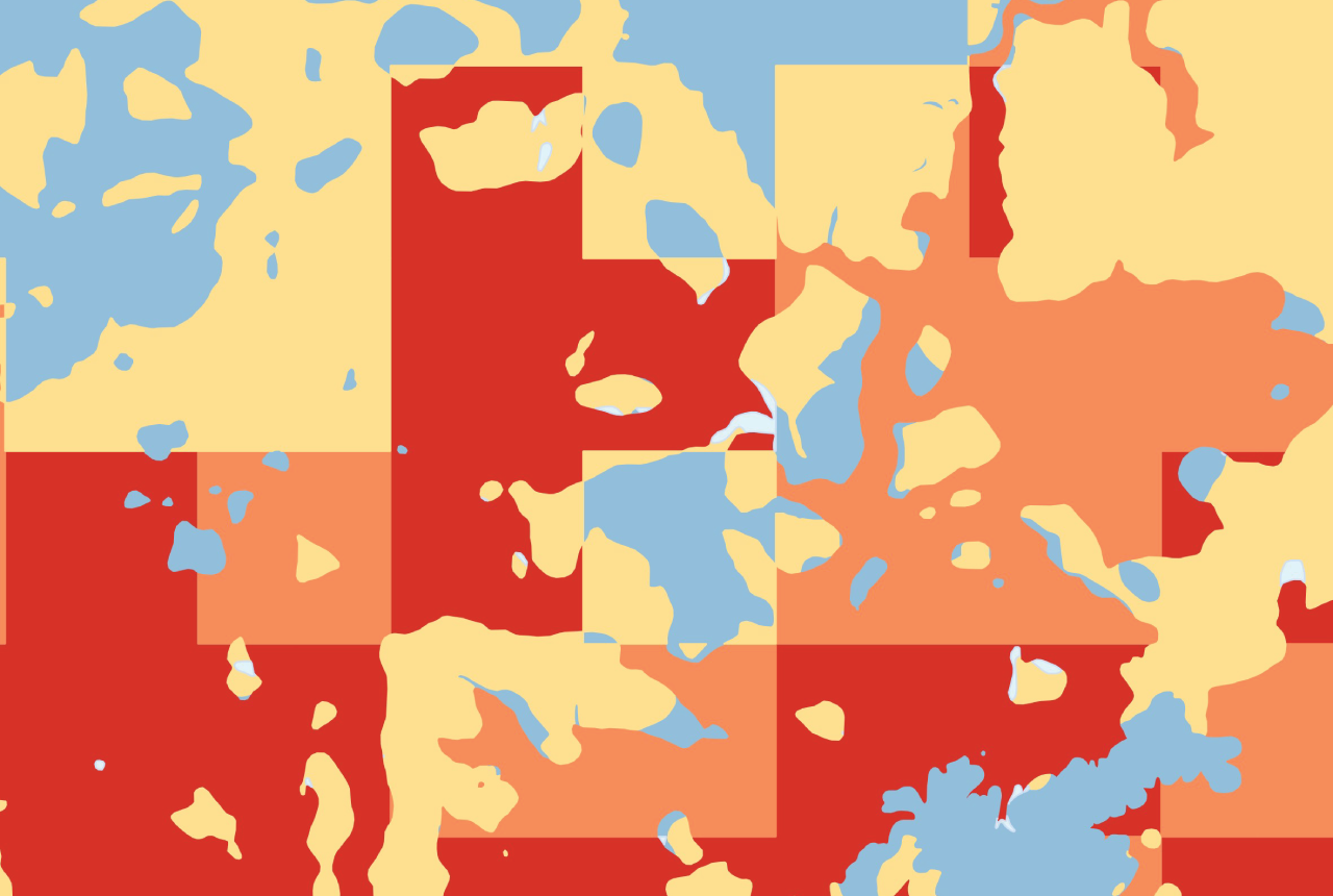
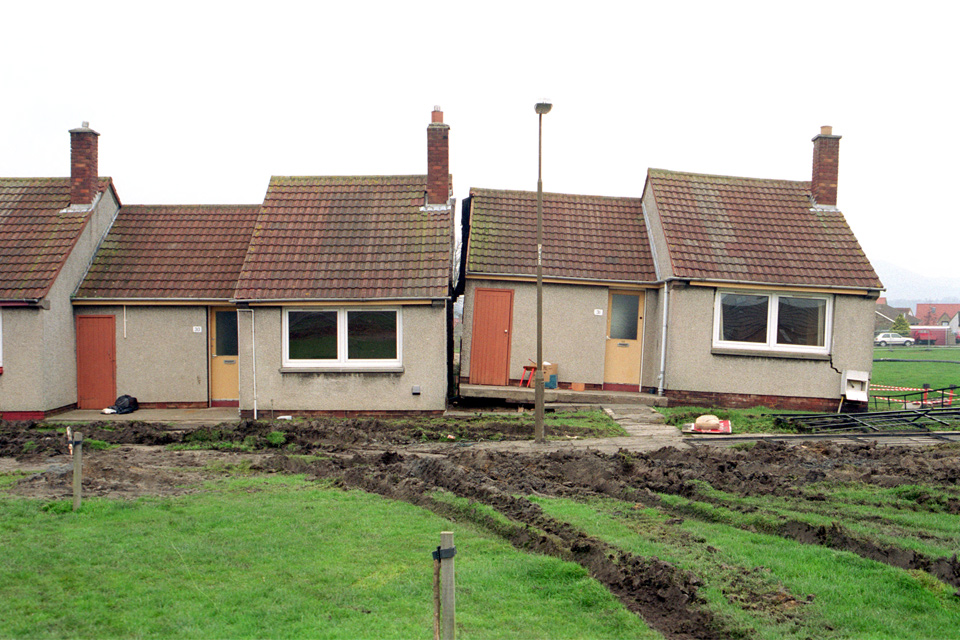
GeoClimate Shrink–Swell
GeoClimate clay shrink-swell provides information on the projected future change in susceptibility of clay shrink–swell across Great Britain due to climate change.

BGS GeoClimate – dataset launch webinar
The virtual launch of our new BGS GeoClimate dataset - helping mitigate the economic risk from shrink-swell subsidence. Event recording now available
Is your region susceptible? Britain’s geohazard hotspots revealed
From sinkholes to radon: new maps highlight the most geologically at-risk regions
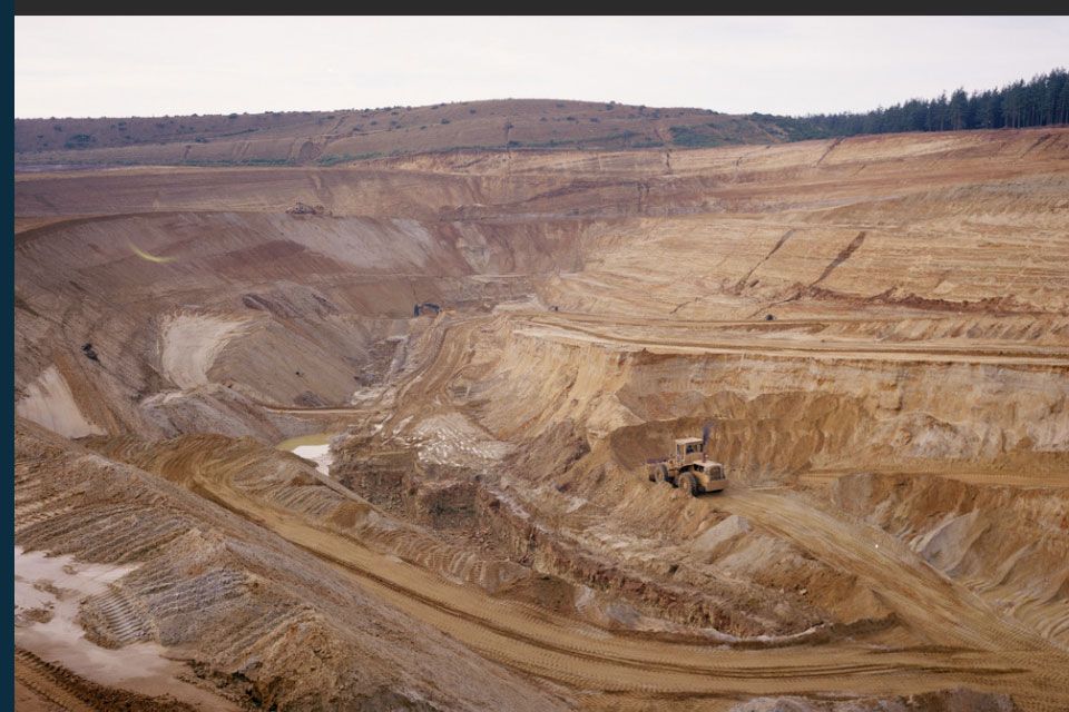
New data reveals latest mineral workings around Great Britain and Northern Ireland
The newest release of BGS BritPits provides information on an additional 6500 surface and underground mineral workings.
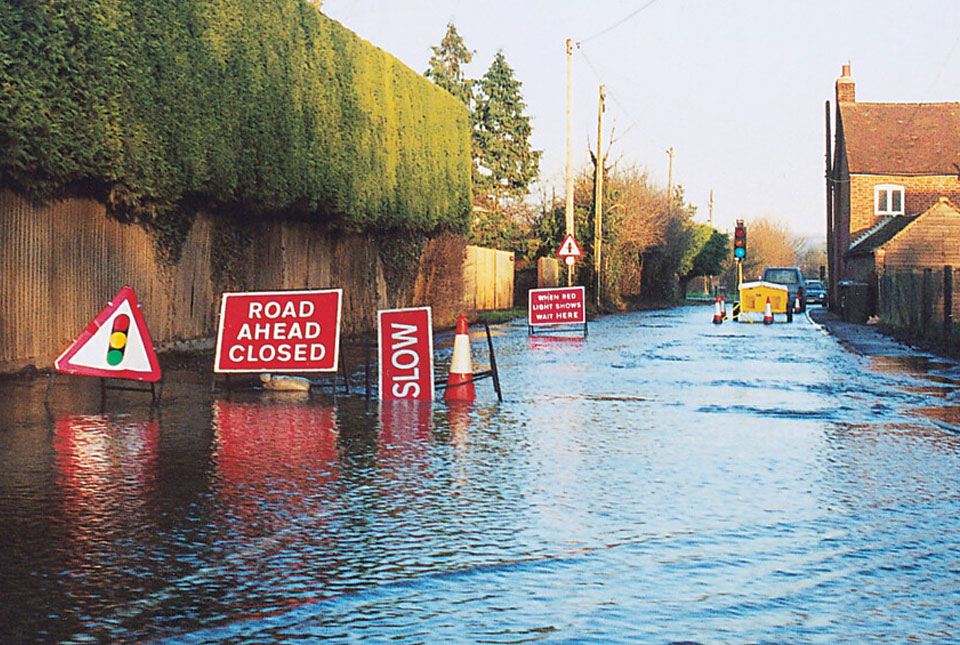
BGS Groundwater Flooding Susceptibility: helping mitigate one of the UK’s most costly hazards
Groundwater flooding accounts for an estimated £530 million in damages per year; geoscientific data can help to minimise its impact.
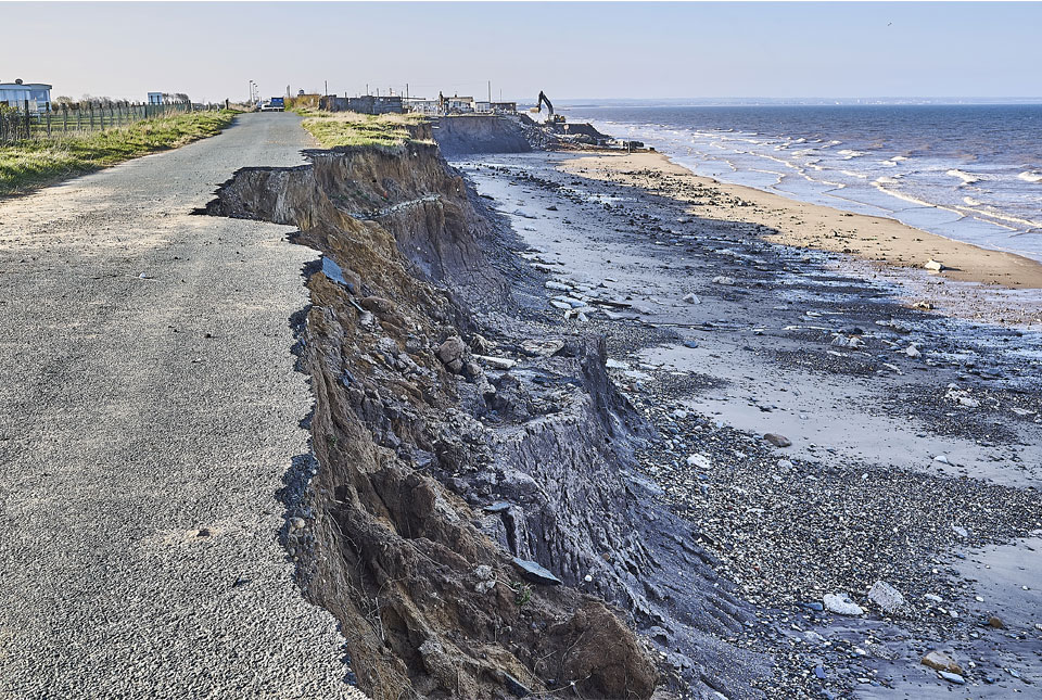
Spotlight on BGS coastal erosion data
BGS GeoCoast data can support researchers and practitioners facing coastal erosion adaptation challenges along our coastline.
BGS announces collaboration with Ordnance Survey
Ordnance Survey and BGS have teamed up to add a range of geological data products to the OS Data Hub, making it easier for users to access and use geospatial data.