Relative topics
31 results for "data products"
BGS data product licence fees to rise
New direct licence fees to be introduced from 1 April 2024.
Evolving policies in the face of climate change: BGS data can help
Climate change is increasingly recognised as a major challenge for organisations, with the need for adaptation driving a wave of policy updates and reforms across multiple sectors. BGS data holdings are relevant to many of these changes and the following examples outline how these data packages can be applied.

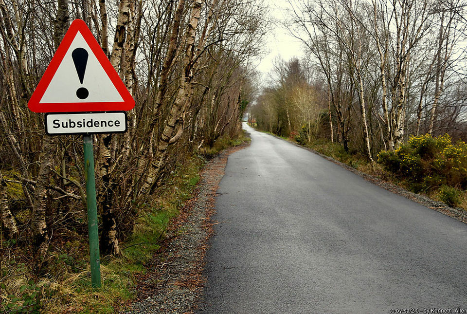
Six BGS datasets for assessing shrink–swell subsidence hazards
Shrink–swell subsidence is one of the most significant geological hazards affecting the UK. BGS has six datasets to help assess the problem.
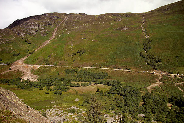
Introducing the BGS Debris Flow Susceptibility Model for Great Britain
Debris flows are a landslide hazard of particular concern to transport infrastructure managers and local authorities.
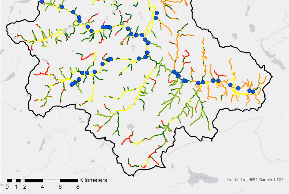
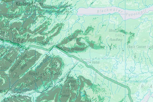
BGS GeoScour: bridging the river erosion data gap
The geological properties of bedrock and superficial deposits that make up riverbeds and banks are fundamental controls on the susceptibility of any given river reach to scouring.
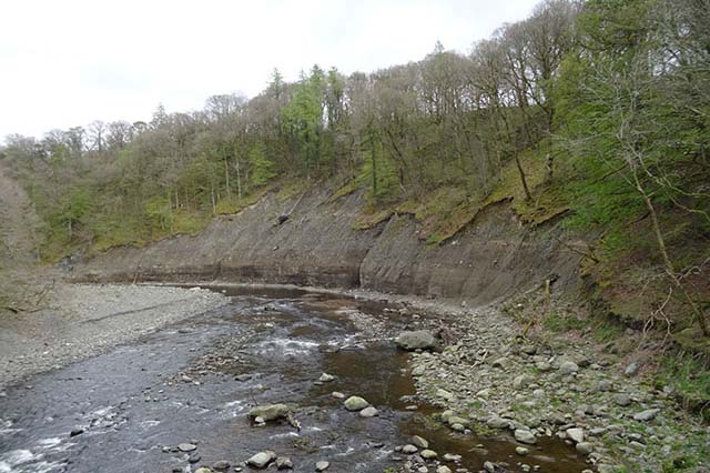
River erosion: the forgotten hazard of flooding
Impacts from flood events can be widespread, long-lasting and extremely costly. The UK Government and environmental protection agencies continue to invest heavily in mitigation measures, as well as trying to predict which areas are most at risk.
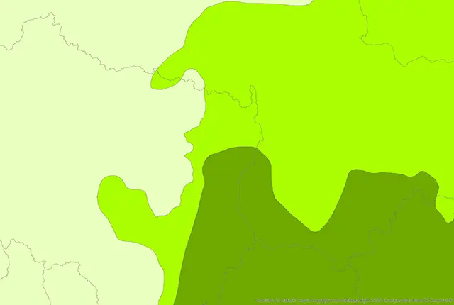
BGS GeoScour Open
The BGS GeoScour Open datasets provide a generalised overview of the natural characteristics and properties of catchment and riverine environments for the assessment of river scour in Great Britain.

BGS GeoScour Premium
The BGS GeoScour datasets provide a generalised overview of the natural characteristics and properties of catchment and riverine environments for the assessment of river scour in Great Britain.