Digital lab
BGS Research
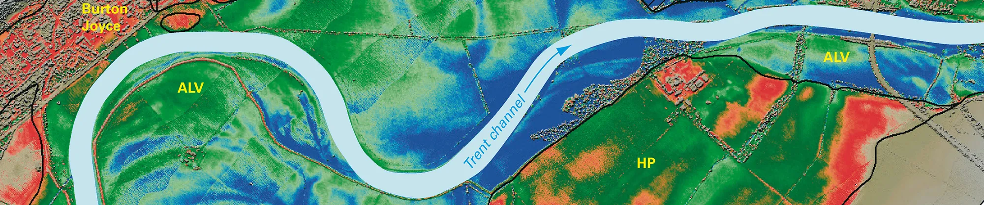
The world of geological data is changing: large digital datasets and ubiquitous computing power are changing the way that geoscience is undertaken and data is now available anywhere, anytime. Low-cost sensor technologies and ubiquitous connectivity are streaming previously unimagined volumes of real-time data about dynamic landscapes.
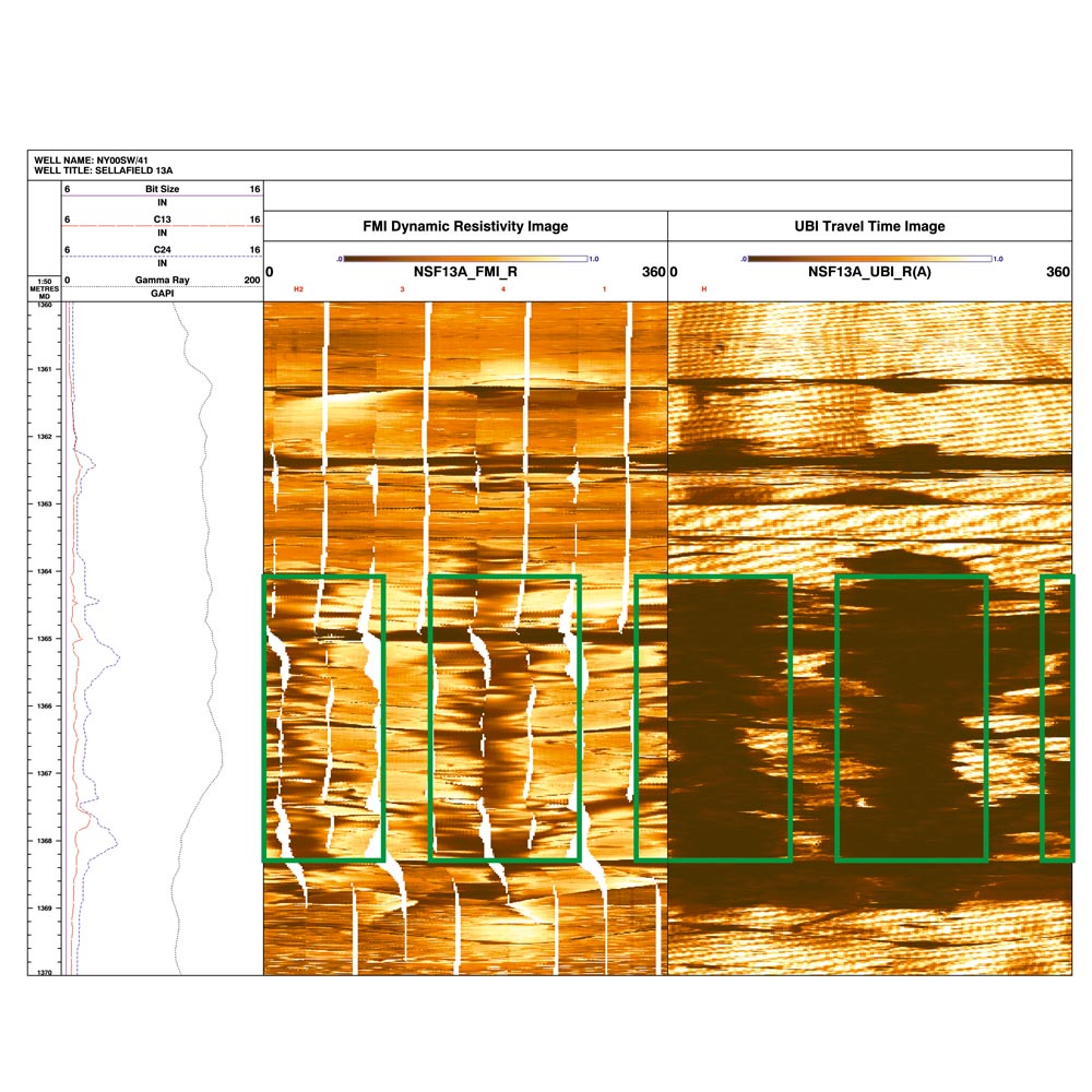

An example of a 4 m-long borehole breakout from from borehole Sellafield 13A in Cumbria in a 10 m vertical borehole section. Left-hand panel: conventional logs including perpendicular dual caliper and gamma ray. Centre panel: unwrapped circumferential resistivity borehole imaging (clockwise from north) with breakout highlighted by the green boxes. Right panel: unwrapped circumferential acoustic borehole amplitude imaging (UBI) (clockwise from north) with breakout highlighted by green boxes. BGS © UKRI.
The BGS digital lab has been created to develop, test and provide new tools and technologies that support delivery of the BGS science strategy, enabling world class research across the organisation.
Research projects
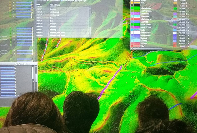
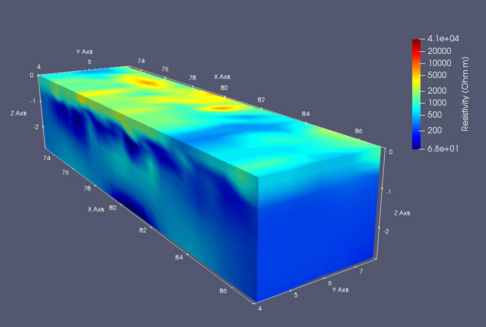
Geoscience visualisation is a fast-growing area and the BGS is one of the world leaders in its application and development. Visualisation systems enable geoscientists to communicate with each other and with end users from diverse disciplines to better understand complex and varied datasets.
The 3D visualisation systems (3DVS) team works closely with business partners to develop immersive visualisation systems and techniques for geoscientists.
Decision-support systems are software tools that aid evidence-based decision making. The first BGS example of a decision-support system is the Brownfield ground risk calculator.
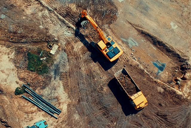
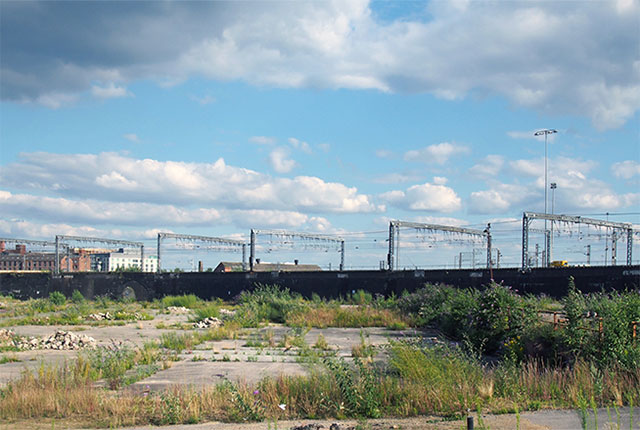
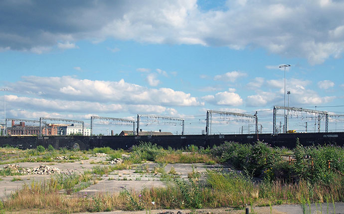
Brownfield sites are defined as having been affected by former land uses. They are often derelict or underused, may have real or perceived contamination problems, are mainly in developed urban areas and require intervention to bring them back to beneficial use.
Building on greenfield (undeveloped) areas is often unpopular. Redeveloping brownfield sites, which are often in prime locations, for housing is strongly preferable and can be achieved once these sites have been remediated ready to be safely re-used.
We have been working with partners to develop a tool to simplify and speed up this process.
The Earth’s crust is under constant stress as a consequence of global and regional tectonic processes. Even in places like the UK that are far from major plate boundaries, the in situ stress regime can be easy to overlook. However, it is a fundamental constraint on the behaviour of rocks, which can deform in any process that creates a void, such as drilling a borehole or boring a tunnel. In situ stress science cross-cuts the BGS programme.
In situ stress is a vector property with both magnitude and orientation. The World Stress Map project defines the following categories of indicators for identifying the in situ stress regime:
- earthquake focal mechanisms (magnitude and orientation)
- well-bore breakouts and drilling-induced fractures (orientation only)
- in situ stress measurements: overcoring, hydraulic fracturing, etc. (magnitude and orientation)
Borehole breakouts are zones of ellipticity in the walls of a borehole that result from a compressive failure of the well perpendicular to the maximum in situ stress orientation in vertical boreholes. Borehole imaging tools have proven particularly effective at identifying the locations and orientation of such breakouts.
Environmental statistics is the application of statistical modelling to environmental data. In statistical modelling, we make the best use that we can of our scientific understanding of processes in the environment to predict how they behave and then use random variables to model those components of the process that we do not yet understand. This allows us to test our knowledge and also to make predictions from data with associated measures of uncertainty.
This can help scientists, policymakers and environmental managers, because it allows them to explore and understand the risks associated with different decisions that they have to make about processes with uncertain outcomes.
Publications
UK landmass stress magnitude data
Fellgett, M W, Kingdon, A, Williams, J D O, and Gent, C M A. 2018. Stress magnitude across UK regions: a combination of new analysis and legacy data. Marine and Petroleum Geology, Vol. 97, 24–31.
Central and northern England in situ stress orientation data
Kingdon, A, Fellgett, M W, and Williams, J D O. 2016. Use of borehole imaging to improve understanding of the in situ stress orientation of central and northern England and its implications for unconventional hydrocarbon resources. Marine and Petroleum Geology, Vol. 73, 1–20.
Data from this is summarised in this citable dataset.
Kingdon, A, Fellgett, M W, and Williams, J D O. 2017. [Online] UK in situ stress-field orientation from borehole breakouts and drilling-induced tensile fractures identified using borehole imaging. British Geological Survey.
UKCS Southern North Sea
Williams, J D O, Fellgett, M W, Kingdon, A, and and Williamson, J P. 2015. In situ stress orientations in the UK Southern North Sea: regional trends, deviations and detachment of the post-Zechstein stress field. Marine and Petroleum Geology, Vol. 67, 769–784.
Irish Sea Basin
Williams, J D O, Gent, C M A, Fellgett, M W, and Gamboa, D. 2018. Impact of in situ stress and fault reactivation on seal integrity in the East Irish Sea. Marine and Petroleum Geology, Vol. 92, 685–696.
Published research on UK focal mechanisms
This paper presents focal mechanisms calculated from UK earthquakes greater than 3.0ML
Baptie, B. 2010 Seismogenesis and state of stress in the UK. Tectonophysics, Vol. 482 (1–4), 150–159.
Constraints on formation of borehole breakouts
Fellgett, M W, Kingdon A, Waters C N, Field L, Shreeve J, Dobbs, M, and Ougier-Simonin, A. 2019. Lithological constraints on borehole wall failure: a study on the Pennine Coal Measures of the United Kingdom. Frontiers in Earth Science, Vol. 7, 163.
European in situ stress data
The World Stress Map have compiled all European stress dataset, including the publications listed, presented in map form.
European stress data compilation
Heidbach, O, Custodio, S, Kingdon, A, Mariucci, M T, Montone, P, Müller, B, Pierdominici, S, Rajabi, M, Reinecker, J, Reiter, K, Tingay, M, Williams, J, and Ziegler, M. 2016. [Online] Stress map of the Mediterranean and central Europe 2016. GFZ Data Services.
Find out more about our research
3D visualisation systems
3D visualisation systems enable geoscientists to communicate with each other and with end users from diverse disciplines to better understand complex and varied datasets.
Our projects
Brownfield ground risk calculator
The Brownfield Ground Risk Calculator is a digital planning tool developed to help identify the scale of risks and unexpected costs associated with ground conditions.
Related news

New research highlights significant earthquake potential in Indonesia’s capital city
04/11/2025
Research reveals that a fault cutting through the subsurface of Jakarta could generate a damaging earthquake of high magnitude.
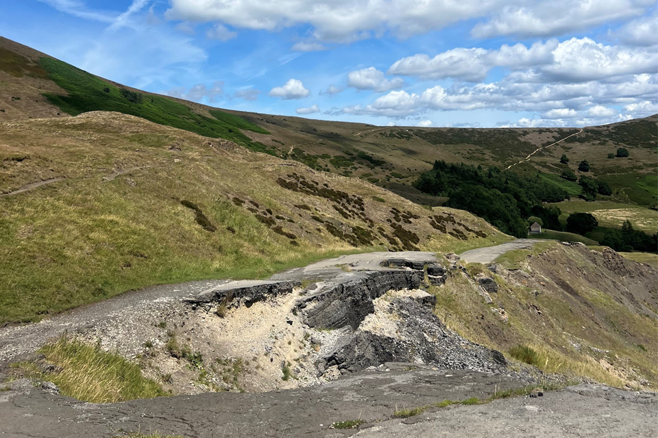
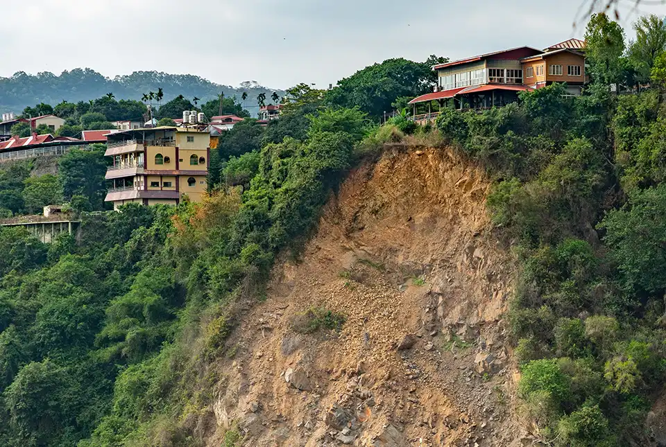
Artificial intelligence helps scientists identify 3000 moving slopes potentially at risk of landslide
25/09/2025
A new approach that combines AI and satellite data has been used by scientists to detect actively moving landslides at a national scale.
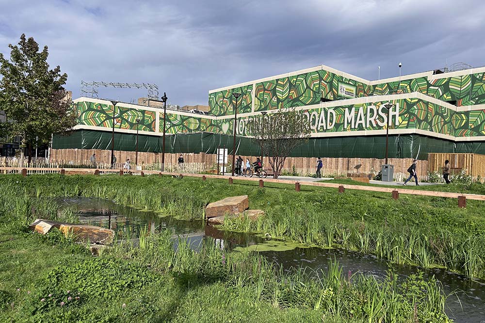
New research published on brownfield land
27/08/2025
National Brownfield Forum research on the interactions of policies affecting the planning and development of brownfield land has been published.
Studying multi-hazards from space
25/07/2024
A new European Space Agency-funded project will study the effect earthquakes have on occurrences of other natural hazards in the long-term.
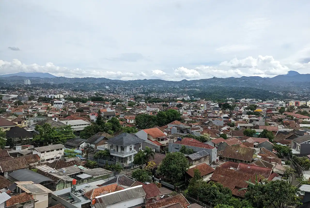
Nearly three million people in Indonesia’s second city could be affected by an earthquake
17/07/2024
BGS-led research reveals the number of people in the Bandung metropolitan region who could be exposed to a major earthquake.
Can geophysics help feed people in a changing climate?
09/11/2021
Conservation agriculture and electrical resistivity tomography could help combat the factors affecting food security in southern Africa.
Engineers invited to take part in survey to improve understanding of cost estimates for UK brownfield sites
07/07/2021
Quantity surveyors and civil engineers have until the end of July to take part in a survey that will help to improve the accuracy of indicative cost estimates for UK brownfield sites.
Spaceborne data: an expanding role in disaster response
23/06/2021
Alessandro Novellino explains the importance of Earth observation to help facilitate successful emergency responses after natural hazard occurrences.

BGS joins international research into robotic revolution
08/01/2021
International research illustrates the opportunities and challenges that robots and autonomous systems, could bring for urban biodiversity and ecosystems in the future.

BGS data supports new tool to track geological changes in abandoned coal mines
20/11/2020
BGS data supports new tool to track geological changes in abandoned coal mines.
BGS partners with Arcadis in £70 000 research programme to support brownfield development
15/10/2020
New research will explore microorganisms with the potential to breakdown hazardous chemicals in the environment.
You may also be interested in
Hazard and resilience modelling
Developing new and innovative data products that deliver geoscientific information to a range of users in an accessible form.

Geodesy and Earth observation
Developing and using innovative Earth observation techniques to characterise and monitor Earth processes that affect lives and livelihoods.