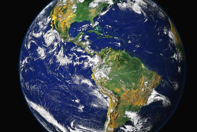
Natural geological hazards, such as earthquakes, landslides and volcanic eruptions, and their associated impacts and risks are of key concern to lives and livelihoods, including long-term economic growth. Monitoring and understanding dynamic geological processes and using this information to improve disaster risk reduction can increase the security and sustainability of development.
Our collaborative research focuses on characterising complex, multi-hazard processes primarily in Latin America and the Caribbean, eastern Africa and Asia. Our aim is to improve resilience of communities to hazards via key research themes:
- strengthening multi-hazard resilience through integrating citizen science, innovative technologies and understanding of environmental processes, hazards and impacts
- enhancing resilience of institutional networks, systems and communities in eastern Africa
- developing sustainability and resilience across the disaster cycle
Our international, collaborative research with partners is fully aligned with global drivers including the United Nations’ Sustainable Development Goals (SDGs). We focus on SDGs 11 (sustainable cities and communities), 13 (climate action) and 17 (partnerships for the goals). We are also actively working towards delivering the four priorities for action in the Sendai Framework for Disaster Risk Reduction:
- understanding disaster risk
- strengthening disaster risk governance
- investing in disaster risk reduction for resilience
- enhancing disaster preparedness for effective response and to ‘build back better’
We agree research aims and impacts with our partners and monitor progress using a ‘theory of change’. Our global, collaborative efforts are achieved through a series of key integrated research tasks.
Our research
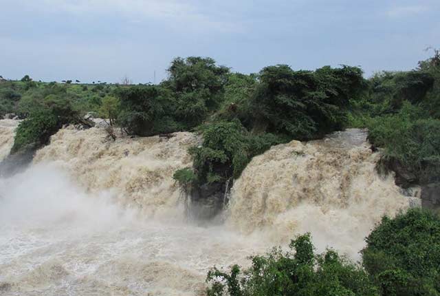
Sustainable water supply in Ethiopia
The Ethiopian Rift Valley is a semi-arid region of East Africa where scarcity of water supply poses a significant problem for local populations.
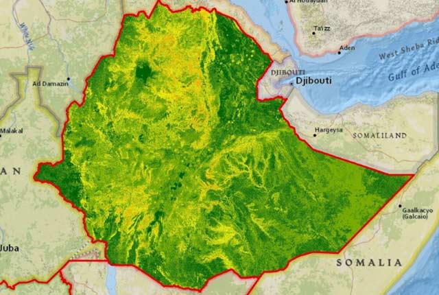
Earth observation and landslides research in Ethiopia
BGS scientists are collaborating with research partners to improve knowledge of landslide susceptibility in Ethiopia.
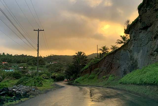
Pathways to Action: from risk communication to risk-reducing action in the Caribbean
The ‘Pathways to Action’ project aims to characterise flows of communication within and between communities to help reduce multi-hazard risk.
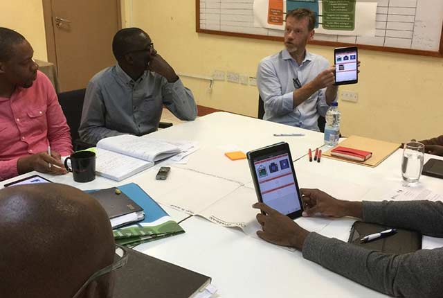
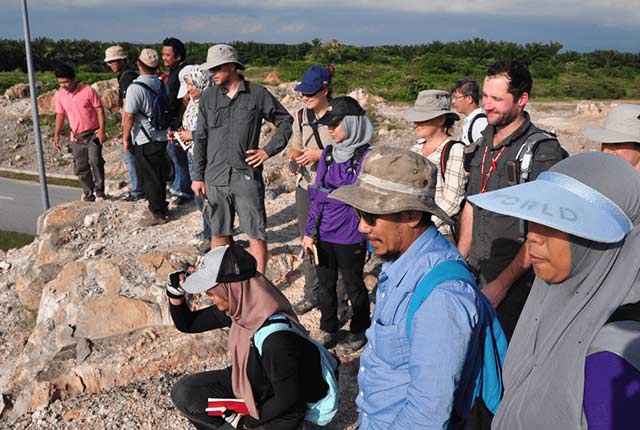
Enhancing multi-hazard resilience through citizen science in the Caribbean
We are working with partners to develop a citizen science app for collecting and sharing observations of natural hazards and impacts in near real-time.
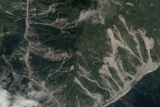
Geophysical technologies for landslide monitoring and early warning in India
We are developing geophysical monitoring systems that can be used to study hydraulic processes inside unstable slopes to identify and and give early warning of landslide events.
Groundwater challenges in India and Pakistan
We are reconstructing a century of groundwater level records in order to understand the long-term behaviour of groundwater in north-west India and Punjab in Eastern Pakistan.
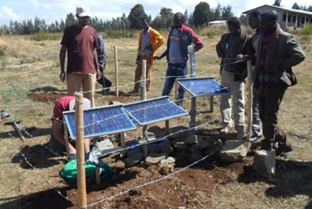
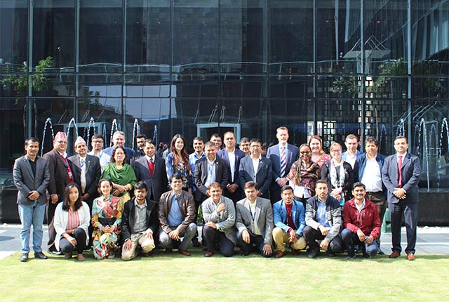
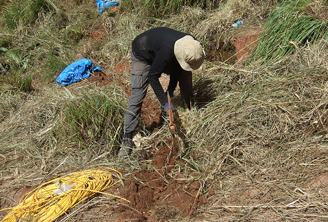
Seismic data acquisition in Ethiopia
Our work in Ethiopia to improve understanding of the seismic situation in order to characterise hazard and risk.
Geohazard risk in the East African Rift
The East African Rift (EAR) is a unique natural laboratory because a wide range of dynamic geological processes, such as rifting, magmatic intrusions and different types of volcanic eruptions, can be directly observed and studied.
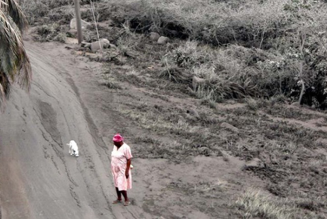
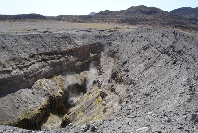
Supporting volcano-related disaster risk reduction worldwide
The BGS Volcanology group are supporting a variety of projects under the ODA programme that are building partnerships, sharing knowledge, and enhancing our understanding of hazards and risks.
Contact the team
You may also be interested in
International geoscience
BGS is active across the globe delivering institutional strengthening programmes and applied research projects across a wide variety of sectors.
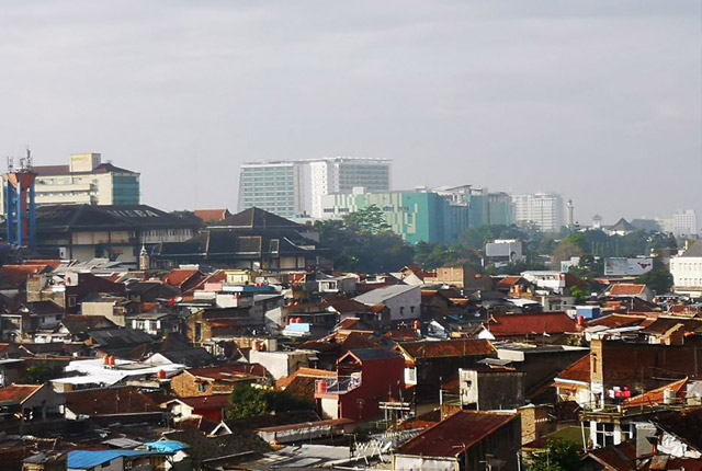
Resilience of Asian cities
Our research aims to improve city resilience by integrating geology into urban subsurface planning and urban-catchment science in India and south-east Asia
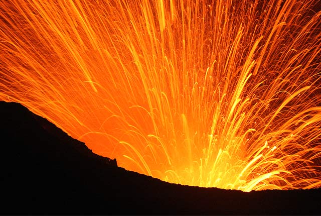
Volcanology
Our scientists lead research projects and work in partnerships around the world to improve our understanding of volcanic processes, hazards and risks.
Disaster response
BGS Geodesy and Earth Observation provides satellite imagery and expertise that is used to determine the effects of disaster events.
Seismic cities
Identifying communities that are particularly vulnerable to future earthquake hazards.