In 2008, for the first time in history, more than half of the world’s population lived in urban areas. The majority of this growth has been in low- to middle-income countries as people migrate out of low-density, rural environments to highly dense, urban centres.
The towns and cities of the developing world are expected to make up 80 per cent of urban humanity by 2030. This growing ‘densification’ of humanity increases the potential effects of natural hazards such as earthquakes.
We are working closely with the Global Earthquake Model Foundation to understand the seismic hazard and risk to urban centres around the world, so-called ‘seismic cities’. Our focus is on exploring the potential effects on cities from earthquakes on lesser known local faults that are often overlooked in national or global hazard assessments.
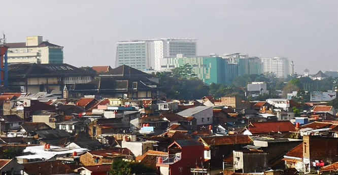

The growing density of people living in urban areas, often in poorly built homes, is increasing the risks of future earthquake shaking. Source: BGS © UKRI
Assessing vulnerability
Our main aim is to develop InSAR Earth observation techniques to detect and monitor ground motion that may be related to active faulting, along with seismic risk calculations to explore the losses to the city from potential earthquakes. The objective is to identify communities that are particularly vulnerable to future earthquake hazards.
Initial assessments in these cities show there is potentially large vulnerability to local, smaller earthquakes than more common, but often larger, earthquakes further away.
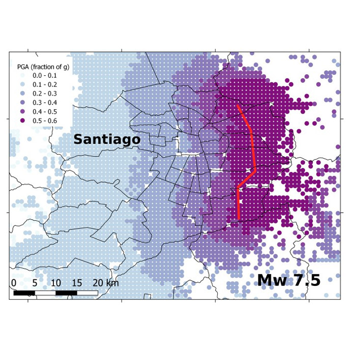
Predicted ground shaking from a magnitude 7.5 earthquake on the recently recognised San Ramón fault (red) on the eastern border of Santiago, the capital of Chile. Source: BGS © UKRI
Project funding and partners
The initial scoping project in Santiago, Chile, was funded by NERC as part of its Global Challenges Research Fund (GCRF). We have now also expanded the seismic cities concept to Bandung, Indonesia, thanks to funding from the British Academy and the Global Geological Risk Research Platform of the British Geological Survey NC-ODA grant NE/R000069/1: Geoscience for Sustainable Futures. We are also now working with partners in Bishkek, Kyrgyzstan, thanks to funding from the Royal Society.
From the onset, the projects have been partnerships between researchers and stakeholders and across disciplines from psychology, crowd science and geophysics. Our partners have included in particular CIGIDEN in Chile, the Bandung Institute of Technology (ITB) and the Institute of Seismology in Bishkek, alongside governments, resilience officers, universities and local communities.
Science through art
A novel and rewarding approach in the Santiago and Bandung projects has been the use of art as a medium to explore the human and social experience of earthquakes.
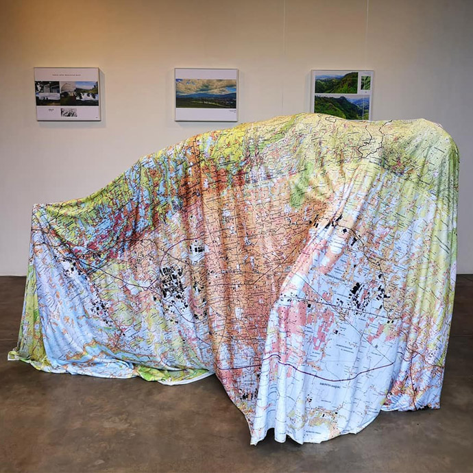
A sculpture created by a local artist in Bandung, which explores the relationship between people, topography and earthquake faults. Source: BGS © UKRI
You may also be interested in
How do earthquakes affect people?
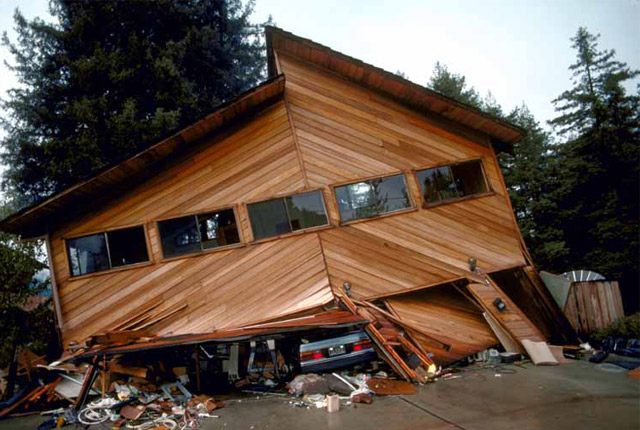
The extent of damage an earthquake causes depends not only on the magnitude of the earthquake, but also on local geology and on building techniques.
Geodesy and Earth observation
Developing and using innovative Earth observation techniques to characterise and monitor Earth processes that affect lives and livelihoods.