International disasters, such as earthquakes, floods, landslides, tsunamis and volcanic eruptions, can result in significant disruption, lives lost and damage to property. BGS Geodesy and Earth Observation provides satellite imagery and expertise that is used to determine the effects of these events. It is particularly useful in remote, hard-to-access communities. We work with fellow scientists to help provide advice on how the situation will unfold, for example future hazard levels.
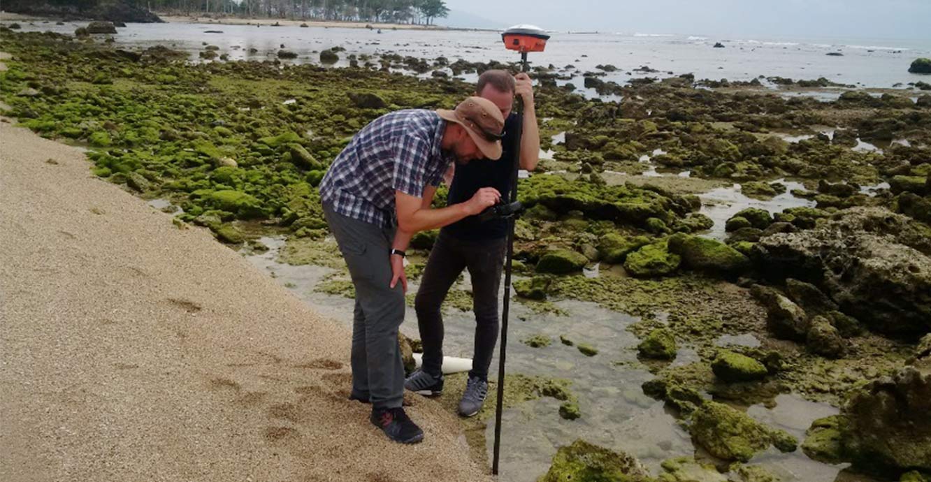

BGS Geodesy and Earth Observation team members surveying in West Java after the Anak Krakatau tsunami. This survey was supported by the Global Geological Risk Platform of the British Geological Survey NC-ODA grant NE/R000069/1: Geoscience for Sustainable Futures. Source: BGS © UKRI
We respond to events on behalf of various UK Government departments, such as the Foreign & Commonwealth Office & Development Office and the Cabinet Office, providing direct advice to the Scientific Advisory Group for Emergencies (SAGE) and the Civil Contingencies Committee (or COBRA). We are also called in by international organisations such as the United Nations Rapid Mapping Service (UNOSAT) when they require expert hazard information.
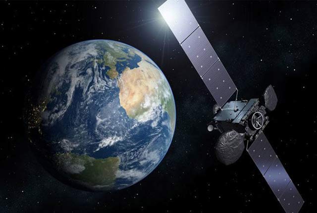
We often acquire the satellite imagery through the International Charter for Space and Major Disasters, where BGS has been a trained project manager tasked with providing maps and advice to groups such as governments, civil protection agencies and disaster relief organisations since 2008. The images are processed and interpreted at BGS.
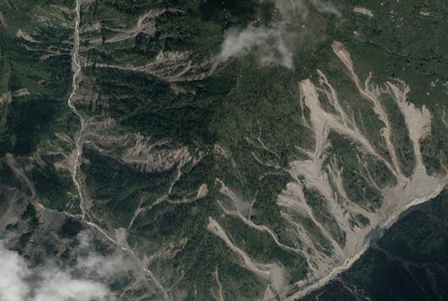
Pleiades satellite image illustrating two valleys heavily affected by landslides in Nepal 2016. Pleiades © CNES 2015 via Intl Charter.
Staff from the team also undertake fieldwork in locations that have only just been affected by disasters to help provide urgent, expert advice on multi-hazards. We work closely with partners and organisations on the ground and have provided geoscience training to counterparts to help build resilience to future events.
Where possible, all of our disaster situation maps are published on the charter website, on humanitarian webpages and our own webpages. We have also published papers on satellite-based emergency mapping as well as conference presentations on disaster relief and risk management from the Caribbean to Nepal. Our disaster response efforts are supported by funding streams such as NERC Urgency Grants, the Global Geological Risk Platform of the British Geological Survey NC-ODA grant NE/R000069/1: Geoscience for Sustainable Futures, and BGS National Capability funds.
Events we have responded to include:
- Japan: Tohoku tsunami (2011)
- Pakistan: earthquake and landslides (2015)
- Nepal: Gorkha earthquake and landslides (2016)
- Ecuador: earthquake and landslides (2016)
- Sierra Leone: Freetown landslide (2017)
- Philippines: Typhoon Mangkhut (2018)
- Anak Krakatau: tsumani (2018)
- Mozambique and Zimbabwe: Cyclode Idai (2019)
You may also be interested in
Geodesy and Earth observation
Developing and using innovative Earth observation techniques to characterise and monitor Earth processes that affect lives and livelihoods.
Seismic cities
Identifying communities that are particularly vulnerable to future earthquake hazards.