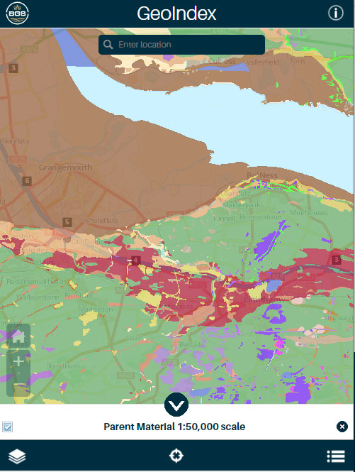
BGS GeoIndex is a web tool for professional users who need to access BGS data as part of their business requirements. The map viewer is free to use and is designed to work on desktop and mobile devices.
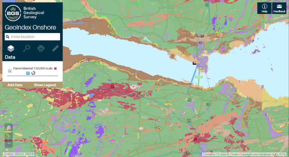
GeoIndex (onshore) web browser showing parent material. Contains OS data © Crown Copyright and database right 2020.
Users can search BGS datasets and navigate the map-based index which holds a wealth of information that we have collected or have obtained from other sources.
Data held within the GeoIndex
- Borehole records – zoom in to see the data
- Earthquakes data
- 1: 50 000 scale geology (including faults) – zoom in to see the data
- Interactive 3D models (London, Cardiff, Glasgow and Liverpool)
There is also a wide array of other data layers available, including rock samples, photography, data products, hazard maps, geochemistry samples and non-coal mining plans. The full list of data layers can be access by selecting ‘add data’ from the tool bar.
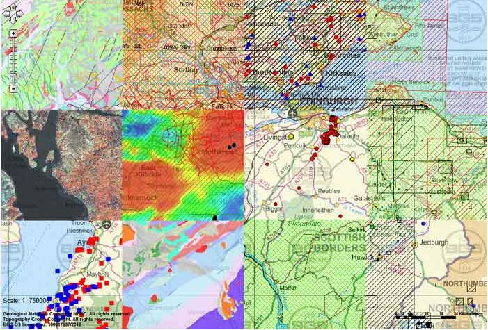
Patchwork of a section of GeoIndex in Scotland showing the different layers you can view. Contains OS data © Crown Copyright and database right 2020.
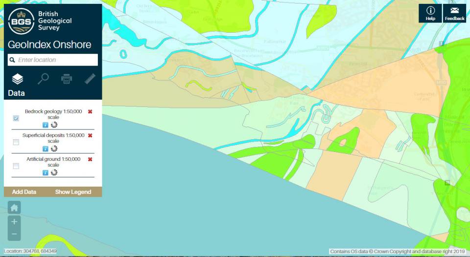
GeoIndex (onshore) web browser showing bedrock geology. Contains OS data © Crown Copyright and database right 2020.
GeoIndex functionality
With GeoIndex, you can:
- navigate to your area of interest
- view and query datasets
- produce PDF reports
- clip and download data for your area
- enquire about data you have discovered
Further instructions can be found in the application help menu.
Web map services WMS
GeoIndex datasets are also available via web map services (WMS).
Other BGS map viewers
There is a BGS GeoIndex (offshore) sister viewer available for marine geoscience data and we also maintain a lightweight BGS Geology Viewer, which is aimed at the general public and displays bedrock and superficial deposit data.
Terms of use
These data are delivered under the terms of the Open Government Licence, subject to the following acknowledgement accompanying the reproduced BGS materials: “Contains British Geological Survey materials © UKRI [year]”. Contact us (digitaldata@bgs.ac.uk) if you create something new and innovative that could benefit others.
We encourage users to use OpenGeoscience material with their own data. The BGS provides no warranty as to the quality, accuracy or completeness of this free map data or the medium on which it is supplied. This includes any warranty as to the continued provision of material or that the material taken from this site is compatible with your computer system and/or any other data with which the material is to be used.
View the onshore GeoIndex
You may also be interested in
Map viewers
Data published through map viewers allowing you to reveal more about the ground beneath your feet.
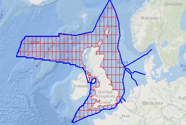
GeoIndex (offshore)
The offshore GeoIndex shows the range of marine geoscience data held by the BGS within the National Geoscience Data Centre (NGDC).
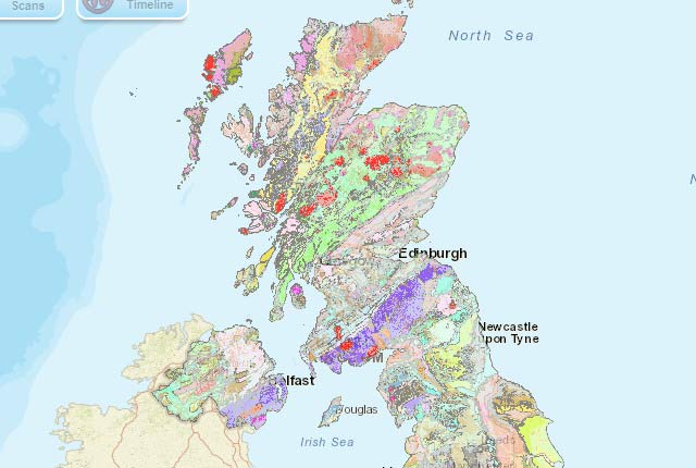
Geology of Britain viewer
The Geology of Britain viewer is a simple tool, aimed at the general public, which helps you explore the geology where you live.


