Data search
BGS is a data-rich organisation with over 400 datasets in its care.
Datasets
GeoClimate Shrink–Swell
GeoClimate clay shrink-swell provides information on the projected future change in susceptibility of clay shrink–swell across Great Britain due to climate change.

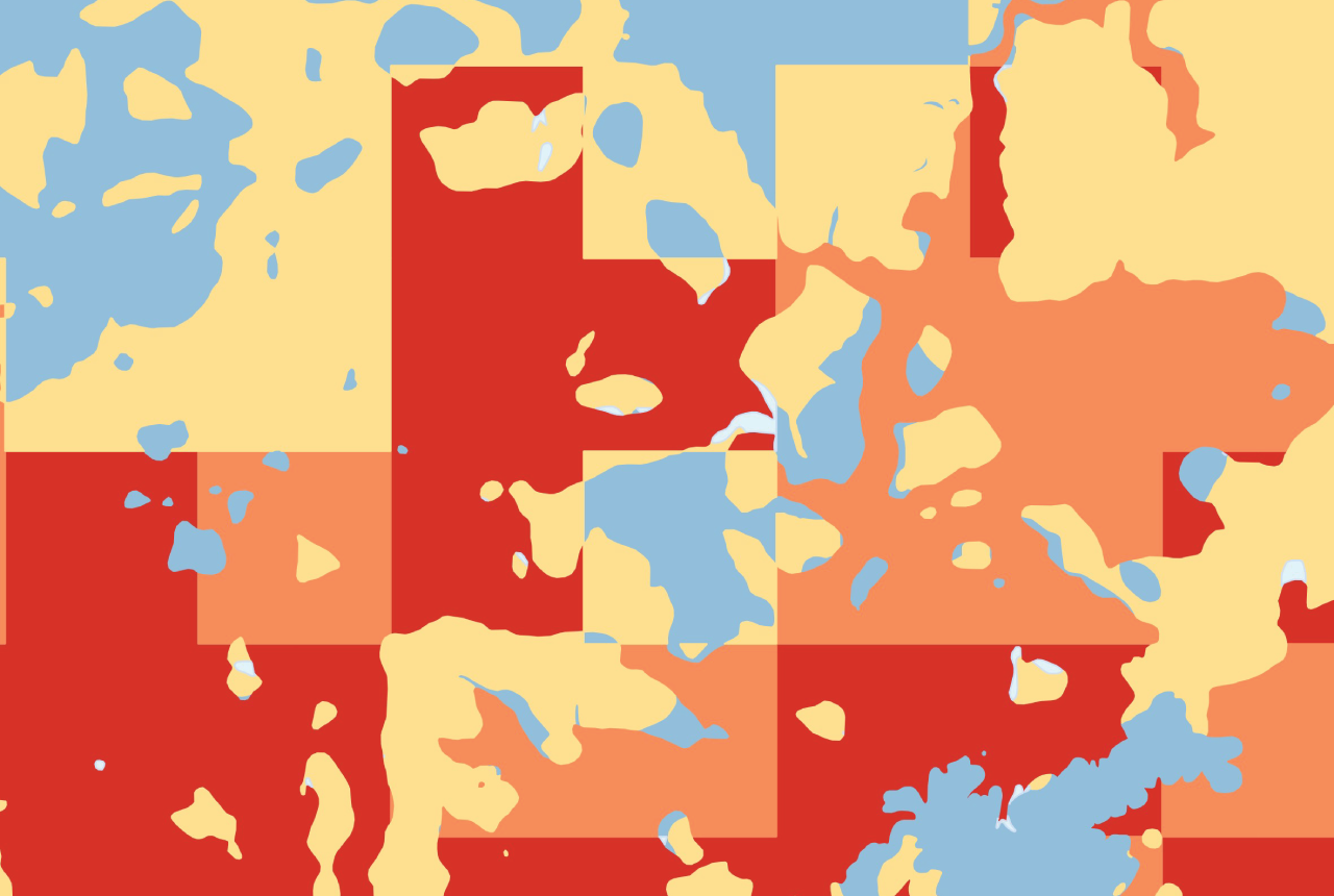
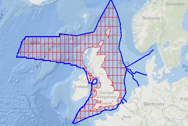
Offshore Quaternary 250K
The 1:250 000-scale offshore geological map for quaternary geology (BGS Geology: marine quaternary 250k) is available digitally.

Seabed sediments 250K
This offshore Quaternary geology dataset shows the distribution of interpreted lithostratigraphical units within the shallow subsurface. The dataset represents the Quaternary geology immediately beneath the active seabed sediment layer.

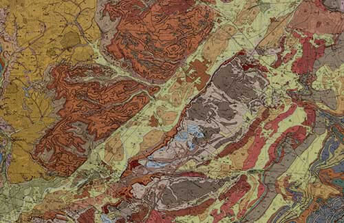
Offshore bedrock 250K
The BGS Offshore Bedrock 250k dataset depicts the distribution of the different types of bedrock on the UK Continental Shelf.
Map Viewers
Other viewers
We have a wide variety of map viewers available to general public that allow you to access our geological data online.
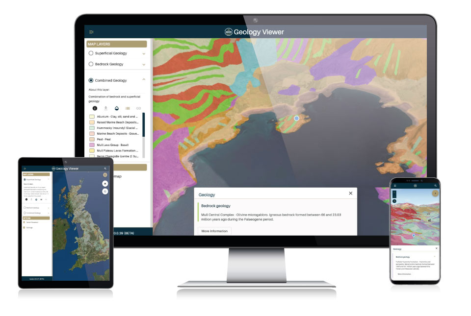
BGS Geology Viewer
The BGS Geology Viewer has been designed to provide geology enthusiasts and the general public with bedrock and superficial geology maps of Great Britain.
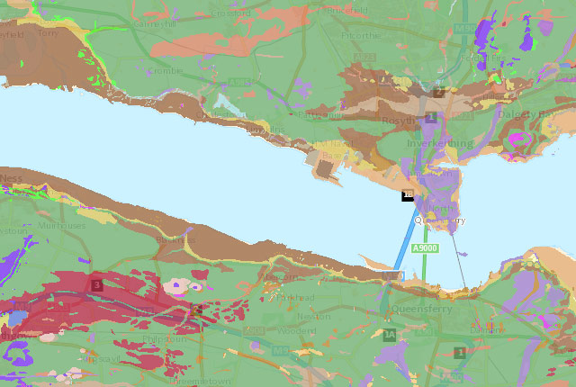
GeoIndex (onshore)
Search BGS datasets using GeoIndex, a map-based index of a wealth of information that we have collected or have obtained from other sources.
GeoIndex (offshore)
The offshore GeoIndex shows the range of marine geoscience data held by the BGS within the National Geoscience Data Centre (NGDC).
Information Hub
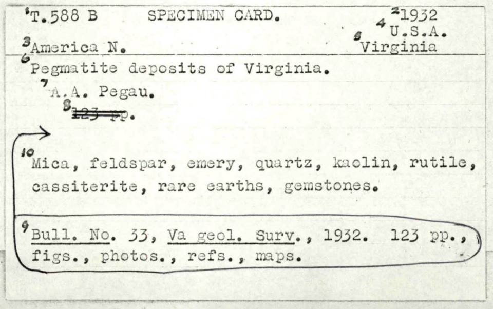
BGS Mineral Index card catalogue
The BGS Mineral Index is card catalogue of mineral intelligence references covering the years 1917–1980.

Vocabularies web service
The vocabulary service has been implemented as a RESTful web service delivering lists of standardised terms covering a range of geoscience topics.
Vocabularies
BGS geoscience vocabularies provide consistency in our classification systems by controlling the spelling and terms used in our data holdings.
Technologies
AquiMod download form
Download Aquimod 2
AquiMod 2 download form
Download Aquimod 2

Application programming interfaces (APIs)
A standard software interface offering data access or data processing services between computers or computer programs.

Coordinate converter
Convert British National Grid to latitude and longitude (WGS84) via online form, web service or bulk conversion.