As part of our continued commitment to putting more information out for open access, the BGS has released a number of its scanned collections on OpenGeoscience. These include over one million borehole log scans and images of our small- and medium-scale maps.
Terms of use
Data assets are delivered under the Open Government Licence, subject to the following acknowledgement accompanying the reproduced BGS materials: “Contains British Geological Survey materials © UKRI [year]“.
Irish historical geological maps are delivered free for non-commercial use; use this material for private study, research and educational activities. See individual websites for specific terms and conditions.
Browse our scanned records

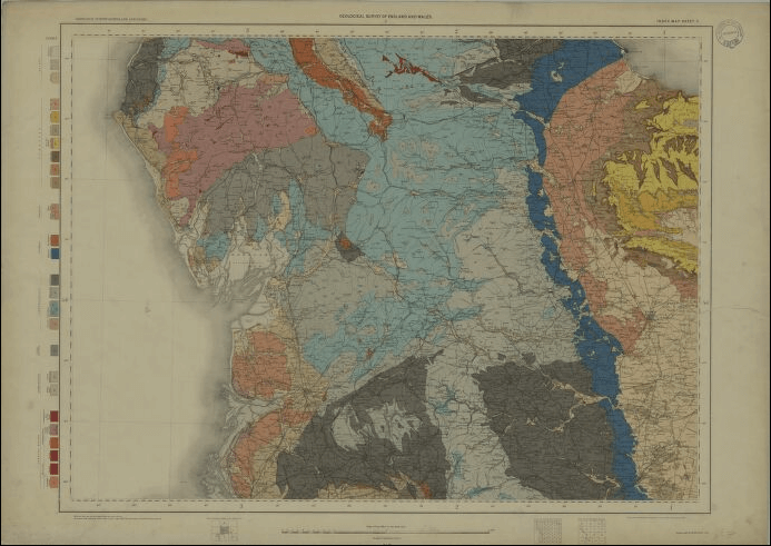
BGS maps portal
High-resolution viewing of images of almost all the small- and medium-scale geological maps produced by the BGS since mapping started in 1832.
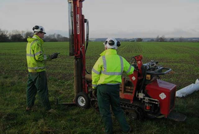
Geoindex boreholes
The BGS Geoindex borehole layer, offers direct, online access to the National Geoscience Data Centre collection of onshore scanned boreholes, shafts and well records.
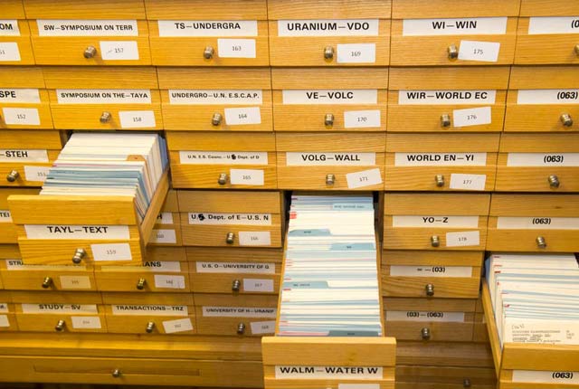
Library services: online card catalogue
The card catalogue records items added to the BGS Library service from 1970 to the mid 1980s, when the computerised catalogue ENVIROLIB began
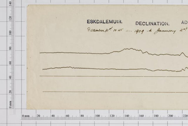
Magnetograms
BGS scanned collection of historical magnetograms – original recordings of the variations in the strength and direction of the Earth’s magnetic field.
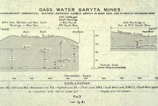
Mine plans
A range of mine plans from a variety of sources including the Mining Remediation Authority mine plans, published mine plans and plans of mine workings.
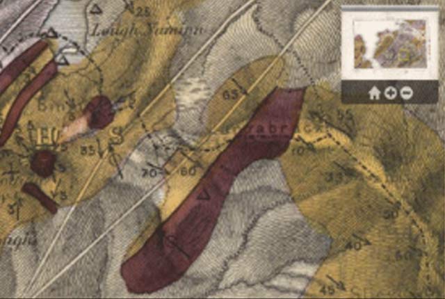
Irish historical geological maps
A range of historical geological maps, sections and memoirs of Ireland, mostly 19th century.
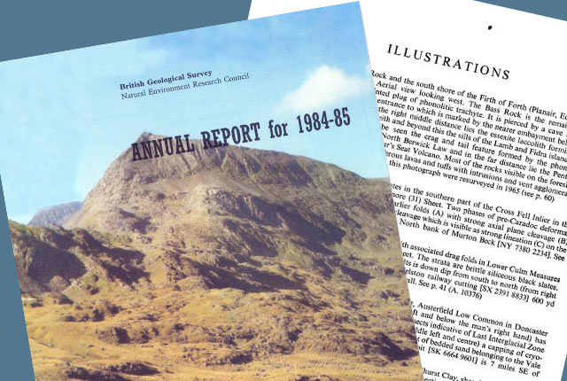
Publications viewer
Access to formal BGS print publications and the recent Research Reports/Open Reports series.
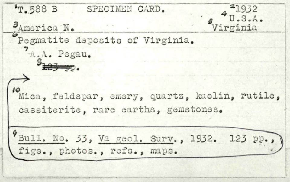
BGS Mineral Index card catalogue
The BGS Mineral Index is card catalogue of mineral intelligence references covering the years 1917–1980.
You may also be interested in
Data collections
Scans, photos and publications that are stored and managed by the BGS
Information hub
Data collections, publications, scanned records and other data gathered by BGS and provided by external organisations.