Data

The BGS is a data-rich organisation with thousands of datasets in its care, including environmental monitoring data, geotechnical data, digital databases, physical collections (borehole core, rocks, minerals and fossils), records and archives.
Please contact BGS Enquiries (enquiries@bgs.ac.uk) should you have a data enquiry.
Explore our data


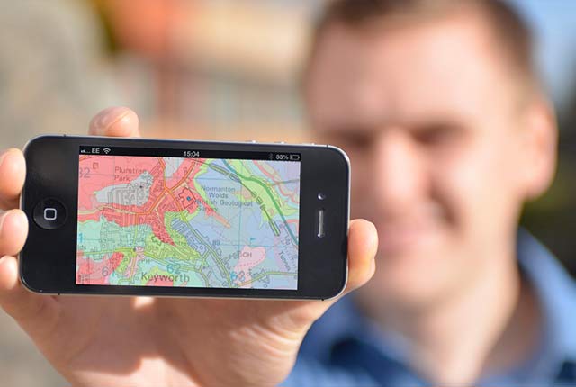
Map viewers
Data published through map viewers allowing you to reveal more about the ground beneath your feet.
Information hub
Data collections, publications, scanned records and other data gathered by BGS and provided by external organisations.

Technologies
Applications, software and online services created by the BGS and our collaborators.
Digital geoscience
The BGS is a data-rich organisation. Our data science and data infrastructure are fundamental to our future research and underpin our strategic challenges.
Digital data licensing and resellers
Providing a wide range of licences for the use and utilisation of our information products by for those interested in an information product and the Open Government Licence is not applicable.

National Geoscience Data Centre
Collecting and preserving geoscientific data, making it available to a wide range of users and communities.
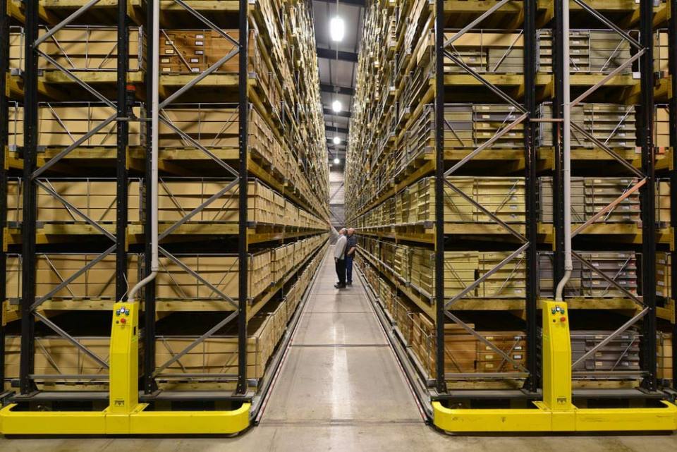
National Geological Repository
Hosting BGS’s collections of borehole cores, cuttings, samples, specimens, and related subsurface information from the UK landmass and continental shelf.
OpenGeoscience
Accessing maps and downloading data, scans, photos and other information via BGS’s free OpenGeoscience service.