We are actively working to promote greater understanding of the subsurface with the development of new data donation and access services, in conjunction with industry partners and the stakeholder community.
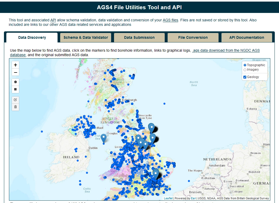

AGS Data Discovery using AGS File Utilities Service, showing data for Burton Upon Trent SWWM Appraisal BGS © UKRI
While mandates exist in some countries to enforce the delivery of such data to a national data centre, we have been working to develop a new approach in data donation, as well as increased data accessibility and web services, to enable increased re-use of subsurface data in the UK. The approach has been developed with the support of the Accessing Subsurface Knowledge (ASK) stakeholder network, engagement with industry partners, the AGS data standard community and learning from best practice in the wider European community through the EU COST SUB-URBAN Action.
This work supports the development of a new, national data store of standardised AGS data of the subsurface that can be consulted and accessed to support decision-making processes in industry and project planning.
AGS data
AGS data is the industry-standard exchange format for geotechnical data in the UK. The format provides a means of transferring geotechnical and geoenvironmental data between parties in a standard data exchange format (.ags). For more information, visit the official website for the Association of Geotechnical and Geoenvironmental Specialists to learn more about the AGS and technical details.
Data donation and access
We have released a UK data deposit application for subsurface data and information. This portal provides a platform for direct upload of data and a single entry point for re-access to national data. It has easy-to-use search interfaces for finding openly donated data using text, map-based or keyword search options.
The portal encourages both open data donation and compliance with industry standard formats (AGS), increasing the accessibility and re-use of data for the community as a whole. Complete AGS files or a single combined AGS data file can be downloaded using the search criteria.
The portal is part of our wider plan to increase the accessibility and re-use of subsurface data and information within the UK.
We collaborated with Keynetix to provide additional web service functionality so that the portal can be another possible donation route for AGS data from Keynetix’s latest Holebase SI software.
The freely available BGS Groundhog software enables users to consume, visualise and model AGS data for their own projects, along with data stored in the national data store, to generate geological cross-sections that can be exported to CAD and ultimately integrated into above- and below-ground project design models. This helps the community work towards implementing Level 2 Building Information Modelling (BIM), in line with the recommendations of the UK Government construction strategy.
Having a long-term, open-access, national data store paves the way for public and private sectors to adopt an open flow of geotechnical data to derive multiple cost benefits while also meeting government initiatives. This will lead to more successful outcomes and leave a lasting legacy.
This work has very much been driven forward by key public and private sector stakeholders, who have recognised the benefits generated by the free flow of geotechnical data. Some national stakeholders are using their power as a commissioning client to mandate the use of AGS (V3.1 GSPEC) in their major projects and the donation of data to the BGS as the national data store.
Although some organisations may still consider their geotechnical data a private asset and do not wish to share them, there are many more who understand that openly donating their data brings a raft of benefits. The most notable is building a national resource of quality, open, AGS or geotechnical data that can be consulted in the initial stages of a construction project, enabling the builders to have access to greater amounts of quality data to begin their planning, designing and management of the new project. This helps to addresses the risk of the unknowns, ultimately de-risking the project and saving costs for the industry.
Open data and the encouragement of compliance with the industry-standard format (AGS) reduces the burden on organisations to store data themselves, so less time is spent on searching for and managing data. Long-term preservation and access to the data is assured by a national data store.
We encourage the deposition of completed or final ground-investigation projects in AGS format (AGS3.1 or AGS4.0). Presently there are two terabytes of downloadable geoscience data available, including over 10 000 boreholes in AGS format.
We hope that, through the portal and data access services provided and the wide variety of community initiatives and engagement, the continued expansion of the national AGS data store will prove a strong basis to support and grow the industry, leading to new benefits for all users and partners.
If you have AGS files to submit you can now validate them.
Contact
You can start depositing or searching for data today or contact our National Geoscience Data Centre for more information.
AGS deposited data search
Free and open access to AGS geotechnical data held by the BGS.
AGS file utilities and API
Find AGS data held by the BGS, access our AGS data download service, validate your AGS files against the AGS Standard v4.x, and National Geoscience Data Centre (NGDC) data submission requirements. Also convert .ags to/from .xlsx.
Deposit AGS data
Deposit your AGS data with the National Geoscience Data Centre (NGDC).
AGS v3.x data checking
Check your AGS files before depositing them with the National Geoscience Data Centre (NGDC).
You may also be interested in

Technologies
Applications, software and online services created by the BGS and our collaborators.

Web services and APIs
More of our information is accessible through web services and linked data to encourage developers to use and innovate it within their own systems