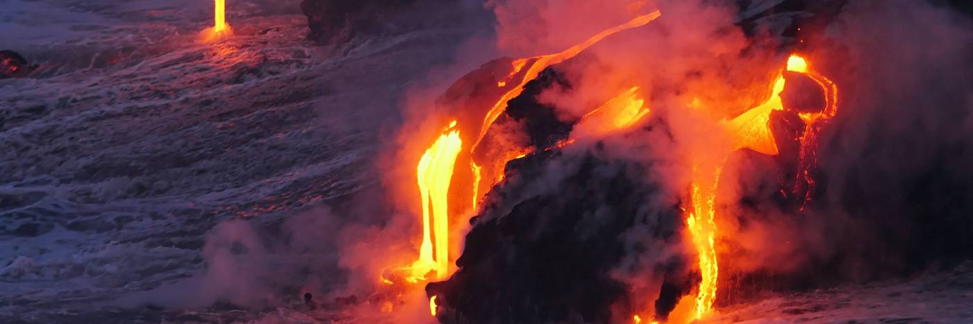
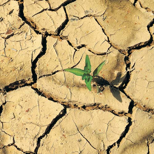
Natural hazardous processes have significant effects on economic growth, the built environment, lives and livelihoods. Risks and impacts of disasters are particularly severe in developing countries and are likely to be exacerbated by climate change.
Our work with partners worldwide to enhance understanding of hazards, exposure, vulnerability and risk will ensure our science is usable, useful and used.
- Single hazard characterisation: improving our monitoring, characterisation, analysis and modelling of single hazard processes, such as rockfalls or earthquakes
- Multi-hazard characterisation and cascades: improving our monitoring, characterisation, analysis and modelling of the relationships between hazards, such as those between earthquakes and landslides
- Impacts, vulnerability and exposure: characterising the potential impacts of a hazard or multi-hazards on populations, societies and their assets.
- Forecasting: supporting the management of risks by governments by rapidly harvesting and analysing near
real-time data to provide information about a hazardous or multi-hazardous event. - Hazard and risk communication: working with risk-affected communities, particularly internationally, and tailoring science to meet their needs, improving the understanding of societies at risk and effecting action or behavioural change.
- Event response: providing responsive services, products or advice to decision makers such as governments before, during and after hazardous events.
- Resilience and recovery: working with partners to reduce risks, support redevelopment and identify ways to use the reconstruction process to improve a community’s resilience following a hazardous event.
- Data acquisition: collecting and managing data from the monitoring of hazards or multi-hazard events, their processes and impacts.
- Uncertainty: underpinning effective decision making by gaining a sound understanding of uncertainty in natural-hazard risk assessment.
Find out more about our research
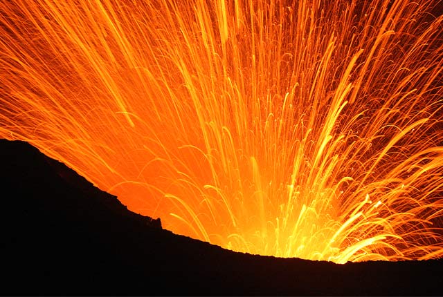
Volcanology
Our scientists lead research projects and work in partnerships around the world to improve our understanding of volcanic processes, hazards and risks.
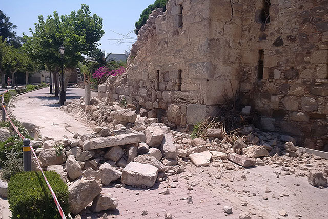
Earthquakes and seismology research
We are measuring, recording and analysing ground motions from earthquakes and other seismic events across the UK and overseas.

Geomagnetism
Measuring, recording and interpreting variations in the Earth’s magnetic field including those caused by space weather
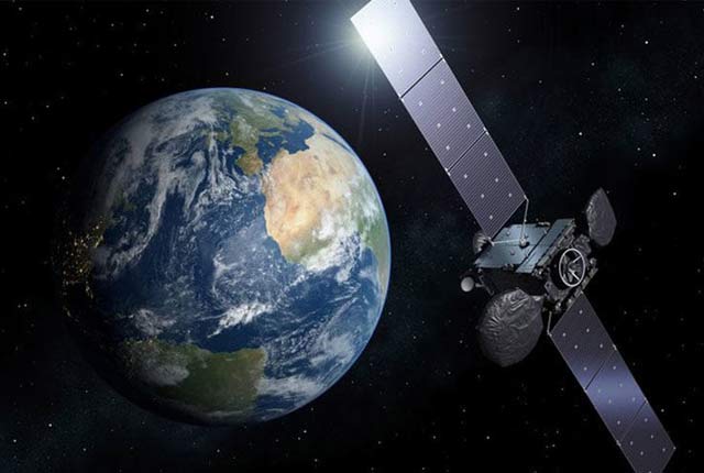
Geodesy and Earth observation
Developing and using innovative Earth observation techniques to characterise and monitor Earth processes that affect lives and livelihoods.
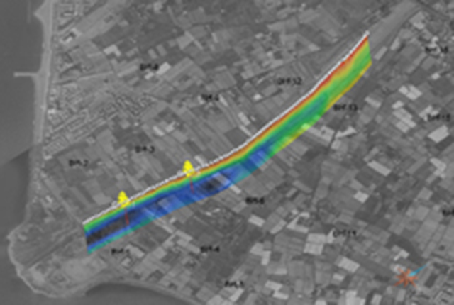
Shallow geophysics
Creating and using leading-edge technologies such as geophysical tomography to visualise the shallow subsurface.
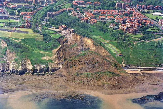
Landslides
Building resilience both in the UK and internationally to landslides and carrying out many aspects of landslide research.
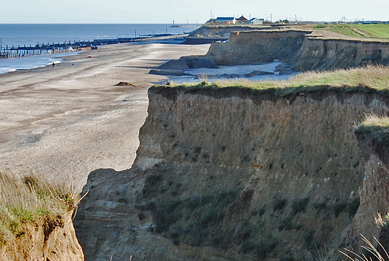
Coasts and estuaries geohazards
Providing independent and expert geoscientific tools and advice to assess different adaptation options to coastal flooding and erosion.
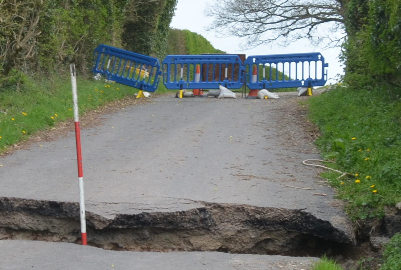
Shallow geohazards
Measuring, recording and analysing near-surface geological hazards including landslides, sinkholes and discontinuities.
Our facilities
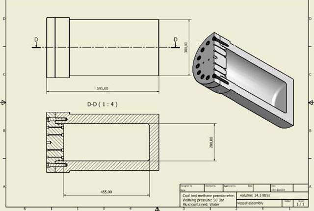
Engineering and Geotechnical Capability
Leading the development and application of field and laboratory infrastructure and long-term management of geophysical and geotechnical property data.
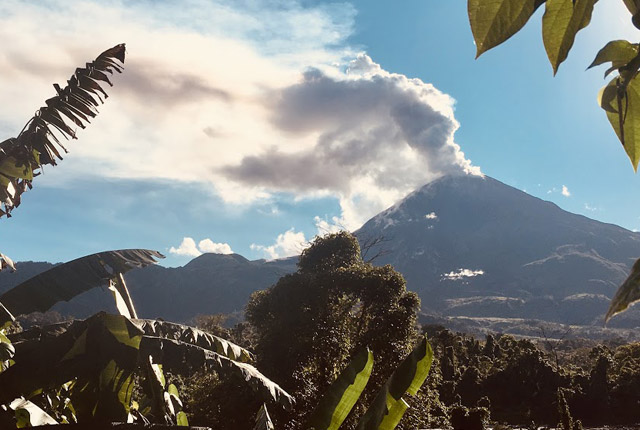
Centre for the Observation and Modelling of Earthquakes, volcanoes and Tectonics (COMET)
Analysing satellite measurements alongside ground-based observations and geophysical models to study earthquakes and volcanoes.
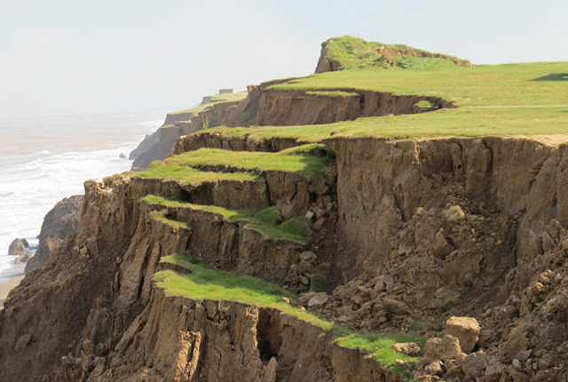
Aldbrough Coastal Landslide Observatory
Monitoring and modelling landslide activity at BGS’s coastal landslide observatory at Aldbrough, on the East Riding of Yorkshire coast.
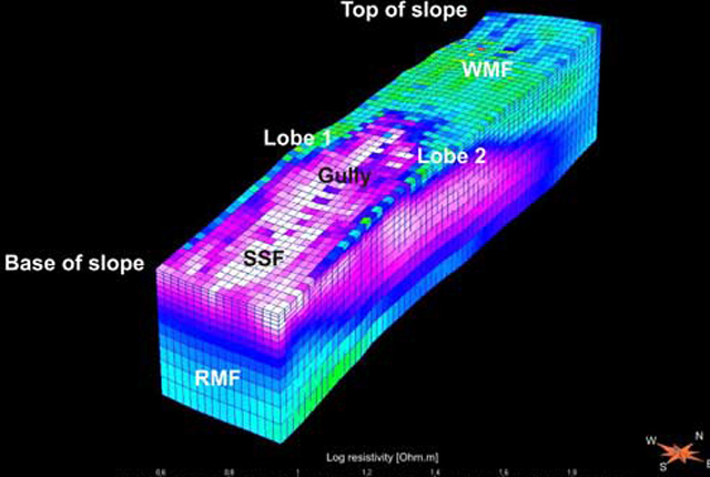
Hollin Hill Landslide Observatory
Accurately monitoring and eventually predicting landslide movement through scientific research.
Our core challenge areas
Need more information?
Related news
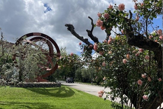
AI and Earth observation: BGS visits the European Space Agency
02/07/2025
The newest artificial intelligence for earth science: how ESA and NASA are using AI to understand our planet.
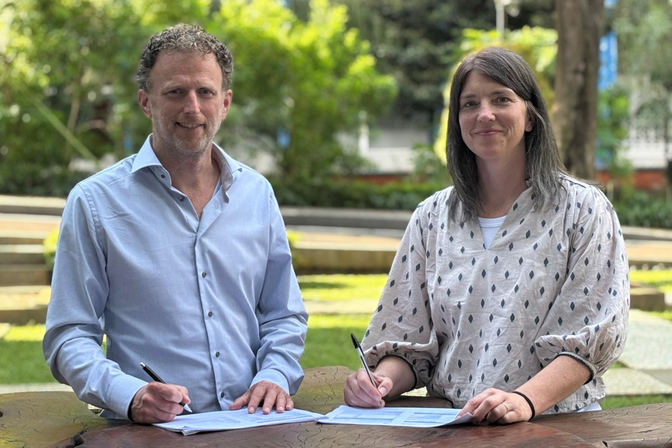
New collaboration aims to improve availability of real-time hazard impact data
19/06/2025
BGS has signed a memorandum of understanding with FloodTags to collaborate on the use of large language models to improve real-time monitoring of geological hazards and their impacts.
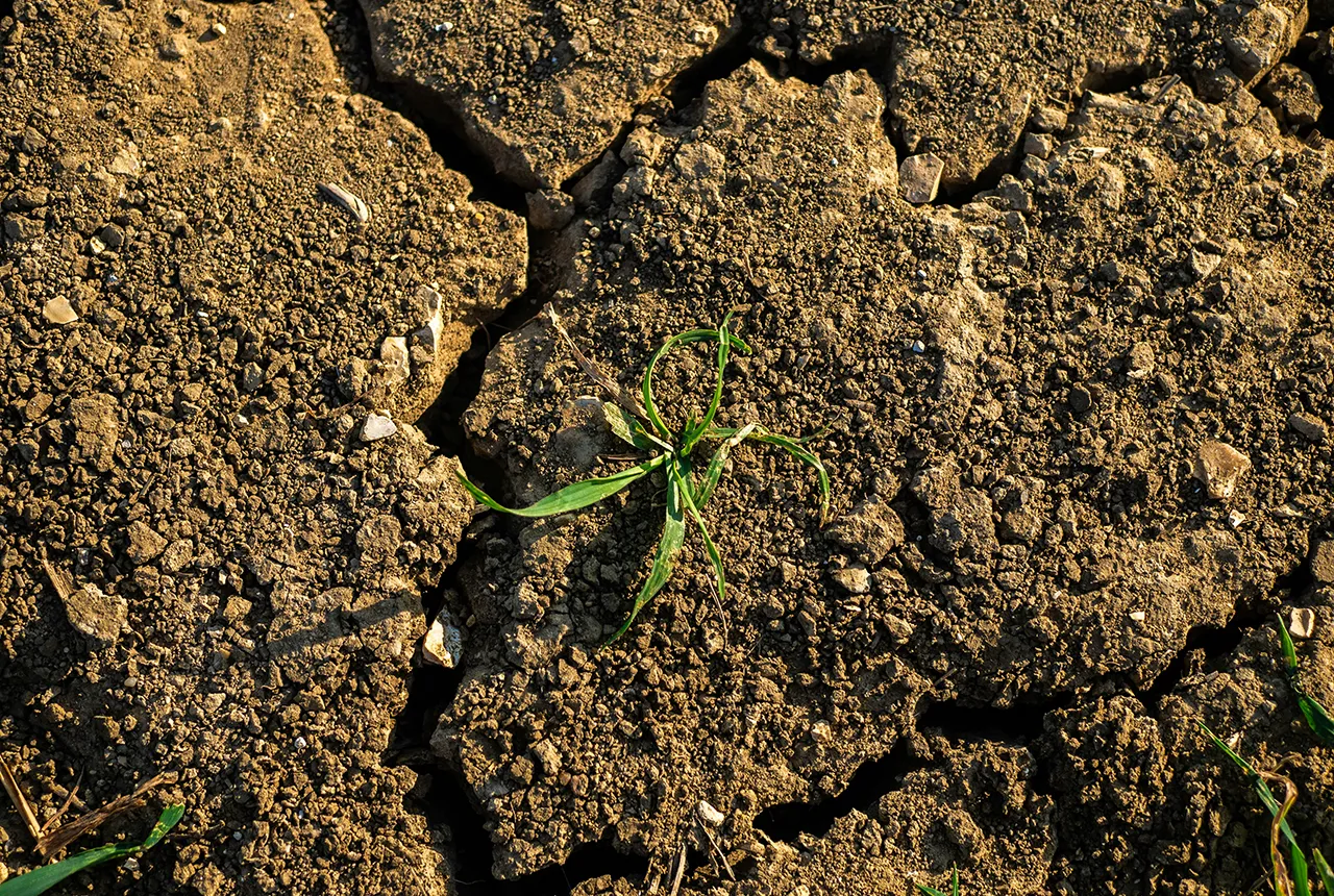
What is the impact of drought on temperate soils?
22/05/2025
A new BGS review pulls together key information on the impact of drought on temperate soils and the further research needed to fully understand it.
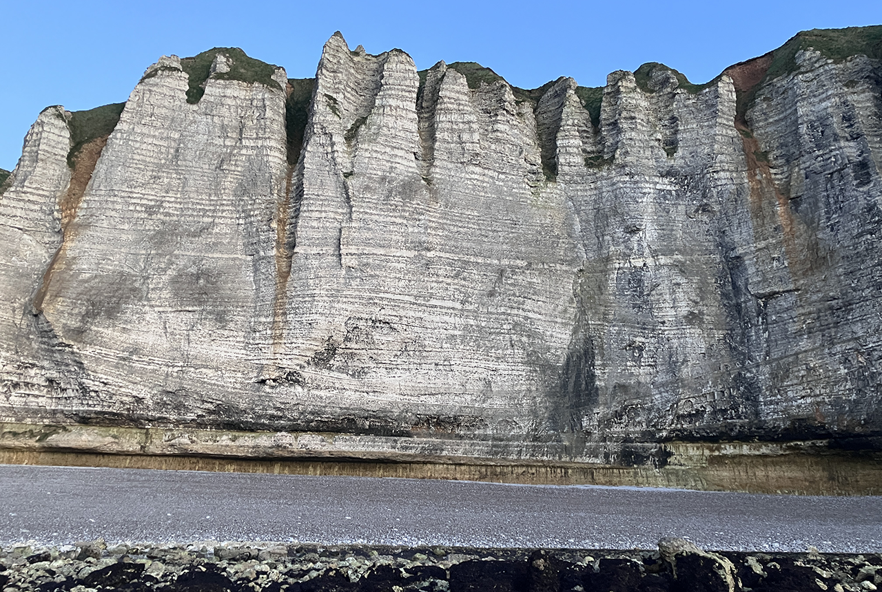
Geology sans frontières
24/04/2025
Geology doesn’t stop at international borders, so BGS is working with neighbouring geological surveys and research institutes to solve common problems with the geology they share.
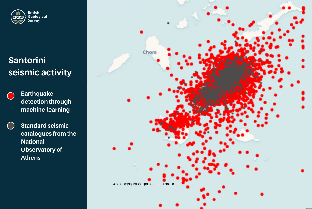
Artificial intelligence is proving a game changer in tracking the Santorini earthquake swarm
07/02/2025
Scientists are harnessing the power of machine learning to help residents and tourists by detecting thousands of seismic events.
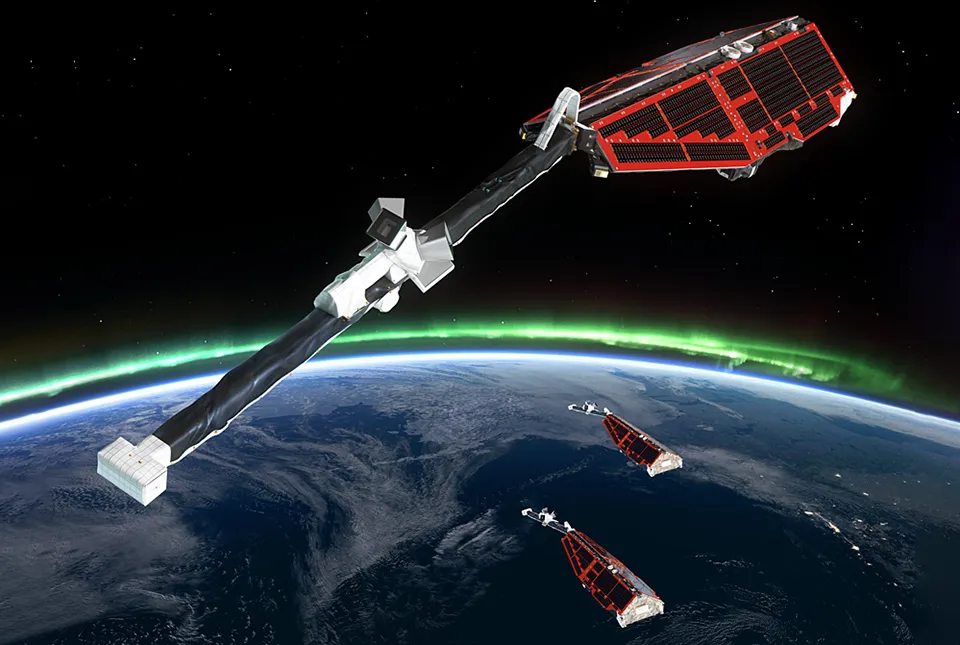
New global space weather hazard index launched
17/01/2025
The new index provides a near-real time, global picture of geomagnetic variations helping to highlight the effects of space weather.
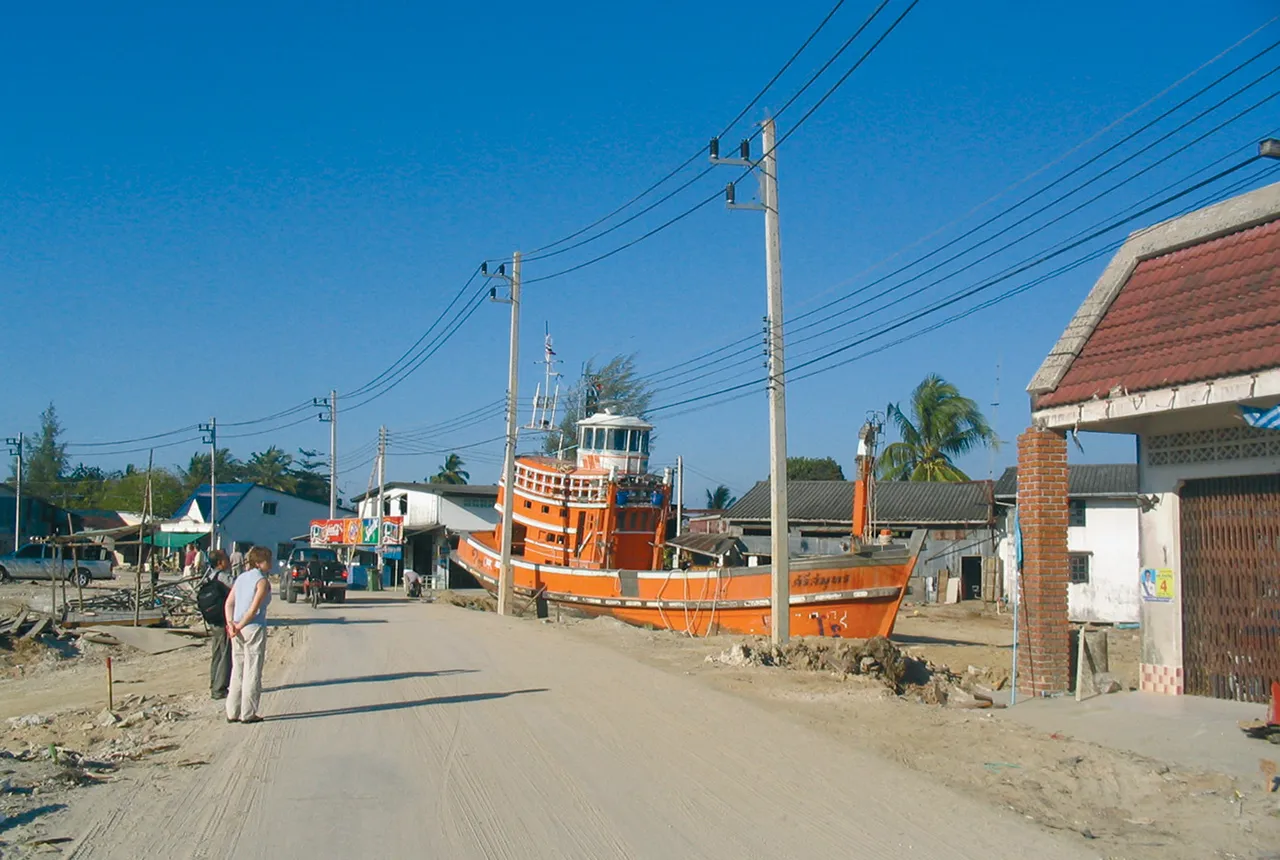
Twenty years on: the Indian Ocean earthquake and tsunami
26/12/2024
Boxing Day 2024 marks 20 years since the Indian Ocean earthquake and tsunami. Prof David Tappin reflects on the disaster and discusses what we have learnt since 2004.
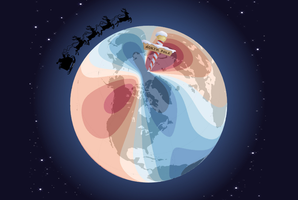
Airlines, shipping companies and sleigh drivers rush to update crucial navigation systems ahead of Christmas rush
17/12/2024
Release of major upgrade to a new model tracking magnetic north prompts global reset of satellite tracking systems across trade and passenger transport routes.
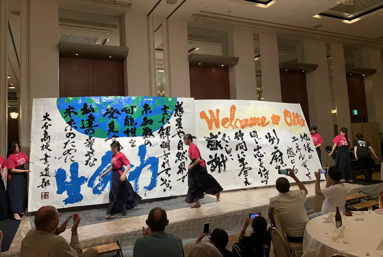
Electromagnetic geophysics in Japan: a conference experience
23/10/2024
Juliane Huebert took in the fascinating sights of Beppu, Japan, while at a geophysics conference that uses electromagnetic fields to look deep into the Earth and beyond.
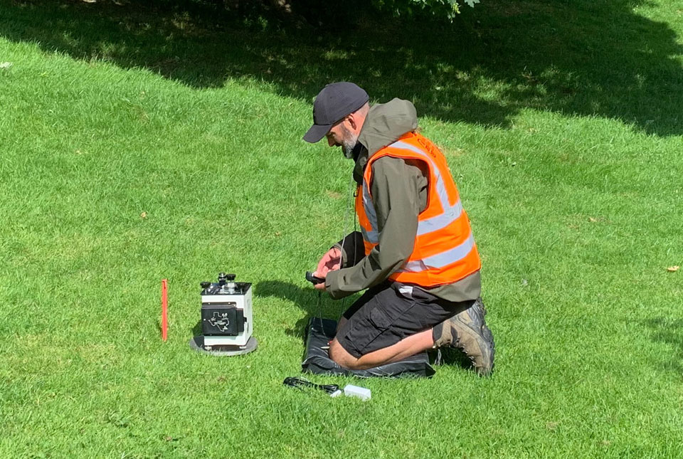
New research hub announced as part of £160 million investment
08/10/2024
Focusing on quantum sensing, imaging and timing, the hub will be launched at the end of this year as part of an investment announced by the Science Secretary.
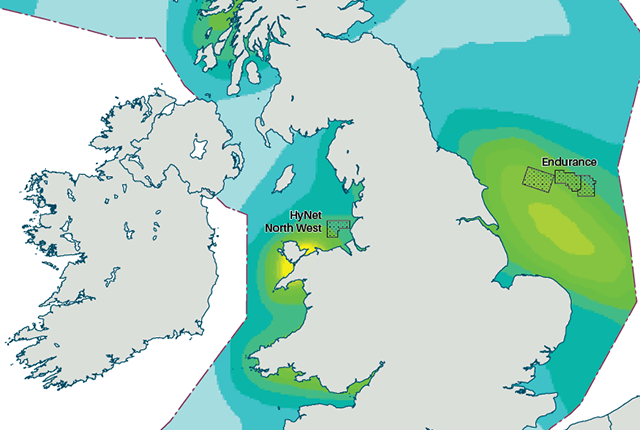
New hazard maps set to help safeguard UK offshore energy industry
12/09/2024
Essential geological model detailing seismic hazard published as the pursuit of new renewable energy infrastructure intensifies.
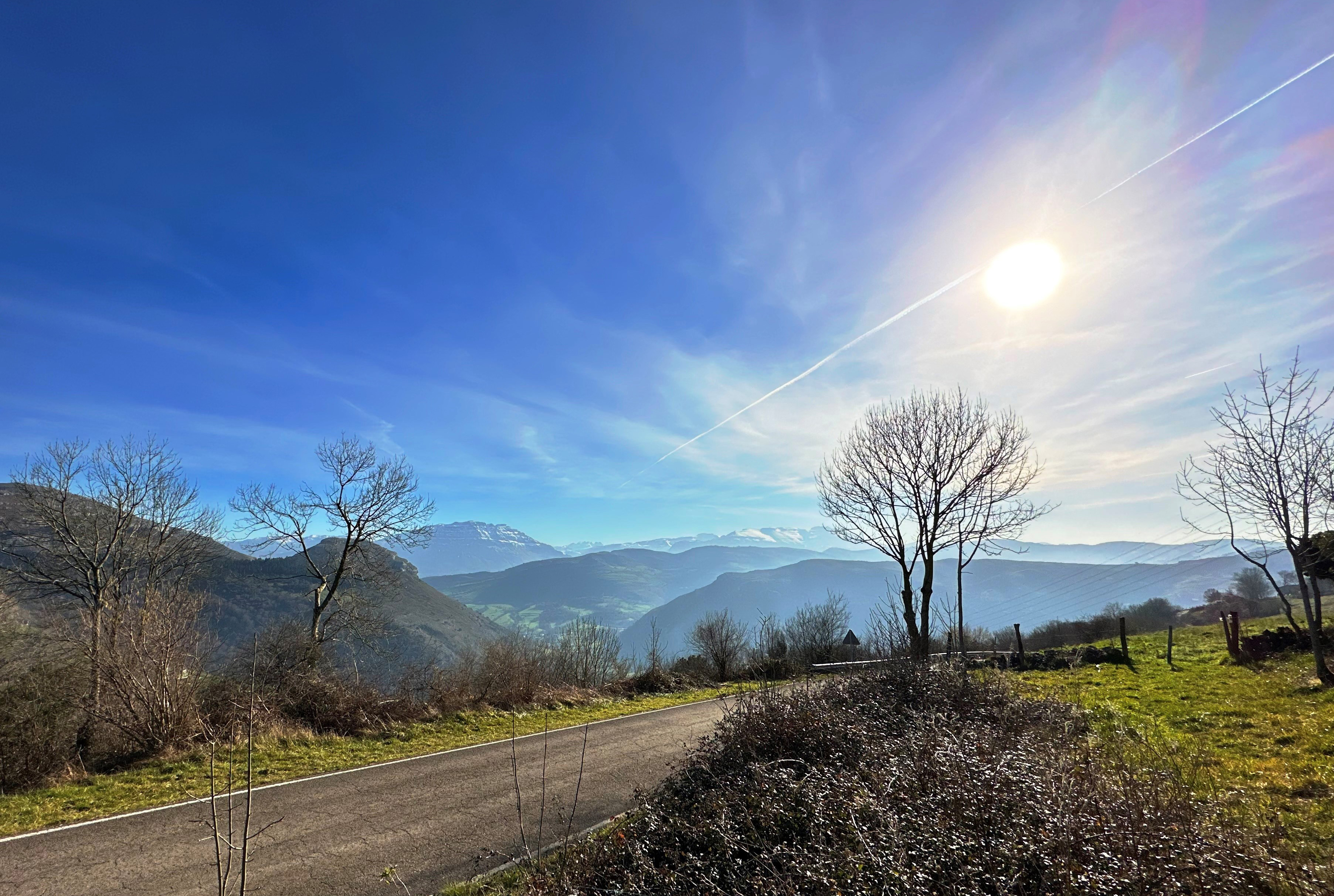
Extracting formation temperatures from stalagmites
14/08/2024
BGS’s Andrew Smith explores the karstic depressions of northern Spain in the quest to create a palaeothermometer.


