

New hazard maps set to help safeguard UK offshore energy industry
Essential geological model detailing seismic hazard published as the pursuit of new renewable energy infrastructure intensifies.
12/09/2024 By BGS Press

Enhanced mapping of the UK’s Exclusive Economic Zone (EEZ) is being made available to the public for the first time, providing greater insight into the occurrence of earthquake hazard across an area of seabed that the country holds exclusive rights to, including those for energy production.
The updated modelling from BGS comes at a time when the UK is seeking to bolster its offshore renewable energy infrastructure and meet its net zero commitments.

These maps are the first new UK offshore seismic hazard maps for more than 20 years. Methodological and computational advances mean that we are able to better understand which areas hold the potential to be heavily impacted by seismic activity and how to model the uncertainty (what is still unknown or uncertain).
Offshore critical infrastructure, including windfarms and carbon capture and storage, are both essential for the transition to net zero, but it is also vital that we know what the hazard is so that high consequence structures can be designed appropriately to reduce risks to people and the environment.
Dr Ilaria Mosca, earthquake hazard researcher, BGS.
Earthquakes in the UK
The UK experiences between 200 to 300 earthquakes annually, with the largest earthquake ever recorded being a 6.1 magnitude earthquake that occurred in 1931 in the Dogger Bank area of the North Sea, about 100 km from the east coast of England. More recently, in 2022, a 5.2 magnitude earthquake in the northern part of the North Sea shut down operations at an offshore oil platform without causing significant damage.
The North Sea and the Irish Sea have a strategic role in supporting the UK’s decarbonisation and net zero carbon ambitions due to the increasing number of licensed carbon capture and storage (CCS) sites located there. The presence of historic seismicity near these offshore CCS sites emphasises the importance of robust estimates of the potential earthquake hazard to underpin the planning and design of this critical offshore infrastructure.
The seismic hazard maps
The seismic hazard shown in the maps is computed using a model that consists of two parts: one that characterises earthquake occurrence (where they occur and their frequency of occurrence) and another that describes the ground shaking that may result from potential future earthquakes. The model is based on historical and instrumental observations of earthquakes and their effects, and information and data relating to the tectonics and geology of the region under investigation.
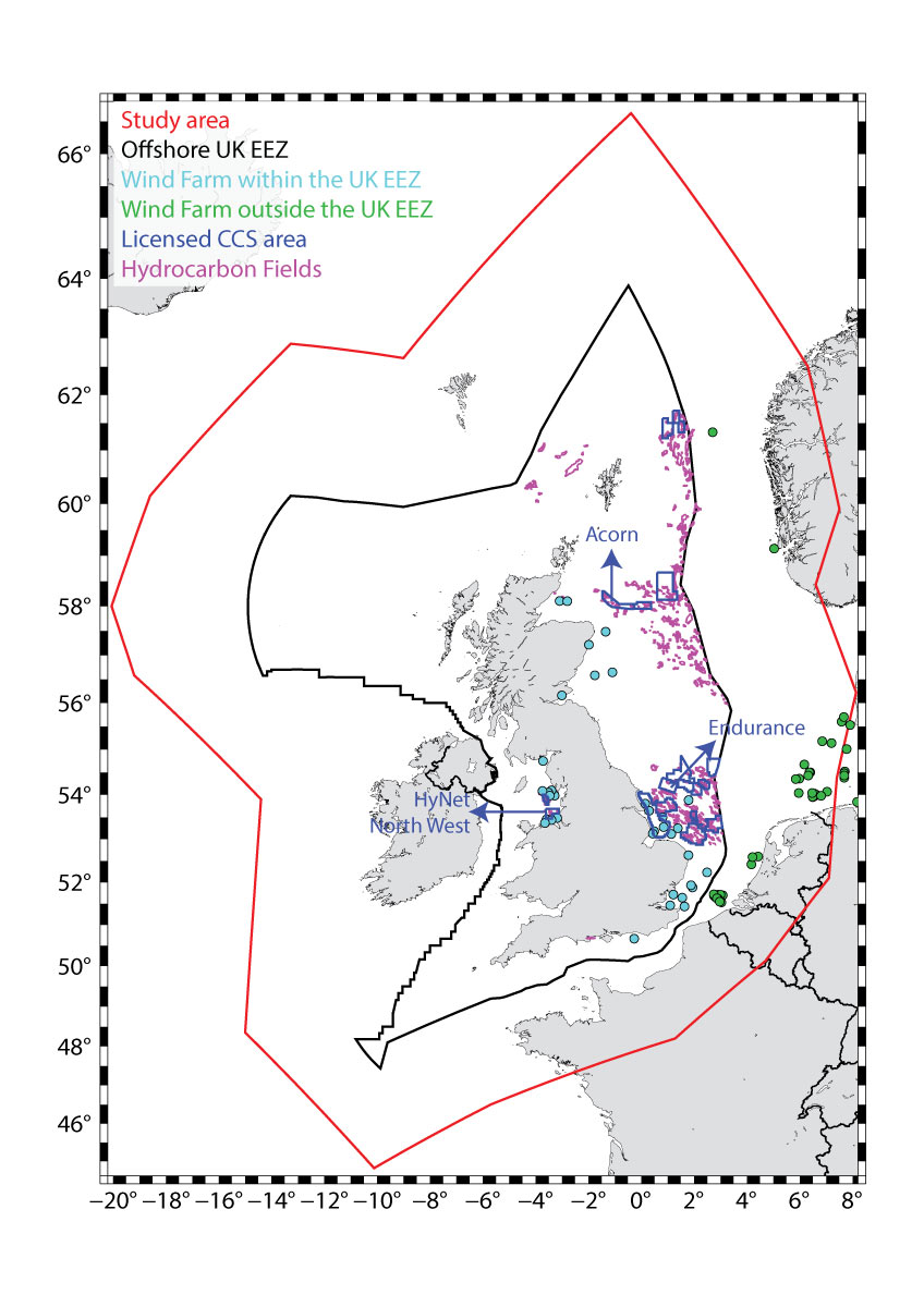
Map of the current UK offshore Exclusive Economic Zone (EEZ), the study area for this project and the locations of the gas and oil hydrocarbon fields, wind farms, and licensing offshore CCS sites as reported by the North Sea Transition Agency. BGS © UKRI. Contains OS data © Crown copyright and database right 2024.
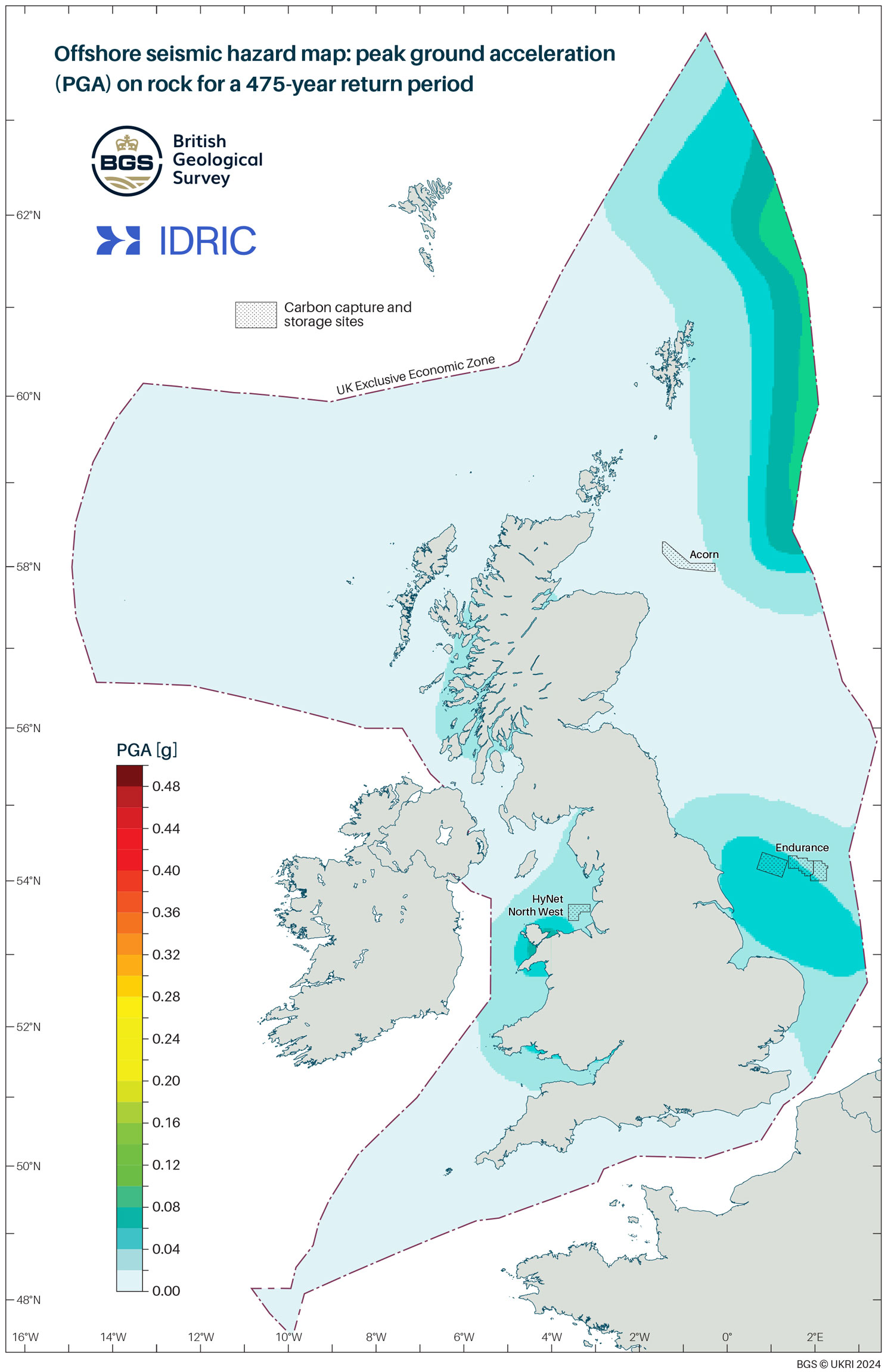
Offshore seismic hazard map showing peak ground acceleration (PGA) on rock for a 475-year return period. BGS © UKRI. Contains OS data © Crown copyright and database right 2024.
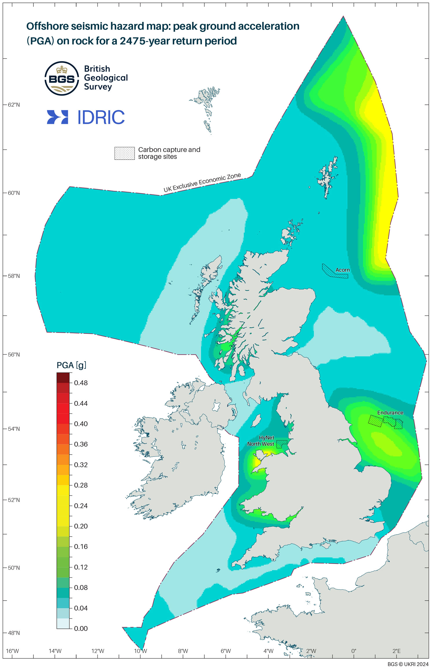
The new offshore seismic hazard map: peak ground acceleration (PGA) on rock for a 2475-year return period. BGS © UKRI. Contains OS data © Crown copyright and database right 2024.
These maps empower developers with the knowledge of the areas that have the greatest potential for key infrastructure, including CCS, to be built without the serious risk of damage caused by the ground shaking produced by future potential earthquakes, helping to ensure net zero can be achieved alongside the safety of those on and offshore.
Dr Ilaria Mosca.
Project partners and funding
The project was funded by the Industrial Decarbonisation Research and Innovation Centre (IDRIC). The project partner was Storegga, an independent developer of low-carbon solutions for industrial emissions, including CO2 storage and hydrogen. Storegga projects include the Acorn CCS, Cromarty and Speyside hydrogen projects in the UK, Trudvang CCS in Norway and Harvest Bend CCS in Louisiana.
More information
The products of this project are accessible through a dedicated webpage.
For more information, please contact Lucy Bloor, BGS Communications and Media Manager
m +44 (0)7745667169 / 07790 607 010
Relative topics
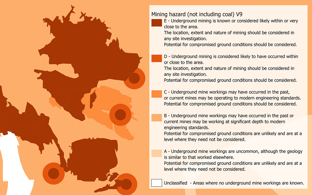
Mining hazard (not including coal)
The mining hazard dataset provides essential information for planners and developers building in areas of former shallow underground mine workings.
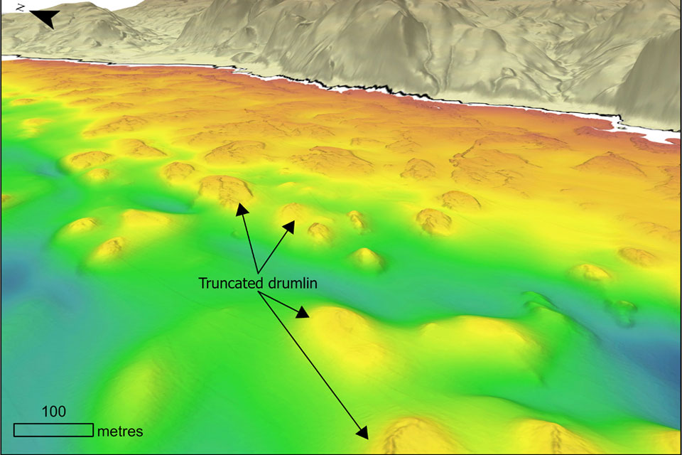
Coastal retreat in the past: the legacy of truncated drumlins
07/08/2026
The UK’s coasts have been responding to changing sea levels for thousands of years, but some of the best evidence of those changes now lies hidden beneath the waves.
BGS strengthens scientific links with Icelandic partners through Research and Innovation Scotland initiative
06/08/2026
BGS researchers recently visited Iceland as part of a project developing international partnerships and identifying opportunities for future collaborative research.
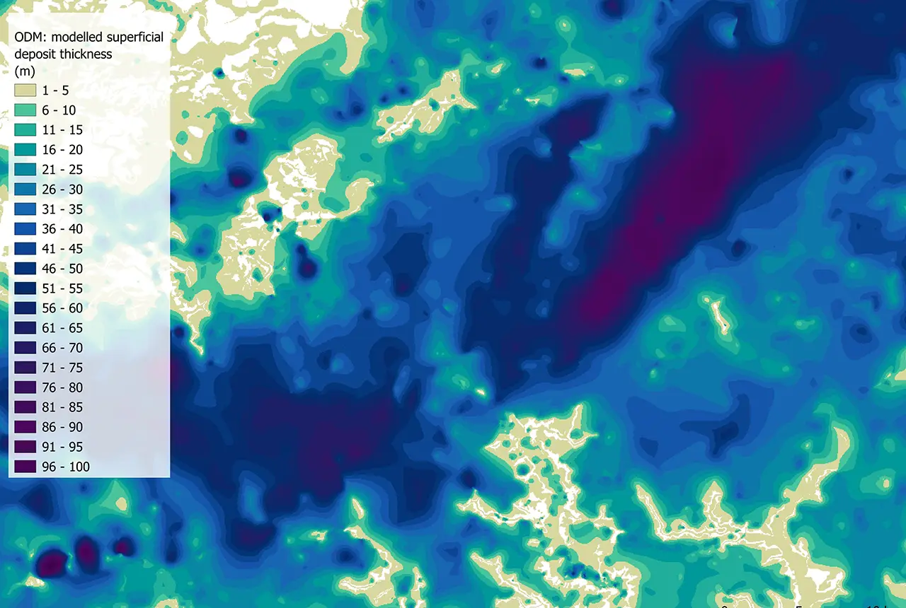
Updated national 3D model will determine the depth to the solid bedrock beneath our feet
13/07/2026
The BGS Superficial Deposit Thickness Model now includes an elevation model of geological rockhead for the first time, providing important data for civil engineers, geoscientists and environmental scientists.
New geological mapping underway to help manage flooding along the River Tweed
08/07/2026
Scientists are surveying the Tweed catchment for the first time in over 100 years to enhance understanding of localised groundwater and improve flood forecasting.
Geological research in North Sea helping to safeguard subsea cables
06/07/2026
Subsea power and telecommunications cables are critical to the UK’s energy infrastructure and global connectivity, yet they remain vulnerable to damage from ship anchors, fishing activity and natural hazards.
New geological maps of Berwick-upon-Tweed to help future-proof natural water supply
20/05/2026
Scientists have mapped the geology under the town to better understand the groundwater system to inform decisions around abstraction.
UK scientists unite for seabed mapping survey of the UK’s south-west coastline
15/04/2026
BGS geologists join research voyage, gathering crucial geological data to support offshore energy and infrastructure projects.
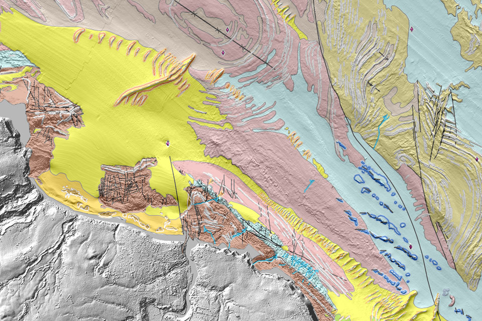
Updated geological assessment of the Southern North Sea set to underpin future offshore infrastructure development
25/03/2026
The first regional assessment for 30 years will support offshore marine and subsurface planning for the UK’s low-carbon energy infrastructure, including the 2030 target of 45 to 50 GW generated through offshore wind.
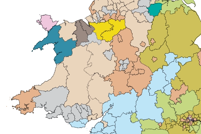
Map of BGS BritPits showing the distribution of worked mineral commodities across the country
18/02/2026
BGS’s data scientists have generated a summary map of the most commonly extracted mineral commodities by local authority area, demonstrating the diverse nature of British mineral resources.
Can sandstones under the North Sea unlock the UK’s carbon storage potential?
02/02/2026
For the UK to reach its ambitious target of storing 170 million tonnes of carbon dioxide per year by 2050, it will need to look beyond the current well-studied geographical areas.
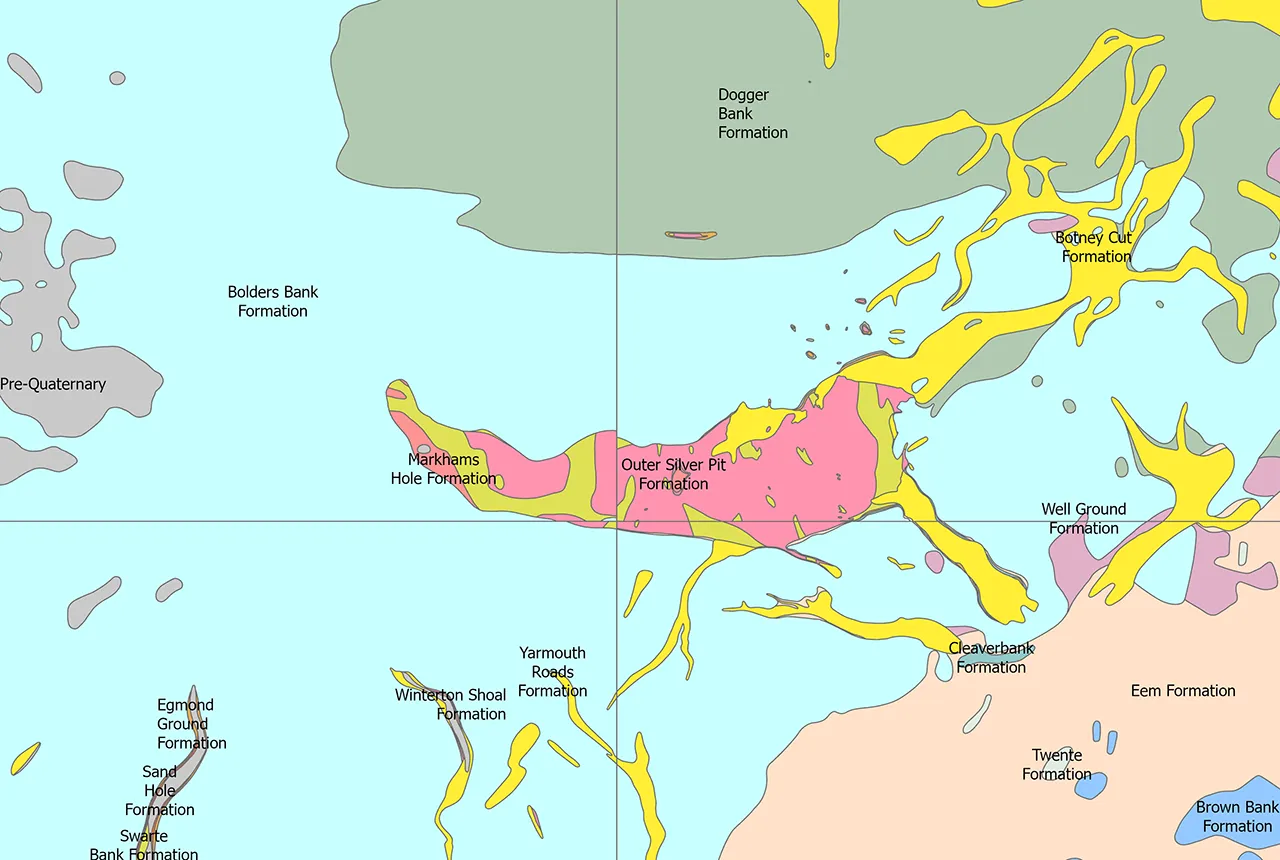
Quaternary UK offshore data digitised for the first time
21/01/2026
The offshore wind industry will be boosted by the digitisation of a dataset showing the Quaternary geology at the seabed and the UK’s shallow subsurface.