Relative topics
76 results for "geohazards"

BGS awarded funding to support Malaysia’s climate resilience plan
The project, funded by the Foreign, Commonwealth & Development Office, will focus on minimising economic and social impacts from rainfall-induced landslides.

UK braced for what could be the largest solar storm in over two decades
Intense geomagnetic activity could disrupt technology such as communication systems, global positioning systems and satellite orbits.
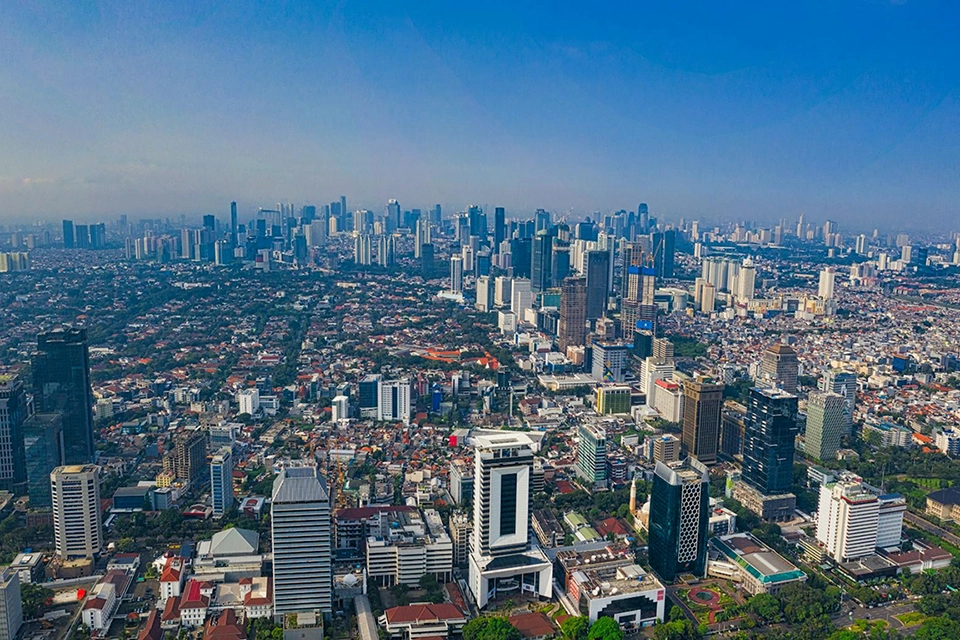
New research highlights significant earthquake potential in Indonesia’s capital city
Research reveals that a fault cutting through the subsurface of Jakarta could generate a damaging earthquake of high magnitude.

GSNI project wins multiple awards at RegioStars event
The AGEO project enjoyed a double success at the RegioStars awards, hosted at the European Commission in Brussels.
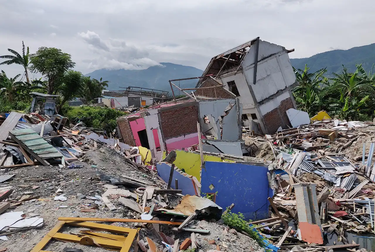
New report sets pathway to reduce the impacts of geohazards in one of the world’s most hazard-prone nations
A new White Paper, co-developed by Indonesian and UK hazard experts, presents a strategic roadmap to significantly reduce the impacts of geological hazards in Indonesia.
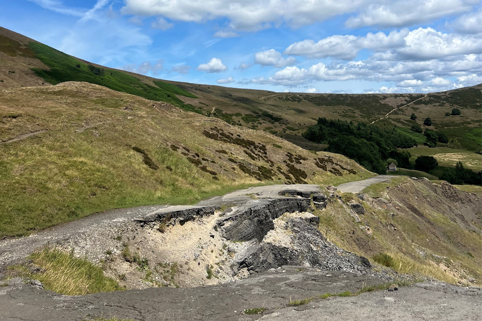
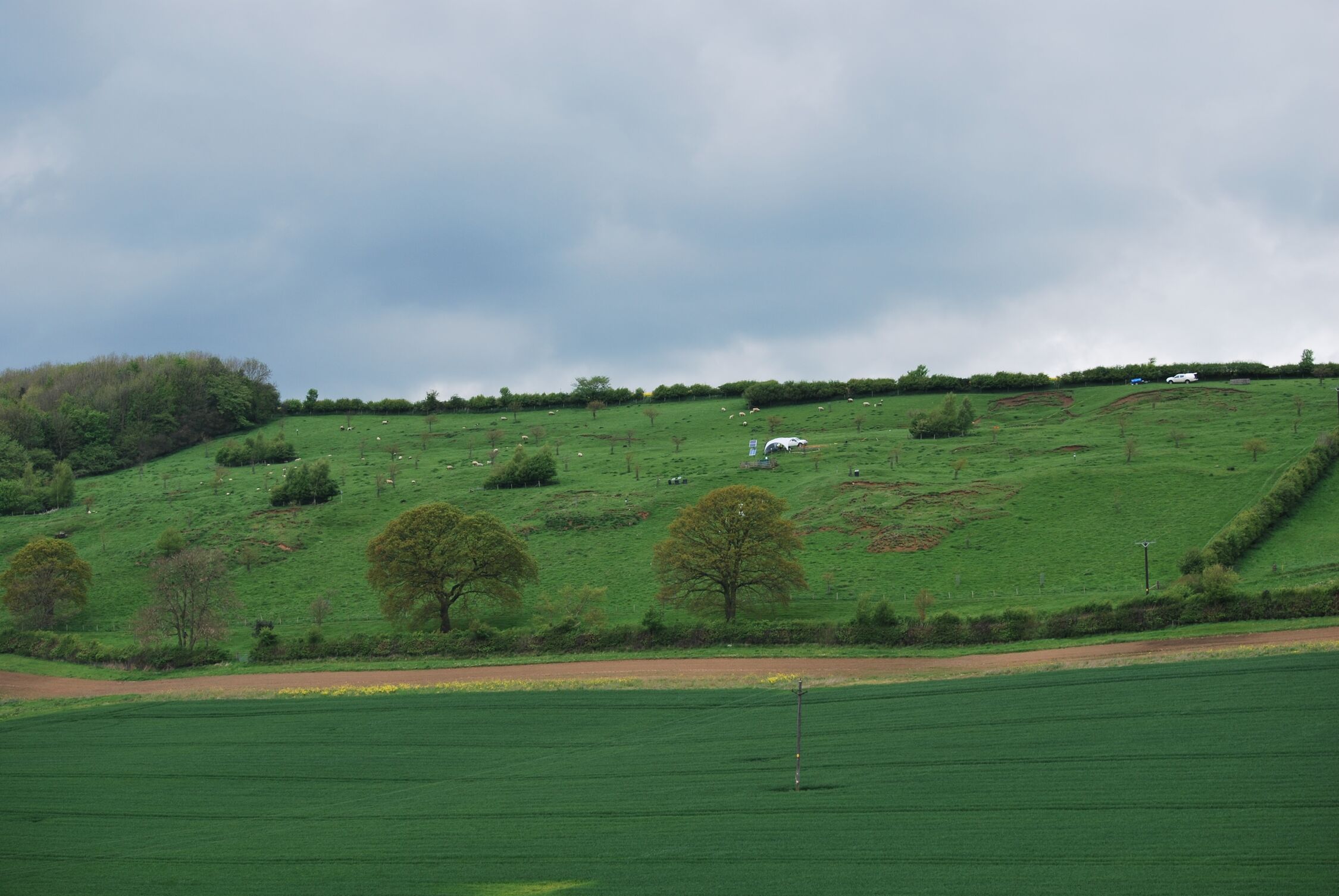
Artificial intelligence helps scientists identify 3000 moving slopes potentially at risk of landslide
A new approach that combines AI and satellite data has been used by scientists to detect actively moving landslides at a national scale.

UK scientists in awe-rora as national coverage of magnetic field complete for the first time
New sensors being installed across the UK are helping us understand the effects that extreme magnetic storms have on technology and national infrastructure.
BGS-led paper scoops prestigious award
New research providing earlier warnings of landslides has been awarded the British Geotechnical Association medal.