Relative topics
76 results for "geohazards"
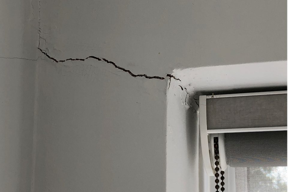
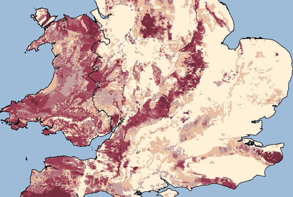
Six BGS datasets for assessing shrink–swell subsidence hazards
Shrink–swell subsidence is one of the most significant geological hazards affecting the UK. BGS has six datasets to help assess the problem.
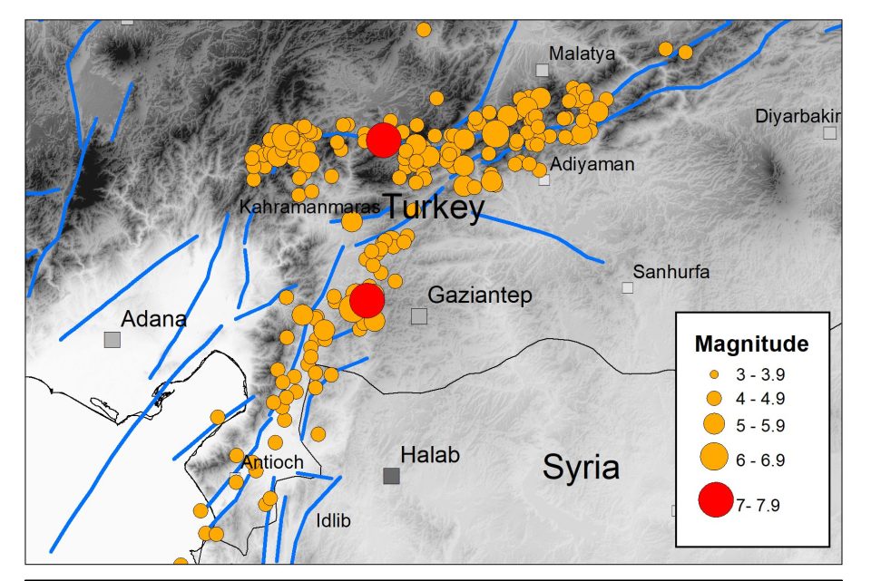
The Kahraman Maraş earthquake sequence, Turkey/Syria, 2023
Two large earthquakes occurred within hours of each other on 6 February 2023.

Property subsidence assessment: helping to mitigate shrink–swell hazard risk
The BGS Property Subsidence Assessment dataset provides insurers and homeowners with tools to better understand shrink–swell and the risk it poses to homes and businesses.
One year on: reflections on the Hunga Tonga-Hunga Ha’apai volcanic eruption
The eruption of the Hunga Tonga-Hunga Ha'apai Volcano in January 2022 has highlighted a global unpreparedness for the impacts from large-scale global events.
MYRIAD-EU: shifting the paradigm in disaster risk management
How changing our approach to disaster risk reduction practices can create a more resilient future.
Five places in Yorkshire to assess key geological hazards
A field trip to Yorkshire has helped our data products team improve their output.
Updated radon map for Great Britain published
The UK Health Security Agency and BGS have published an updated radon potential map for Great Britain.
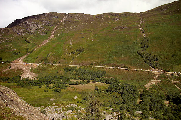
Introducing the BGS Debris Flow Susceptibility Model for Great Britain
Debris flows are a landslide hazard of particular concern to transport infrastructure managers and local authorities.