Digital geoscience
BGS Research
BGS is a data-rich organisation. Our data science and data infrastructure are fundamental to our future research and are critical assets that underpin all three of our strategic challenges.
Embracing new technology across the BGS will be crucial. We will invest in technologies to change our operating systems and to create a new cyber infrastructure. This will include an integrated information system feeding into a global geoscience cloud, revolutionising data provision, forecasting and prediction, and supporting our three strategic challenges.
We will also develop new methods of delivering data to our customers and stakeholders to improve their user experience, including new insights into data and data tailored for impact and solutions.
- Acquiring primary data will enable us to conduct challenge-led science
- Data acquisition will be essential to addressing significant knowledge gaps and to reduce uncertainty in critical areas
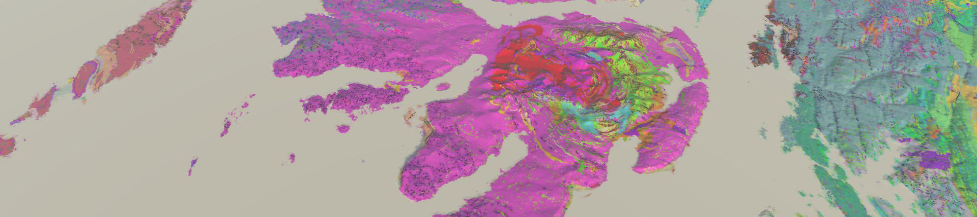
- Improved capabilities to capture, process and store data will allow us to better characterise the environment and rock volumes in greater detail and with increased temporal resolution
- We will look to develop our sensor technologies and improve monitoring capacity and the ability for it to be mobile
- We need to handle ever larger datasets and outputs from subsurface experiments, which calls for us to expand our storage, network and access requirements
- We work with partners to develop the capability to store and reference data
- This includes the analogue data held by the National Geological Repository and the BGS Library — samples, cores, maps and records
- Data management is a key requirement to ensure good data governance and repurposing of collected data
- We aim to employ machine learning techniques and new technologies, building on internationally recognised standards that we will co-develop
- Collaboration in data laboratories and data commons will require skills development to ensure we can continue to analyse, process and visualise data as effectively as possible
- Developing capacity, capability and data management systems in developing countries will continue to be a priority
- Research infrastructures and new capabilities will ensure we remain at the forefront of scientific computing technologies. These include:
- hosting the European Plate Observing System’s (EPOS) integrated core services
- the OneGeology project
- We will research more effective use and integration of geospatial geological data, with emphasis on the built environment, as part of the UK Geospatial Commission
- We will use new techniques to improve access and links between datasets and work to comply with ‘FAIR’ data principles, making data findable, accessible, interoperable and re-usable
- Visualisation will support technological innovations, including smartphone apps, and crowdsourcing technology in developing countries facing complex multi-hazards and environmental degradation
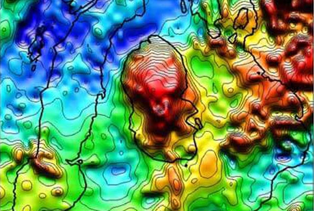
- We will develop conceptual models through the collection of geological data to support projects involving multiphase flow systems and in geophysical and geochemical science
- Predictive models will be developed to forecast or predict the future evolution of a process on the basis of current understanding
- Simulation models will be developed to assist model users to understand how decisions taken may influence (or may be influenced by) a complex system, for example hazard assessment around volcanoes
- Simulations that mimic how individuals respond to risks will be developed with social scientists
- Modelling of the Earth’s geophysical characteristics will also be undertaken
Digital lab
Developing, testing and providing new tools and technologies that support delivery of the BGS science strategy enabling world class research across BGS.
Hazard and resilience modelling
Developing new and innovative data products that deliver geoscientific information to a range of users in an accessible form.
Product development
Producing a broad range of geological data and information, including digital mapping, for all stakeholders.

Citizen science
Allowing scientists to accomplish research objectives more readily than would otherwise be possible, using volunteers to perform research-related tasks.
Our data and facilities
Data search
Accessing the more than 400 datasets that data-rich BGS holds in its care.

National Geoscience Data Centre
Collecting and preserving geoscientific data, making it available to a wide range of users and communities.
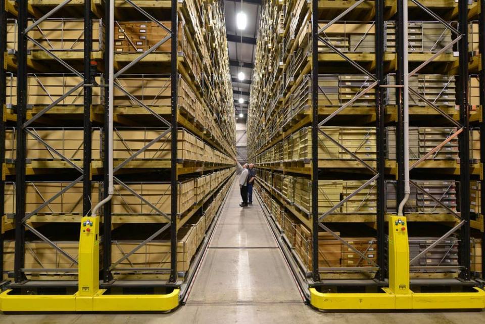
National Geological Repository
Hosting BGS’s collections of borehole cores, cuttings, samples, specimens, and related subsurface information from the UK landmass and continental shelf.
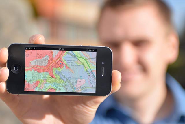
OpenGeoscience
Accessing maps and downloading data, scans, photos and other information via BGS’s free OpenGeoscience service.
Digital data licensing and resellers
Providing a wide range of licences for the use and utilisation of our information products by for those interested in an information product and the Open Government Licence is not applicable.

Updated national 3D model will determine the depth to the solid bedrock beneath our feet
13/07/2026
The BGS Superficial Deposit Thickness Model now includes an elevation model of geological rockhead for the first time, providing important data for civil engineers, geoscientists and environmental scientists.

From archive to discovery: historical mineral reports support gold exploration in Scotland
25/06/2026
Digitised geological records show potential to unlock untapped mineral resources in Ardlochan, Argyllshire.

Ukraine and the UK strengthen their commitment to geological cooperation
10/06/2026
A new Memorandum of Understanding reaffirms the UK’s support of Ukraine’s ambitions to develop its critical mineral resources, paving the way for collaboration through capacity-building programmes.

New geological maps of Berwick-upon-Tweed to help future-proof natural water supply
20/05/2026
Scientists have mapped the geology under the town to better understand the groundwater system to inform decisions around abstraction.
BGS GeoClimate – dataset launch webinar
Event on 02/06/2026
The virtual launch of our new BGS GeoClimate dataset – helping mitigate the economic risk from shrink-swell subsidence. Event recording now available

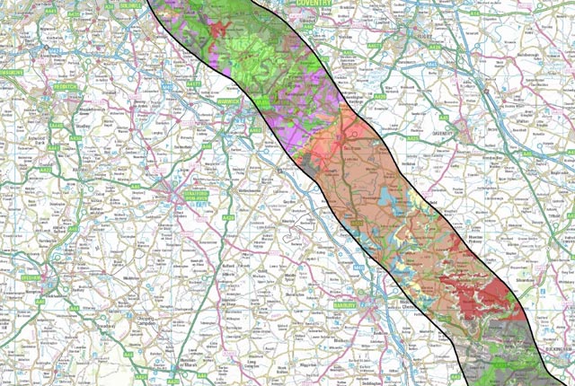
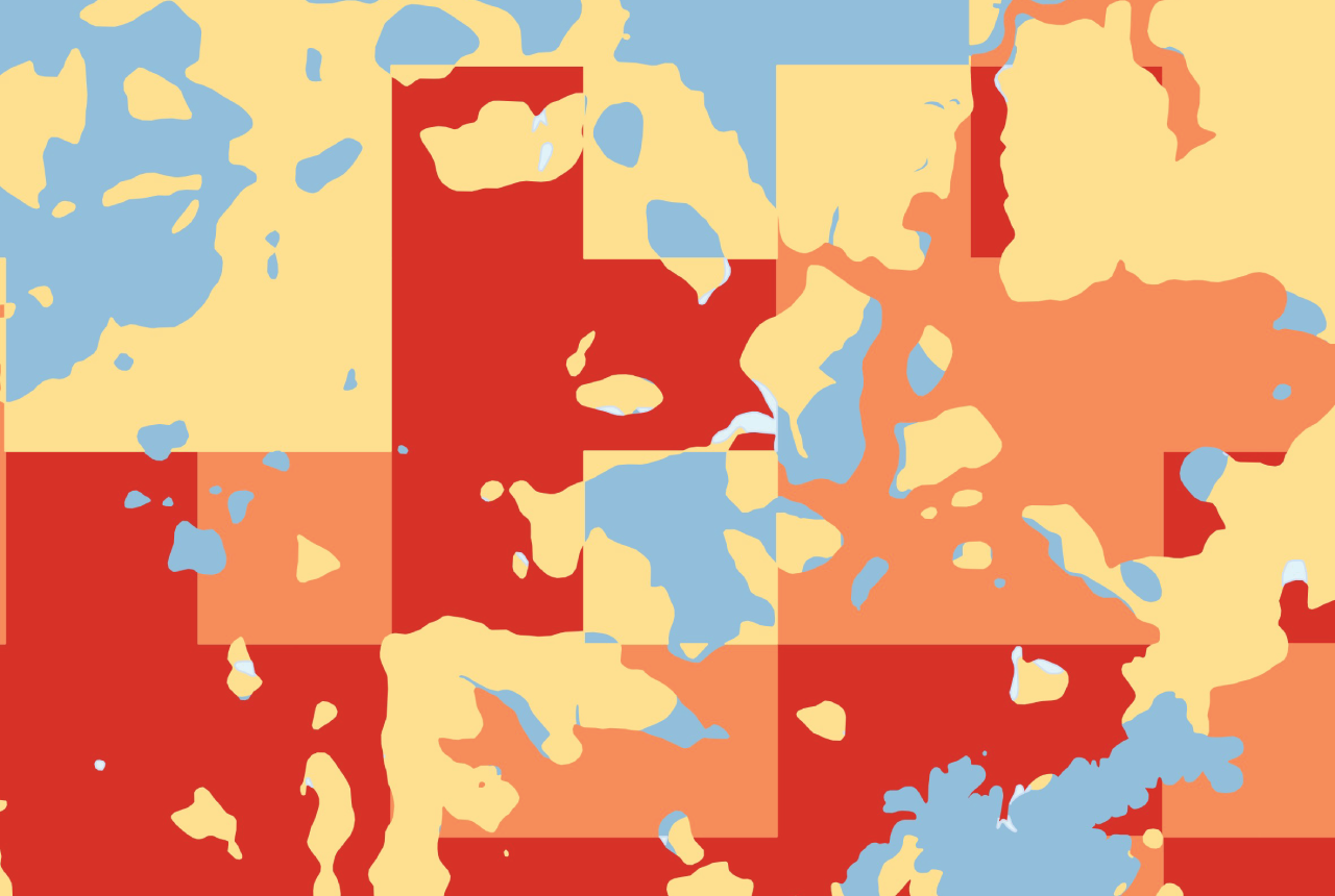
Map of BGS BritPits showing the distribution of worked mineral commodities across the country
18/02/2026
BGS’s data scientists have generated a summary map of the most commonly extracted mineral commodities by local authority area, demonstrating the diverse nature of British mineral resources.

Funding secured to help mitigate ground risk in UK construction sector
05/02/2026
The BGS Common Ground project has been awarded new funding to help unlock the value of ground investigation data.

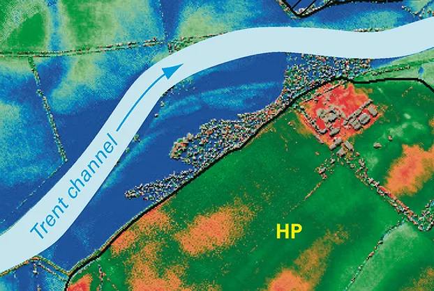
New geological maps of the Yorkshire Wolds to better inform groundwater management and policy decisions
17/12/2025
The new mapping provides crucial data on localised geological issues that may assist in protecting water supplies.

New 3D model to help mitigate groundwater flooding
08/12/2025
BGS has released a 3D geological model of Gateshead to enhance understanding of groundwater and improve the response to flooding.

Latest BGS Geology 50K mapping data launched
06/11/2025
Some of our most widely used maps have received a major update, including the 1:50 000-scale map series that now includes enhanced coverage of Great Britain.

World Cities Day: the geological story of our cities
31/10/2025
Understanding the rocks that underlie our towns and cities, the risks they can present and how they influence urban planning and redevelopment.

New BGS GeoIndex viewer released for user testing
24/09/2025
The premium map-viewing application has been given a major upgrade and made available as a beta release.