

BGS digital geology maps: we want your feedback
BGS is asking for user feedback on its digital geological map datasets to improve data content and delivery.
29/05/2025 By BGS Press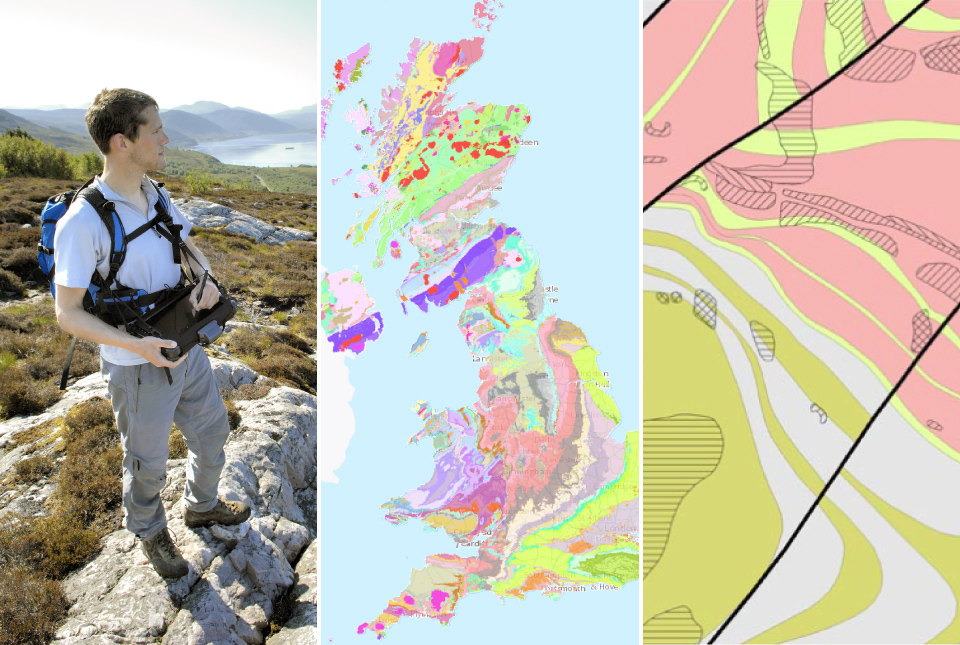

Our digital geological maps are a unique national resource. A good understanding of the subsurface is critical for many applications across a wide range of disciplines, including, but not limited to:
- aquifer management
- radioactive waste disposal
- mineral resources
- engineering
- geohazards
Geological maps and digital data help with making investment and planning decisions, assessing hazards and de-risking projects. We are constantly aiming to update and improve our maps, so they are fit for the digital demands of the 21st century.
Why do we want your feedback?
BGS is constantly striving to improve its map compilation and dissemination procedures. The maintenance and development of our geological data is a vital part of our survey role. This is especially important as technologies change and offer new ways to disseminate information. The way we collect, compile and produce map data is also changing, so we are reviewing the way our maps and products are developed and delivered to our customers.
Have your say
Implementing effective change requires input from all our stakeholder groups and we’d like to hear from you. What are your current priorities? What problems are being solved using our data? What would you like to see in the future? BGS values your input and would appreciate you completing this short questionnaire, providing as much context as possible.
Relative topics
Related news
Updated national 3D model will determine the depth to the solid bedrock beneath our feet
13/07/2026
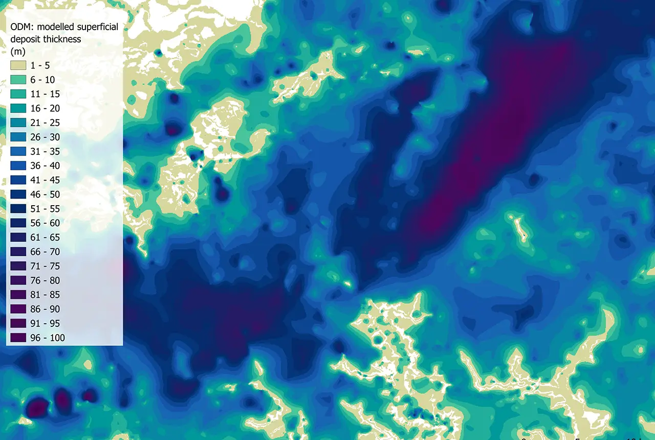
The BGS Superficial Deposit Thickness Model now includes an elevation model of geological rockhead for the first time, providing important data for civil engineers, geoscientists and environmental scientists.
New geological mapping underway to help manage flooding along the River Tweed
08/07/2026
Scientists are surveying the Tweed catchment for the first time in over 100 years to enhance understanding of localised groundwater and improve flood forecasting.
New geological maps of Berwick-upon-Tweed to help future-proof natural water supply
20/05/2026
Scientists have mapped the geology under the town to better understand the groundwater system to inform decisions around abstraction.
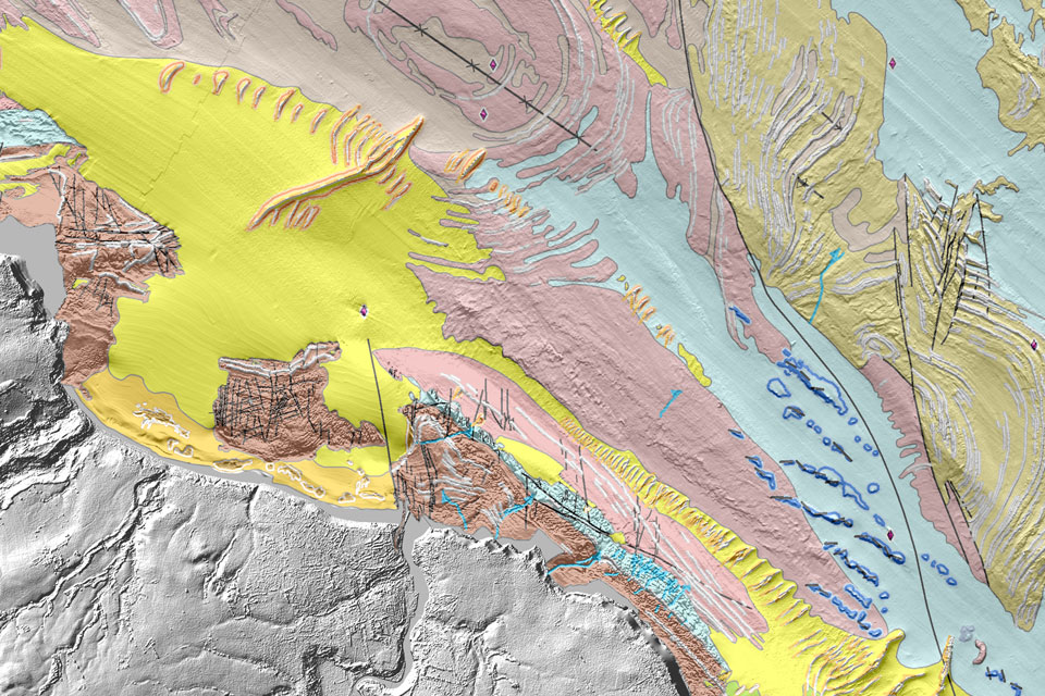
Updated geological assessment of the Southern North Sea set to underpin future offshore infrastructure development
25/03/2026
The first regional assessment for 30 years will support offshore marine and subsurface planning for the UK’s low-carbon energy infrastructure, including the 2030 target of 45 to 50 GW generated through offshore wind.
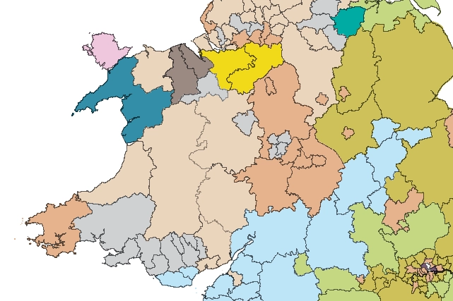
Map of BGS BritPits showing the distribution of worked mineral commodities across the country
18/02/2026
BGS’s data scientists have generated a summary map of the most commonly extracted mineral commodities by local authority area, demonstrating the diverse nature of British mineral resources.
Can sandstones under the North Sea unlock the UK’s carbon storage potential?
02/02/2026
For the UK to reach its ambitious target of storing 170 million tonnes of carbon dioxide per year by 2050, it will need to look beyond the current well-studied geographical areas.
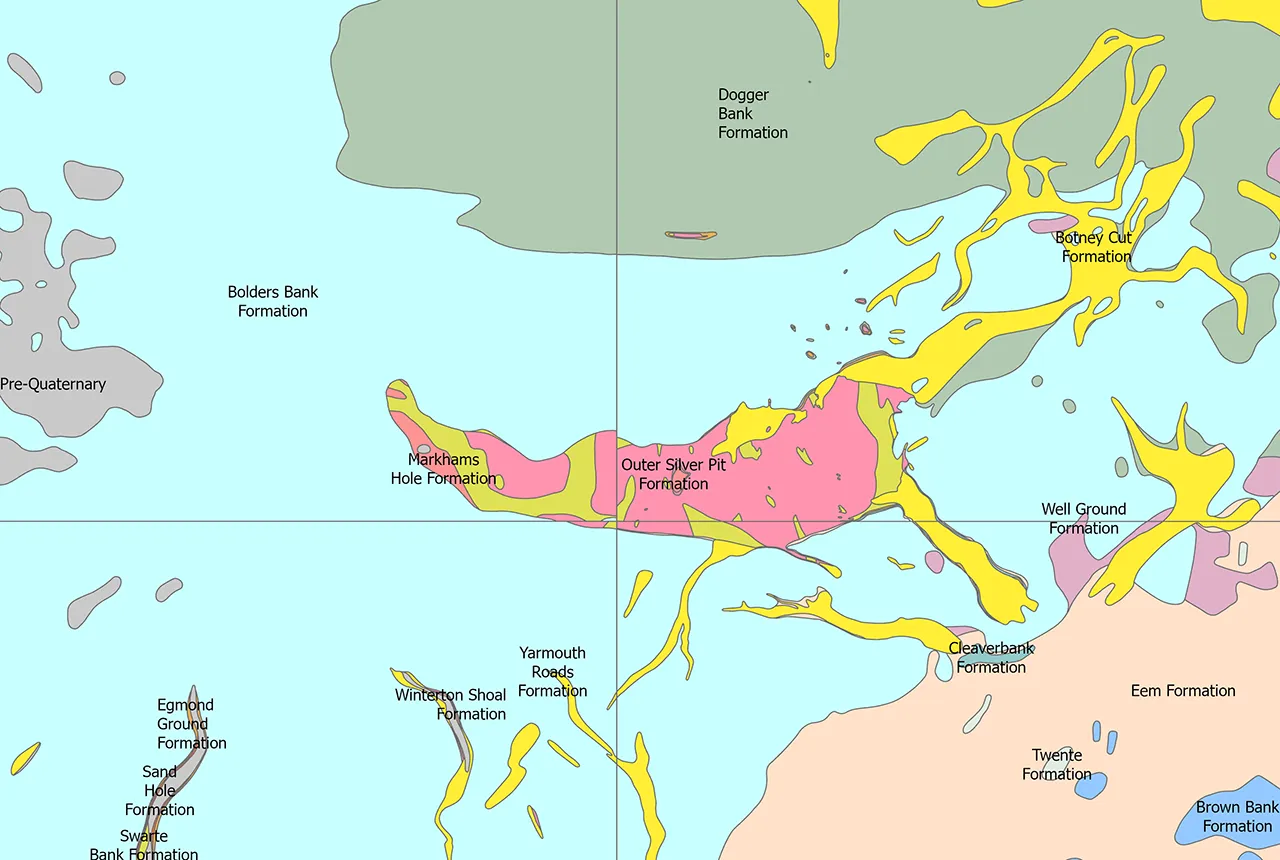
Quaternary UK offshore data digitised for the first time
21/01/2026
The offshore wind industry will be boosted by the digitisation of a dataset showing the Quaternary geology at the seabed and the UK’s shallow subsurface.
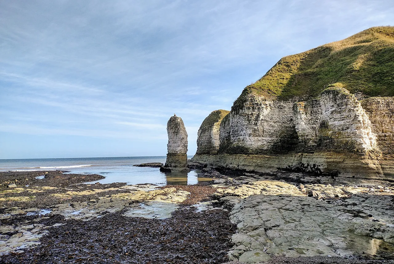
New geological maps of the Yorkshire Wolds to better inform groundwater management and policy decisions
17/12/2025
The new mapping provides crucial data on localised geological issues that may assist in protecting water supplies.

New 3D model to help mitigate groundwater flooding
08/12/2025
BGS has released a 3D geological model of Gateshead to enhance understanding of groundwater and improve the response to flooding.
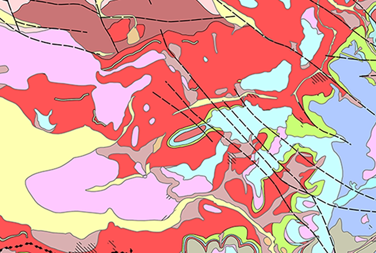
Latest BGS Geology 50K mapping data launched
06/11/2025
Some of our most widely used maps have received a major update, including the 1:50 000-scale map series that now includes enhanced coverage of Great Britain.
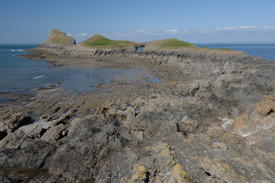
Extended seabed geology map of the Bristol Channel published
07/10/2025
BGS has released significantly extended high-resolution maps that will support offshore green-energy initiatives in the area.
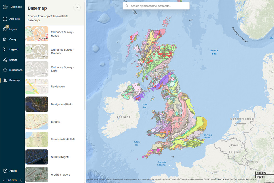
New BGS GeoIndex viewer released for user testing
24/09/2025
The premium map-viewing application has been given a major upgrade and made available as a beta release.