Relative topics
22 results for "mapping"

UK scientists unite for seabed mapping survey of the UK’s south-west coastline
BGS geologists join research voyage, gathering crucial geological data to support offshore energy and infrastructure projects.
BGS digital geology maps: we want your feedback
BGS is asking for user feedback on its digital geological map datasets to improve data content and delivery.
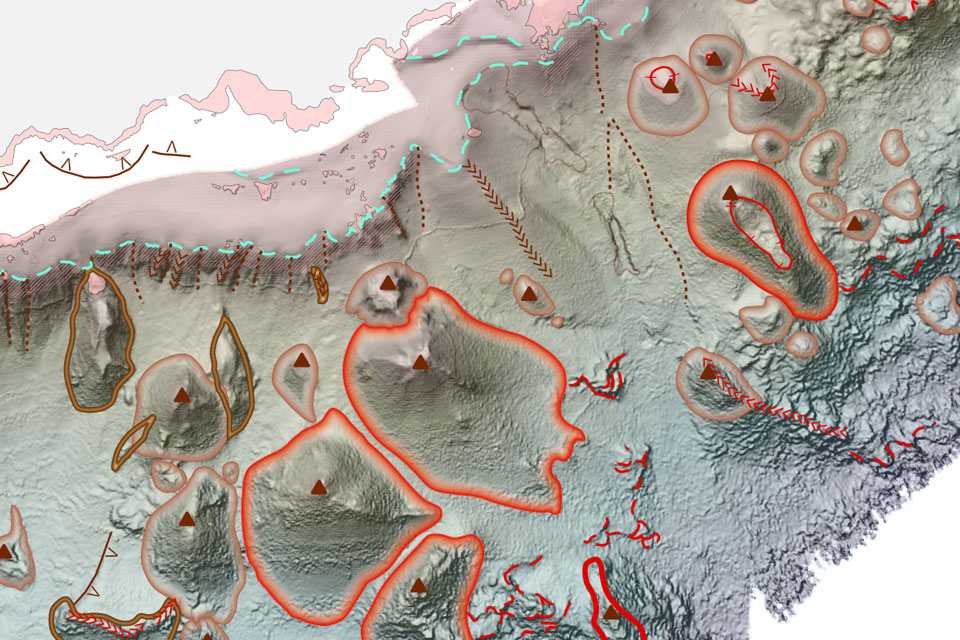
New seabed geology maps to enable long term conservation around Ascension Island
BGS deliver the first marine geology and habitat maps for one of the world’s largest marine protected areas.
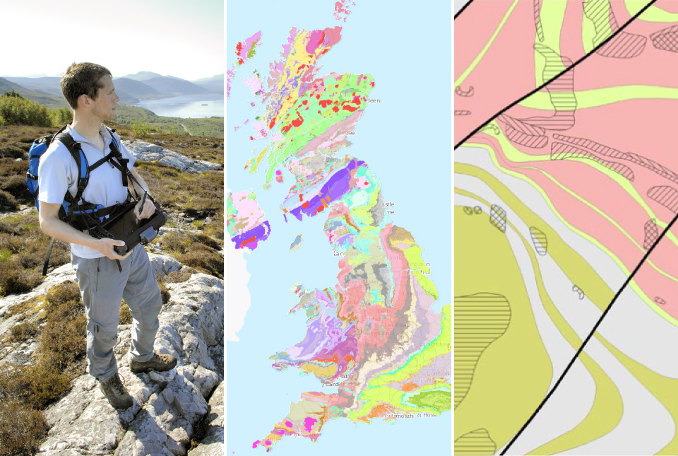
BGS Geology 625K
This generalised digital geological dataset is based on our published ‘poster’ maps of the UK (north and south). This dataset covers all of Great Britain and includes additional map data from Northern Ireland. It provides an excellent national overview of the UK’s geology and is commonly used as a teaching resource.
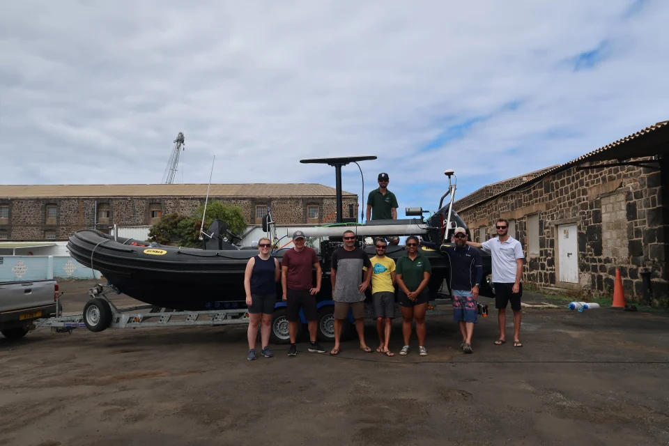
In photos: marine surveying a remote volcanic island
A photo blog by members of the BGS Marine Survey team, who recently completed marine surveys around Ascension Island in the South Atlantic Ocean.
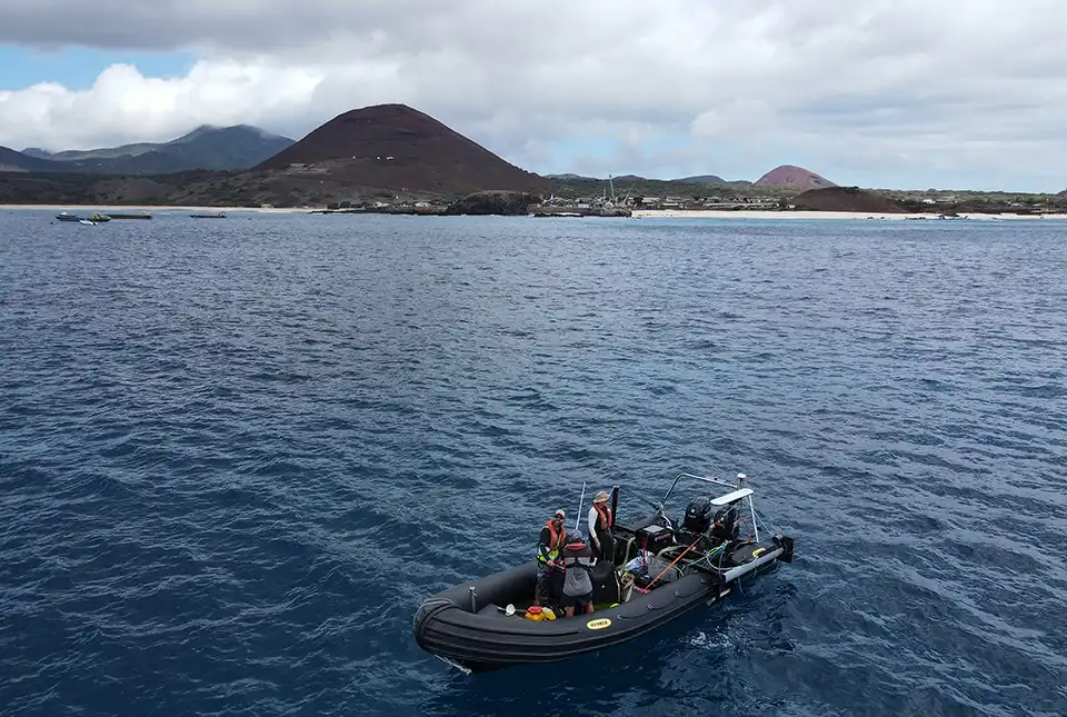
BGS completes first mapping expedition to Ascension Island
BGS marine geoscientists travelled to Ascension Island to support its government with an ongoing, conservation-driven mapping programme.
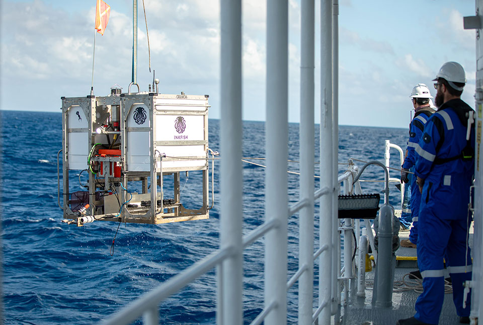
Trans-Pacific Transit 2023: deep-diving ocean partnership sets sail
BGS has joined a multidisciplinary research expedition to ‘explore the unexplored’ and fill in some of the biggest gaps in our knowledge of the oceans' darkest depths.
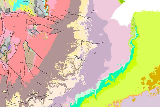
Updated biosphere map for the UK released
The updated biosphere map for the UK will allow users to identify sulphur isotope variations.