In photos: marine surveying a remote volcanic island
A photo blog by members of the BGS Marine Survey team, who recently completed marine surveys around Ascension Island in the South Atlantic Ocean.
14/12/2023 By BGS Press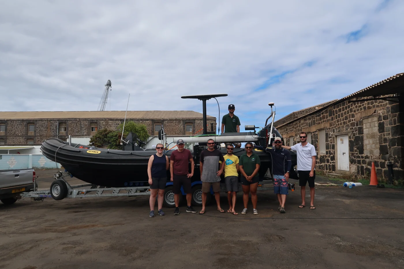

I’m Catriona Macdonald from the BGS Marine Survey team. My colleague Rhys Cooper and I recently returned from fieldwork on Ascension Island, a remote volcanic island in the South Atlantic Ocean. The reason for our visit was to complete a marine survey of the nearshore waters within the Ascension Island Marine Protected Area (MPA), one of the largest MPAs in the world. The survey is part of the first stage of a project funded by the UK Government through Darwin Plus to map the seabed and nearshore habitats within the MPA.
Working with the Ascension Island Government (AIG) marine conservation team, we acquired new, high-resolution bathymetry data in specific nearshore areas around the island as part of an integrated programme of marine surveys. The data will be used to produce the first geomorphology, substrate and habitat maps of the MPA. These will help to inform better management and monitoring of the marine environment, as well as enhancing our geological understanding of the sea floor around Ascension.
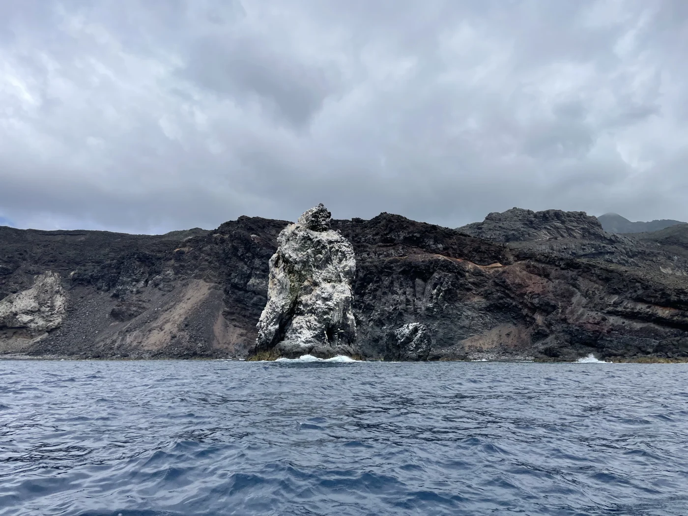
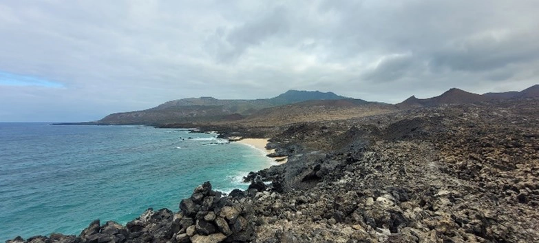
Mapping the uncharted: Pillar Rock. © Rhys Cooper
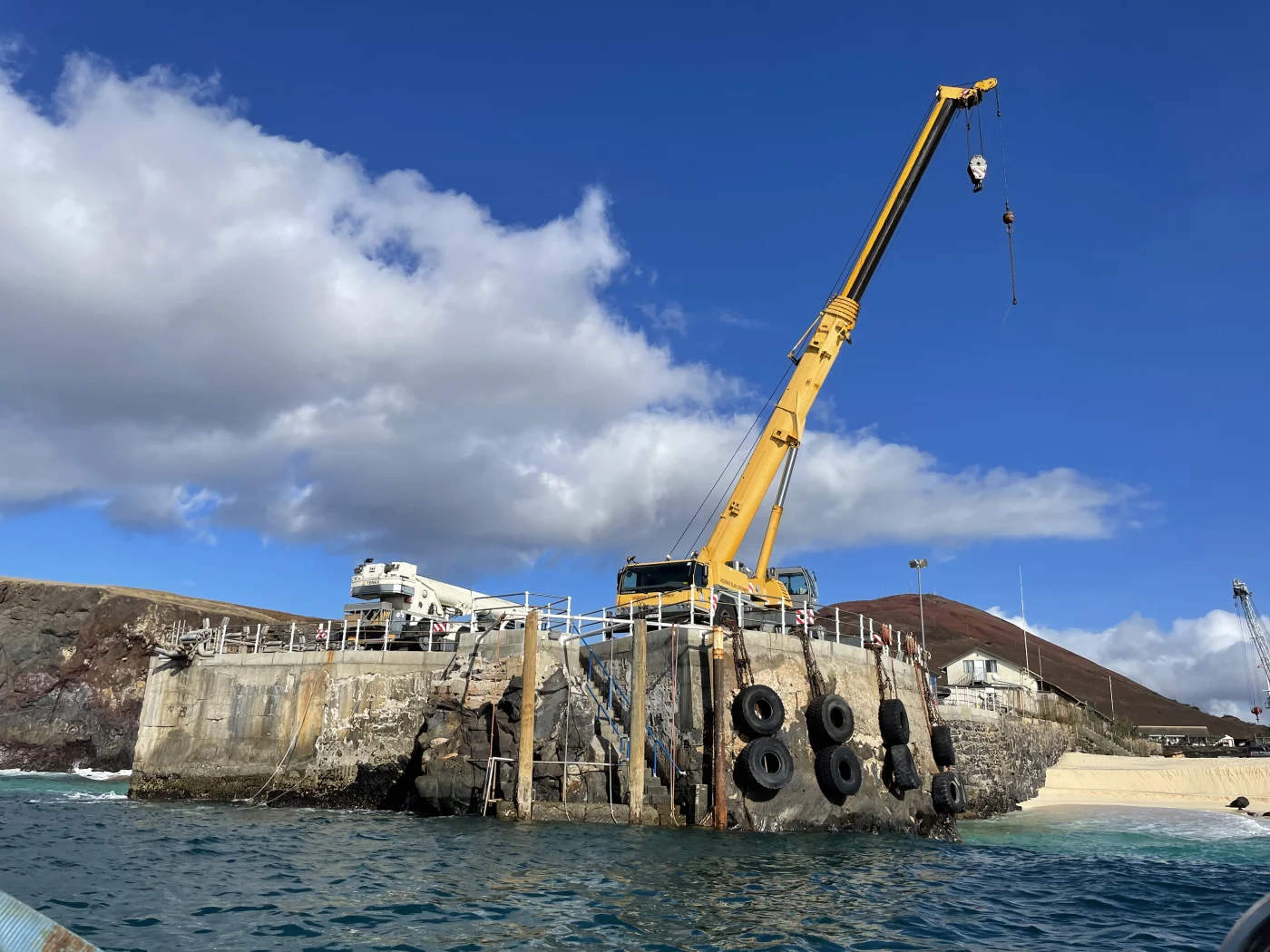
Crane launch of the boat and survey equipment. ©AIG/Lorna.

AirTanker, the civilian ‘charter’ plane that transports passengers from the UK to Ascension Island, on the runway of Wideawake Airfield. © Catriona Macdonald
North East Bay, Ascension Island. © Catriona Macdonald.
North East Point, Ascension Island. © Catriona Macdonald
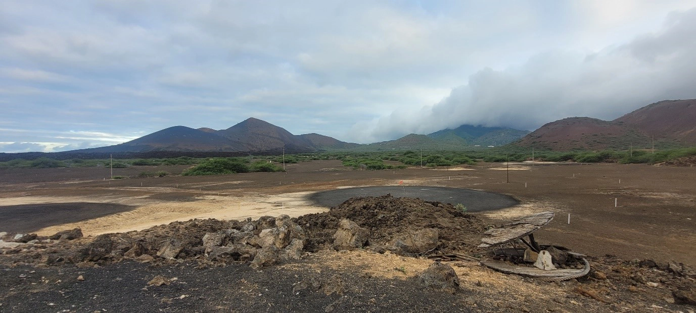
One Boat Golf Course, Ascension Island © Catriona Macdonald
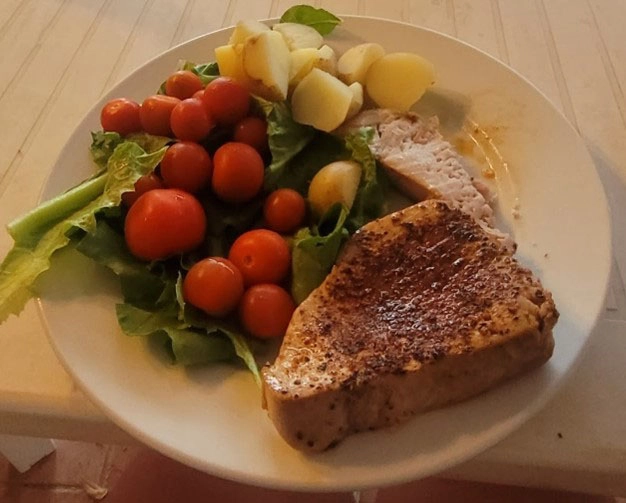
Tuna steak, caught by Catriona . © Catriona Macdonald.
Taking shelter from the sun on the boat © Rhys Cooper
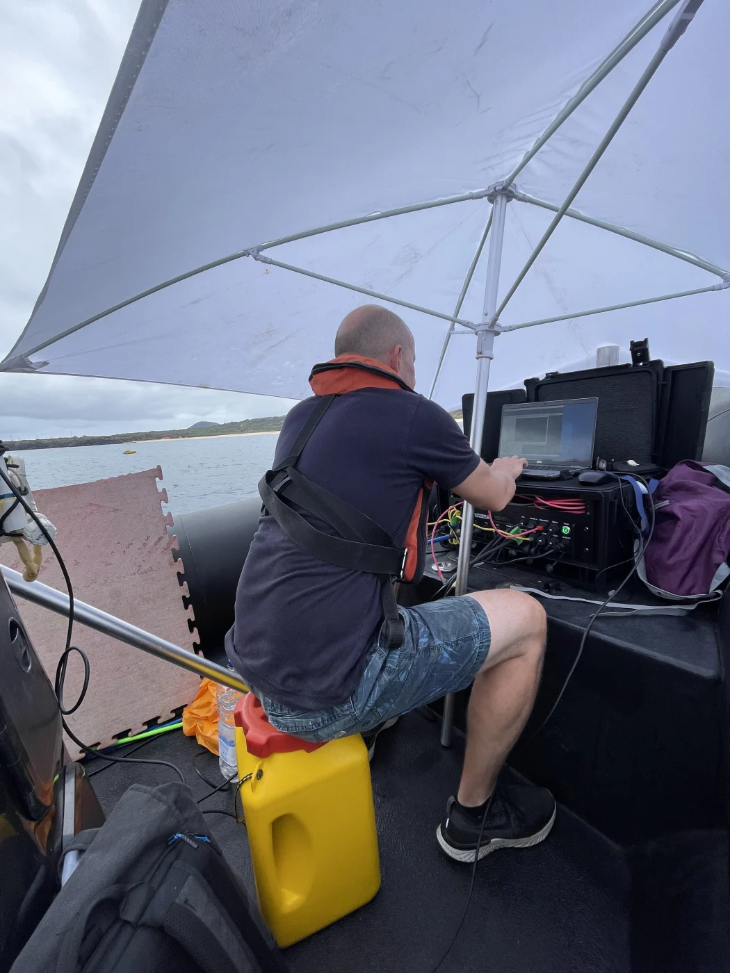
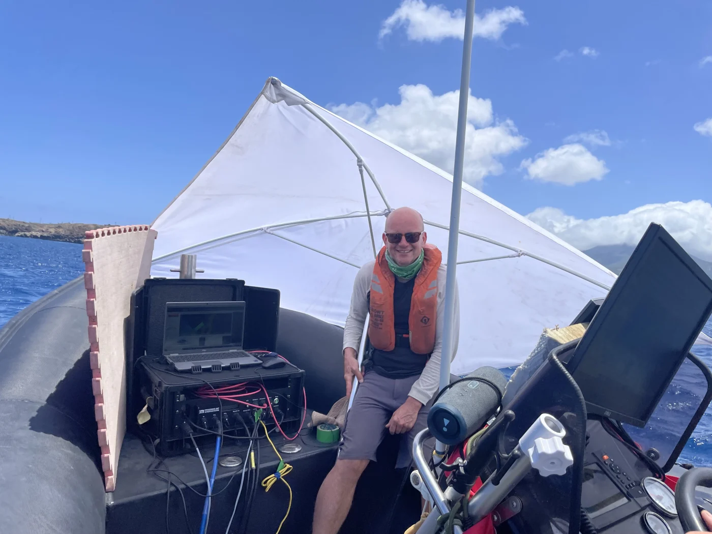
Rhys surveying © AIG/Catriona Macdonald
Completing a marine survey at the best of times can be extremely difficult, but, given the remoteness of Ascension Island, this project presented its own unique set of challenges. To get to Ascension, we had to travel down from Edinburgh to RAF Brize Norton, Oxfordshire, and fly overnight on the ‘South Atlantic airbridge’, which stops at Ascension for refuelling before continuing to the Falkland Islands. Thankfully, the flight now goes directly to Ascension: major repair work on the island’s runway led to the suspension of airbridge flights in 2017, meaning that the flights were diverted via Cape Verde. The runway opened again in 2022.
Chief surveyor Rhys considered several boat options before settling on a RIB-mounted system to complete the survey. The solution was ideal for surveying in shallow, nearshore waters, but it meant that the working conditions were challenging due to the size of the boat, the amount of survey equipment on board and the limited cover from the elements.
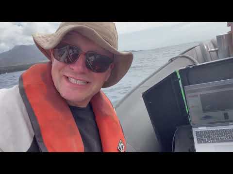

Rhys Cooper discusses how the project is mapping some previously uncharted areas around the island.
The food supply on Ascension is limited and depends on supplies that are flown to the island. However, we made good use of the fresh produce from the local hydroponics laboratory, which opened in 2016 and sells leafy crops, tomatoes and potatoes in the local shops. On our last weekend, our hosts from AIG took fishing rods out on the boat and at the end of the day we had a go at fishing. I was lucky enough to catch a yellowfin tuna, which meant we ate very well over the last few days!
Ascension’s amazing landscape and wildlife made the trip more than worthwhile. Over the course of our trip, we completed many of the hiking trails around the island. We even managed to source some (very old) golf clubs to have a go at the infamous One Boat Golf Club, which is sometimes playfully referred to as the ‘world’s worst golf course’. The team will return to the island in January 2024 to collect seabed samples and participate in outreach activities for local government and community groups living on the island.
This project is funded by the UK Government through Darwin Plus.

Relative topics
Related news

Building Europe’s geological future
20/07/2026
BGS scientists are contributing to a continent-wide initiative that is strengthening collaboration across borders to tackle shared subsurface challenges and unlock new opportunities.

Collecting beach pebbles: fun hobby but is it legal?
14/07/2026
The UK coastline will be inundated with keen holidaymakers this summer, many of whom will take a memento of their trip home in the shape of a pebble or two — but is it legal?

Strengthening capacity through partnership: a critical minerals perspective
28/04/2026
BGS has been working in partnership with the Geological Survey Department of Zambia (GSD) to build national capacity, improve data accessibility and support long-term, sustainable development.

PhD adventures in Copenhagen, Denmark: revealing past recovery processes of tropical forest systems through ancient environmental DNA
12/03/2026
PhD student Chris Bengt visited the University of Copenhagen to carry out very delicate extraction of aeDNA from lake-sediment cores, in the hopes of unlocking the secrets of past volcanic eruptions.

MARC Conference 2025: highlighting the importance of conferences to PhD students
16/02/2026
BGS and University of Nottingham PhD student Paulina Baranowska shares her experience presenting her research on nuclear forensics at her first international conference.

Hole-y c*@p! How bat excrement is sculpting Borneo’s hidden caves
23/12/2025
BGS researchers have delved into Borneo’s underworld to learn more about how guano deposited by bats and cave-dwelling birds is shaping the subsurface.

How the geology on our doorstep can help inform offshore infrastructure design
19/11/2025
BGS is part of a new collaboration using onshore field work to contextualise offshore data and update baseline geological models which can inform the sustainable use of marine resources.

Fieldwork on Volcán de Fuego
13/10/2025
Understanding how one of the world’s most active volcanoes builds up material, and how they collapse to feed hot flows
Esthwaite Water: applying novel approaches to understand lake-water nutrient pollution
19/09/2025
Andi Smith (BGS) and Savannah Worne (Loughborough University) embarked on fieldwork in the Lake District, applying a novel stable isotope method for tracing phosphorus sources.

Opening up the geosciences: making work experience more accessible
19/09/2025
BGS has been working with partners to make the geosciences more accessible to young people, including those from under-represented backgrounds.
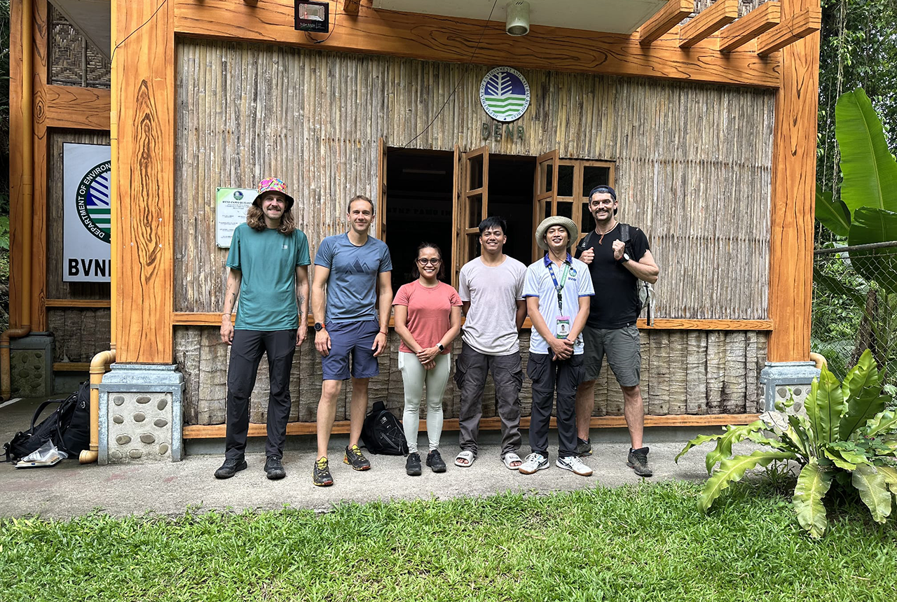
PhD adventures in the Philippines: coring around Lake Bulusan
05/09/2025
Chris Bengt recounts his two-week field trip to Bulusan Volcano Natural Park in the Philippines to collect lake sediment cores, fresh soil and water samples.
Gemini: a new stable isotope tool
21/08/2025
BGS’s Stable Isotope Facility has new mass spectrometer equipment for analysing carbon and oxygen isotopes from carbonates and water.