Relative topics
110 results for "international"

Building Europe’s geological future
BGS scientists are contributing to a continent-wide initiative that is strengthening collaboration across borders to tackle shared subsurface challenges and unlock new opportunities.

Delving deep into mountains for future water security
A BGS-led project is using new water-tracing investigation methods, geophysics and modelling to understand how water moves from mountains to the lowlands, helping to improve water security for billions of people.

Ukraine and the UK strengthen their commitment to geological cooperation
A new Memorandum of Understanding reaffirms the UK’s support of Ukraine’s ambitions to develop its critical mineral resources, paving the way for collaboration through capacity-building programmes.

International science consortium to survey the health, economic value and social importance of Lake Victoria
The project will replicate the 1927 survey to assess changes in the lake’s health, economic value and social importance.

BGS contributes to UN sand and sustainability report
The new report highlights the impact of poor governance and unsustainable sand mining practices, calling on policymakers to take action.
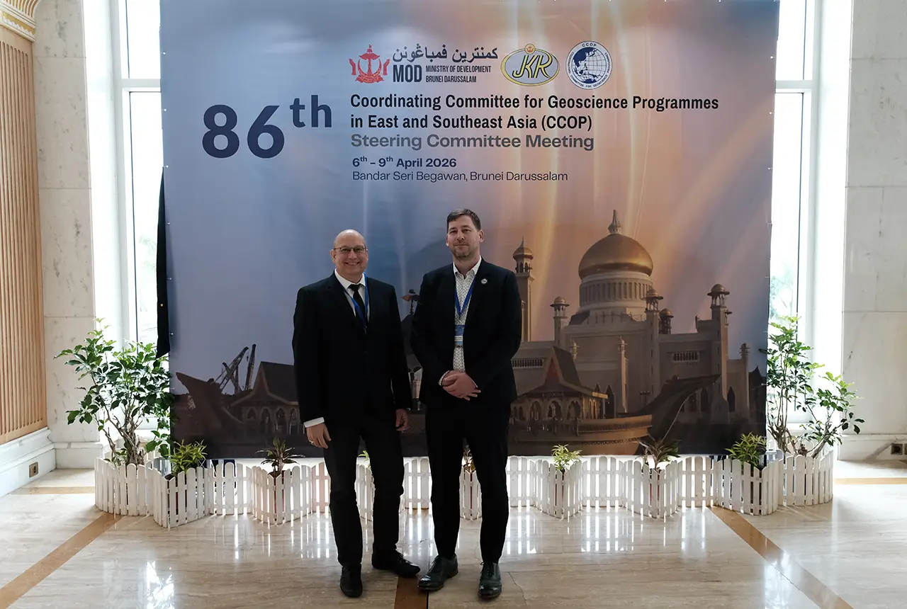
BGS engineering geologist elected to CCOP
Marcus Dobbs has been elected as vice-chair of the advisory group for the Coordinating Committee for Geoscience Programmes in East and Southeast Asia.

Strengthening capacity through partnership: a critical minerals perspective
BGS has been working in partnership with the Geological Survey Department of Zambia (GSD) to build national capacity, improve data accessibility and support long-term, sustainable development.

New research could help provide a more reliable water supply for millions in rural Africa
A new BGS-led study has revealed crucial insights into the longstanding challenges affecting the reliability and performance of rural water supply infrastructure in sub-Saharan Africa.