The BGS maps portal provides access to over 45 000 high-resolution viewing images of almost all the small, medium and large scale maps produced by the BGS since mapping started in 1832 right up to the most recent maps released in 2020. It incorporates all the earlier maps and history pages that were previously made available through the BGS ‘Historical maps of the Geological Survey of Great Britain and Ireland’ web resource.
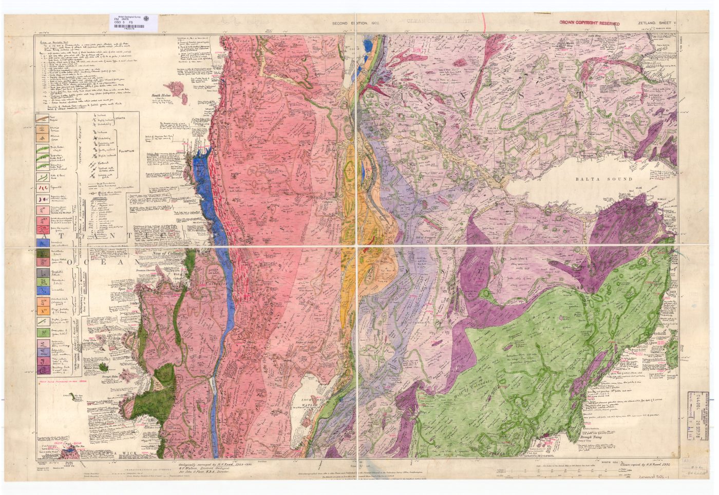

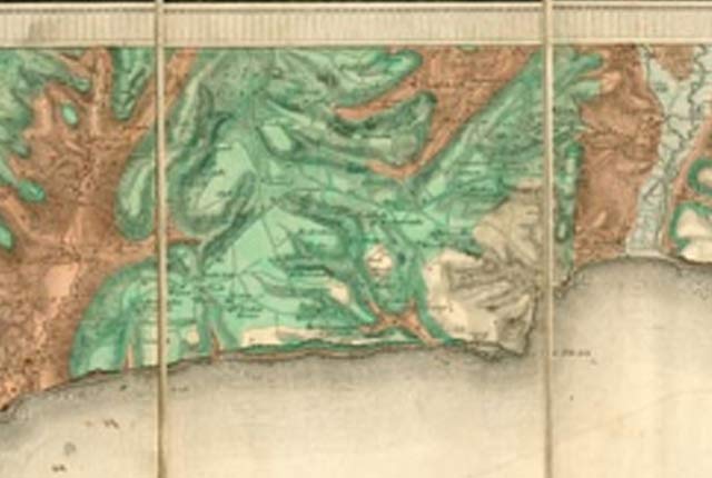
Shetland sheet 5, 1:10 560 maps, 1964. BGS © UKRI.
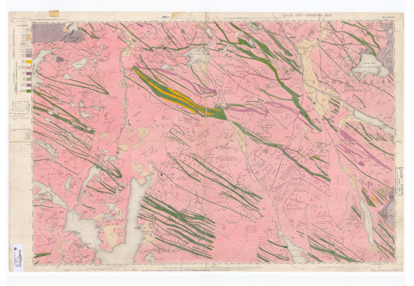
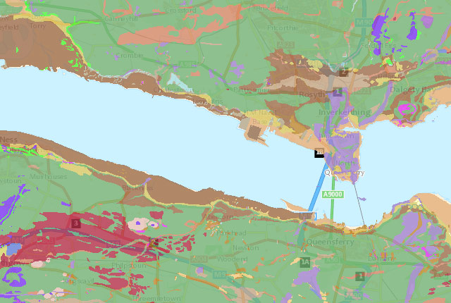
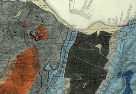
Ross & Cromarty sheet 33, 1:10 560 maps, 1892. BGS © UKRI.
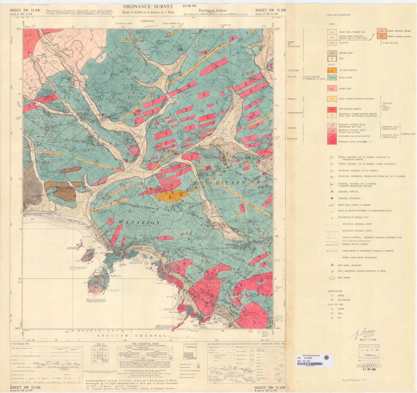
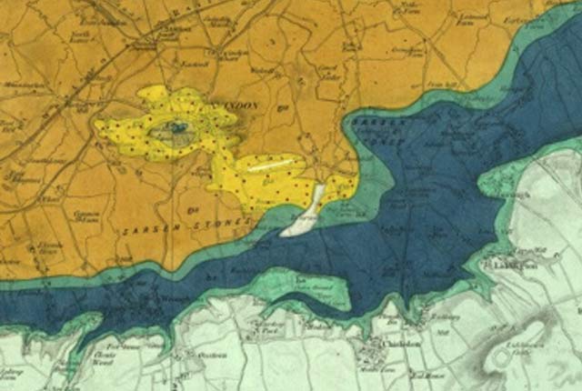
SW53SW (Cornwall), 1:10 560 maps, 1980. BGS © UKRI.
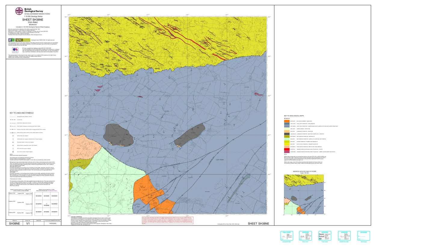
SH38NE(Anglesey), 1:10 000 maps, 2020. BGS © UKRI.
The maps portal provides access to view BGS maps, with the option to purchase high-resolution raster PDFs via the BGS online shop. All users are advised that our latest digital mapping is available to view via our Onshore and Offshore GeoIndex pages, and may differ significantly from the maps delivered via this portal. Further details about our digital vector data mapping is available via BGS Datasets.
Available data
The BGS maps portal includes:
- 1:10 560 or 1:10 000 large-scale geological maps of England and Wales, and Scotland.
- 1:63 360 or 1:50 000 geological maps of England and Wales and Scotland, and the associated historical horizontal and vertical sections
- 1:63 360 geological maps of the whole of Ireland when it was part of the BGS’s predecessor, the Geological Survey of Great Britain and Ireland (up to 1905)
- a range of geological and thematic maps covering the whole of Great Britain and its offshore areas, including the 1:250 000 UTM series and the associated geophysical maps
- a wide range of non-series, geological, tectonic and UK-wide offshore maps
The portal excludes the detailed Applied Geology Mapping thematic sets.
For further information on these maps, please contact BGS Enquiries visit the BGS Bookshop. For a small number of maps no scan exists, however, for completeness we provide the map details without a link to an image.
Map listing pages
After selecting a particular map series, you will be taken to a listing page where the maps can be browsed by sheet number or via a simple search facility. A link to a graphic index map showing the sheet outlines can be found in the ‘see also’ navigator on the top right (if an index map is available).
Full details pages
The information on the ‘listing pages’ is brief; to see the full details for a map click the ‘full entry’ link. This gives the full information for the map and several links.
- View the map — this link opens the high-resolution scanned image for free viewing in a separate browser window. You can zoom in and pan around the image.
- Buy direct from the BGS Bookshop — many of the latest published maps can be bought as paper maps directly from the BGS bookshop. If the map is not in stock, a print-on-demand paper copy can be provided from the scan. Digital copies of the maps are also available for sale in jpeg2000, TIFF or PDF format.
- Request a map copy — this provides an online form where you can enter your requirements and send them BGS Sales. The BGS still hold paper stocks of many of its maps and, for the older and out of print maps, we can produce a print from the high-resolution digital scan. You can also request a digital copy (in jp2, tiff or pdf) based on certain terms and conditions.
Note on the use of [square brackets] in the map data
The information about a map is normally a transcription from the map itself. Sometimes key information such as the title may not be actually printed on the map. Where this is the case the information is supplied in square brackets, e.g. [Kirk Maiden]. Information in square brackets means the information is supplied by the cataloguer and is not transcribed from the item.
Access the BGS maps portal
You may also be interested in
GeoIndex (onshore)
Search BGS datasets using GeoIndex, a map-based index of a wealth of information that we have collected or have obtained from other sources.
Origins of systematic geological mapping
An insight into the origin and early practice of systematic geological mapping by the Geological Survey; the application of hand-colouring; why the constant need for revision?
Geological Survey history — England and Wales
A short history of the Geological Survey of England and Wales.
Geological Survey history — Ireland
A history of geological mapping in Ireland
Geological Survey history — Scotland
A history of geological mapping in Scotland, including timeline and early beginnings.

Geological survey historical notes
Brief historical notes and links to key documents on the early 1:63 360 map series for England and Wales, Scotland and Ireland.