

Quaternary UK offshore data digitised for the first time
The offshore wind industry will be boosted by the digitisation of a dataset showing the Quaternary geology at the seabed and the UK’s shallow subsurface.
21/01/2026 By BGS Press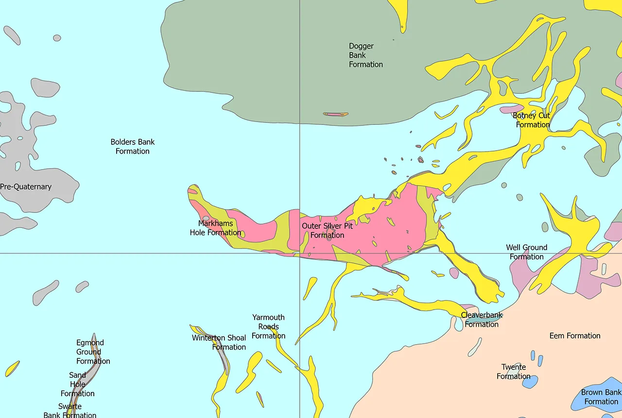

BGS has developed a new, national-scale, offshore dataset that shows the distribution of previously interpreted Quaternary rock layers in the shallow subsurface of the UK continental shelf.
The BGS Offshore Quaternary 250K dataset comprises a compilation of legacy BGS 1:250 000 Quaternary geology map sheets, which were first published in the late 1980s to early 1990s. Large areas of the UK offshore are covered at a scale of 1:250 000 and this is the first time these map sheets have been digitised and merged together.
The dataset is made up of vector polygons, each representing an area where a particular formation has been mapped. The legacy map sheet interpretations have not been modified during the digitisation; they are presented in their original form and have been ‘mosaiced’ together as a single digital product.
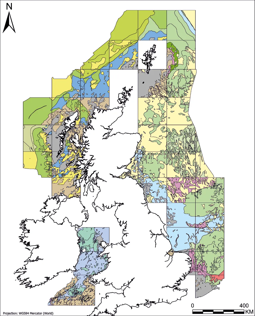
The dataset displayed by stratigraphical domain. BGS © UKRI. Coastline from Esri World Countries layer. Layer contains data from Esri, Garmin International, Inc., U.S. Central Intelligence Agency (The World Factbook), and International Organization for Standardization (ISO). Basemap created using ArcGIS. Copyright © Esri 2026. All rights reserved. www.esri.com
The dataset will help users, particularly those in the offshore renewables sector, to understand the stratigraphy that was mapped historically in a particular area and can be used for reference when completing site investigations.

The principal drive behind this release is to make original 1:250 000 map data available in a digital format. Although work to refine Quaternary stratigraphical frameworks is ongoing, the map compilation is not informed by new data or analyses.
The Offshore Quaternary 250K dataset is the first time that these legacy offshore map sheets will be digitised, making it easier for users to access the data than ever before.
Andrew Dyson, marine geoscientist at BGS.
Relative topics
Related news
The Lyell Centre celebrates 10 years of world-leading earth and marine science research
07/09/2026
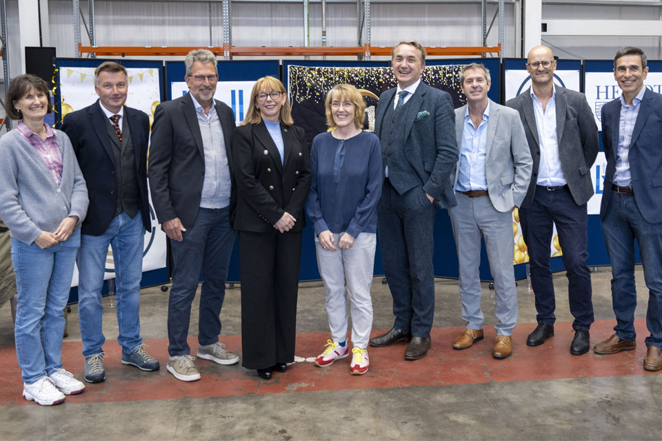
The Lyell Centre for Earth and Marine Sciences, a strategic partnership between Heriot-Watt University and BGS, is celebrating its 10th anniversary, marking a decade of world-leading research, innovation and collaboration in earth and marine sciences.
Coastal retreat in the past: the legacy of truncated drumlins
07/08/2026
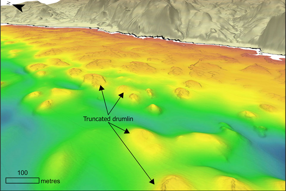
The UK’s coasts have been responding to changing sea levels for thousands of years, but some of the best evidence of those changes now lies hidden beneath the waves.
BGS strengthens scientific links with Icelandic partners through Research and Innovation Scotland initiative
06/08/2026
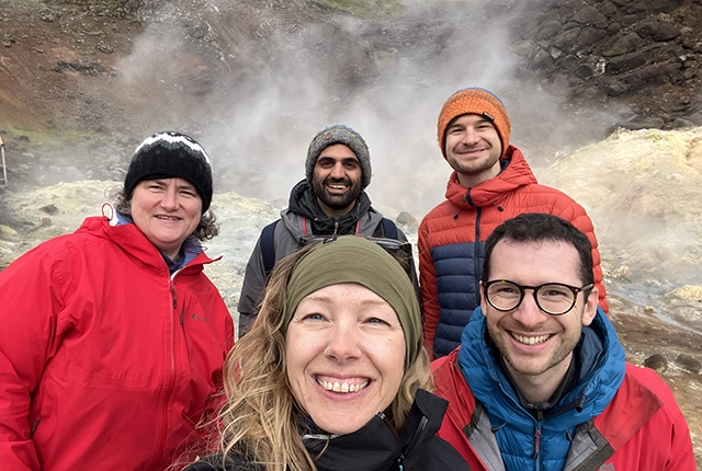
BGS researchers recently visited Iceland as part of a project developing international partnerships and identifying opportunities for future collaborative research.
Updated national 3D model will determine the depth to the solid bedrock beneath our feet
13/07/2026
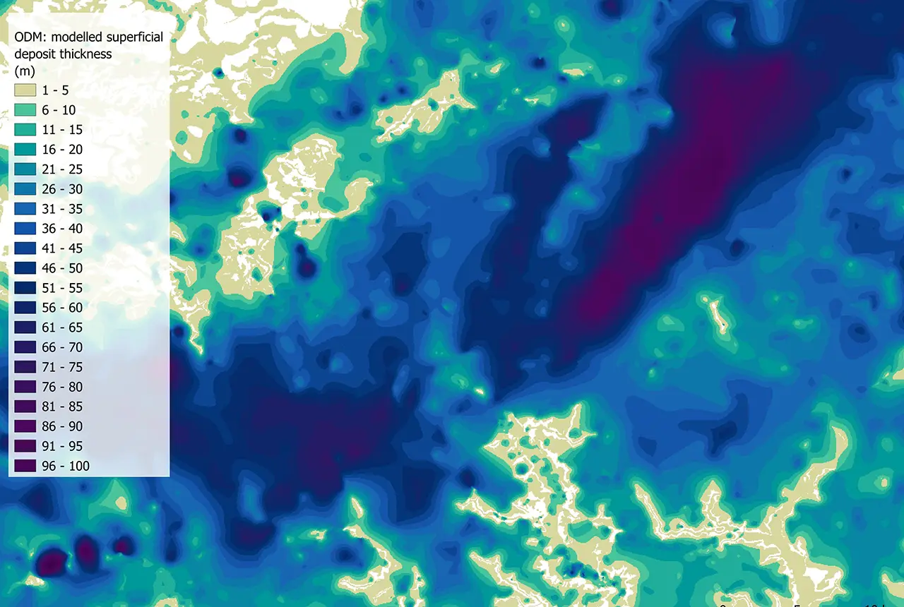
The BGS Superficial Deposit Thickness Model now includes an elevation model of geological rockhead for the first time, providing important data for civil engineers, geoscientists and environmental scientists.
New geological mapping underway to help manage flooding along the River Tweed
08/07/2026
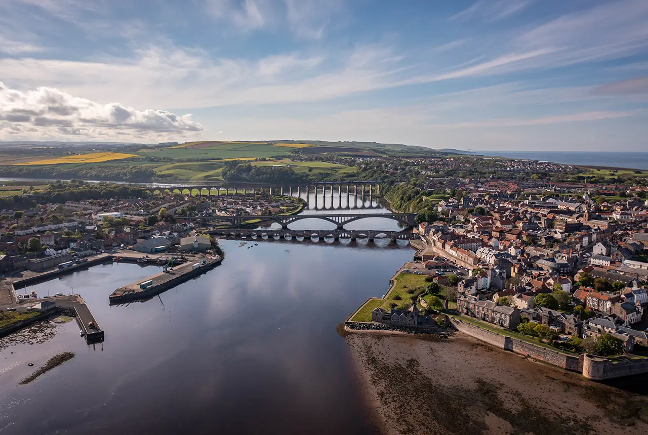
Scientists are surveying the Tweed catchment for the first time in over 100 years to enhance understanding of localised groundwater and improve flood forecasting.
Geological research in North Sea helping to safeguard subsea cables
06/07/2026
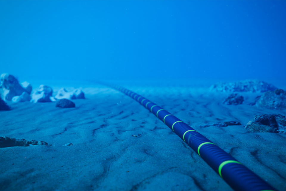
Subsea power and telecommunications cables are critical to the UK’s energy infrastructure and global connectivity, yet they remain vulnerable to damage from ship anchors, fishing activity and natural hazards.
New geological maps of Berwick-upon-Tweed to help future-proof natural water supply
20/05/2026
Scientists have mapped the geology under the town to better understand the groundwater system to inform decisions around abstraction.
UK scientists unite for seabed mapping survey of the UK’s south-west coastline
15/04/2026
BGS geologists join research voyage, gathering crucial geological data to support offshore energy and infrastructure projects.
Isotopes and science: my student placement at BGS
08/04/2026
Industrial placements at BGS for undergraduate students give real-life experience of working in laboratories and learning different analytical techniques.
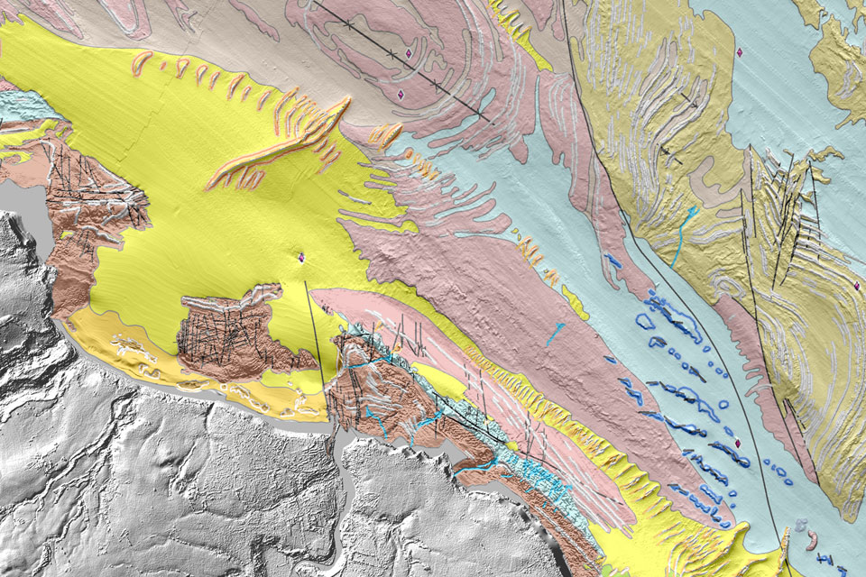
Updated geological assessment of the Southern North Sea set to underpin future offshore infrastructure development
25/03/2026
The first regional assessment for 30 years will support offshore marine and subsurface planning for the UK’s low-carbon energy infrastructure, including the 2030 target of 45 to 50 GW generated through offshore wind.
PhD adventures in Copenhagen, Denmark: revealing past recovery processes of tropical forest systems through ancient environmental DNA
12/03/2026
PhD student Chris Bengt visited the University of Copenhagen to carry out very delicate extraction of aeDNA from lake-sediment cores, in the hopes of unlocking the secrets of past volcanic eruptions.
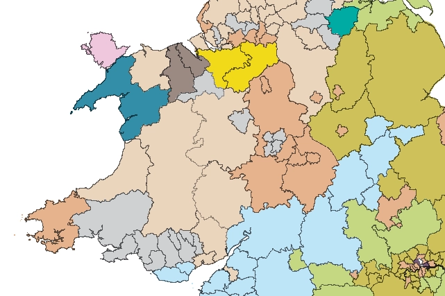
Map of BGS BritPits showing the distribution of worked mineral commodities across the country
18/02/2026
BGS’s data scientists have generated a summary map of the most commonly extracted mineral commodities by local authority area, demonstrating the diverse nature of British mineral resources.