

Geological research in North Sea helping to safeguard subsea cables
Subsea power and telecommunications cables are critical to the UK’s energy infrastructure and global connectivity, yet they remain vulnerable to damage from ship anchors, fishing activity and natural hazards.
06/07/2026 By BGS Press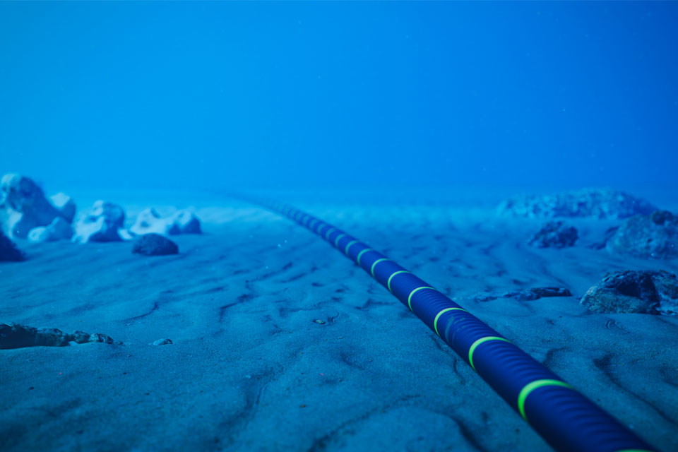

New research by BGS, in collaboration with Durham University and the University of Dundee, shows that the shallow seabed of the North Sea is more geologically complex than typically represented in current cable burial approaches. The findings have important implications for how subsea cables are routed, installed and safeguarded from natural and anthropogenic hazards such as erosion, dredging and ship anchor strikes.
Subsea cables are critical infrastructure arteries, transporting vast quantities of data between countries and connecting offshore energy developments to the UK mainland grid. Due to the nature of their environment and the water depths involved, installing and protecting cables is expensive and logistically complex. This is especially true in the shallow waters around the UK Continental Shelf, where the risk of damage from external hazards is highest.
The most common protection method for subsea cables is burial within the seabed. Widely used guidance such as standard cable-burial risk assessment typically applies simplified, single-soil assumptions that do not fully reflect real-world geological complexity. However, sea-floor geological environments are highly variable, ranging from fine sediments and gravels to shallow bedrock. These differences mean that burial conditions can change over short distances, requiring site-specific understanding rather than a one-size-fits-all approach. Increasing burial depth alone does not necessarily improve protection; deeper installations can significantly increase costs and may introduce additional risks, including overheating of the cable.
As part of an Engineering and Physical Sciences Research Council (EPSRC)‑funded project, ‘Offshore cable burial: how deep is deep enough?’, researchers have produced a new, open-access report that maps and analyses the shallow soils within the upper two metres of the seabed. This is the depth range that is critical for cable burial and protection.
The study integrates over 12 000 geological records from BGS archives and the Crown Estate’s Marine Data Exchange, providing the most detailed regional picture to date of shallow subsurface conditions across the UK North Sea. The results show that layered soils are widespread, with most sites containing multiple layers of different soil types, often with sand overlying clay, gravel, peat or shallow bedrock.
The findings challenge the simplified, single soil assumptions that current risk assessments commonly use and highlight regional contrasts throughout the North Sea. For example, the southern North Sea is largely dominated by surficial sands, whilst the northern North Sea is more geologically variable. Thin gravel layers are widespread, with thicker layers and shallow bedrock occurring more locally, particularly in nearshore areas where burial constraints are greatest. Although less common, organic rich soils and peat are shown to occur mainly beneath thin sand layers where they are not visible from seabed sediment maps alone.
These variations influence how the seabed behaves during cable installation and can influence burial approaches. For instance, depending on the burial method used, coarse layers such as gravels can naturally increase resistance to penetration, whereas finer sediments may require erosion defences to be considered. On the other hand, shallow bedrock or other hard layers may limit achievable burial depths altogether and therefore need additional protection.
Alongside the geological analysis, the project conducted advanced physical and numerical modelling led by the University of Dundee and Durham University, respectively. The research demonstrates how anchors interact with different soil profiles, highlighting the importance of realistic ground models for predicting cable performance and reducing installation risk.
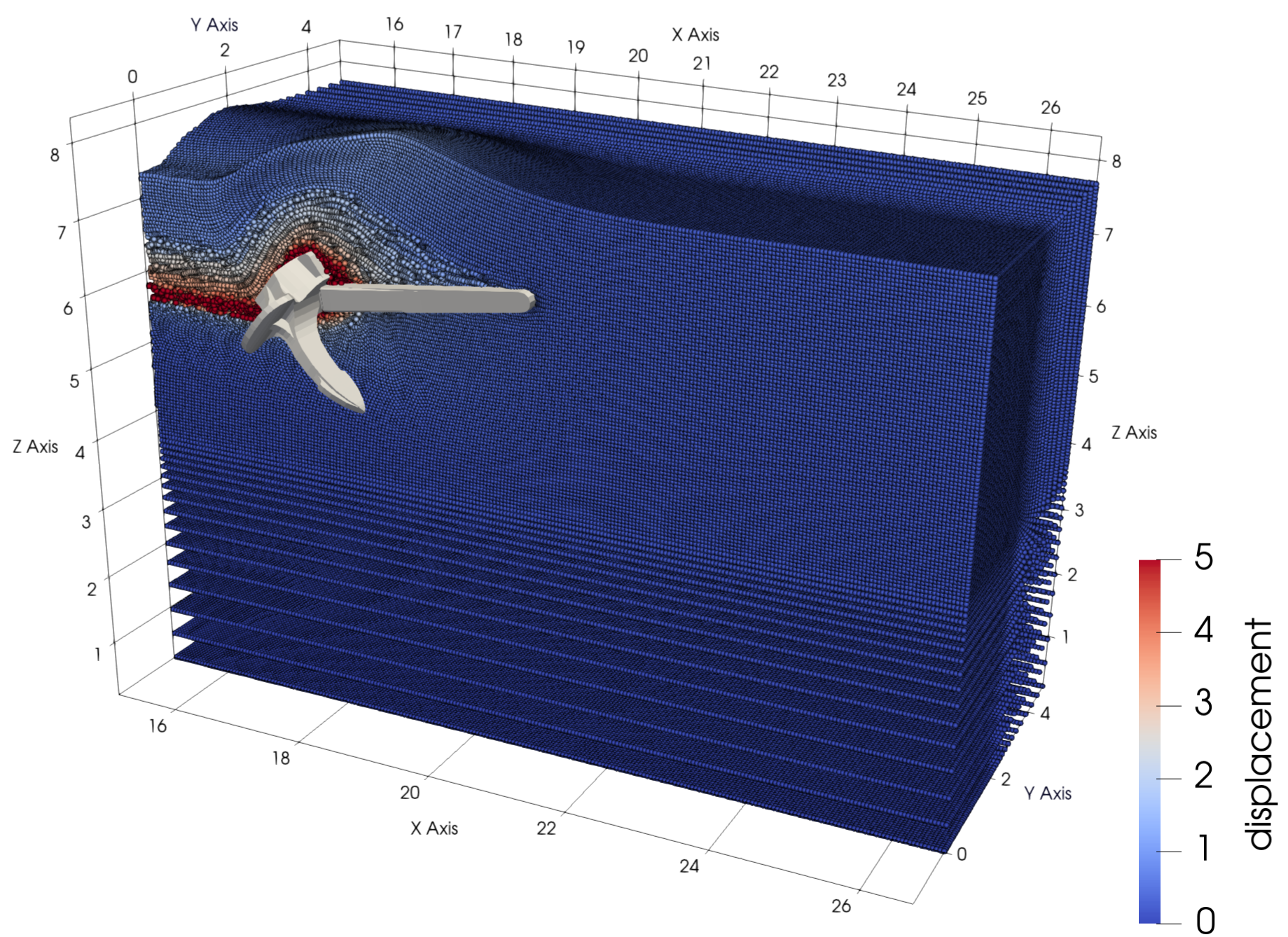
Hall anchor being dragged through undrained, very loose sand. Modelled using the material point method. © Durham University.
Together, the findings provide stronger evidence for early stage cable-route planning and risk screening, and could help inform future updates to cable-burial approaches. By moving beyond simplified seabed classifications, the project enables industry and regulators to make more informed decisions about where and how deeply offshore cables should be buried.

Research by the British Geological Survey has been essential in defining the seabed conditions that must be considered when assessing the anchor‑strike risk to subsea cables. From a numerical modelling perspective, this project represents the culmination of 12 years of advancing the material point method (MPM) for large‑deformation soil/structure interaction. It has delivered a suite of robust, reliable and genuinely predictive modelling capabilities that go beyond what is possible with commercial software. We hope the project’s findings will advance current cable-burial risk assessments by allowing realistic variations in seabed conditions to be captured within the anchor penetration prediction part of the framework.
Prof Will Coombs, professor of computational mechanics in the Department of Engineering, Durham University.
Our work shows that layered seabed conditions are widespread and therefore represent a crucial consideration for decision makers. Improving how we represent and contextualise this variability is key to making better early-stage decisions about cable routing, particularly for more complex projects.
Catriona Macdonald, marine geoscientist, BGS.
From a physical modelling perspective, this project has enabled world-first research, including tracking models underground using wireless technologies. This allows us to better understand how anchors respond to geological complexity and real cable installation environments. This has enabled us to create important datasets and evidence to inform to the next generation of computer-based simulation techniques. Working with BGS has helped us frame our investigation to cover the real-world geological complexity of the North Sea.
Prof Michael Brown, Chair of geotechnical engineering at the University of Dundee.
The approach may also have wider applications in other regions exposed to more complex geohazards, including sediment mobility, submarine landslides, volcanic activity and seismic risk, supporting improved resilience of critical offshore infrastructure.
The final report, along with its accompanying modelling outputs, marks a key milestone in improving our understanding of shallow seabed conditions. It provides a foundation for future work on standardising offshore data and improving cable-burial assessments across the North Sea and the wider UK Continental Shelf.
Relative topics
Related news
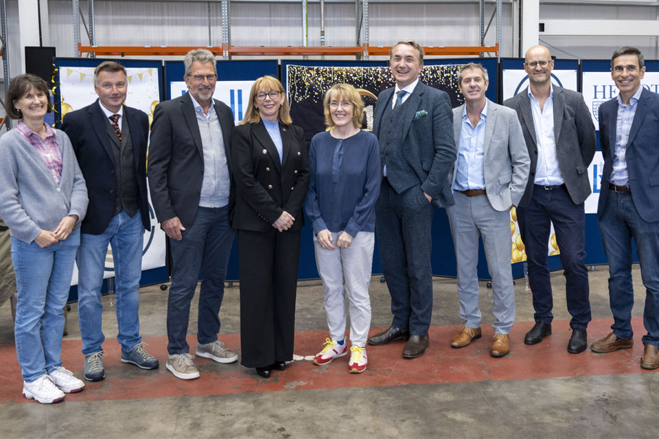
The Lyell Centre celebrates 10 years of world-leading earth and marine science research
07/09/2026
The Lyell Centre for Earth and Marine Sciences, a strategic partnership between Heriot-Watt University and BGS, is celebrating its 10th anniversary, marking a decade of world-leading research, innovation and collaboration in earth and marine sciences.
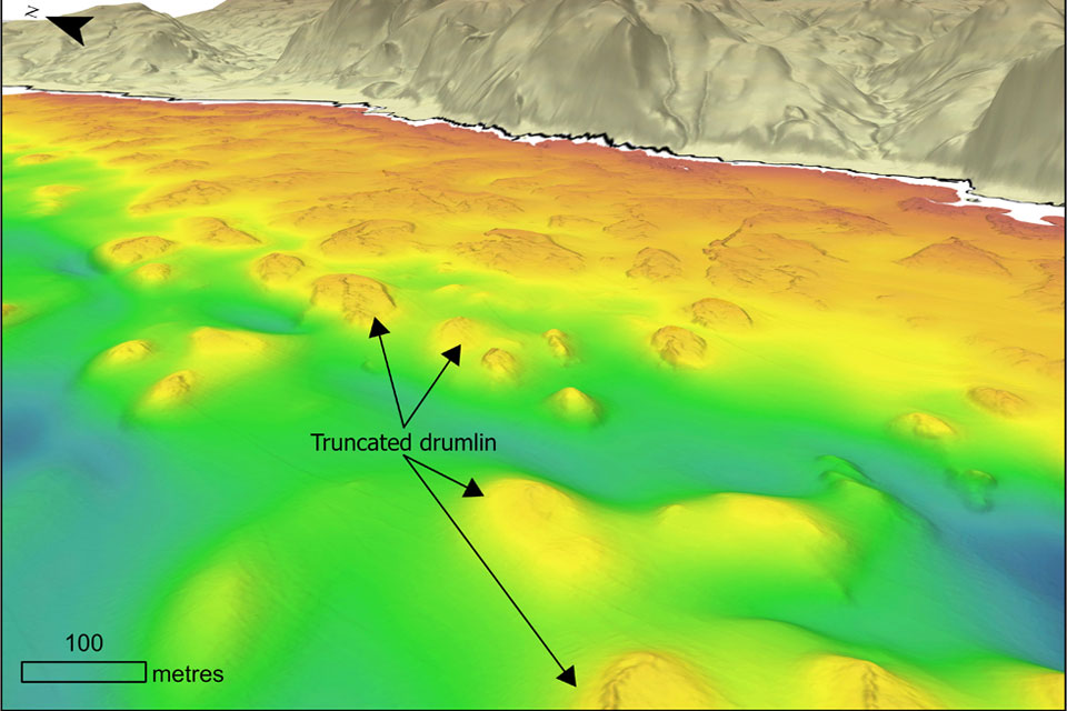
Coastal retreat in the past: the legacy of truncated drumlins
07/08/2026
The UK’s coasts have been responding to changing sea levels for thousands of years, but some of the best evidence of those changes now lies hidden beneath the waves.
BGS strengthens scientific links with Icelandic partners through Research and Innovation Scotland initiative
06/08/2026
BGS researchers recently visited Iceland as part of a project developing international partnerships and identifying opportunities for future collaborative research.
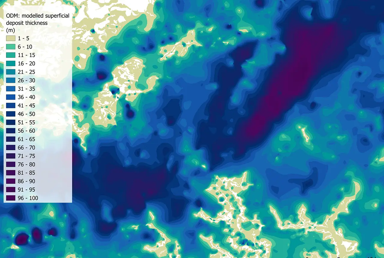
Updated national 3D model will determine the depth to the solid bedrock beneath our feet
13/07/2026
The BGS Superficial Deposit Thickness Model now includes an elevation model of geological rockhead for the first time, providing important data for civil engineers, geoscientists and environmental scientists.
Geological research in North Sea helping to safeguard subsea cables
06/07/2026
Subsea power and telecommunications cables are critical to the UK’s energy infrastructure and global connectivity, yet they remain vulnerable to damage from ship anchors, fishing activity and natural hazards.
UK scientists unite for seabed mapping survey of the UK’s south-west coastline
15/04/2026
BGS geologists join research voyage, gathering crucial geological data to support offshore energy and infrastructure projects.
Isotopes and science: my student placement at BGS
08/04/2026
Industrial placements at BGS for undergraduate students give real-life experience of working in laboratories and learning different analytical techniques.
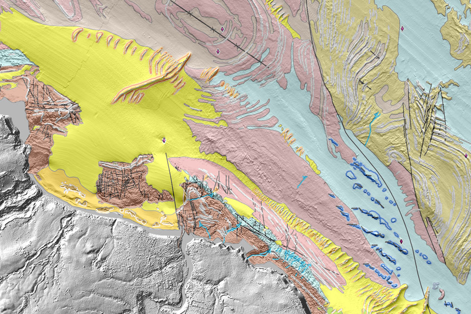
Updated geological assessment of the Southern North Sea set to underpin future offshore infrastructure development
25/03/2026
The first regional assessment for 30 years will support offshore marine and subsurface planning for the UK’s low-carbon energy infrastructure, including the 2030 target of 45 to 50 GW generated through offshore wind.
PhD adventures in Copenhagen, Denmark: revealing past recovery processes of tropical forest systems through ancient environmental DNA
12/03/2026
PhD student Chris Bengt visited the University of Copenhagen to carry out very delicate extraction of aeDNA from lake-sediment cores, in the hopes of unlocking the secrets of past volcanic eruptions.
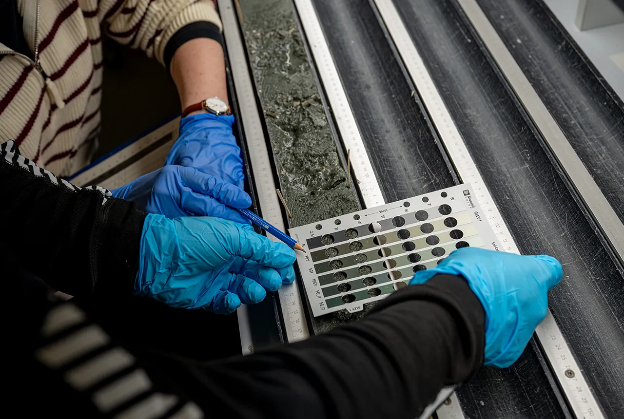
Extensive freshened water confirmed beneath the ocean floor off the coast of New England for the first time
09/02/2026
BGS is part of the international team that has discovered the first detailed evidence of long-suspected, hidden, freshwater aquifers.
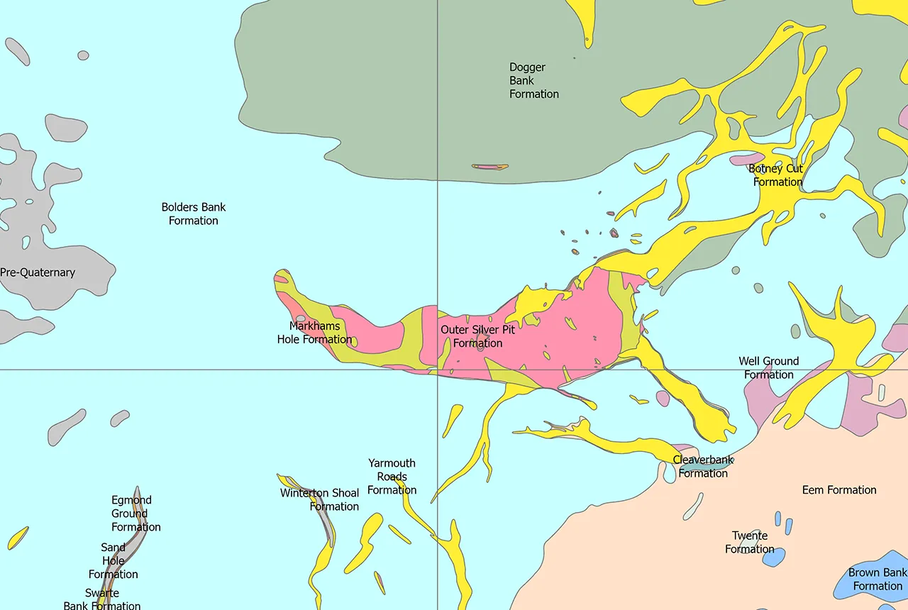
Quaternary UK offshore data digitised for the first time
21/01/2026
The offshore wind industry will be boosted by the digitisation of a dataset showing the Quaternary geology at the seabed and the UK’s shallow subsurface.
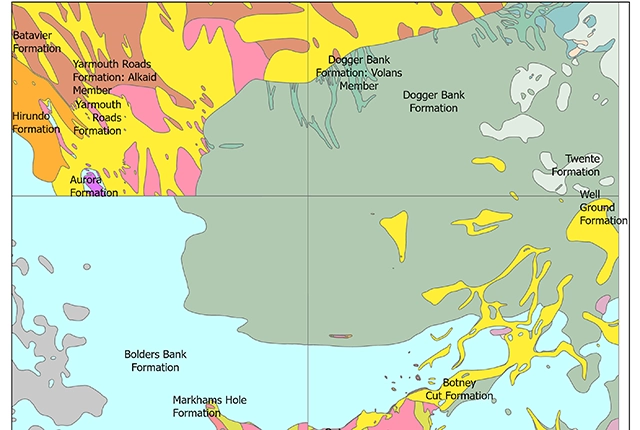
Offshore Quaternary 250K
The 1:250 000-scale offshore geological map for quaternary geology (BGS Geology: marine quaternary 250k) is available digitally.