UK scientists unite for seabed mapping survey of the UK’s south-west coastline
BGS geologists join research voyage, gathering crucial geological data to support offshore energy and infrastructure projects.
15/04/2026 By BGS Press

The UK Centre for Seabed Mapping (UK CSM), a group of over 30 public sector organisations with a shared commitment to collect and share high-quality marine data, will undertake a seabed mapping survey – CSM2026 – to explore and map the seabed along the UK’s south-west coastline.
Throughout the four-week survey, using cutting‑edge survey technology deployed from the Research Vessel Cefas Endeavour, a team of 26 scientists from across the field of maritime research will collect vital hydrographic, geological and environmental data when they set sail from Lowestoft next week.
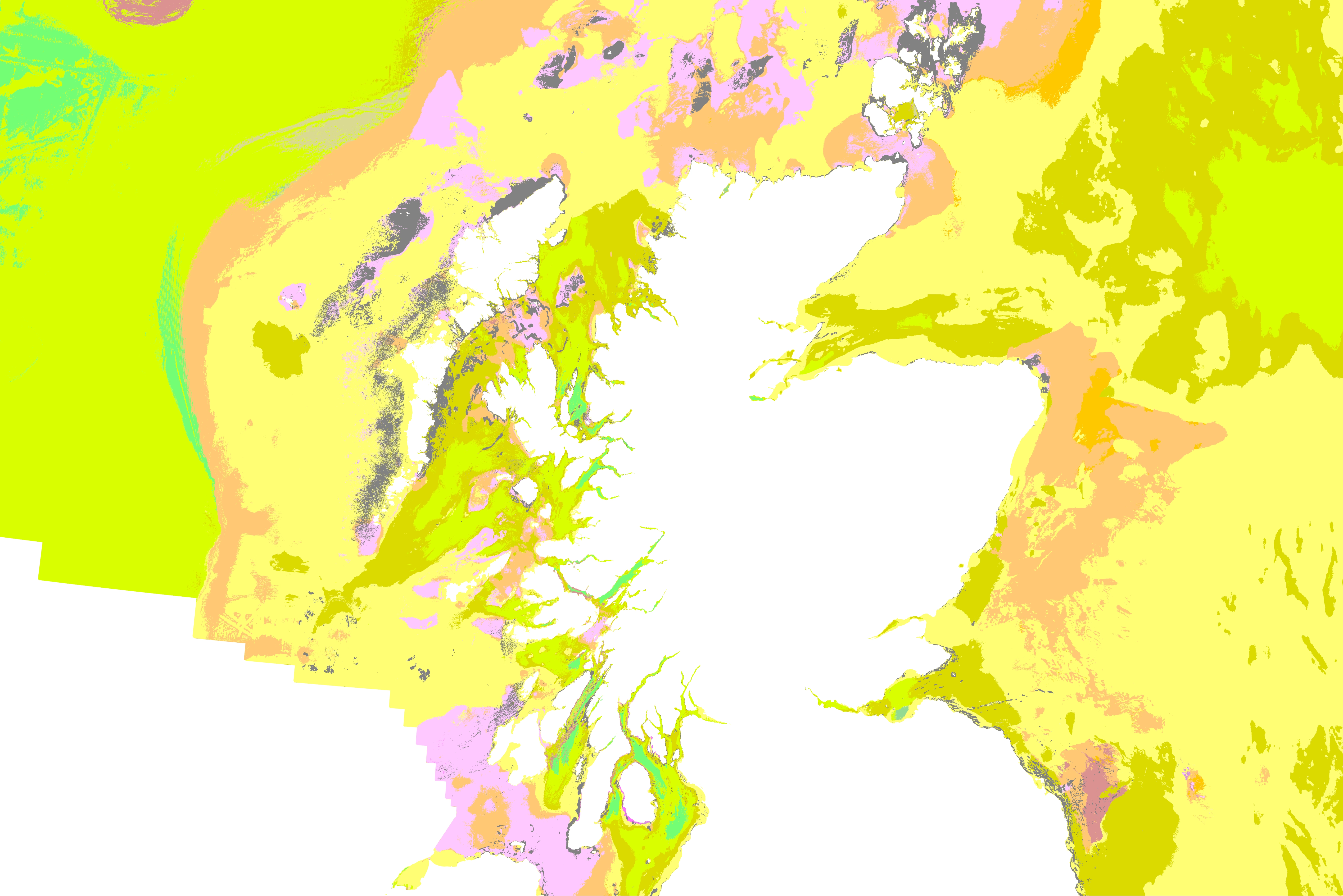
BGS marine geoscientists Dayton Dove and Duncan Stevens will be on board, with a primary focus on acquiring sub-bottom profiler (SBP) data. An SBP is a type of sonar system, emitting sound waves that both reflect off, and penetrate through, the seabed to image the shallow subsurface. Those that penetrate through seabed reflect off the geological layers and buried structures, providing 2D cross-sectional images of the subsurface. This data (and resulting subsurface maps) are required for many offshore infrastructure applications, and importantly also provide further information on the nature, composition, and stability of the seabed itself.
Convening multiple government agencies, the survey represents an unprecedented level of collaboration within the maritime sector. By combining their skills and capabilities in a single survey, the team aim to secure data to deliver the UK government’s commitments and make advances in how our seabed is mapped, understood and managed.
BGS are one of eleven UK CSM member organisations, which also includes: the Maritime and Coastguard Agency (MCA); the UK Hydrographic Office (UKHO); Centre for Environment, Fisheries and Aquaculture Science (Cefas); Department for Environment, Food & Rural Affairs (Defra), The Crown Estate; Historic England; Joint Nature Conservation Committee (JNCC); Agri-Food and Biosciences Institute, Northern Ireland (AFBI); Natural England and the Royal Navy.
Over the course of the survey, the scientists on board will have the opportunity to work with experts from other public sector organisations, share skills, and source key seabed mapping data that supports a wide range of applications including offshore energy and infrastructure, marine ecosystem science, safety at sea, marine policy, and defence. The four-week research survey is due to take place between 20 April and 19 May. This will consist of two survey legs, starting in Lowestoft, Suffolk and ending in Falmouth, Cornwall. All organisations are supporting the planning of alternative sites to maximise the opportunity.

“This is the first time that such a large-scale, multi-agency, collaborative survey has been undertaken in the UK and it’s a really exciting venture. We are fortunate to have expert scientists and surveyors from across government who will collect a wide range of highly valuable data. The partnership approach provides opportunities to share knowledge and expertise, as well as providing invaluable training and offshore fieldwork experience.
“The alliance of organisations is working together to increase efficiencies for data collection, processing and analysis under the gather once, use many times philosophy.
“Seabed mapping data provides the UK with a foundational basemap of its marine estate. Such valuable datasets are increasingly underpinning the maritime economy and energy security, enabling sustainable management of marine resources, development of marine policies and planning, and improves our understanding of the marine environment.”
Andrew Colenutt, Chair of the CSM2026 Project Team and Head of Hydrography and Meteorology at the MCA
“The UK CSM has proven to be an excellent forum for marine surveyors, scientists, and managers from across the UK public sector, increasing awareness, collaboration, and visibility of a disparate range of seabed mapping activities and applications.
This survey is an excellent opportunity for drawing the diverse expertise from across the UKCSM, and of particular significance for geoscientists, will include the collection of sub-bottom profiler (SBP) data. BGS has advocated for acquiring SBP data on hydrographic surveyors in order to provide crucial sub-surface data for a range of applications.
Scientists and decision-makers working in the offshore environment are reliant on high-quality seabed data to inform the siting, design, and installation of offshore infrastructure projects, such as Offshore Wind installations, habitat and ecosystem mapping, archaeology, marine aggregates, coastal erosion and management, and baseline geological and environmental science.”
Dayton Dove, BGS Marine Geoscientist
“This joint survey is a fantastic example of what public sector collaboration can achieve when expertise, capability and purpose are aligned. By bringing together organisations from across the UK maritime sector through the UK Centre for Seabed Mapping (UK CSM), we are not only improving how the seabed is mapped, but deepening our collective understanding of the ocean environment, while also providing an opportunity for various experts to learn from one another.
“High‑quality seabed mapping underpins everything from safety at sea and environmental protection to sustainable development and supporting national security. Working together through the UK CSM allows us to maximise the value of data, share knowledge, and deliver insights that no single organisation could achieve alone”
Rear Admiral Angus Essenhigh OBE, UK National Hydrographer & Director of Data Acquisition at the UKHO and chair of the UK CSM Steering Committee
About the UK Centre for Seabed Mapping (UK CSM)
The UK Centre for Seabed Mapping, administered by the UKHO, was established in 2022 and coordinates the collection, management and access of seabed mapping data. Through collaboration, the UK CSM aims to improve understanding of the UK’s maritime estate and inform the effective management of marine resources. There are currently over 30 public sector organisations who are members of the UK CSM with an interest in marine geospatial information and data.
Relative topics
Related news

Geological research in North Sea helping to safeguard subsea cables
06/07/2026
Subsea power and telecommunications cables are critical to the UK’s energy infrastructure and global connectivity, yet they remain vulnerable to damage from ship anchors, fishing activity and natural hazards.
UK scientists unite for seabed mapping survey of the UK’s south-west coastline
15/04/2026
BGS geologists join research voyage, gathering crucial geological data to support offshore energy and infrastructure projects.

Updated geological assessment of the Southern North Sea set to underpin future offshore infrastructure development
25/03/2026
The first regional assessment for 30 years will support offshore marine and subsurface planning for the UK’s low-carbon energy infrastructure, including the 2030 target of 45 to 50 GW generated through offshore wind.

Extensive freshened water confirmed beneath the ocean floor off the coast of New England for the first time
09/02/2026
BGS is part of the international team that has discovered the first detailed evidence of long-suspected, hidden, freshwater aquifers.

Quaternary UK offshore data digitised for the first time
21/01/2026
The offshore wind industry will be boosted by the digitisation of a dataset showing the Quaternary geology at the seabed and the UK’s shallow subsurface.

Offshore Quaternary 250K
The 1:250 000-scale offshore geological map for quaternary geology (BGS Geology: marine quaternary 250k) is available digitally.

How the geology on our doorstep can help inform offshore infrastructure design
19/11/2025
BGS is part of a new collaboration using onshore field work to contextualise offshore data and update baseline geological models which can inform the sustainable use of marine resources.

Extended seabed geology map of the Bristol Channel published
07/10/2025
BGS has released significantly extended high-resolution maps that will support offshore green-energy initiatives in the area.

New seabed sediment maps reveal what lies beneath the waves
03/09/2025
Marine ecosystem science and offshore infrastructure will be boosted by a new dataset showing sediment composition across the UK continental shelf.

Seabed sediments 250K
This offshore Quaternary geology dataset shows the distribution of interpreted lithostratigraphical units within the shallow subsurface. The dataset represents the Quaternary geology immediately beneath the active seabed sediment layer.

Offshore bedrock 250K
The BGS Offshore Bedrock 250k dataset depicts the distribution of the different types of bedrock on the UK Continental Shelf.
BGS Predictive Seabed Sediments (UK)
The BGS Predictive Seabed_Sediments (UK) data provide digital maps of seabed sediment (SBS) composition across the UK Continental Shelf (UKCS).