

New seabed sediment maps reveal what lies beneath the waves
Marine ecosystem science and offshore infrastructure will be boosted by a new dataset showing sediment composition across the UK continental shelf.
03/09/2025 By BGS Press

Characterising the distribution of seabed sediments (SBS) is critical for a wide range of applications, including:
- habitat mapping
- marine ecosystem science
- mineral and aggregates assessments
- offshore infrastructure siting and monitoring
- defence
- shipping
- coastal management
BGS has developed the new national-scale BGS Predictive Seabed Sediments (UK) dataset aimed at supporting these applications. The dataset comprises four digital maps that portray SBS composition, including a classified map of sediment types, as well as the predicted proportions of gravel, sand and mud across the UK continental shelf.
These detailed maps are based on about 40 000 sample measurements, as well as numerous physical covariates that relate to the spatial distribution of SBS. They were generated with the assistance of machine learning.
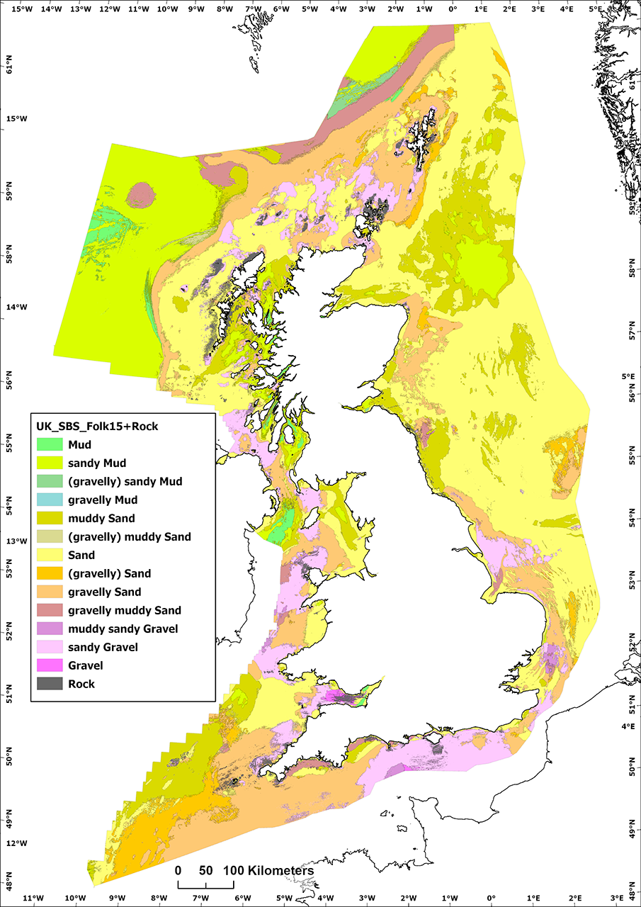
Classified seabed sediment map of the UK continental shelf. BGS © UKRI.
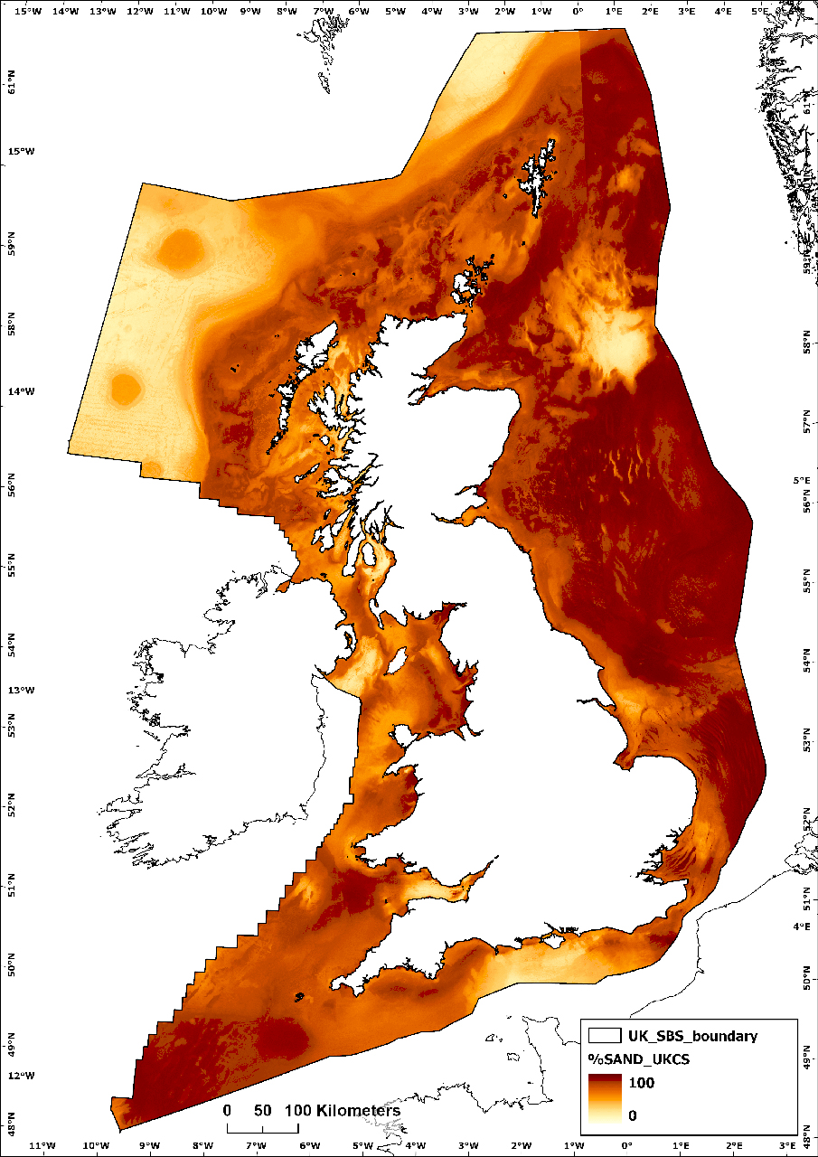
Predicted proportion of sand in the UK continental shelf. BGS © UKRI.

Understanding the nature of the seabed is fundamental for many offshore activities, from understanding benthic habitats and carbon stores to effectively designing and installing offshore infrastructure, including wind turbines and submarine cables.
Seabed sediments lie at the interface between the water column above and the variable geological substrate below. To an extent, they can be considered similar to the soil layer on land, but offshore sediments are exposed to dynamic marine conditions and are therefore potentially transitory and mobile over variable timescales, for example, during tidal, seasonal and storm cycles.
We hope that the release of the new BGS Predictive Seabed Sediments (UK) dataset will provide a useful free resource for many users, including researchers, developers and marine managers.
Dayton Dove, marine geoscientist at BGS.
The BGS Predictive Seabed Sediments (UK) dataset is now freely available to download under the Open Government Licence (OGL) and can be used in combination with other thematic BGS 250K datasets that are also now available via OGL, such as bedrock geology. It can also be used with our more recently produced, high-resolution seabed geology mapping.
The Joint Nature Conservation Committee provided initial co-funding and supported this project.
Related news

New project mapping UK Continental Shelf provides boost to offshore infrastructure and development
22/10/2026
BGS is leading a three-year project funded by The Crown Estate to develop a new suite of seabed geology datasets and reports, providing crucial information for offshore developers about the seabed around the UK.

The Lyell Centre celebrates 10 years of world-leading earth and marine science research
07/09/2026
The Lyell Centre for Earth and Marine Sciences, a strategic partnership between Heriot-Watt University and BGS, is celebrating its 10th anniversary, marking a decade of world-leading research, innovation and collaboration in earth and marine sciences.
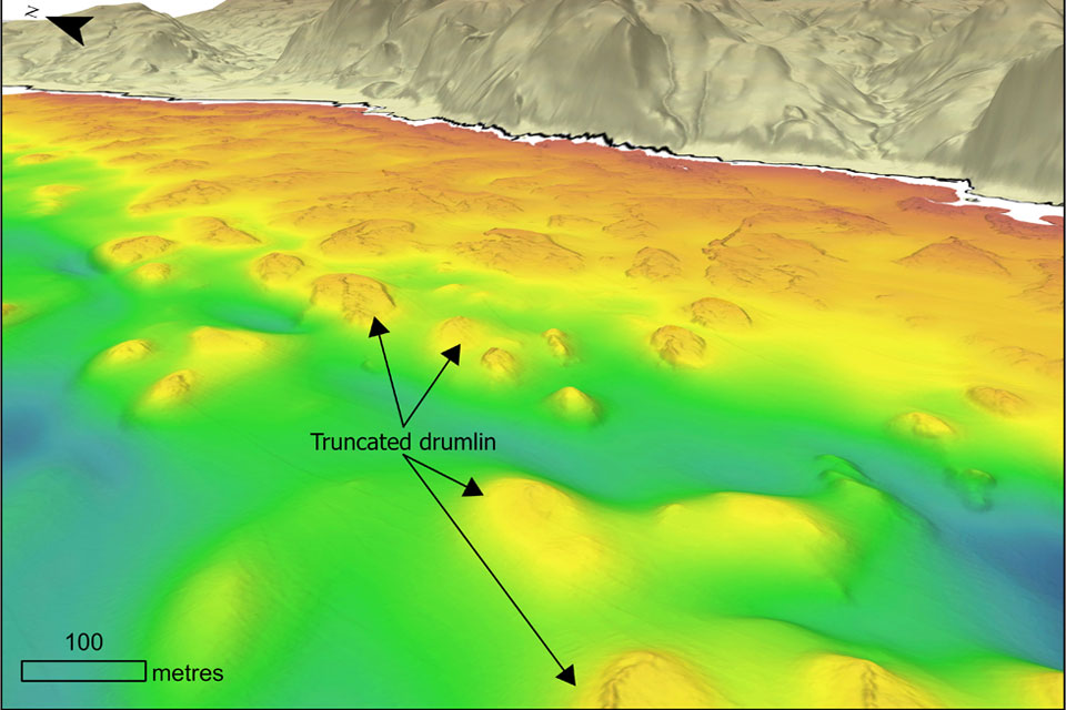
Coastal retreat in the past: the legacy of truncated drumlins
07/08/2026
The UK’s coasts have been responding to changing sea levels for thousands of years, but some of the best evidence of those changes now lies hidden beneath the waves.
BGS strengthens scientific links with Icelandic partners through Research and Innovation Scotland initiative
06/08/2026
BGS researchers recently visited Iceland as part of a project developing international partnerships and identifying opportunities for future collaborative research.
Updated national 3D model will determine the depth to the solid bedrock beneath our feet
13/07/2026
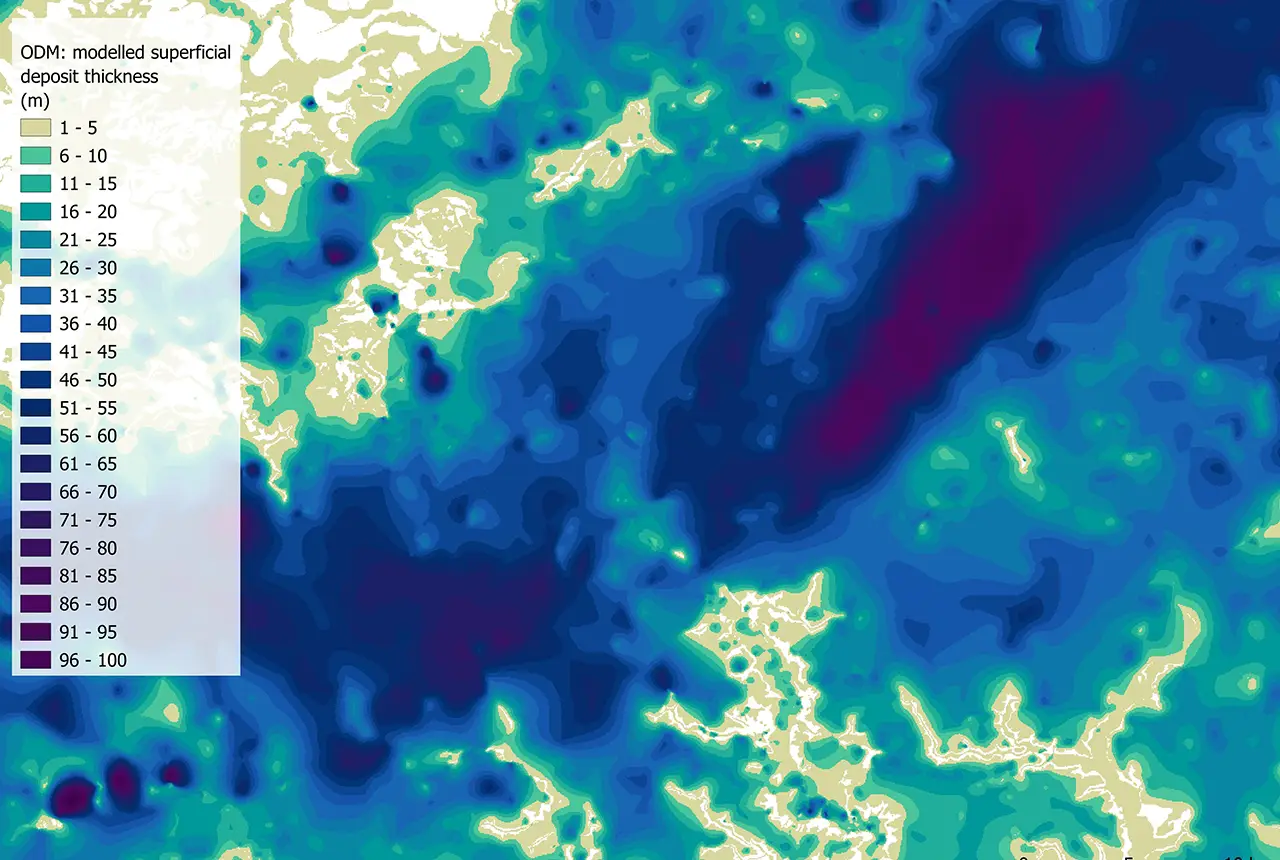
The BGS Superficial Deposit Thickness Model now includes an elevation model of geological rockhead for the first time, providing important data for civil engineers, geoscientists and environmental scientists.

New geological mapping underway to help manage flooding along the River Tweed
08/07/2026
Scientists are surveying the Tweed catchment for the first time in over 100 years to enhance understanding of localised groundwater and improve flood forecasting.

Geological research in North Sea helping to safeguard subsea cables
06/07/2026
Subsea power and telecommunications cables are critical to the UK’s energy infrastructure and global connectivity, yet they remain vulnerable to damage from ship anchors, fishing activity and natural hazards.
From archive to discovery: historical mineral reports support gold exploration in Scotland
25/06/2026
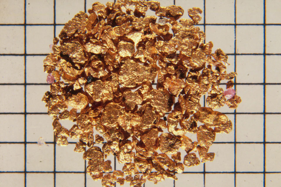
Digitised geological records show potential to unlock untapped mineral resources in Ardlochan, Argyllshire.

Ukraine and the UK strengthen their commitment to geological cooperation
10/06/2026
A new Memorandum of Understanding reaffirms the UK’s support of Ukraine’s ambitions to develop its critical mineral resources, paving the way for collaboration through capacity-building programmes.
New geological maps of Berwick-upon-Tweed to help future-proof natural water supply
20/05/2026
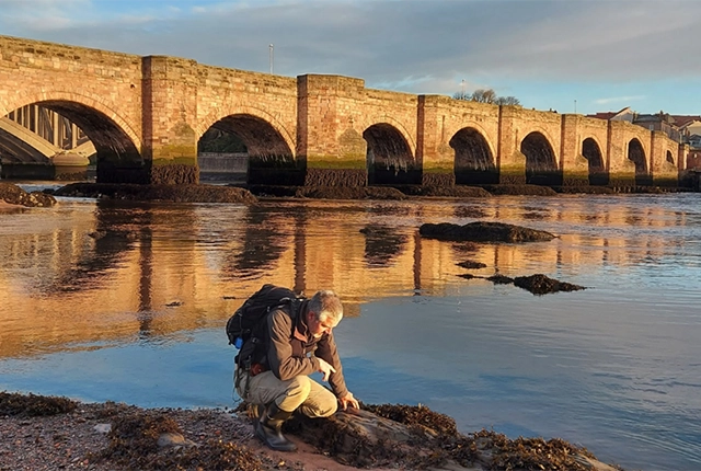
Scientists have mapped the geology under the town to better understand the groundwater system to inform decisions around abstraction.
BGS GeoClimate – dataset launch webinar
Event on 02/06/2026
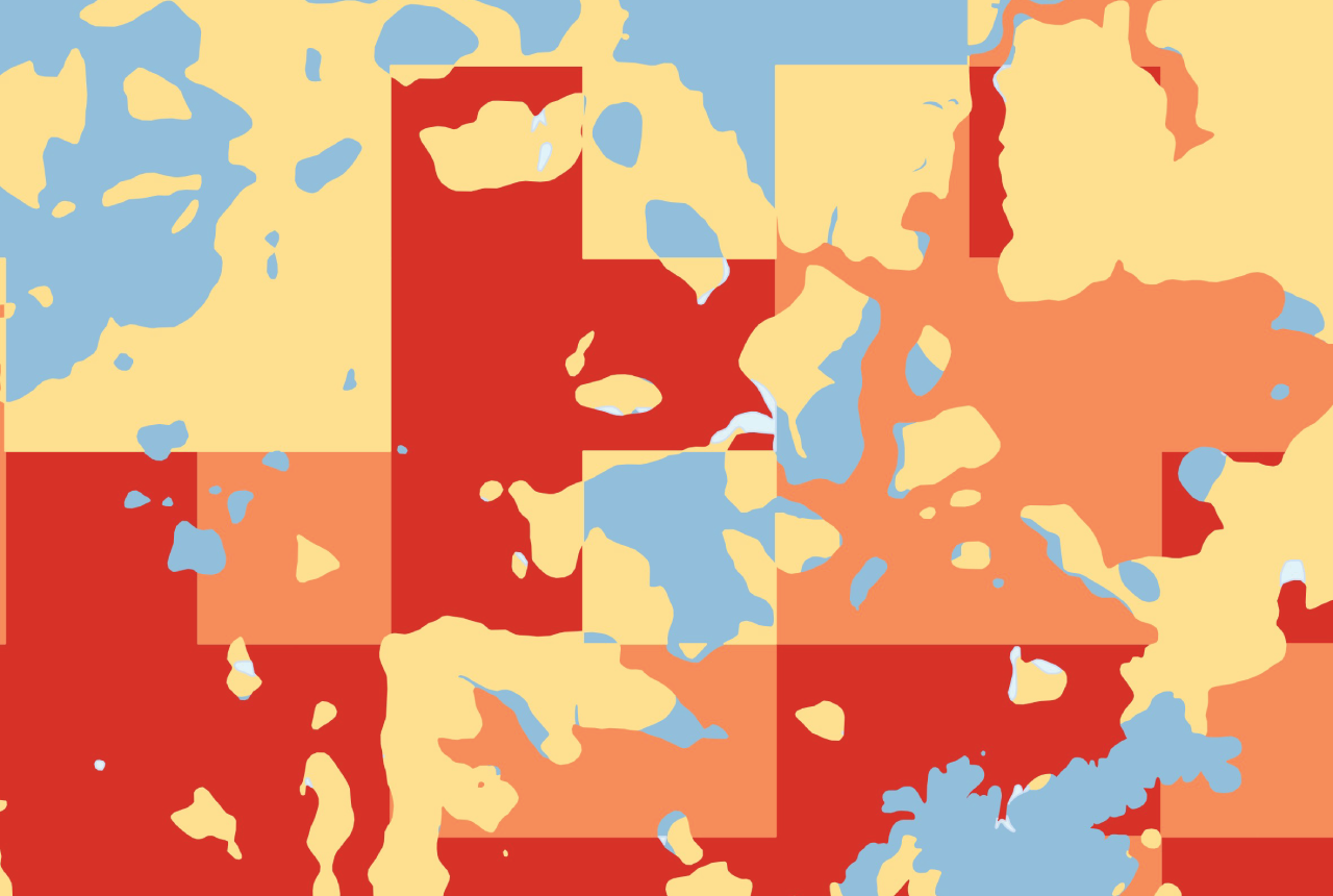
The virtual launch of our new BGS GeoClimate dataset – helping mitigate the economic risk from shrink-swell subsidence. Event recording now available

UK scientists unite for seabed mapping survey of the UK’s south-west coastline
15/04/2026
BGS geologists join research voyage, gathering crucial geological data to support offshore energy and infrastructure projects.