

Coastal retreat in the past: the legacy of truncated drumlins
The UK's coasts have been responding to changing sea levels for thousands of years, but some of the best evidence of those changes now lies hidden beneath the waves.
07/08/2026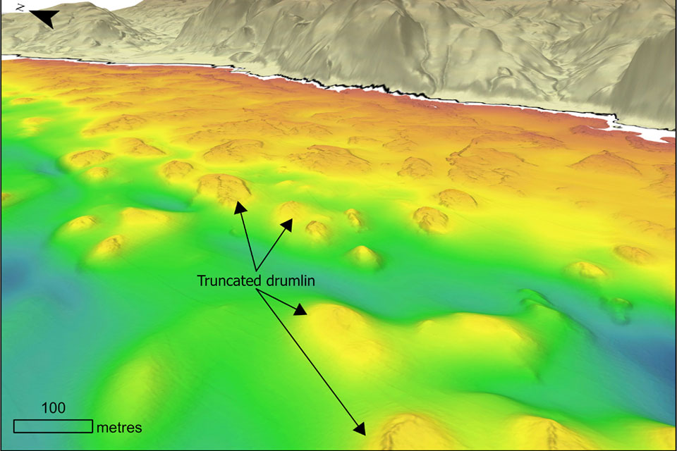

As sea levels continue to rise today, coastlines around the world are changing before our eyes. Cliffs retreat, beaches migrate and storms re-shape the shoreline. However, these processes are not new.
Scotland after the last glacial maximum
Around 20 000 years ago, Scotland and much of Britain were buried beneath the British–Irish ice sheet. As the climate warmed, the ice gradually retreated, leaving behind a landscape sculpted by ice. Among the most distinctive features are drumlins: teardrop-shaped hills with rounded crests, commonly formed of glacial sediment deposited beneath flowing ice and often occurring in large ‘swarms’.
The contraction and eventual disappearance of the ice also triggered changes in relative sea level. Globally, melting ice sheets caused sea levels to rise while locally, the land itself slowly rebounded (the amount varies with geography) after being released from the enormous weight of the ice sheets. These competing processes meant that coastlines continually shifted position through time, with some areas submerged while others emerged from the sea.
Hidden coastlines beneath the sea
Recent advances in high-resolution seabed mapping have revealed extensive fields of submerged drumlins across the Irish Sea and along Scotland’s west coast. Although these landforms were created beneath the last British–Irish ice sheet, many no longer preserve their typical rounded crests. Instead, numerous drumlins display flat-topped or truncated morphologies associated with gravel tails, tombolos, spits and gravel barriers. These assemblages closely resemble modern eroding drumlin coasts observed in western Ireland and eastern North America, where wave action progressively removes sediment from drumlin coasts and redistributes it along the shoreline.
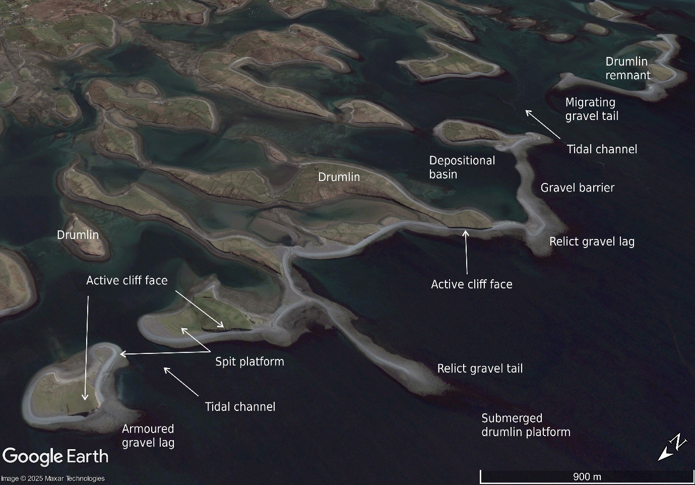
The actively retreating drumlin coast and archipelago in Clew Bay, Ireland. Drumlin sediments from multiple point sources are reworked by waves and longshore drift into prograding, cuspate spits, forming often gravel barriers that link drumlin islands. The progressive erosion of drumlin islands over time eventually leads to a flattened irregular platform with relict gravel tails or ridges. Maxar Technologies image dated 4/5/2007 courtesy of Google Earth.
BGS scientists have therefore interpreted the submerged drumlins as the product of wave erosion during periods when relative sea level remained lower than today. As sea levels subsequently rose, the former shorelines were drowned and preserved beneath the sea. They provide geomorphological evidence of past coastal positions and former relative sea-level lowstands.
Why do these ancient shorelines matter?
Reconstructing past relative sea level is essential for understanding how the British landscape evolved following deglaciation. Existing reconstructions are based largely on glacial isostatic adjustment (GIA) models, which simulate the combined effects of global sea-level change and uplift of the Earth’s crust following ice-sheet retreat. The submerged, truncated drumlins provide an independent geomorphological record against which these models can be tested. At several locations, the depths of the truncated surfaces indicate sea-level lowstands that are lower than those predicted by current GIA models, suggesting that regional reconstructions may require refinement.
These findings demonstrate the value of submarine geomorphology for improving our understanding of post-glacial coastal evolution. As increasingly detailed seabed mapping becomes available, submerged landscapes are providing new evidence to refine sea-level reconstructions and improve our understanding of how coastlines responded to environmental change following the last ice age.
Access the research paper
Truncated drumlins and their implication for past sea level reconstructions

Dr Riccardo Arosio
Marine geoscientist
Relative topics
Latest blogs

Measuring the environmental impacts of carbon fibre: life cycle assessment
01/09/2026
Undergraduate student Phoebe Brown visited BGS to understand the life cycle of carbon fibre, from primary production to recycling.
Experiences from our Commonwealth Fellowship at the British Geological Survey
24/08/2026
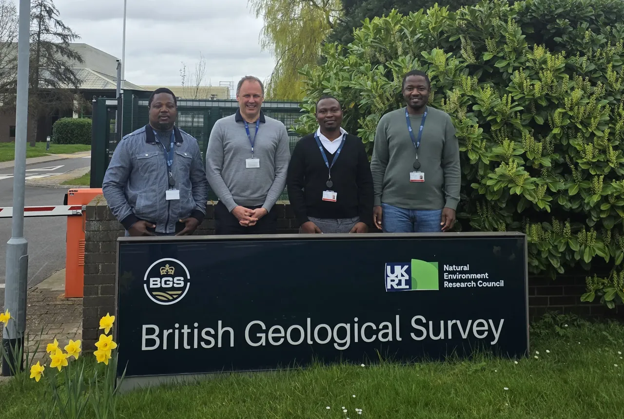
Scientific fellowships foster professional growth, international collaboration and exposure to world-class research environments. A group of visiting Commonwealth Fellowship researchers share their experience of being hosted at the BGS Inorganic Geochemistry Facility.
Coastal retreat in the past: the legacy of truncated drumlins
07/08/2026
The UK’s coasts have been responding to changing sea levels for thousands of years, but some of the best evidence of those changes now lies hidden beneath the waves.
BGS strengthens scientific links with Icelandic partners through Research and Innovation Scotland initiative
06/08/2026
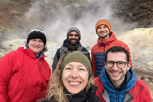
BGS researchers recently visited Iceland as part of a project developing international partnerships and identifying opportunities for future collaborative research.
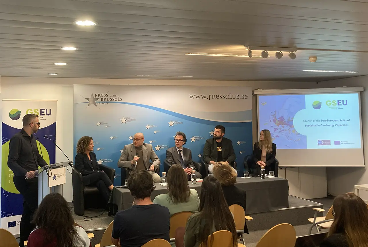
Building Europe’s geological future
20/07/2026
BGS scientists are contributing to a continent-wide initiative that is strengthening collaboration across borders to tackle shared subsurface challenges and unlock new opportunities.
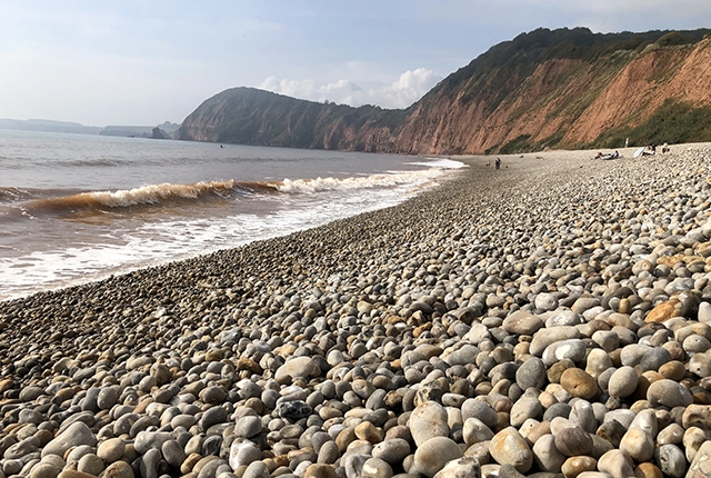
Collecting beach pebbles: fun hobby but is it legal?
14/07/2026
The UK coastline will be inundated with keen holidaymakers this summer, many of whom will take a memento of their trip home in the shape of a pebble or two — but is it legal?
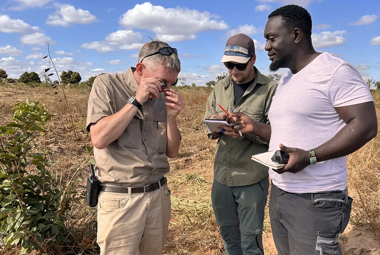
Strengthening capacity through partnership: a critical minerals perspective
28/04/2026
BGS has been working in partnership with the Geological Survey Department of Zambia (GSD) to build national capacity, improve data accessibility and support long-term, sustainable development.
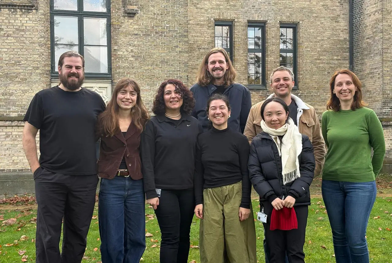
PhD adventures in Copenhagen, Denmark: revealing past recovery processes of tropical forest systems through ancient environmental DNA
12/03/2026
PhD student Chris Bengt visited the University of Copenhagen to carry out very delicate extraction of aeDNA from lake-sediment cores, in the hopes of unlocking the secrets of past volcanic eruptions.
MARC Conference 2025: highlighting the importance of conferences to PhD students
16/02/2026
BGS and University of Nottingham PhD student Paulina Baranowska shares her experience presenting her research on nuclear forensics at her first international conference.

Hole-y c*@p! How bat excrement is sculpting Borneo’s hidden caves
23/12/2025
BGS researchers have delved into Borneo’s underworld to learn more about how guano deposited by bats and cave-dwelling birds is shaping the subsurface.
How the geology on our doorstep can help inform offshore infrastructure design
19/11/2025
BGS is part of a new collaboration using onshore field work to contextualise offshore data and update baseline geological models which can inform the sustainable use of marine resources.

Fieldwork on Volcán de Fuego
13/10/2025
Understanding how one of the world’s most active volcanoes builds up material, and how they collapse to feed hot flows