Relative topics
12 results for "coastal vulnerability"
What does the next generation of coastal environmental models look like?
A new tool is now available that has been designed to help coastal engineers and practitioners better manage the compound risk of coastal erosion and flooding.
Spotlight on BGS coastal erosion data
BGS GeoCoast data can support researchers and practitioners facing coastal erosion adaptation challenges along our coastline.
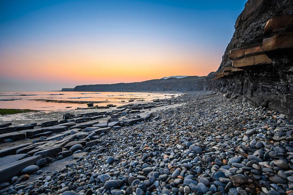
BGS to lead new research project on barrier systems to support more sustainable coastal management
Scientists at BGS will lead a new four-year project that will enhance our understanding of gravel barrier systems across the coastlines of the UK.

Island groundwater management in the Philippines: part one — Boracay
BGS’s Andy Barkwith and Andy McKenzie travelled to the Philippines to undertake collaborative research and outreach with Filipino partners for a national hydrological modelling project. In this first blog, they discuss the first week of work on small islands.
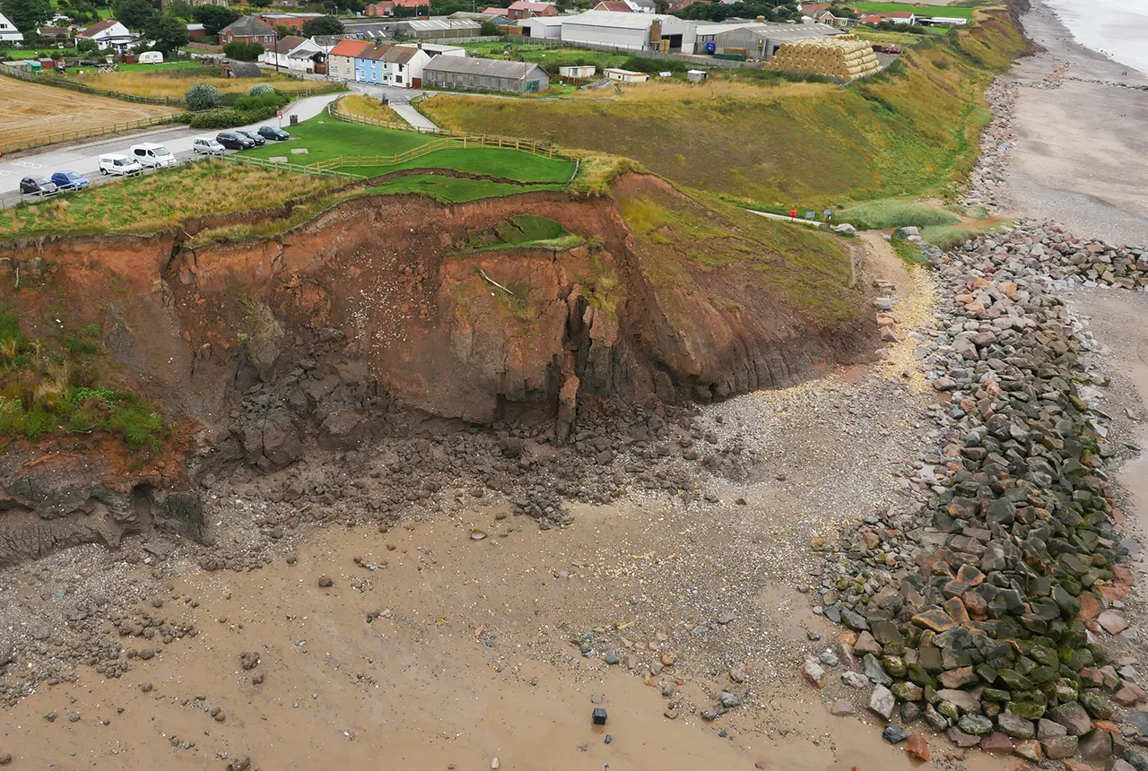
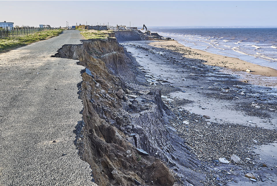
Hemsby coastal erosion: the scale of the transformational challenge around the coastlines of England and Wales
The recent closure of Hemsby beach in Norfolk provides key information on the transformational challenge of coasts around England and evidence of historical change along the coastlines of England and Wales.
Introducing GeoCoast: new coastal datasets from BGS
GeoCoast is an integrated GIS package of datasets designed to inform and support coastal management and adaptation.
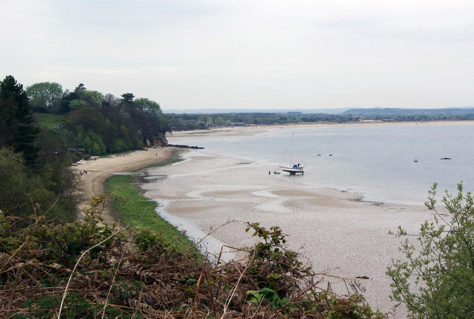
Six changing coastlines and how climate change could affect them
We explore how parts of the British coastline are changing and what important factors we should consider in terms of natural hazards, adaptation and resilience.
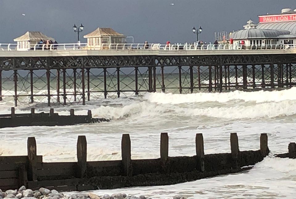
Sea level rise and coastal erosion: what’s the real impact?
How much of an issue are coastal vulnerabilities and what do we need to consider to increase our resilience to future events?