Hemsby coastal erosion: the scale of the transformational challenge around the coastlines of England and Wales
The recent closure of Hemsby beach in Norfolk provides key information on the transformational challenge of coasts around England and evidence of historical change along the coastlines of England and Wales.
24/03/2023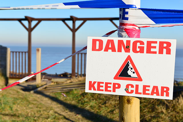

On 25 February 2023, Hemsby beach in Norfolk was closed off to the public due to significant coastal erosion. Over the following days, homes and properties on the cliff were evacuated, with some collapsing into the sea because of this loss of land.
The coastal frontage at Hemsby comprises a narrow zone of vegetated sand dunes of very loosely consolidated sand, situated behind a narrow beach. Its weak geology makes the coastline susceptible to this erosion.

Beaches are great natural coastal defences because they act to dissipate wave energy, but at Hemsby, because the beach is so narrow, the erosional susceptibility of the geology is enhanced because of direct wave action on the cliffs. This occurs under both normal tidal and weather conditions and especially during high tides and storms. There is unfortunately a long history of coastal erosion at Hemsby, documented in a wide range of historical (and more modern) accounts.
Jonathan Lee, BGS Regional Geologist.
BGS research at Hemsby
The BGS Coasts and Estuaries team has been studying the Hemsby coastline by looking at historic and current coastal change as part of the ‘Coastal monitoring and historical coastal change’ project. The team reviewed historical evidence, which suggested that the annual cliff recession rate of UK coastlines can vary from almost nothing, if the beach is wide and thick enough, up to as much as 25 m in a single year if the beach is narrow and thin. We are working to understand whether we will see more of these events in the future under different climates and management interventions.
Property owners along non-defended coast in north Norfolk should be aware of the direct relationship between a beach wedge (combined beach width and thickness) and the level of protection. Once the beach wedge is below 10 m2 per metre of beach length, the protection offered by the beach is negligible and the cliff retreat is controlled by the combination of high tides and moderate energy waves (also known as multi-hazards).
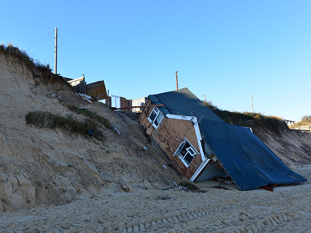
A property destroyed by erosion after the storm surge of 15 December 2013 in Hemsby, Norfolk. BGS © UKRI.
Other risks around the coast
Hemsby is not the only erosion hotspot that needs a transformational change in England. The scale of shift at the coast is significant and requires long-term strategic planning involving collaboration across all scales, levels and sectors of government, academics, consultants and communities.
A recent paper by the coasts and estuaries team explores the scale of the adaptation challenge sea level rise poses and how flood risks may change around England’s coast. The paper confronts the importance of accepting the challenge we as a country face regarding coastlines and calls attention to the need to have honest debates around how we respond fairly and sustainably to coastal erosion in the longer term. We must realise that it will not be possible to protect every property and the clearer we are on a long-term strategy, the more clarity and support can be provided for communities that may be affected.
The paper highlights:
- how sea level rise presents a challenge for all coastal regions of the England, but likely to be greatest in areas such as:
- Cornwall
- Maldon, Essex
- Medway, Kent
- north Norfolk
- north Somerset
- Sedgemoor, Somerset
- Suffolk coast
- Swale, Kent
- Tendring, Essex
- Wyre, Lancashire
- as sea levels rise and foreshores erode in places, there will be increasing pressure to consider the realignment of the shoreline in some locations
- the need to engage communities in coastal monitoring and erosion is very important and, for those affected, we must provide support in making a transition away from at-risk areas over time
It is important to note that we are not suggesting the 150 000 to 200 000 properties at increased risk to coastal erosion under climate change scenarios will be lost. Many will continue to be protected, but we are highlighting the importance of accepting the scale of challenge and setting out a long-term plan. This challenge was also recognised in the recent speech by Chief Executive of the Environment Agency, James Bevan.
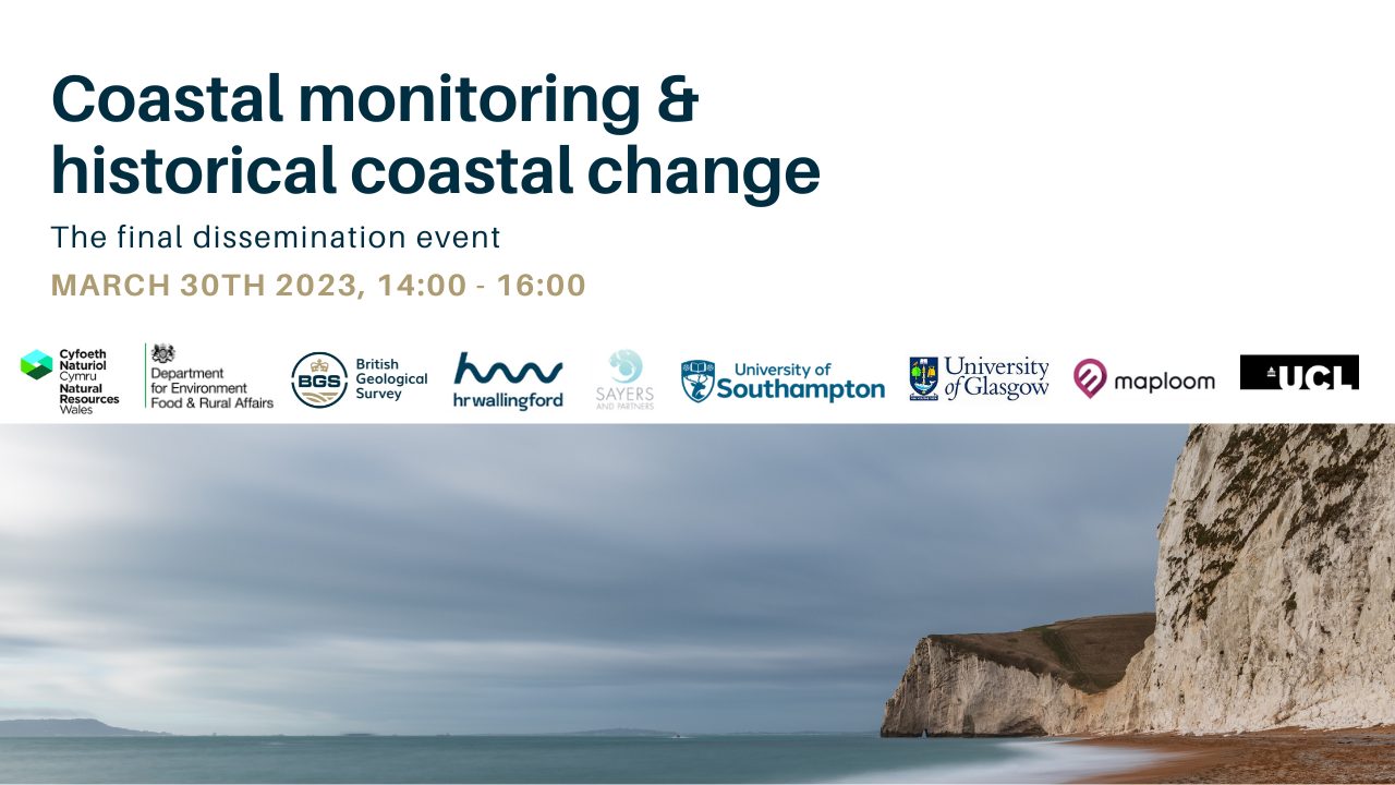
Dissemination event
The final output of the project will be presented at the BGS headquarters in Nottingham on 30 March 2023. Please visit the Eventbrite page for:
Dissemination event. BGS © UKRI.
More information
The BGS Coasts and Estuaries geohazards team provides independent and expert geoscientific tools and advice for collaborative decision making to assess different adaptation options for coastal flooding and erosion.
About the authors

Dr Jonathan Lee
Applied Quaternary geologist
Further reading
BBC report: Norfolk beach at erosion hotspot closed over risk to homes
Muñoz López, P, Payo, A, Ellis, M A, Criado-Aldeanueva, F, and Jenkins, G O. 2020. A method to extract measurable indicators of coastal cliff erosion from topographical cliff and beach profiles: application to north Norfolk and Suffolk, East England, UK. Journal of Marine Science and Engineering, Vol. 8(1), 20. DOI: https://doi.org/10.3390/jmse8010020