

New geological mapping underway to help manage flooding along the River Tweed
Scientists are surveying the Tweed catchment for the first time in over 100 years to enhance understanding of localised groundwater and improve flood forecasting.
08/07/2026 By BGS Press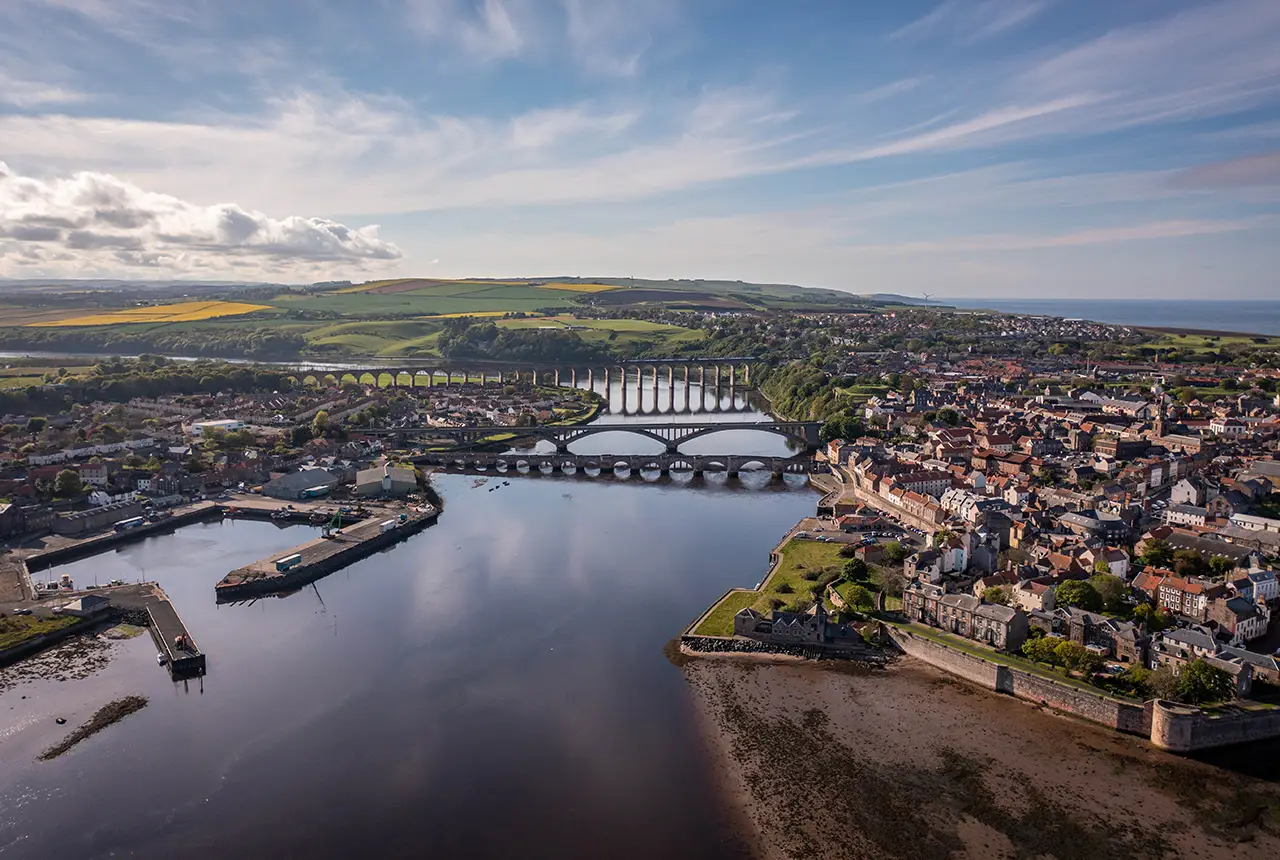

It is a common assumption that flooding arises as a result of intense rainfall. Whilst this is true in many cases, another common cause is actually groundwater flooding, where groundwater emerges at the surface. Groundwater flooding can occur in a variety of geological settings and poses a significant risk around the UK. In England and Wales alone, it’s estimated that groundwater flooding accounts for around £530 million in damages per year (ESI, 2016). The impacts can be devastating for farmers, local businesses and homeowners, and cause significant disruption across regional transport routes.
BGS geologists have started a four-year project that will enhance knowledge of ground conditions and undertake flood-pattern investigations around the River Tweed. This survey will provide crucial geological data for local authorities, organisations and others involved in land-management initiatives to the benefit of the 450 000 people who live in or around the flood-prone Borders region.
Much of the region was last surveyed in the 1920s (or earlier) and this latest project forms a central part of BGS’s current national geological mapping programme. The picturesque landscapes so synonymous with the famous salmon river have been formed over millions of years. Most recently, they were sculpted by ice during the last glaciation, which ended around 19 000 years ago in the Tweed catchment.
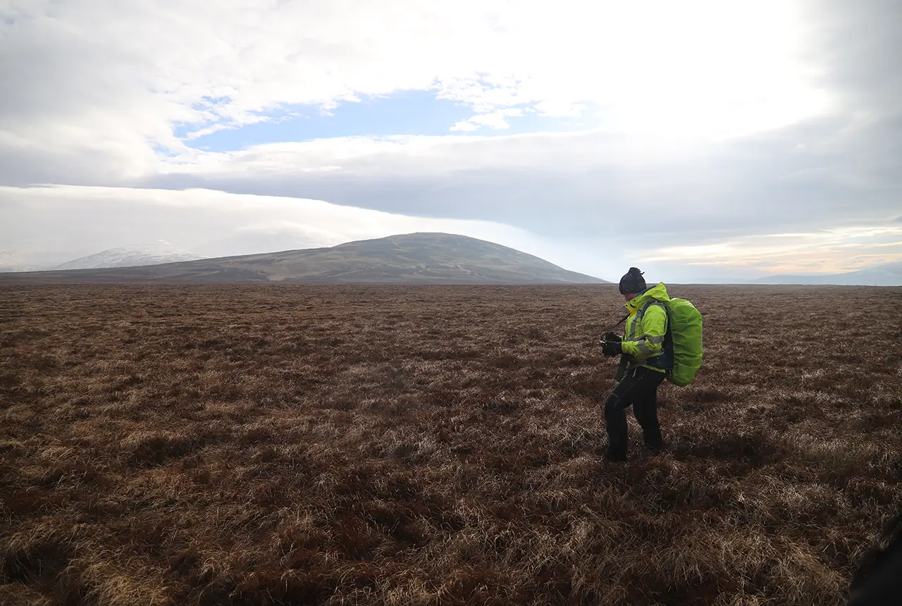
A BGS Survey Geologist carrying out a peat thickness survey near Coldburn Hill (in the background), Cheviots. Ruggedised tablets are used in the field to record observations and measurements at specific locations and draw linework indicating the extent of the various deposits, supported by aerial photos and digital terrain models. BGS © UKRI.
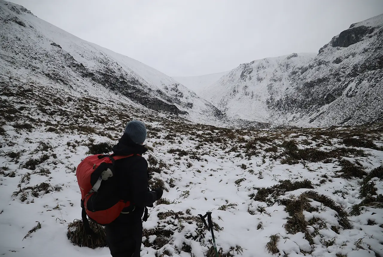
A BGS Survey Geologist surveying the upper reaches of Bizzle Burn, Cheviots. Ruggedised tablets are used in the field to record measurements directly into databases, which will ultimately help create maps and constrain models of the area. BGS © UKRI.
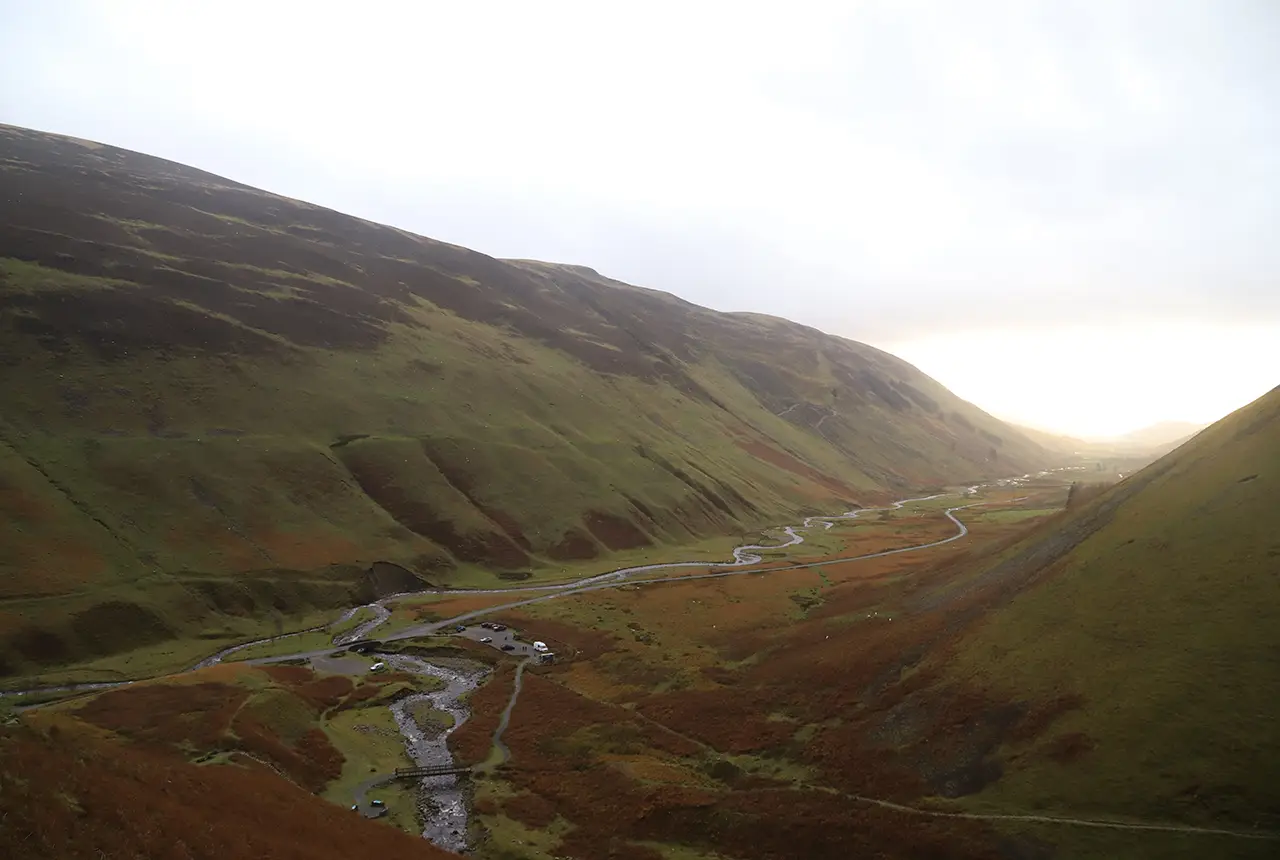
Moffat Dale in the Borders was carved out by glaciers during the last ice age, creating a large U- shaped valley. Over time, river and slope deposits have infilled the valley floor and now Moffat Water meanders its way over a flat plain. The steep valley sides are largely composed of broken or fractured bedrock, or have a thin covering of talus (angular rock fragments). BGS © UKRI.
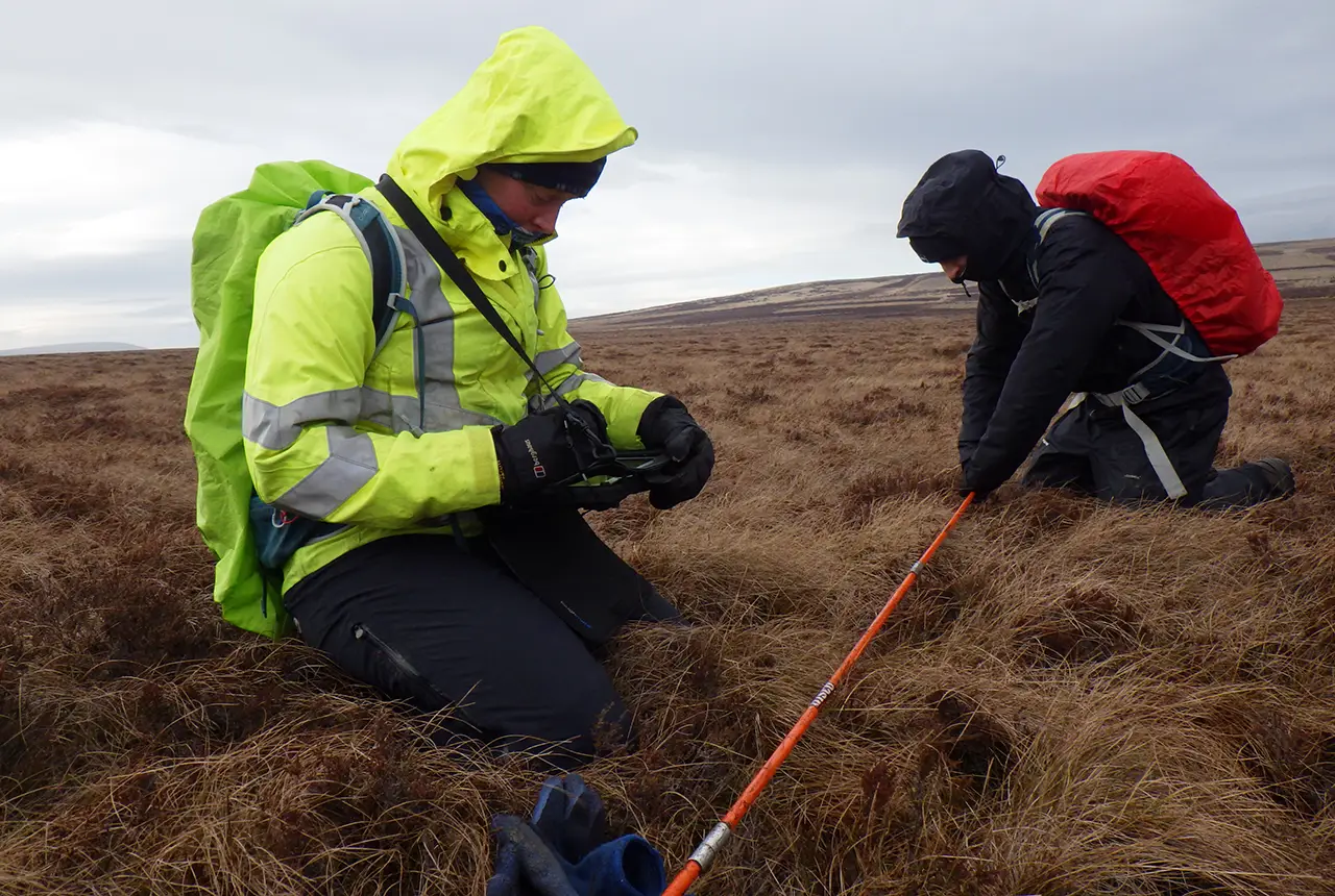
Measuring the thickness of peat deposits on Coldburn Hill, Cheviots. The long, thin peat probe easily penetrates through the soft, fibrous peat deposit, stopping when it reaches stiffer, underlying sediments or bedrock. Peat deposits absorb and then slowly release rain water, so they are important for preventing rapid runoff and reducing flood risk further downstream. BGS © UKRI.
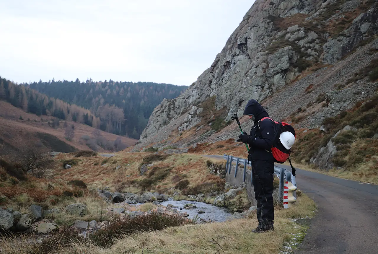
A BGS Survey Geologist near Lambden Burn, Cheviots, recording observations about nearby sediments. BGS © UKRI.
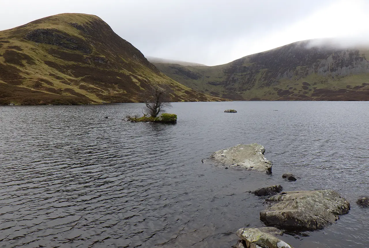
Looking across Loch Skeen, Moffat Dale. The shape of the landscape and the nature of the deposits surrounding the loch help scientists understand the glacial history of the area. The complex arrangements of landforms and deposits reflect the dynamic and varied glacial environments in which they were formed. BGS © UKRI.
Existing maps indicate that the area is dominated either by glacial till or bedrock but, in reality, it is a lot more complex than this, with a continuum from bedrock through weathered bedrock, slope deposits and till. These nuances will be a particular focus for geologists as they are likely to have an effect on how groundwater moves through the shallow subsurface, due to the more open pore space of slope deposits compared to till or bedrock. This enhanced understanding will help to provide baseline data for flood monitoring and forecasting for those in the environmental modelling and policy communities, as well as landowners, to make more informed decisions about the management of land in the catchment area.

Our understanding of glacial systems has evolved enormously in the hundred years since the Tweed catchment was last surveyed. In the 1920s, geological surveys were performed solely by walkover surveys, but now we are able to take advantage of high-resolution Earth observation data to understand and model these systems.
Creating new maps using a modern understanding of how ice sheets develop combined with this new data will improve our understanding of this crucial waterway and may enable us to use additional knowledge of ground conditions to assist with land-planning initiatives that will help manage flooding.
Sam Roberson, BGS Quaternary geologist and Tweed project lead.
The Tweed project is exploring new technologies to create geological maps, combining artificial intelligence, high-resolution terrain data and field observations to understand how the different deposits affect the shape of our landscapes. Field studies began in the Cheviot Hills in spring 2025, before heading to the Tweedsmuir Hills during summer 2025 and around Melrose and Galashiels during autumn 2025. All fieldwork is completed on foot, making observations about the sedimentary exposures and the form of the landscape.
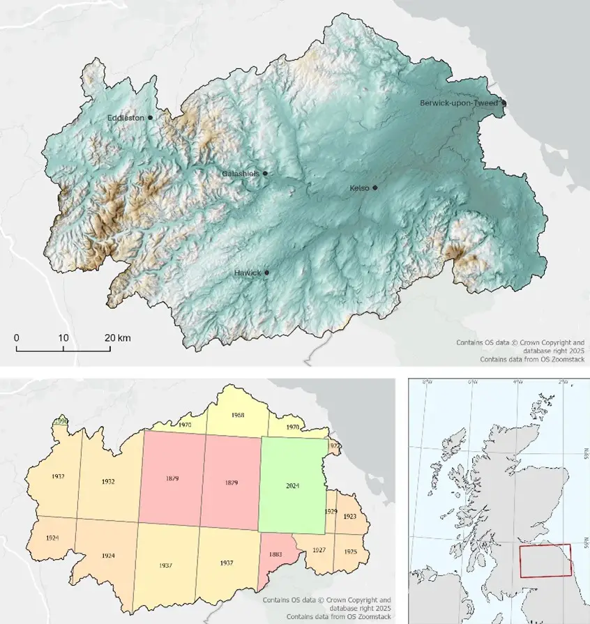
Relief map and location of the Tweed catchment and its location in the UK. Contains OS Data © Crown Copyright and dataset right 2025. Contains data from OS Zoomstack. BGS © UKRI.
Geological maps produced from this work will form part of the national geological map, which can be freely accessed on the BGS maps portal or via the GeoIndex (onshore) on the BGS website. Research papers and reports will also be accessible via the BGS website and the NERC Open Research Archive service.
Relative topics
Related news

Demand for data centres presents challenges and opportunities for UK critical mineral supply chains
02/09/2026
Government-backed research finds that vulnerabilities in raw material supply chains must be addressed to secure the critical minerals needed to expand the UK’s digital infrastructure and boost economic growth.
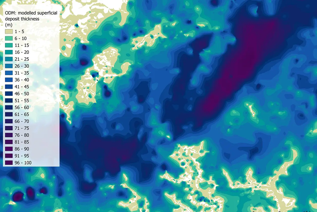
Updated national 3D model will determine the depth to the solid bedrock beneath our feet
13/07/2026
The BGS Superficial Deposit Thickness Model now includes an elevation model of geological rockhead for the first time, providing important data for civil engineers, geoscientists and environmental scientists.
New geological mapping underway to help manage flooding along the River Tweed
08/07/2026
Scientists are surveying the Tweed catchment for the first time in over 100 years to enhance understanding of localised groundwater and improve flood forecasting.
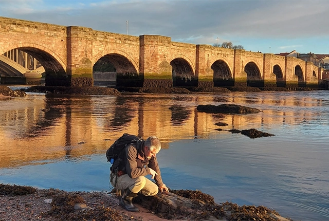
New geological maps of Berwick-upon-Tweed to help future-proof natural water supply
20/05/2026
Scientists have mapped the geology under the town to better understand the groundwater system to inform decisions around abstraction.
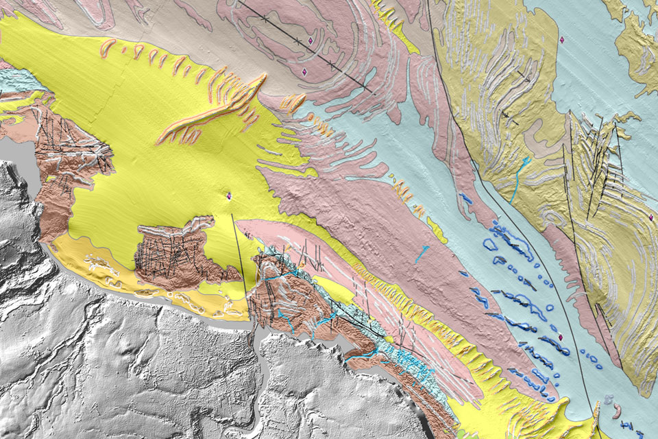
Updated geological assessment of the Southern North Sea set to underpin future offshore infrastructure development
25/03/2026
The first regional assessment for 30 years will support offshore marine and subsurface planning for the UK’s low-carbon energy infrastructure, including the 2030 target of 45 to 50 GW generated through offshore wind.
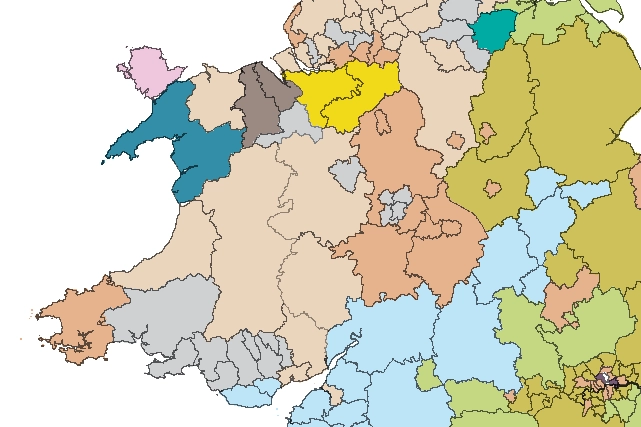
Map of BGS BritPits showing the distribution of worked mineral commodities across the country
18/02/2026
BGS’s data scientists have generated a summary map of the most commonly extracted mineral commodities by local authority area, demonstrating the diverse nature of British mineral resources.
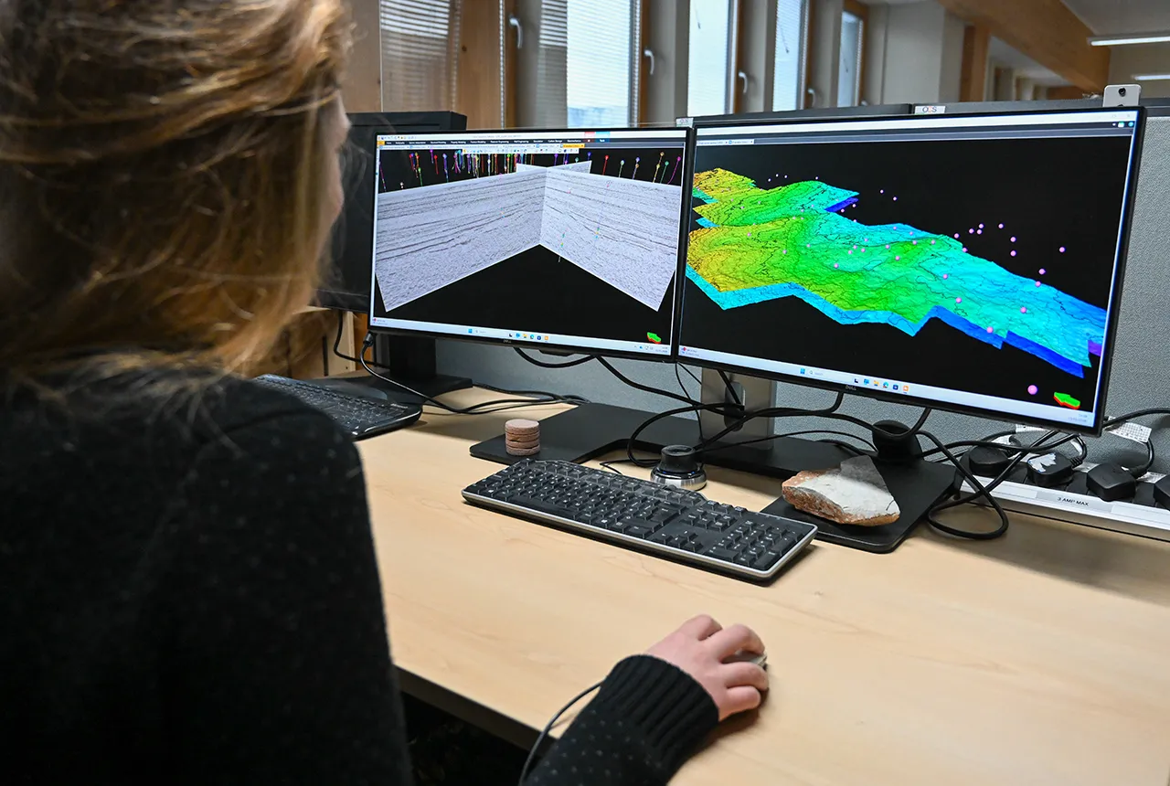
Can sandstones under the North Sea unlock the UK’s carbon storage potential?
02/02/2026
For the UK to reach its ambitious target of storing 170 million tonnes of carbon dioxide per year by 2050, it will need to look beyond the current well-studied geographical areas.
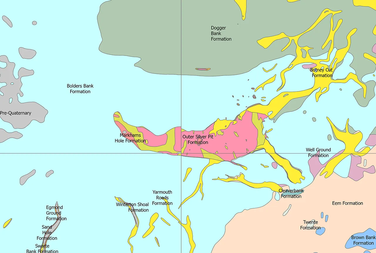
Quaternary UK offshore data digitised for the first time
21/01/2026
The offshore wind industry will be boosted by the digitisation of a dataset showing the Quaternary geology at the seabed and the UK’s shallow subsurface.
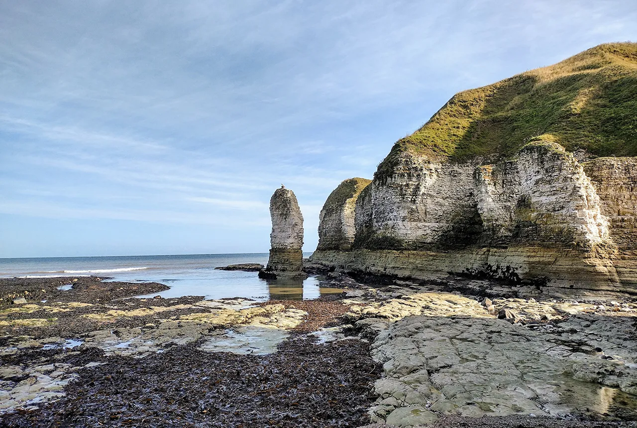
New geological maps of the Yorkshire Wolds to better inform groundwater management and policy decisions
17/12/2025
The new mapping provides crucial data on localised geological issues that may assist in protecting water supplies.

New 3D model to help mitigate groundwater flooding
08/12/2025
BGS has released a 3D geological model of Gateshead to enhance understanding of groundwater and improve the response to flooding.
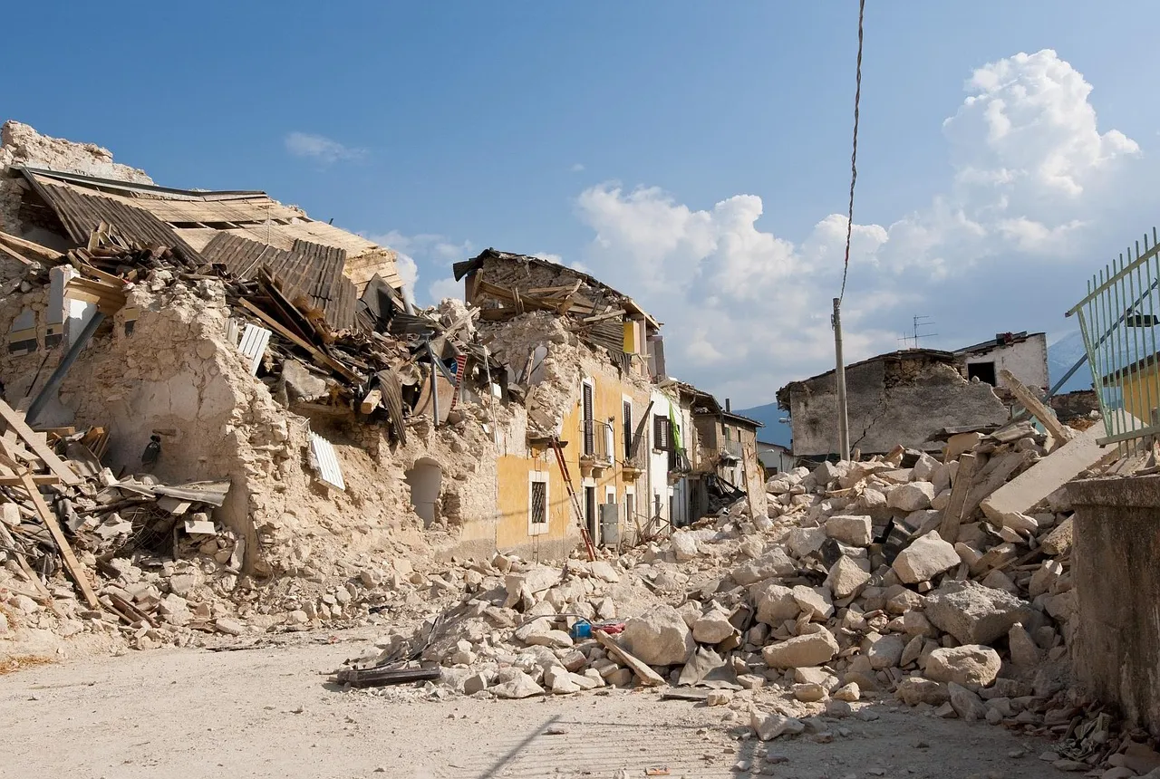
New research shows artificial intelligence earthquake tools forecast aftershock risk in seconds
25/11/2025
Researchers from BGS and the universities of Edinburgh and Padua created the forecasting tools, which were trained on real earthquakes around the world.
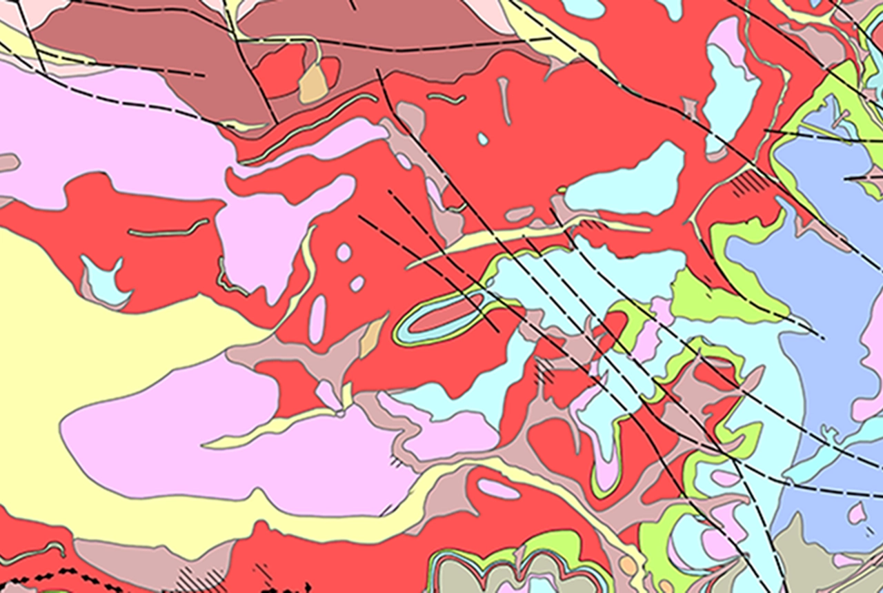
Latest BGS Geology 50K mapping data launched
06/11/2025
Some of our most widely used maps have received a major update, including the 1:50 000-scale map series that now includes enhanced coverage of Great Britain.