Update to BGS’s AGS file utilities tool released
BGS has released significant updates to its online tool for validating geotechnical data held as AGS files. The update includes improvements to the tool’s user interface and the ability to convert AGS data into MS Excel files.
19/06/2024 By BGS Press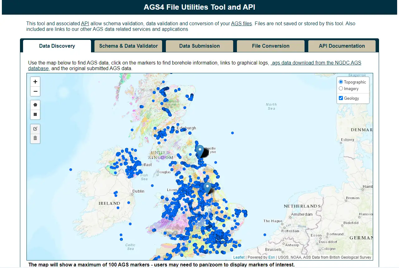
The AGS data format is used for sharing information about geotechnical projects, including boreholes, geological information, samples and test results. AGS is a key data type that the geotechnical industry is required to submit to the National Geoscience Data Centre (NGDC), which is managed by BGS as part of its national public good role. NGDC collects and preserves key geoscientific data, making it available in the long term to a wide range of users and for the benefit of future geotechnical projects. This type of data is particularly useful for preliminary desk-based studies in the early stages of such projects.
The AGS file utilities tool
In late 2021, BGS released the beta service of its AGS file utilities tool. The online tool is free and designed to be easy to use, allowing users to validate AGS files against both the official AGS data format rules and the data submission requirements for deposit within NGDC. The tool also lets users discover AGS data held by NGDC on behalf of the UK, view logs of the data and download AGS data held by BGS. It can also convert AGS data format files to and from MS Excel format with optional sorting strategies.
The latest update
This latest update to the AGS4 file utilities tool and API includes:
- improved user interface
- latest version (v0.5) of the official AGS python library
- validation of the locations of AGS features on a map
- ability to download a GeoJSON of all LOCA_ID features
- .ags to .xlsx conversion with a choice of four sorting strategies
This work has been made possible by the efforts of the AGS Data Format Working Group, who have updated the underlying official AGS Python library.
Having responded to user feedback, we are excited to release this update as the new features will enable users to improve the quality of data supplied, ensuring greater trust and utility in its reuse.
Edd Lewis, BGS Geospatial Analyst.
How to use the AGS file utilities tool
The application offers two ways to interact with the available tools: a web-based graphical user interface (GUI) and an application programming interface (API) for programmatic access. Files are not saved or stored by the AGS file utilities tool.
To validate an AGS file you need to specify three parameters:
- which AGS version to use or the version specified in the file
- which validation to run: AGS rules, BGS submission requirements or both
- how you would prefer the results: HTML, plain text or JSON
You can then select and upload one or more AGS files (50 Mb maximum) for validation. To convert files, select and upload either AGS files (.ags) or MS Excel files (.xlsx) files and the other file type will be returned. There is an option to sort the output worksheets alphabetically, using the dictionary or using the AGS standard hierarchy, but doing this means the original group order will be lost.
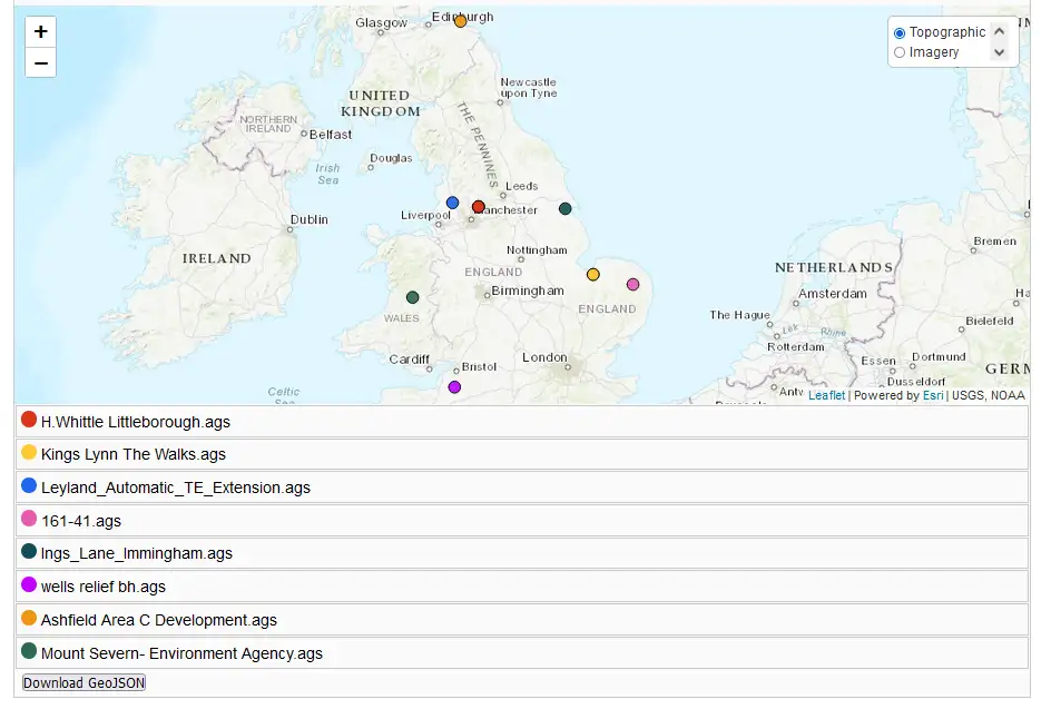
Validation map output. BGS © UKRI.
AGS v3.x
We continue to host our legacy AGS validation tool for users who are creating or discovering AGS v3 files that they would like to submit to NGDC. This performs data checking against rules set out in the NGDC submission guidelines.
Open source
In line with UKRI, the BGS Digital Strategy and the wider Government Technology Code of Practice and Digital Service Standard, the source code for the AGS file utilities tool application is available under open license and hosted on the BGS GitHub.
Feedback
If you have any feedback, or want to raise any feature requests or issues, please use the GitHub repository issues board.
Relative topics
Related news

Future projections for mineral demand highlight vulnerabilities in UK supply chain
13/03/2025
New Government-commissioned studies reveal that the UK may require as much as 40 per cent of the global lithium supply to meet anticipated demand by 2030.

Critical Mineral Intelligence Centre hosts second conference
28/02/2025
The Critical Minerals Intelligence Centre conference took place at BGS’s headquarters in Keyworth, Nottinghamshire.

The challenge of assessing the UK economy’s dependence on mineral supply
28/11/2024
Critical, essential, or just plain important? Dr Gavin Mudd, director of the Critical Minerals Intelligence Centre, discusses the findings and new methodology featured in the 2024 UK Criticality Assessment.

UK 2024 Criticality Assessment published
28/11/2024
The latest UK Criticality Assessment, produced by the UK Critical Minerals Intelligence Centre, shows that growing diversification brings an increasing vulnerability in terms of disruption to supply.

Over 600 mineral exploration project reports now available through the UK Critical Minerals Intelligence Centre
17/05/2024
All 662 reports from the Mineral Exploration and Investigation Grants Act programme are now available on the Critical Minerals Intelligence Centre website.
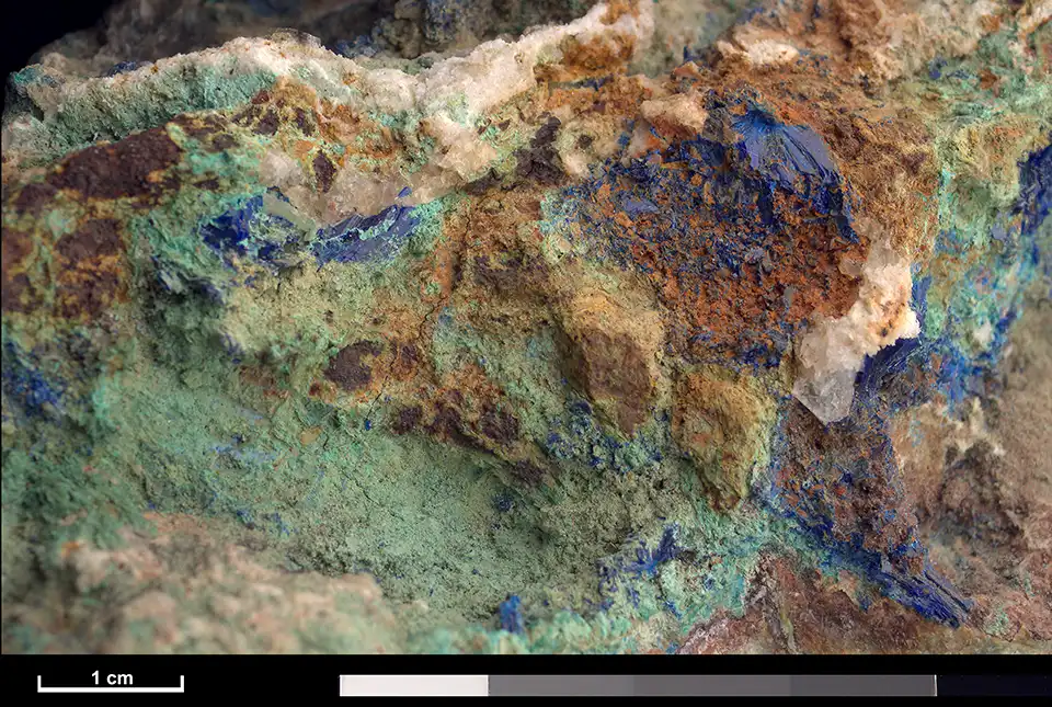
CMIC: critical minerals research review
21/12/2023
Matthew Reeves of Innovate UK provides an overview of the Critical Minerals Strategy, which sets out how the UK will go about securing its supply of critical minerals.

First annual Critical Mineral Intelligence Centre conference takes place
23/11/2023
The conference took place at BGS’s headquarters in Keyworth, Nottinghamshire, on 21 November 2023.

Dr Gavin Mudd appointed director of the UK Critical Minerals Intelligence Centre
19/10/2023
Dr Gavin Mudd brings with him expertise in sustainable mining, environmental impacts and management of mine waste.
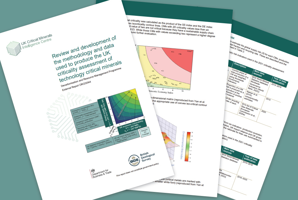
UK assessment of technology-critical minerals and metals
12/10/2023
New publication by the UK Critical Mineral Intelligence Centre sets out a revised methodology

Mineral investigation reports released online
07/07/2023
Reports from over 260 mineral exploration projects are now freely available on BGS’s GeoIndex.

BGS unveils #TheCommoditree at Glastonbury 2023
21/06/2023
The new installation is part of a unique touring festival stand showcasing how modern lifestyles wouldn’t be possible without rocks and minerals.
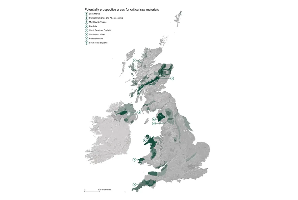
Report identifies areas of the UK prospective for critical raw materials
17/04/2023
Areas from the Highlands to south-west England have the right geology to be prospective for several critical raw materials such as lithium and graphite, according to a new report.


