Relative topics
19 results for "digital geoscience"

New 3D model to help mitigate groundwater flooding
BGS has released a 3D geological model of Gateshead to enhance understanding of groundwater and improve the response to flooding.

Latest BGS Geology 50K mapping data launched
Some of our most widely used maps have received a major update, including the 1:50 000-scale map series that now includes enhanced coverage of Great Britain.

New BGS GeoIndex viewer released for user testing
The premium map-viewing application has been given a major upgrade and made available as a beta release.
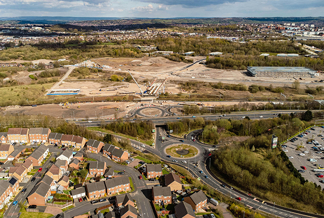
New tool helps identify coal mine gas risk for housing developments in Scotland
Scientists have co-developed a new tool for North Lanarkshire Council to help screen coal mine gas emissions prior to the development of new houses and buildings.
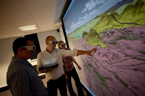
Celebrating 20 years of virtual reality innovation at BGS
Twenty years after its installation, BGS Visualisation Systems lead Bruce Napier reflects on our cutting-edge virtual reality suite and looks forward to new possibilities.
Pioneering tool expanding to analyse agricultural pollution and support water-quality interventions
An online tool that shows which roads are most likely to cause river pollution is being expanded to incorporate methods to assess pollution from agricultural areas.
BGS makes significant advance in mineral data accessibility
A new public application programming interface for the BGS World Mineral Statistics Database will revolutionise how users interact with critical data.
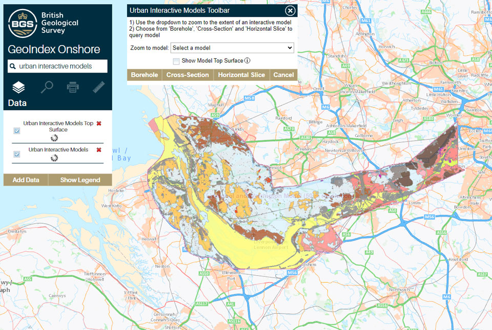
What lies beneath Liverpool?
The geological secrets lying under the surface of Liverpool and Warrington have been unveiled for the first time in BGS’s 3D interactive tool.