

What lies beneath Liverpool?
The geological secrets lying under the surface of Liverpool and Warrington have been unveiled for the first time in BGS’s 3D interactive tool.
11/10/2024 By BGS Press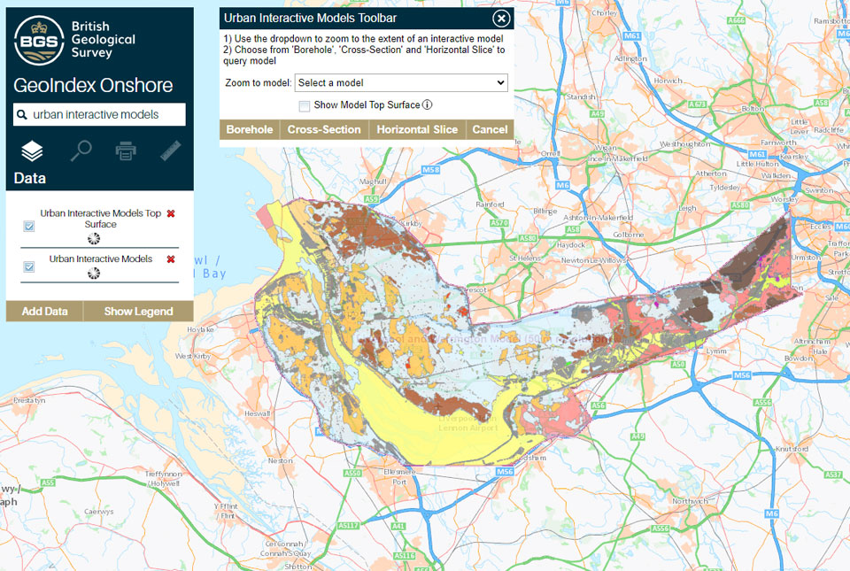

The ground beneath our cities and towns is becoming increasingly important in a number of sectors. This is not only due to pressures from housing, transport, and utility infrastructure, but also from optimising the use of natural resources such as groundwater and heat.
The Urban Interactive 3D models tool, hosted within BGS GeoIndex (onshore), was launched as a free to view service in 2021. It already includes conceptual models of London and the Thames valley, Cardiff, and the greater Glasgow region; now, a model featuring Liverpool and Warrington has also been made available.
The tool provides a 3D characterisation of the rocks and deposits beneath the area that make up the upper tens to hundreds of metres of the below ground. This data provides a vital understanding of where certain geology is and can assist different sectors in their planning within urban areas. For example, it gives a heads-up to local authorities and engineering consultancies of where they should consider the management of groundwater, and identifies potential geological resources, such as geothermal energy, when it comes to the planning and development of the area.

The BGS are striving to synthesise all the 3D geological model stock it holds into easily accessible and usable information. We hope that by providing this data, users can get an appreciation of the types of soil and rocks they live on and work with.
Ricky Terrington, Geospatial Data and Technologies Lead at BGS
Further information
- 3D urban geology, including further information about the Liverpool model
- How to use the GeoIndex 3D urban interactive model tool (video)
Contact
For more information, please contact BGS press (bgspress@bgs.ac.uk) or call 07790 607 010.
Relative topics
Related news
Updated national 3D model will determine the depth to the solid bedrock beneath our feet
13/07/2026
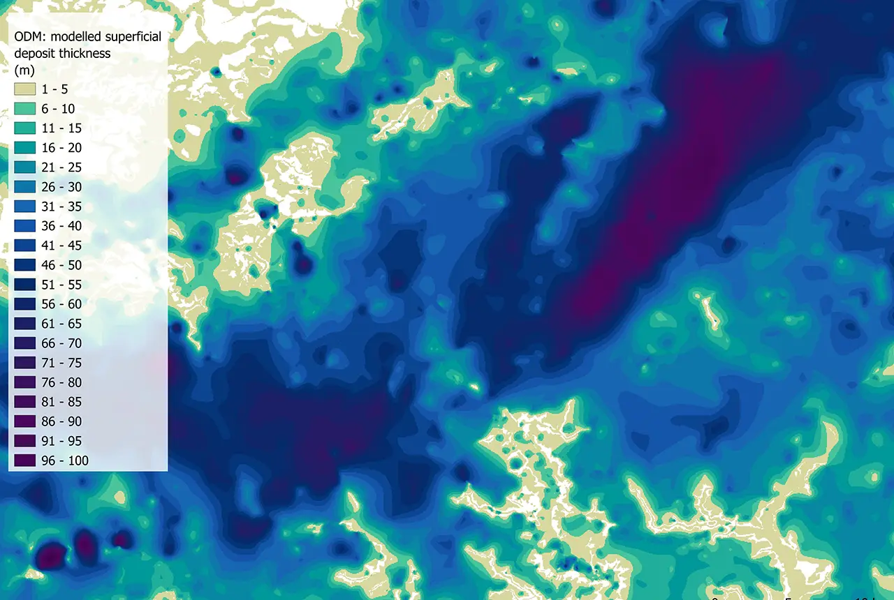
The BGS Superficial Deposit Thickness Model now includes an elevation model of geological rockhead for the first time, providing important data for civil engineers, geoscientists and environmental scientists.
New geological mapping underway to help manage flooding along the River Tweed
08/07/2026
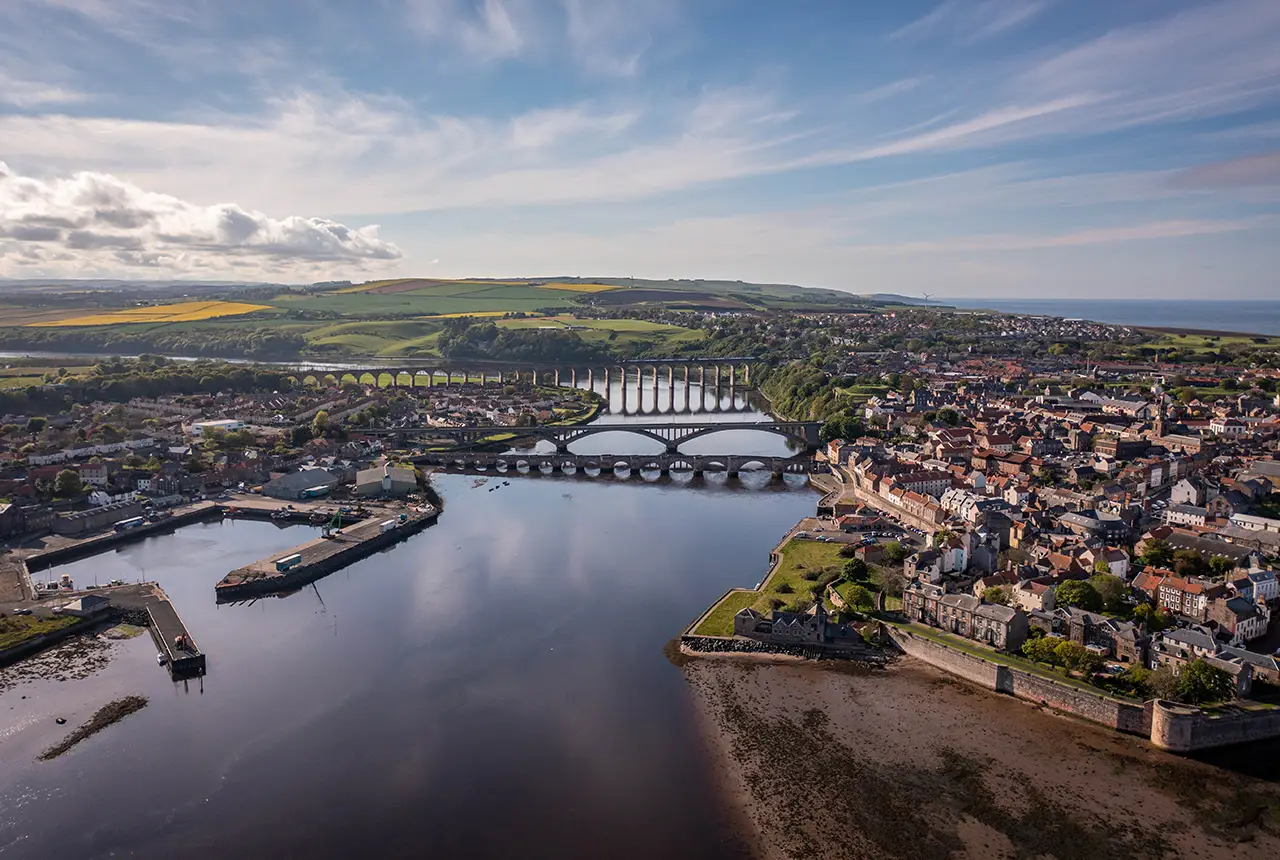
Scientists are surveying the Tweed catchment for the first time in over 100 years to enhance understanding of localised groundwater and improve flood forecasting.
From archive to discovery: historical mineral reports support gold exploration in Scotland
25/06/2026
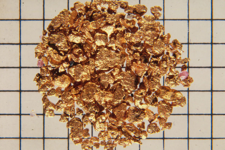
Digitised geological records show potential to unlock untapped mineral resources in Ardlochan, Argyllshire.
Ukraine and the UK strengthen their commitment to geological cooperation
10/06/2026
A new Memorandum of Understanding reaffirms the UK’s support of Ukraine’s ambitions to develop its critical mineral resources, paving the way for collaboration through capacity-building programmes.
New geological maps of Berwick-upon-Tweed to help future-proof natural water supply
20/05/2026
Scientists have mapped the geology under the town to better understand the groundwater system to inform decisions around abstraction.
BGS GeoClimate – dataset launch webinar
Event on 02/06/2026
The virtual launch of our new BGS GeoClimate dataset – helping mitigate the economic risk from shrink-swell subsidence. Event recording now available
Updated geological assessment of the Southern North Sea set to underpin future offshore infrastructure development
25/03/2026
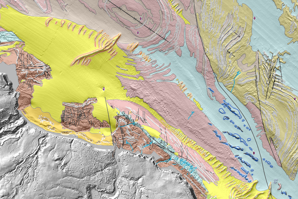
The first regional assessment for 30 years will support offshore marine and subsurface planning for the UK’s low-carbon energy infrastructure, including the 2030 target of 45 to 50 GW generated through offshore wind.
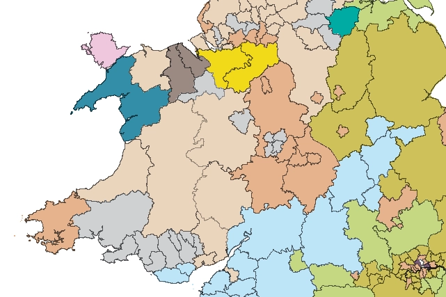
Map of BGS BritPits showing the distribution of worked mineral commodities across the country
18/02/2026
BGS’s data scientists have generated a summary map of the most commonly extracted mineral commodities by local authority area, demonstrating the diverse nature of British mineral resources.
Funding secured to help mitigate ground risk in UK construction sector
05/02/2026
The BGS Common Ground project has been awarded new funding to help unlock the value of ground investigation data.
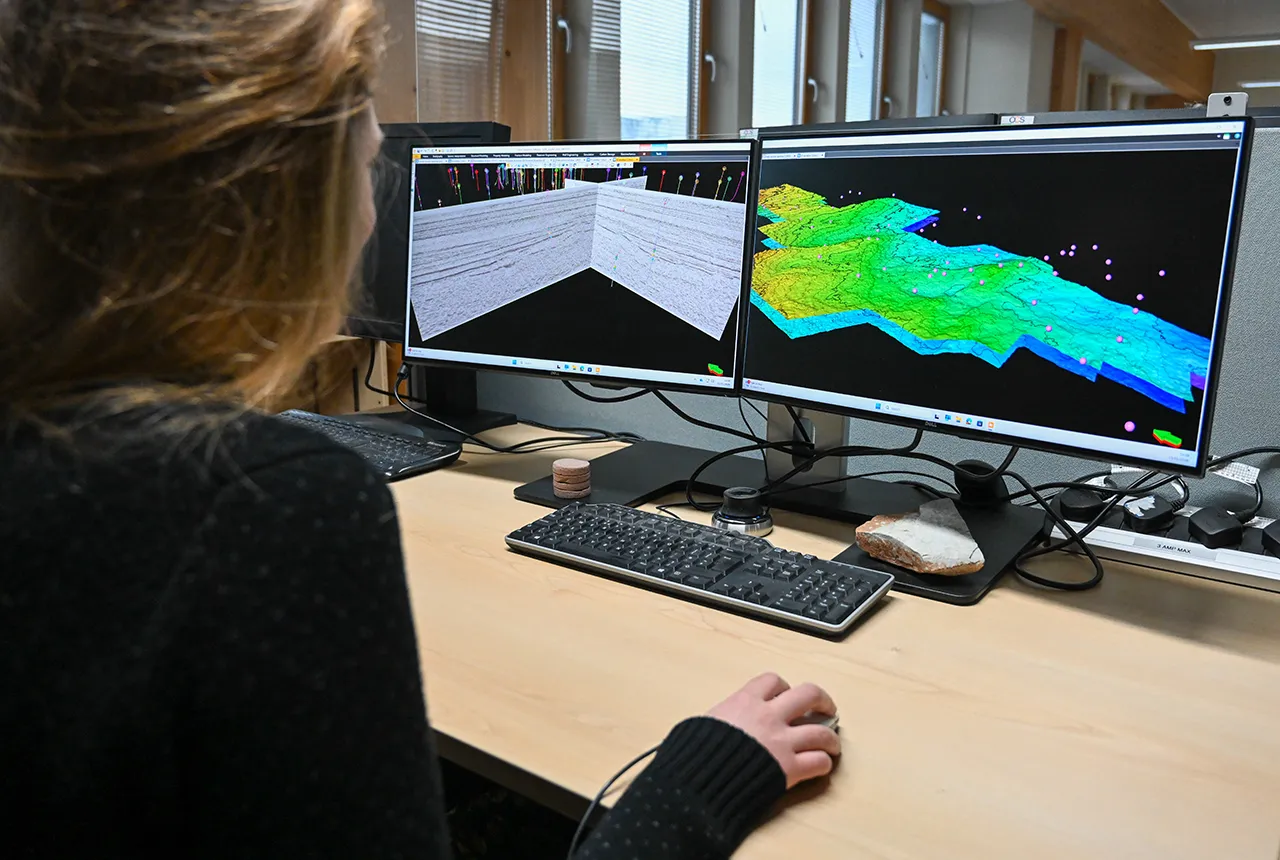
Can sandstones under the North Sea unlock the UK’s carbon storage potential?
02/02/2026
For the UK to reach its ambitious target of storing 170 million tonnes of carbon dioxide per year by 2050, it will need to look beyond the current well-studied geographical areas.
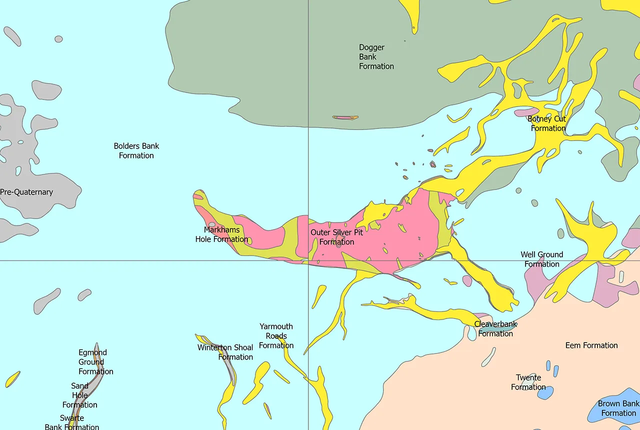
Quaternary UK offshore data digitised for the first time
21/01/2026
The offshore wind industry will be boosted by the digitisation of a dataset showing the Quaternary geology at the seabed and the UK’s shallow subsurface.
New geological maps of the Yorkshire Wolds to better inform groundwater management and policy decisions
17/12/2025
The new mapping provides crucial data on localised geological issues that may assist in protecting water supplies.