Relative topics
25 results for "urban geoscience"

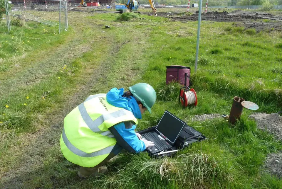
Funding secured to help mitigate ground risk in UK construction sector
The BGS Common Ground project has been awarded new funding to help unlock the value of ground investigation data.

World Cities Day: the geological story of our cities
Understanding the rocks that underlie our towns and cities, the risks they can present and how they influence urban planning and redevelopment.
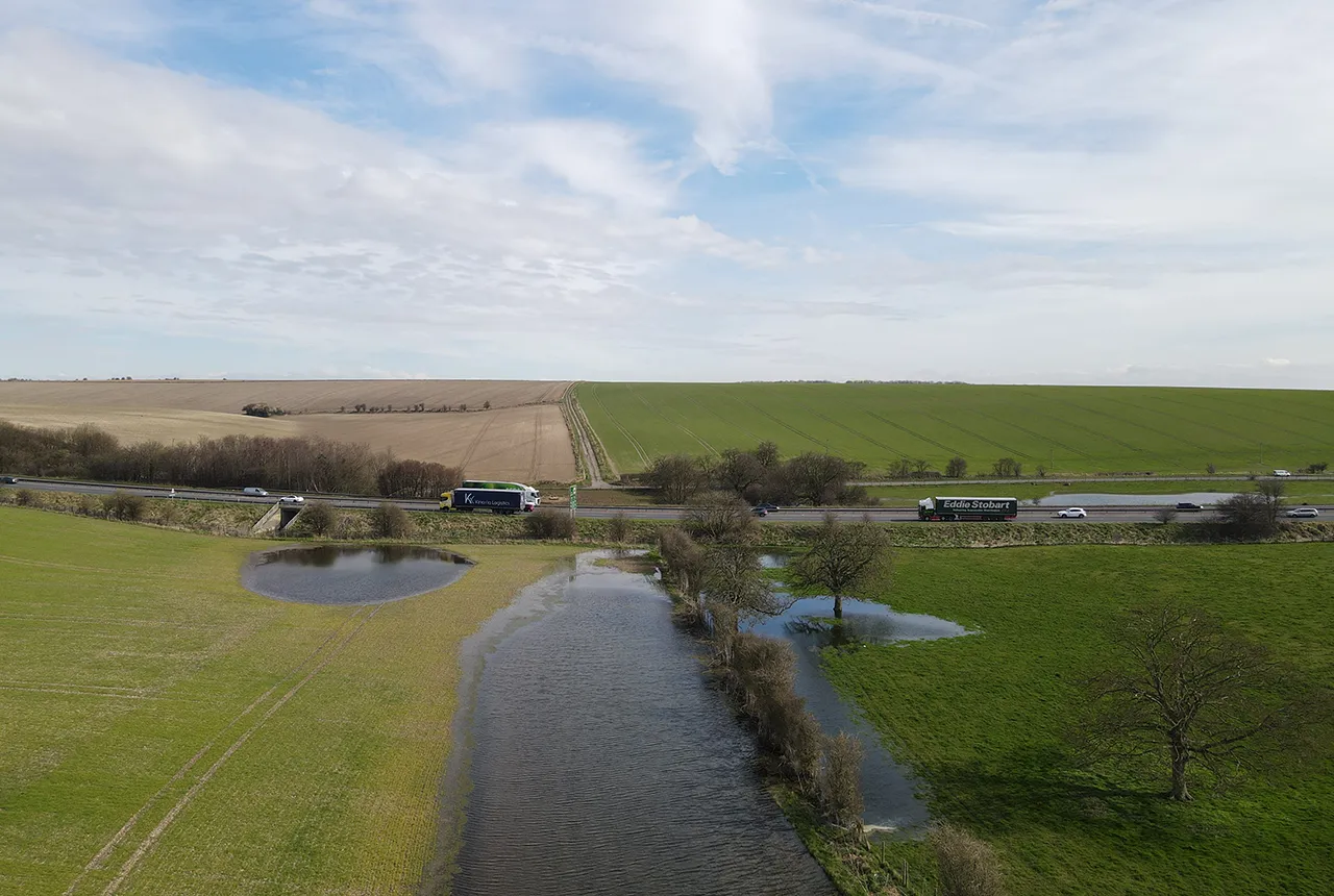
Pioneering tool expanding to analyse agricultural pollution and support water-quality interventions
An online tool that shows which roads are most likely to cause river pollution is being expanded to incorporate methods to assess pollution from agricultural areas.
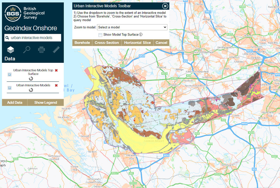
What lies beneath Liverpool?
The geological secrets lying under the surface of Liverpool and Warrington have been unveiled for the first time in BGS’s 3D interactive tool.
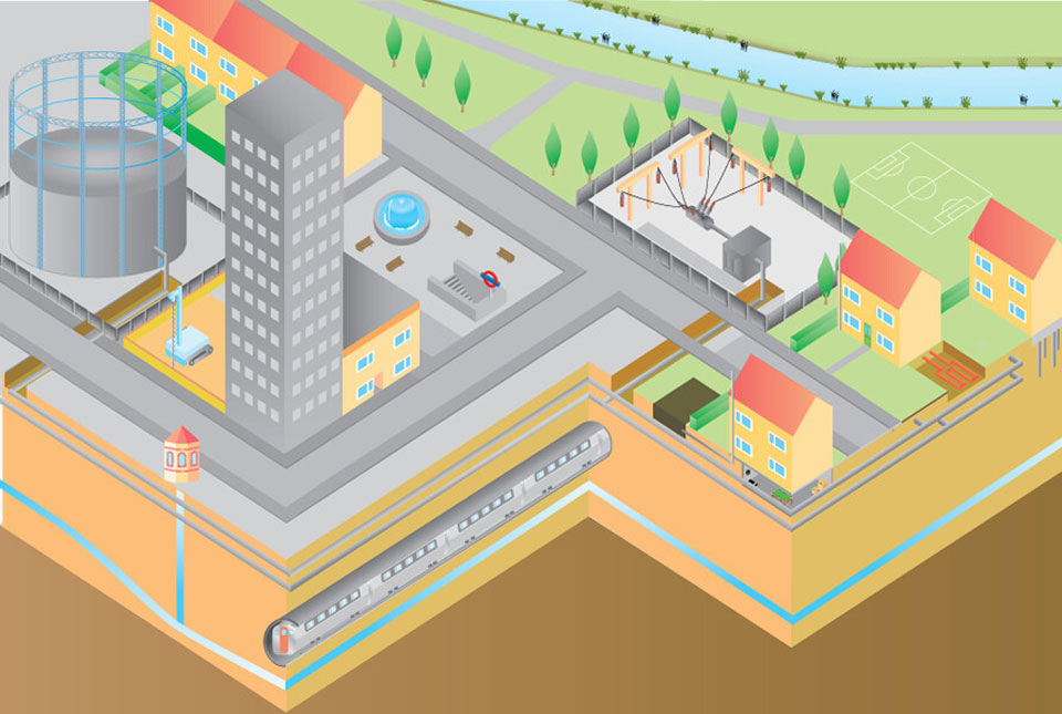
New community launched to support effective management of the subsurface
The initiative aims to increase knowledge exchange on subsurface issues between interested parties involved in subsurface policy and planning.
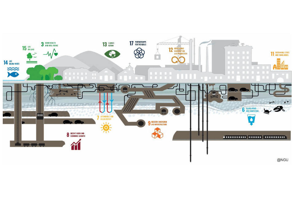
Delivering a sustainable urban future for Europe through geoscience
Research, led by BGS and EuroGeoSurveys’ Urban Geology Expert Group, explores how urban geoscience is reflected in European urban and environmental policy.

Building stones spotlight: the Sir Walter Scott Memorial 25 years after its conservation
BGS geologist, Luis Albornoz-Parra, discusses the iconic Edinburgh monument, the building stones used in its construction and the result (so far) of its conservation efforts.
The Common Ground project
The Common Ground project aims to enhance the value of ground investigation data for the UK construction and environmental sectors.