

National Hydrocarbons Data Archive files now accessible through the National Data Repository
Offshore well and survey information held within BGS’s archive have now been transferred to the North Sea Transition Authority’s National Data Repository to enable greater access.
15/07/2024 By BGS Press

In an effort to streamline petroleum licence information management, data from the National Hydrocarbons Data Archive (NHDA) has been transferred from BGS to the National Data Repository (NDR), which is hosted by the North Sea Transition Authority (NSTA).
The NHDA was a system managed by BGS on behalf of the former Department of Trade and Industry and Department of Energy and Climate. It held geoscientific data from operators requesting relief from their data management and storage obligations. These Government departments and systems have been superseded by NSTA, which has created the NDR to make its data assets openly available to registered users. The transfer of this data ensures users can freely access all data relating to petroleum licences in one place.
The data includes offshore surveys, well data and some seismic survey information, all of which are now freely accessible to download. The data could support a range of purposes, from use cases in traditional exploration and production to applications in the energy transition such as carbon storage and offshore wind.
The NSTA and BGS collaboration has enabled the formulation of plans for NHDA’s decommissioning after nearly two decades of operation.

This initiative reflects both organisations’ ongoing commitment to improving access to data to enable the UK’s energy transition, while maintaining energy security.
Nic Granger, NSTA Director of Corporate.
By working collaboratively with NSTA, we have enhanced access to this nationally important data archive to support the UK’s energy transition.
Emma Bee, head of the National Geoscience Data Centre.
Relative topics
Related news

Demand for data centres presents challenges and opportunities for UK critical mineral supply chains
02/09/2026
Government-backed research finds that vulnerabilities in raw material supply chains must be addressed to secure the critical minerals needed to expand the UK’s digital infrastructure and boost economic growth.
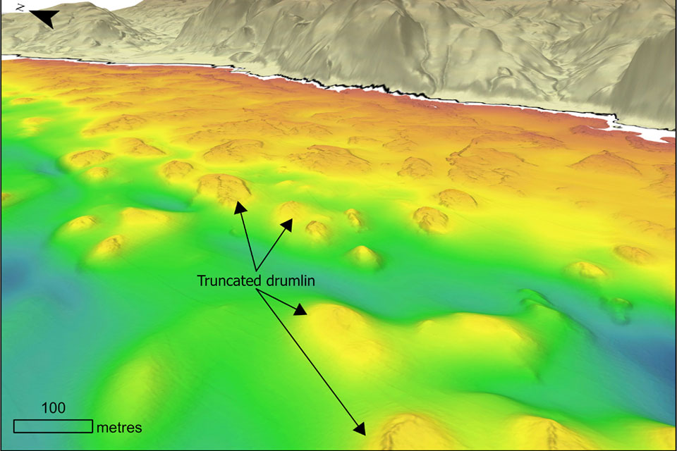
Coastal retreat in the past: the legacy of truncated drumlins
07/08/2026
The UK’s coasts have been responding to changing sea levels for thousands of years, but some of the best evidence of those changes now lies hidden beneath the waves.

BGS strengthens scientific links with Icelandic partners through Research and Innovation Scotland initiative
06/08/2026
BGS researchers recently visited Iceland as part of a project developing international partnerships and identifying opportunities for future collaborative research.
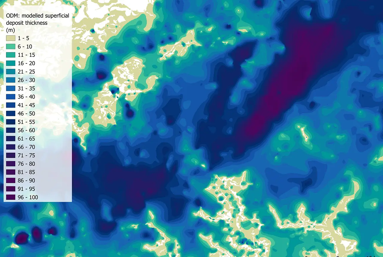
Updated national 3D model will determine the depth to the solid bedrock beneath our feet
13/07/2026
The BGS Superficial Deposit Thickness Model now includes an elevation model of geological rockhead for the first time, providing important data for civil engineers, geoscientists and environmental scientists.
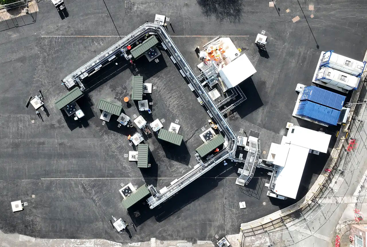
Cheshire Geoenergy Observatory releases key geological datasets for UK thermal energy storage scheme design
09/07/2026
A new report and data packs from BGS will provide a unique resource for scientists working on the geology and hydrogeology of the Sherwood Sandstone Formation, an important aquifer and reservoir rock.

Geological research in North Sea helping to safeguard subsea cables
06/07/2026
Subsea power and telecommunications cables are critical to the UK’s energy infrastructure and global connectivity, yet they remain vulnerable to damage from ship anchors, fishing activity and natural hazards.

From archive to discovery: historical mineral reports support gold exploration in Scotland
25/06/2026
Digitised geological records show potential to unlock untapped mineral resources in Ardlochan, Argyllshire.

UK and Philippines scientists investigate natural hydrogen generation processes at atomic scale
22/06/2026
BGS researchers were granted access to use the Diamond Light Source facility in order to study hydrogen in light brighter than the sun.

Shortage of end-of-life materials presents challenge to UK critical minerals security
17/06/2026
A new report by the UK Critical Minerals Intelligence Centre reveals insufficient end-of-life material stocks present a supply risk over the coming decade, but offer significant long-term potential to meet critical mineral demand through recycling.
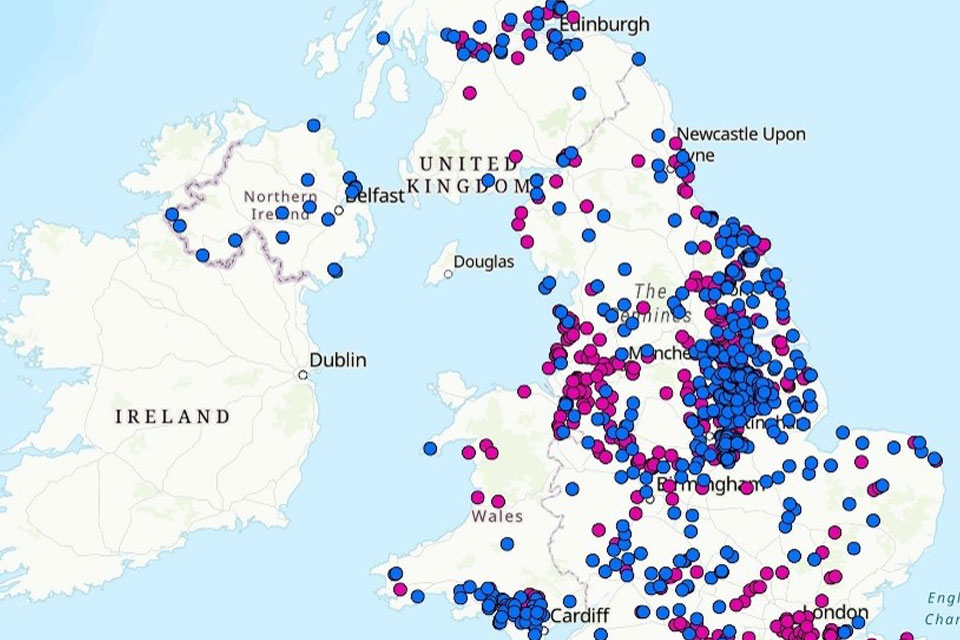
UK geothermal catalogue receives update
16/06/2026
BGS releases the second digital version of the UK geothermal catalogue of subsurface temperature and rock thermal conductivity measurements and heat flow calculations.

Ukraine and the UK strengthen their commitment to geological cooperation
10/06/2026
A new Memorandum of Understanding reaffirms the UK’s support of Ukraine’s ambitions to develop its critical mineral resources, paving the way for collaboration through capacity-building programmes.

New geological maps of Berwick-upon-Tweed to help future-proof natural water supply
20/05/2026
Scientists have mapped the geology under the town to better understand the groundwater system to inform decisions around abstraction.