Relative topics
19 results for "open data"
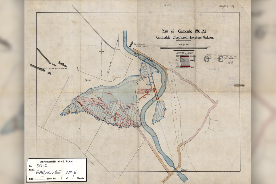
Release of over 500 Scottish abandoned-mine plans
The historical plans cover non-coal mines that were abandoned pre-1980 and are available through BGS's plans viewer.
BGS makes significant advance in mineral data accessibility
A new public application programming interface for the BGS World Mineral Statistics Database will revolutionise how users interact with critical data.
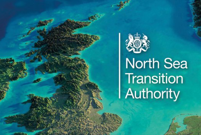
National Hydrocarbons Data Archive files now accessible through the National Data Repository
Offshore well and survey information held within BGS’s archive have now been transferred to the North Sea Transition Authority’s National Data Repository to enable greater access.
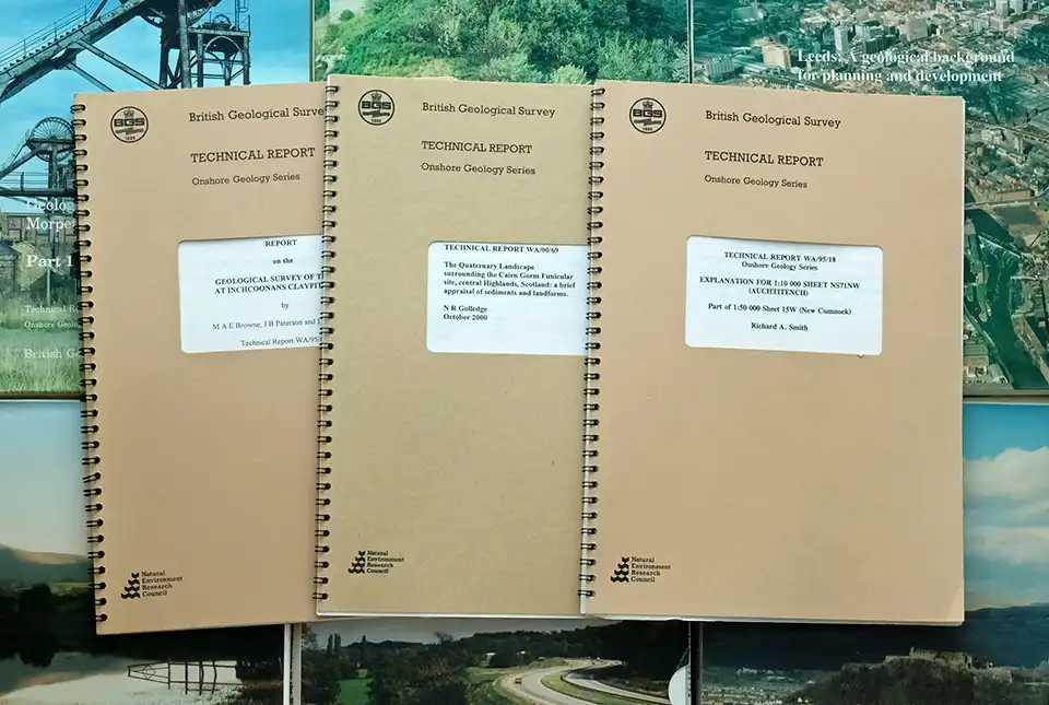
BGS’s National Geoscience Data Centre releases over 8000 technical reports
The technical reports, covering the full spectrum of BGS activities and subjects, were produced between 1950 and 2000.
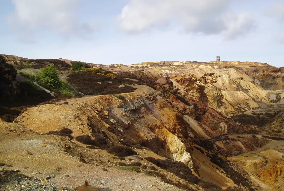
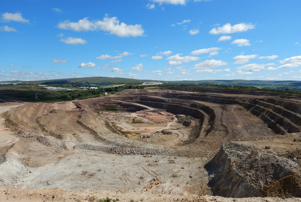
Mineral investigation reports released online
Reports from over 260 mineral exploration projects are now freely available on BGS’s GeoIndex.
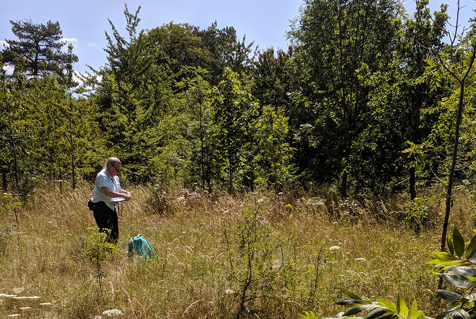
Updated biosphere map for the UK released
The updated biosphere map for the UK will allow users to identify sulphur isotope variations.
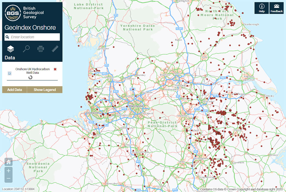
A new open dataset to benefit onshore geoscience research
Data from deep onshore hydrocarbon wells is being released on an open access basis to help meet the UK’s net zero targets.
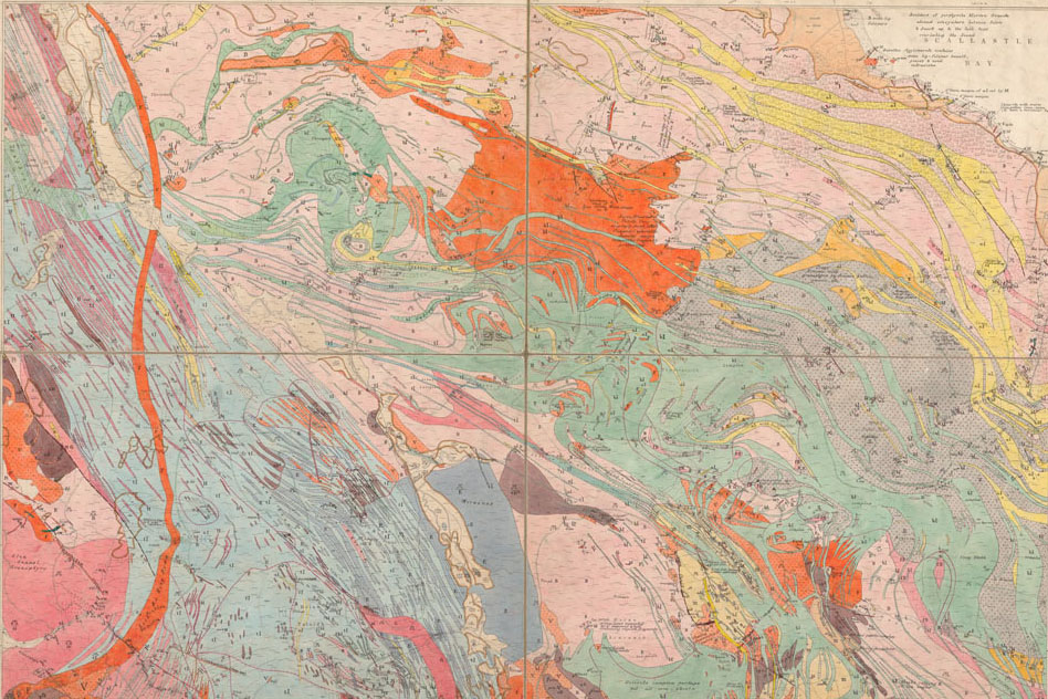
BGS releases 10K maps through updated maps portal
BGS releases an updated maps portal, which allows users to view all publicly available maps, and includes 10 000 and 1:10 560 scale maps for the first time.