Relative topics
76 results for "geohazards"
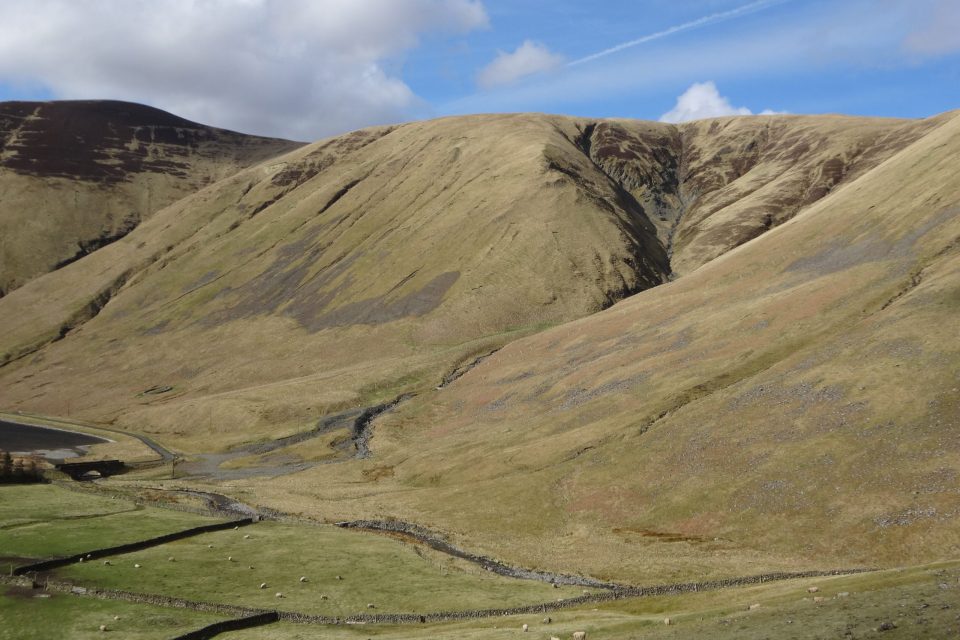
Moving stones: faults, slopes and sediments
Fractured rock along faults affects sediment movement on slopes with implications for the design of infrastructure.
BGS receives award at the World Landslide Forum 2023
BGS's landslide team has been designated a World Centre of Excellence on landslide risk reduction by the International Consortium on Landslides.
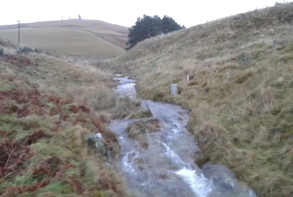
Natural flood management: is geology more important than trees?
Looking at innovative ways of creating resilience to flooding hazards with natural flood management.
TerraFIRMA
TerraFIRMA is a five-year, NERC-funded, Multi-Centre National Capability (MCNC) UKRI award running from April 2022 to March 2027
Evolving policies in the face of climate change: BGS data can help
Climate change is increasingly recognised as a major challenge for organisations, with the need for adaptation driving a wave of policy updates and reforms across multiple sectors. BGS data holdings are relevant to many of these changes and the following examples outline how these data packages can be applied.
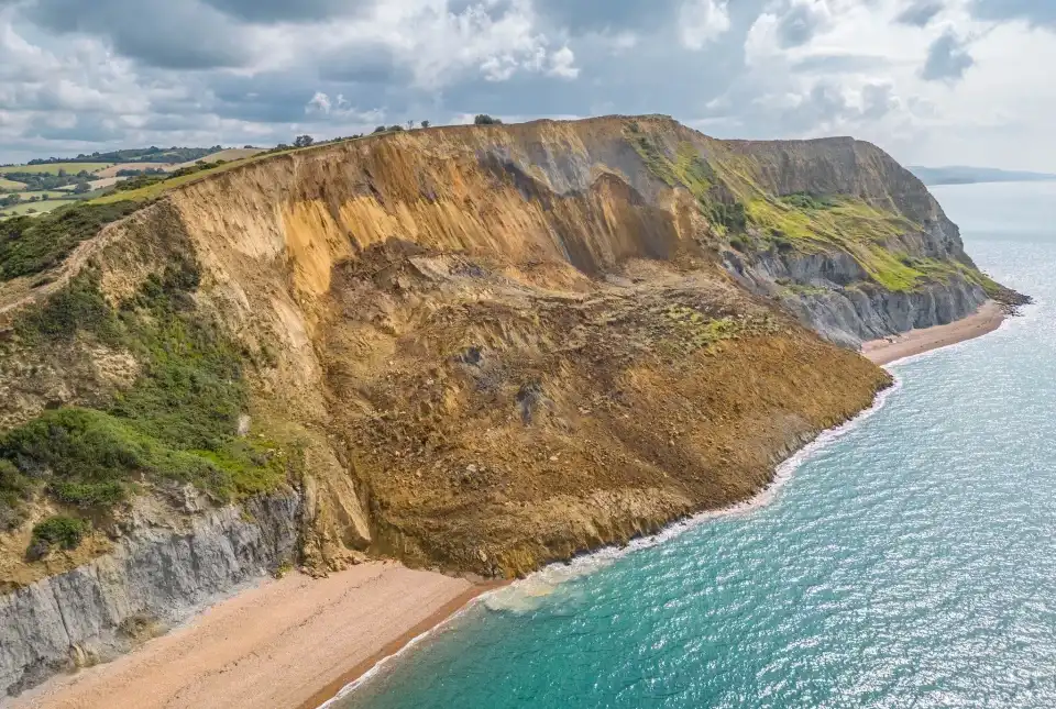
Living in multi-hazard environments
Assessing geological hazard information to improve detection and forecasting of geo-hazards and build on current disaster risk management practices.
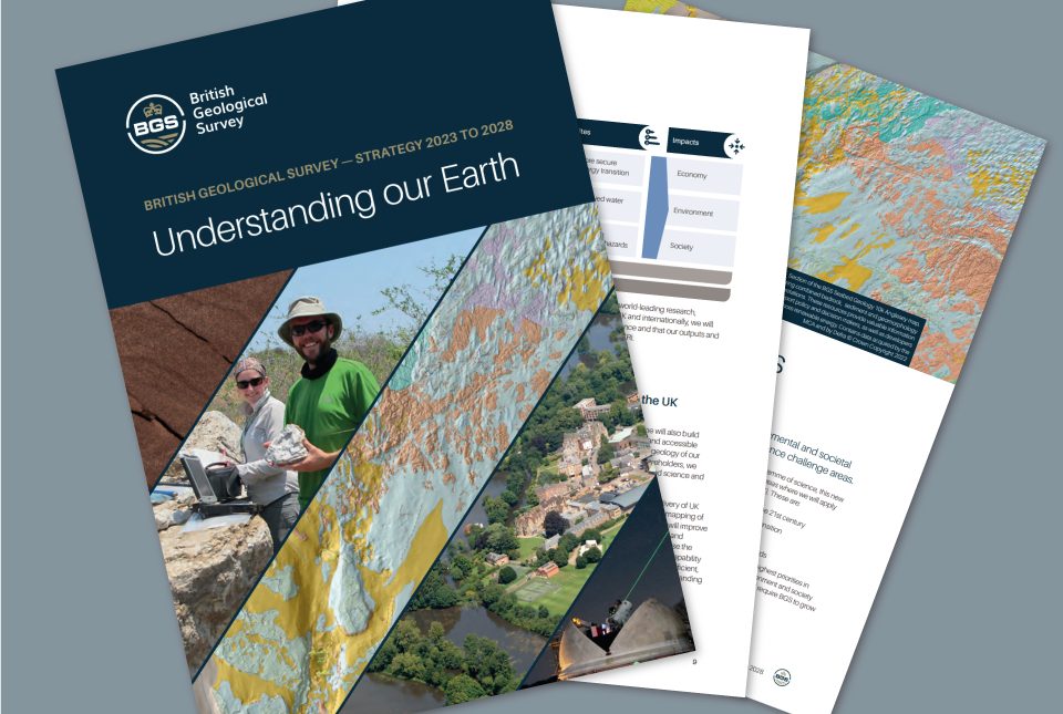
BGS maps out priorities with five-year strategy
BGS publishes its new strategy for 2023 to 2028, 'Understanding our Earth'.
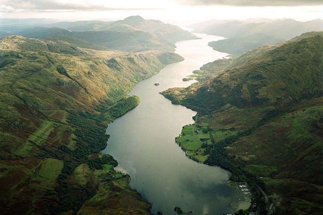
Below the bonnie banks: mapping Loch Lomond’s underwater landslides
Using high-resolution, multibeam bathymetry and shallow seismic imaging, BGS’s marine geoscience and landslides teams are mapping historic landslides under the waters of Loch Lomond.