How can geoscience improve detection and forecasting of hazards? How can geoscience knowledge support and improve the delivery of information for supporting decision making in disaster risk management?
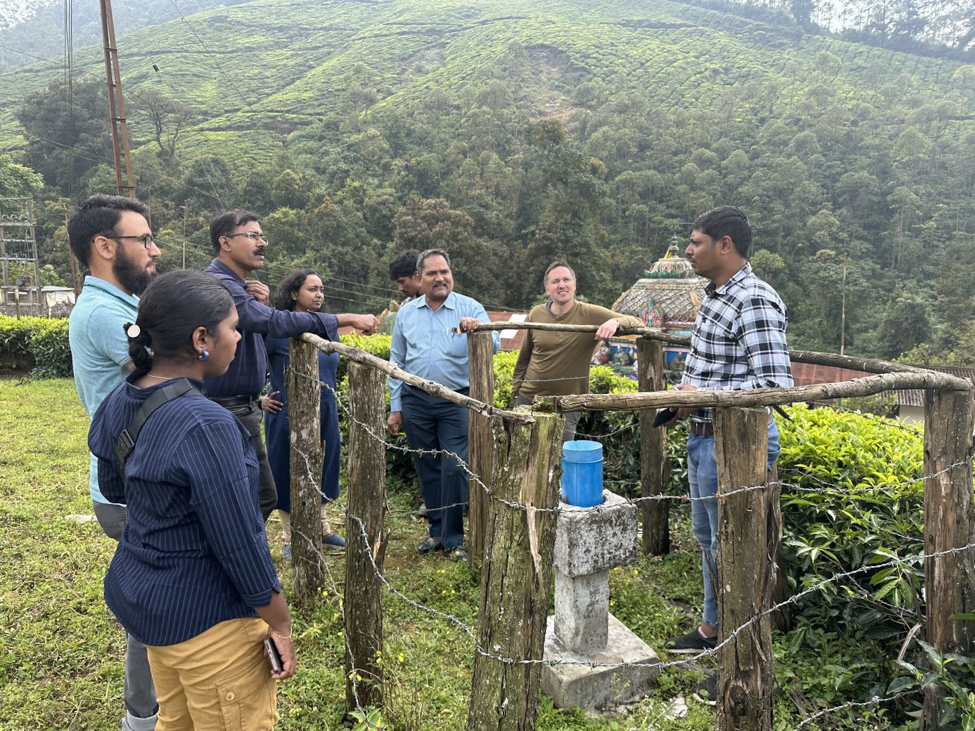

Rajkumar Mathazhagalan from the Geological Survey of India (GSI) is explaining to the other workshop participants from the University of Kerala, College of Engineering Goa, Indian Institute of Technology Palakkad, Andhra University, and BGS the available rain gauge data information near the Pettimudi landslide in Kerala, which happened in 2020 and caused 66 fatalities of residents. Credit Nikhil Nedumpallile Vasu BGS / UKRI.
Since the UN designated the 1990s the ‘International Decade for Natural Disaster Reduction’, efforts to reduce disaster risk and associated losses have made some progress. However, disaster losses continue to rise, with low- and middle-income countries disproportionately affected.
Coordinated efforts to understand disaster risk, strengthen governance to manage that risk and enhance preparedness for disaster response and recovery are some of the priorities outlined in the Sendai Framework for Disaster Risk Reduction (2015 to 2030).
Some of the key scientific challenges lie in:
- detecting and forecasting hazards
- multi-hazard settings, where many hazards may be present and where these may occur simultaneously, in cascades (for example, an earthquake may trigger a landslide that blocks a river leading to flooding) or cumulatively over time, and exploring these potential interrelated effects
- developing and providing actionable geoscience information that is ‘useful, usable and used’ for decision making by a variety of stakeholders such as governments or disaster-affected communities
Our work will focus on multi-hazard areas, mostly in South-east Asia, where disasters triggered by geophysical hazards are common, and where the number of people exposed to these hazards is rapidly increasing.
We will tackle the highlighted challenges by developing methodologies to produce operational forecasts for landslides, earthquakes and subsidence, and case studies and datasets that can be used for decision making in multi-hazard environments. Using BGS expertise in artificial intelligence and machine learning to gather information from large datasets, our methodologies will become part of a globally available multi-hazard monitoring framework.
This work will be complemented by research exploring how geoscience information can best support disaster risk management in different sectors. These findings will be used to develop good practice within the multi-hazard monitoring community with the support of a forum of government and non-government disaster risk reduction specialists, international geological surveys, public sector and community-based organisations.
Projects
We will look at novel detection and forecasting of three different hazards: landslides, subsidence and earthquakes.
Landslides
In partnership with the Geological Survey of India, we will build on previous work in southern India to develop a landslide trigger threshold model for residual soils in tropical environments. This will enhance forecasting of rainfall-triggered landslides.
Identifying landslides in remote terrains in tropical regions can be difficult, so we will develop a machine learning or artificial intelligence-based automated detection algorithm to ‘track’ landslides from satellite imagery.
The techniques developed in India will then be used to enhance hazard and risk forecasting more widely and will be applied to potential sites in countries with tropical residual soils.
Subsidence
Subsidence, which is largely controlled by geological factors, is a growing problem in expanding cities. Better understanding of subsidence within urban settings has the potential to inform urban planning decisions. Working with the Bandung Institute of Technology in Indonesia and Jabatan Mineral dan Geosains Malaysia, we will develop machine learning tools for automatic interpretation of InSAR images derived from satellite data to identify and quantify ground subsidence in urban areas.
Earthquakes
Recent breakthroughs in deep learning for automated data processing have significantly improved earthquake detection. Typically, deep learning enables ten times more earthquakes to be detected than by human analysts, increasing the speed at which earthquake sources are characterised. This will enable next-generation earthquake forecasting and revolutionise disaster risk management strategies.
Working with a global team of partners (Stanford University; Università degli Studi di Napoli Federico II; Kyoto University; ETH Zürich) data from regions of high and low seismic hazard and across different environments — for example, China and Haiti — will be used to ‘train’ the deep learning forecasts.
BGS will develop case studies with partners in Indonesia and the Philippines, where local populations are exposed to multiple geological hazards, to understand these multi-hazard systems. We will also investigate the effect of hazards associated with processes such as ground movement and volcanic eruptions, assessing how these hazards can affect communities. Using hazard-based scenarios, we will connect organisations that have responsibilities for different hazards, to enable coordinated, disaster risk-management decision making.
We will also explore the complexity of managing multiple hazards and multi-hazard interactions that cross administrative boundaries and organisational mandates. Our findings will be used to develop visualisation tools and protocols for real-time information delivery for multi-hazard decision support.
In a contrasting environment, we will develop hazard datasets for the UK Territories (UKOTs) of St Helena, Ascension and Tristan da Cunha in the South Atlantic. These islands are vulnerable to a variety of hazards, including:
- landslides
- lava flows
- volcanic gases
They also experience a higher incidence of hazards associated with climate change, such as:
- droughts
- flash floods
- rockfalls
The UKOTs can be considered an analogue for the challenges faced by many island communities around the globe. We will work with partners in the island governments, the UK’s Foreign, Commonwealth & Development Office and at-risk communities to enhance understanding of multi-hazard risk to improve resilience and reduce risk.
These projects are expected to provide insight into what makes geoscience useful and usable from a stakeholder perspective, helping us to identify ways to maximise this insight for use in decision making for disaster risk management. We will explore this by applying a range of social science methods and making use of the findings of the projects.
Developing impact-based datasets for volcanic hazards
The focus of this project is how to incorporate local-scale reports of hazards and their effects in volcanic multi-hazard environments globally. We will work in collaboration with volcano observatories around the world to build databases that enable temporal trend analysis of hazard impact information, which will enable the near real-time communication of rapidly evolving hazard incidents in multi-hazard environments. These databases can be used for disaster response decision making by key stakeholders such as the UK Government and the EU’s Emergency Response Coordination Centre.
Investigating how geoscience can support disaster recovery
This project is investigating how geoscience knowledge and expertise can support decision making for disaster recovery. Working with humanitarian organisations and geoscientists in Malawi and Indonesia, we will undertake policy analysis, community-based fieldwork and consultations with stakeholders to investigate how communities and responding organisations access and use geoscience knowledge to support decision making during disaster recovery in multi-hazard environments, and what needs to be in place to support this recovery.
The findings will inform the development of information products and approaches needed to facilitate the use of geoscience information during recovery, so that people affected by disasters may be better able to make choices that make them more resilient in future.