New global space weather hazard index launched
The new index provides a near-real time, global picture of geomagnetic variations helping to highlight the effects of space weather.
17/01/2025 By BGS Press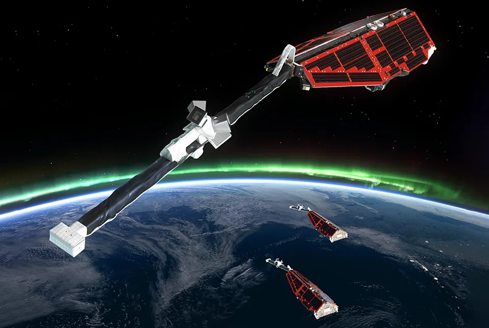

A new space weather variation hazard index, developed by BGS researchers using data from the European Space Agency’s (ESA’s) Swarm satellite constellation, provides a near-real time, global picture of geomagnetic variations to spot the local effects of space weather.
Space weather can pose significant hazards to satellites and Earth-based technologies. Infrastructure and technology, including global navigation satellite systems, telecommunications and power grids can be disrupted by strong geomagnetic activity.
ESA’s three Swarm satellites, which measure changes in Earth’s magnetic field from space, can capture geomagnetic anomalies related to space weather all over the world. Whilst they do not offer the continuous time coverage at a single location that a ground station can offer, the trio’s global coverage provides our best-ever survey of Earth’s magnetic field.
Until recently, the data processing pipeline meant that Swarm data was only made available after four days, preventing its use in space weather hazard monitoring. That all changed in 2024 with the introduction of a FAST data processing chain, which makes a lot of the mission’s data available in close to near-real time – as quickly as three hours after measurement.
The new space weather hazard variation index developed by Lauren and colleagues at the BGS draws on over ten years of Swarm data. Using the mission’s long-term record of Earth’s geomagnetic field as a baseline, it is possible to spot sudden variations that depart strongly from the normal or expected level of variation.

All space weather scientists want real-time, global geomagnetic field data. Swarm data isn’t quite real time yet, but it’s getting closer. We wanted to make sure the techniques were available to make use of the FAST data so that it would be available to space weather scientists in the future.
A big geomagnetic storm might be obvious, but if there was just a little blip over the Atlantic Ocean, and perhaps some aircraft was struggling to communicate, we could use this index to check if there was something more localised that could explain the drop in communications.
Lauren Orr, space weather scientist at BGS.
Space weather monitoring is precisely the sort of application we had in mind for Swarm FAST data, and it is wonderful to see it being used so effectively. It’s another great example of the applications and benefits the Earth Explorer satellites bring to Europe and the rest of the world.
Anja Strømme, Swarm Mission Manager.
To read the full update on the new hazard index, please visit the European Space Agency website.
Relative topics
Related news
‘Three norths’ set to leave England and not return for hundreds of years
12/12/2025
The historic alignment of true, magnetic, and grid north is set to leave England, three years after they combined in the country for the first time since records began.
UK braced for what could be the largest solar storm in over two decades
12/11/2025
Intense geomagnetic activity could disrupt technology such as communication systems, global positioning systems and satellite orbits.

Fieldwork on Volcán de Fuego
13/10/2025
Understanding how one of the world’s most active volcanoes builds up material, and how they collapse to feed hot flows

UK scientists in awe-rora as national coverage of magnetic field complete for the first time
23/09/2025
New sensors being installed across the UK are helping us understand the effects that extreme magnetic storms have on technology and national infrastructure.
New global space weather hazard index launched
17/01/2025
The new index provides a near-real time, global picture of geomagnetic variations helping to highlight the effects of space weather.
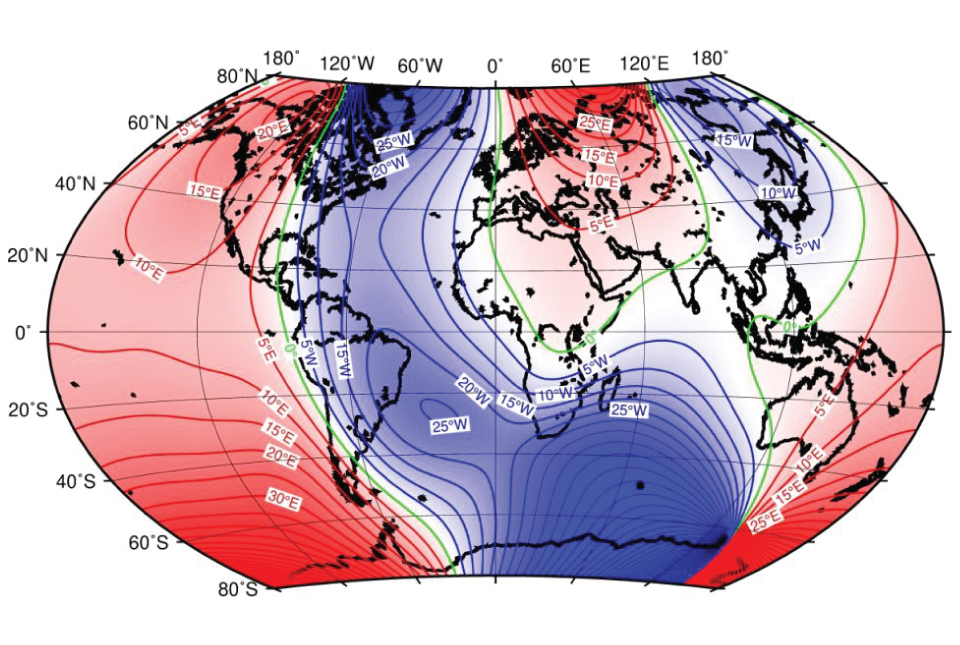
Update to essential scientific reference maps reveals new movement of the Earth’s magnetic field
01/01/2025
The international science community has released an update to the International Geomagnetic Reference Field, a model created for the public good and used by scientists around the world.
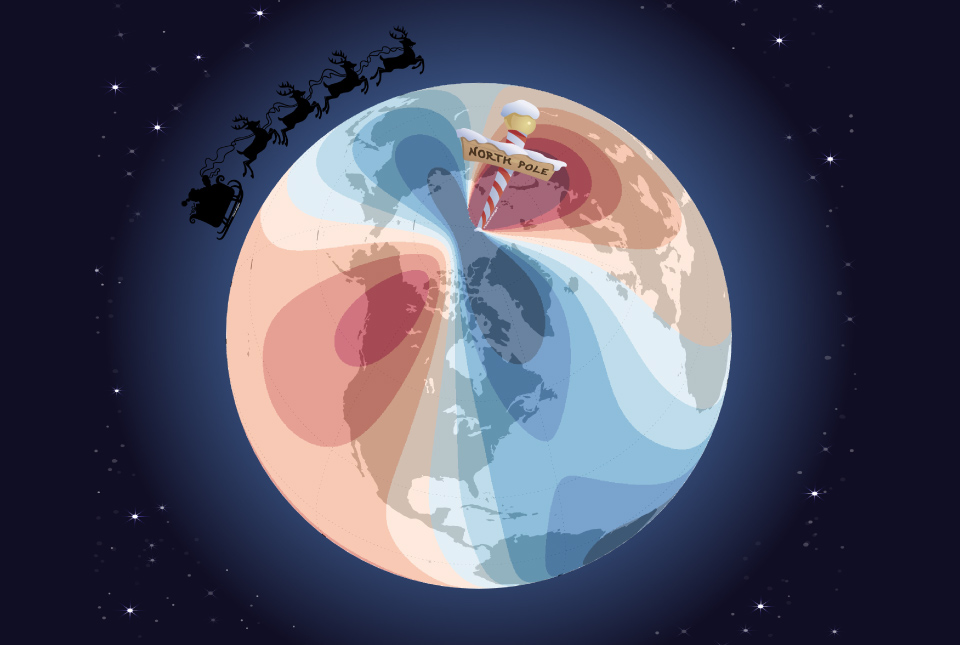
Airlines, shipping companies and sleigh drivers rush to update crucial navigation systems ahead of Christmas rush
17/12/2024
Release of major upgrade to a new model tracking magnetic north prompts global reset of satellite tracking systems across trade and passenger transport routes.
A-roaring display
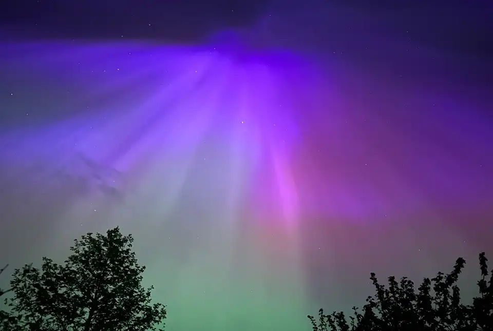
16/05/2024
The dazzling and colourful aurora borealis, or northern lights, observed by many across the UK last weekend was one of the most extreme and long-lasting geomagnetic storms recorded in the last 155 years.
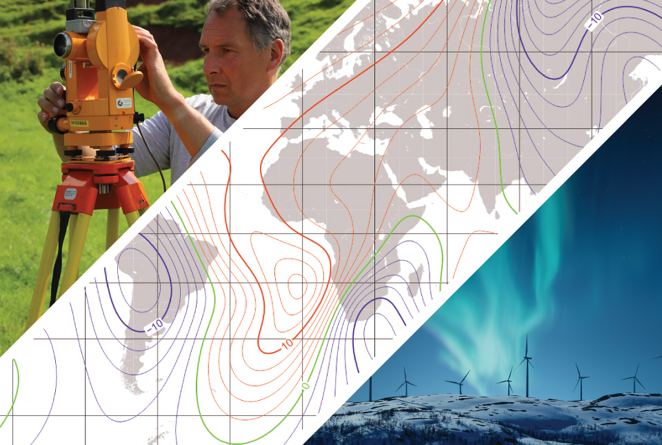
BGS leads update to maps of the Earth’s magnetic field
04/04/2024
The International Geomagnetic Reference Field, used for navigation on mobile phones and in space, is updated every five years.

Will 2024 be the Year of the Aurora?
23/02/2024
The Sun’s approximate eleven-year activity cycle is predicted to peak this year, prompting BGS scientists to anticipate that 2024 will be the ‘Year of the Aurora’.
From the Earth’s core to outer space: understanding the magnetic field
Event on 26/03/2024
A special webinar focusing on our our geomagnetism research, including how we measure the magnetic field, everyday applications and mitigating the threats of space weather.

Observing magnetic fields: 100 years of data
02/08/2022
Marking the centenary of the Lerwick Geophysical Observatory.