The scientific drivers for this work are to develop geophysical monitoring systems that can be used to study hydraulic processes inside unstable slopes, thereby providing an opportunity to identify processes that may be precursors to slope failure and give early warning of landslide events.
The project is supported by the Official Development Assistance (ODA) programme and is part of the deployment of the PRIME system, a novel geophysical monitoring system we developed through a series of NERC innovation grants. The system has been designed to be a low cost, low power (needing only a small solar panel for operation), remote monitoring system using the mobile phone network for telemetric control and is therefore ideally suited for deployment in developing countries with significant landslide hazards.
Research and objectives
Key research questions include:
- How do we optimise sensor array design to reduce costs whilst maintaining sufficient resolution of the subsurface?
- How do we determine geophysical thresholds for failure that can be used to predict when landslide events are likely to occur?
- How can we extract information from geophysical time series in a form that is intelligible to stakeholders and decision makers?
Munnar pilot site
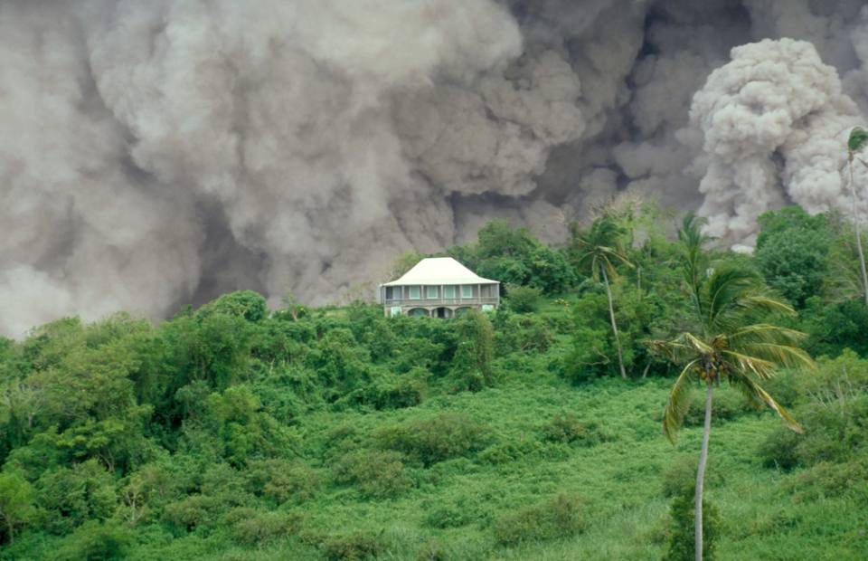
The test site is adjacent to the tourist town of Munnar, in the Western Ghats mountain range of south India, which is particularly prone to landslides. The site is more than 2000 m above sea level and receives between 3500 and 5500 mm of rainfall each year. The location was chosen by Amrita Vishwa Vidyapeetham Univerity because it has a history of rainfall-induced landslides and is considered vulnerable to further landslide events that have the potential to affect the town.
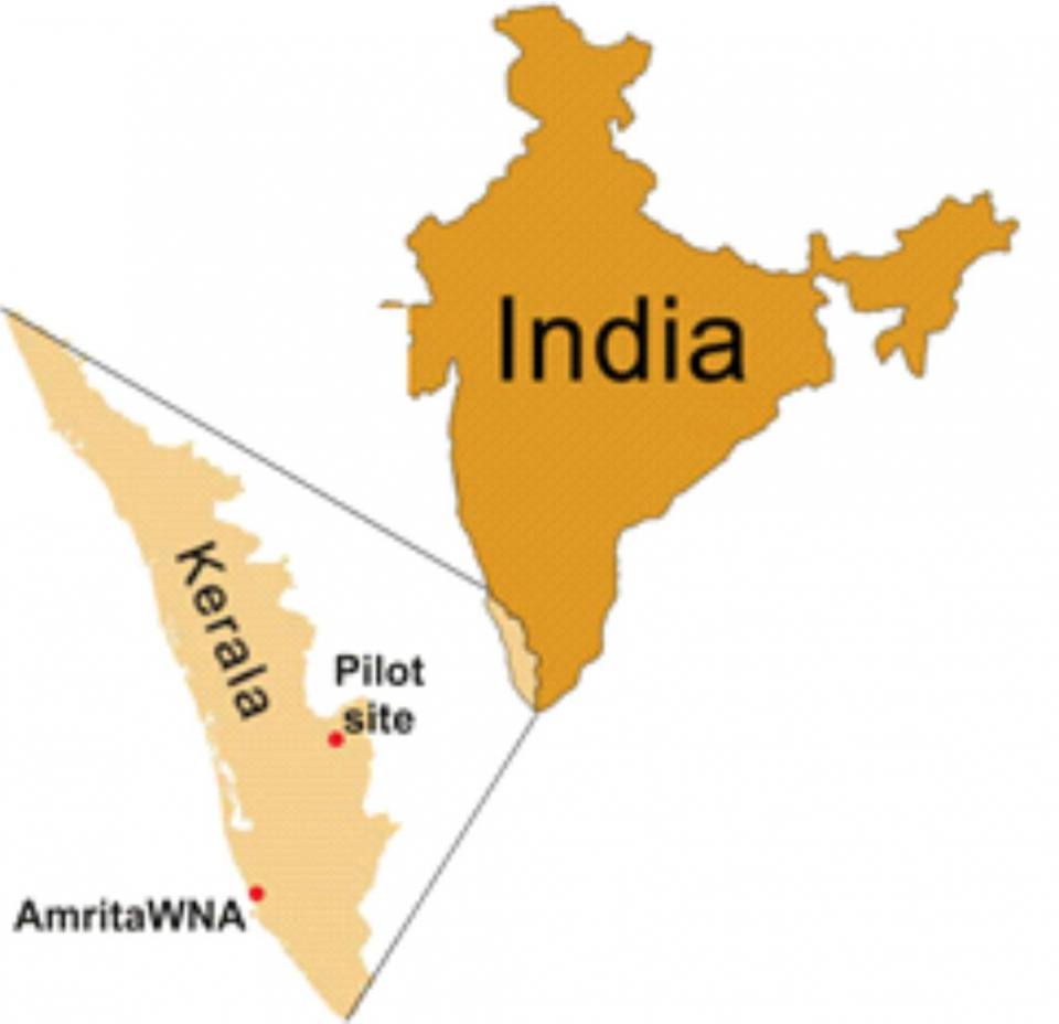

Location map of Amrita Center for Wireless Networks and Applications and the pilot project site at Munnar.
The pilot site itself experienced a complex, rotational-slide/debris-flow landslide in 2005. Since 2009, it has been instrumented with a wireless network, including pore pressure, soil moisture, strain and tilt sensors and a weather station that is used in combination with the recently installed geophysical monitoring system.
Geophysical monitoring system
In Munnar, the electrical resistivity tomography (ERT) monitoring system is currently composed of four parallel lines of 32 electrodes installed on the slope. Two of these lines have been collecting ERT data on a daily basis since November 2017. The two other lines were connected to the PRIME system early in 2019. Ongoing efforts in collaboration with our local partners are due to expand the monitoring array in the future, to improve 4D imaging of the slope.
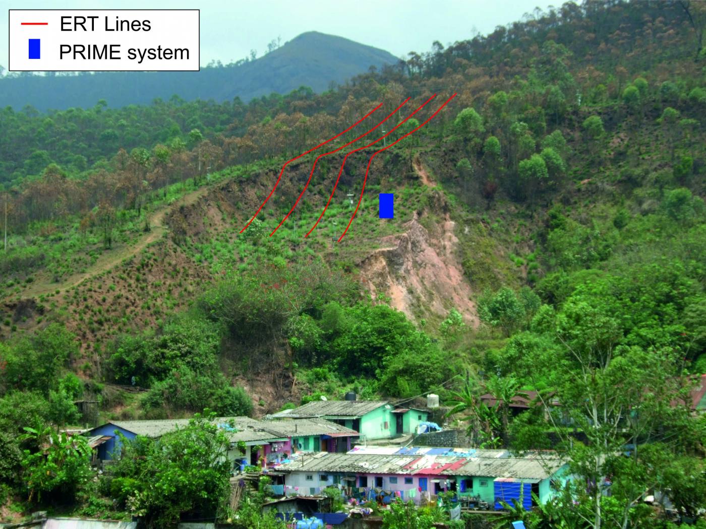
General overview of the PRIME system installation showing the electrical resitivity tomography (ERT) lines.
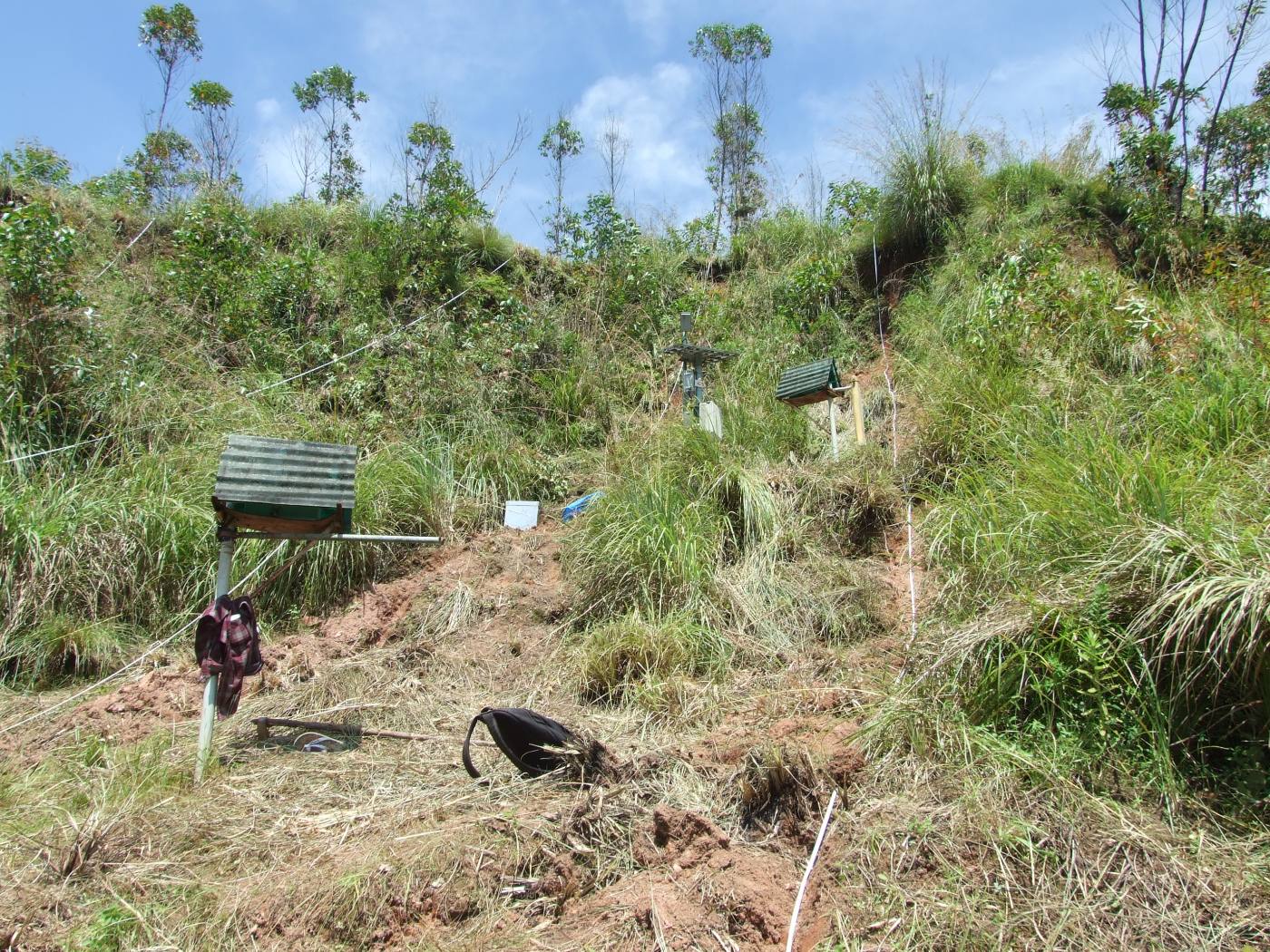
Installation of the PRIME system in the field.
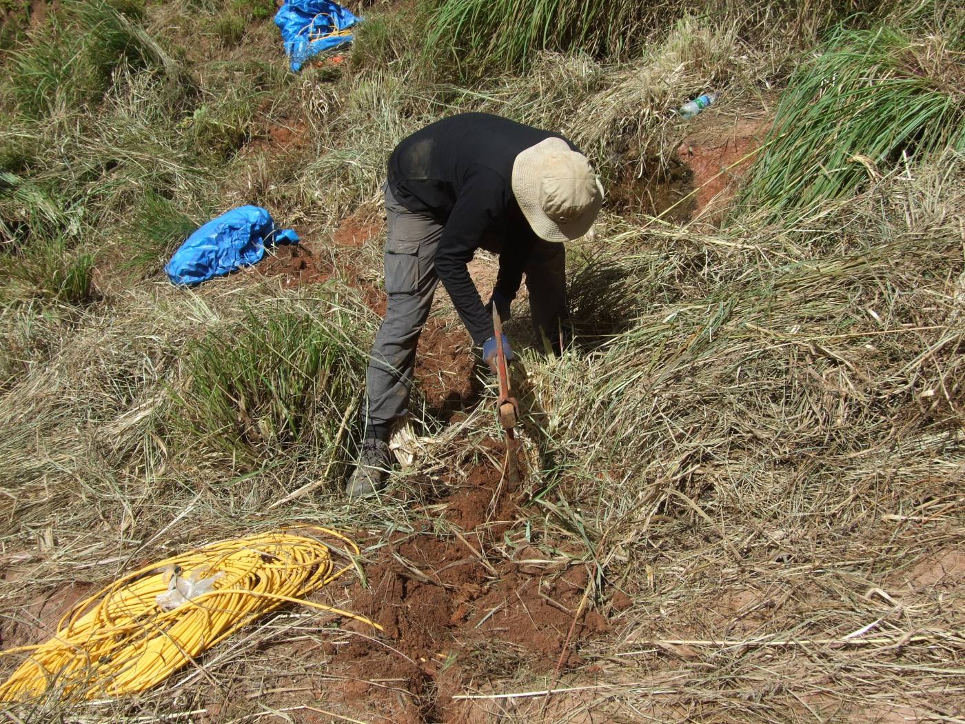
Installation of the PRIME system in the field.
Preliminary results indicate strong resistivity contrasts in the subsurface of the slope, which are likely to be linked with changes in the geology. Ongoing research is now focusing on gathering geological evidence and soil samples in order to better constrain the structure of the landslide and to investigate petrophysical relationships linking geophysical and geotechnical properties.
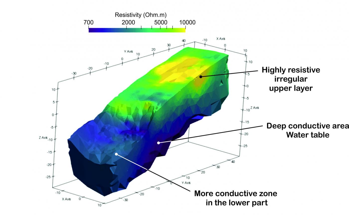
Preliminary 3D ERT model of the landslide generated from PRIME data.
Collaboration
This project is a collaboration between the BGS and the Amrita Center for Wireless Networks and Applications (AWNA) at Amrita Vishwa Vidyapeetham, Kerala, India. They specialise in developing wireless sensor networks for landslide monitoring and early warning, with the aim of increasing the resilience of local communities to landslide hazards.

AWNA has been awarded the World Centre of Excellence on Landslide Disaster Reduction from the International Programme on Landslides (IPL), in recognition of their cutting-edge research on detection and early warning of landslides.
Our shared objectives include working with AWNA to:
- exchange knowledge of landslide monitoring technologies to produce more effective early warning systems for improved disaster resilience
- create joint training sessions covering topics including wireless communications, data analytics and geophysical monitoring techniques
- develop and maintain state-of-the-art monitoring systems to support vulnerable communities subject to landslide hazard
- widely disseminate the advances in landslide monitoring technologies to the disaster resilience community through publications, workshops, meetings, websites etc.
As part of the collaboration, several training and knowledge exchange activities have been organised at the BGS and AWNA. This project is funded by the British Geological Survey NC-ODA grant NE/R000069/1: Geoscience for Sustainable Futures.
You may also be interested in
Global geological risk
Our research focuses on characterising complex, multi-hazard processes with the aim of improving resilience of communities to hazards.