Relative topics
31 results for "data products"
Mining hazard data (not including coal) from BGS
Great Britain has over 250 000 documented mining sites and the underground voids resulting from past mining activity pose a possible hazard. Knowledge of the distribution of former mining areas will help us to plan for future development and ongoing maintenance.

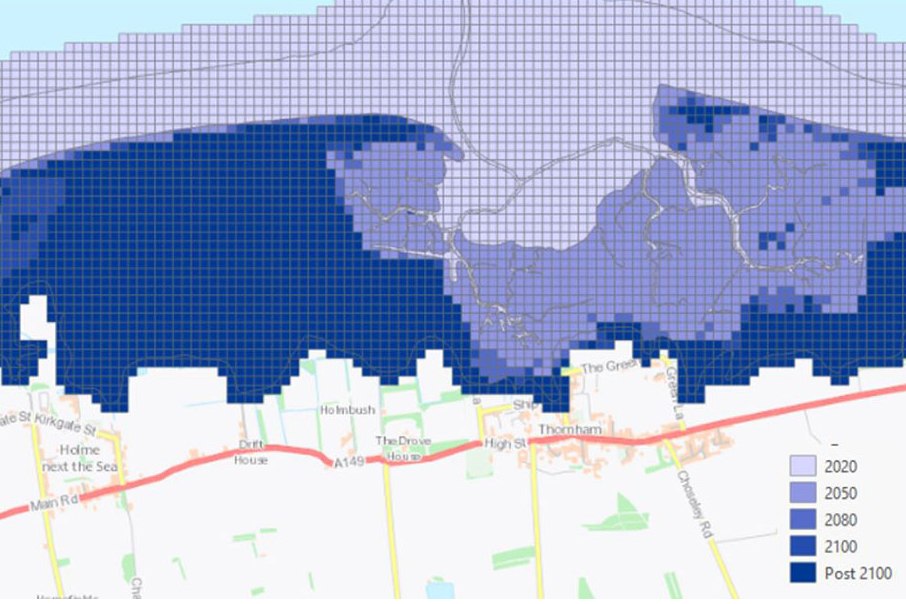
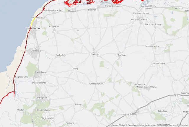
Introducing GeoCoast: new coastal datasets from BGS
GeoCoast is an integrated GIS package of datasets designed to inform and support coastal management and adaptation.
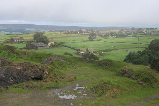
Six changing coastlines and how climate change could affect them
We explore how parts of the British coastline are changing and what important factors we should consider in terms of natural hazards, adaptation and resilience.

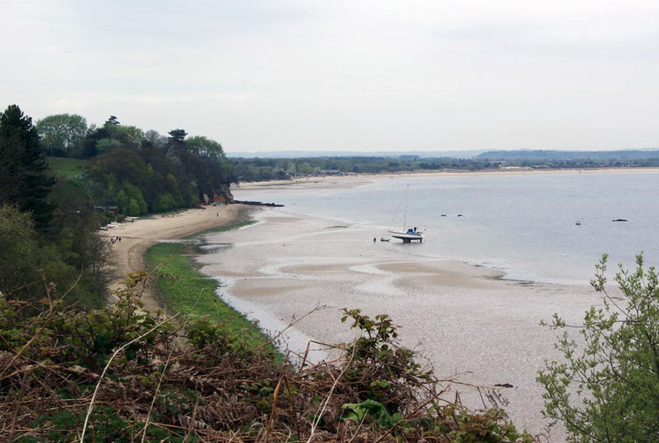
Sea level rise and coastal erosion: what’s the real impact?
How much of an issue are coastal vulnerabilities and what do we need to consider to increase our resilience to future events?

New BGS datasets for coastal management, planning and adaptation in the face of climate change
BGS GeoCoast is a package of geospatial datasets designed to provide information on the geological conditions and constraints around the coastline of Britain.

GeoCoast dataset launch event
BGS invites you to discover more about our new data product to underpin coastal decision making, resilience and adaptation.
GeoCoast Premium
GeoCoast is an integrated GIS package of datasets designed to inform and support coastal management and adaptation.
GeoCoast Open
GeoCoast Open provides a range of historic images and diagrams extracted from our archives, memoirs and other publications, which can provide a reference for coastal change.