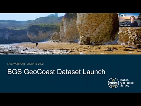
GeoCoast dataset launch event
BGS invites you to discover more about our new data product to underpin coastal decision making, resilience and adaptation.
Event on 28/04/2022

BGS GeoCoast provides an integrated GIS package of datasets designed to inform and support coastal management and adaptation. It provides information on the morphology, behaviour and vulnerability of the coastline, underpinned by its geology and its coastal context (shape; profile; height, etc.), and particularly coastal erosion, inundation and potential subsidence.
In the webinar, you will gain insights into the content of the data and why it is important to understand the natural geological conditions, and learn more about our development of coastal erosion data and its potential uses.
This recorded 30 minute webinar covers:
- examples of use and applicability
- GeoCoast development and research
- GeoCoast features and content
- Open and Premium products
- Q&A session with the experts

A recording of the launch webinar is now available to watch online.
About the BGS GeoCoast data product
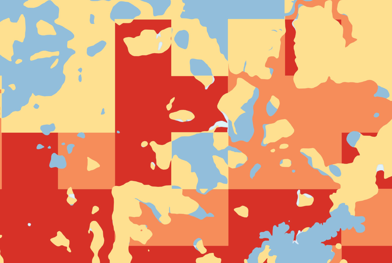
BGS GeoCoast offers anyone with assets or an interest in the coastline around Great Britain access to easy-to-use datasets linked to geohazard data. This allows users to interpret potential interdependencies in terms of erosion and future flooding with respect to climate forecasts, habitat and other vulnerabilities. As GeoCoast represents the natural geological coastline as if no coastal defences or made ground are present, the datasets are of particular value in areas where coastal defences are no longer maintained or have never been apparent.
BGS has produced maps showing areas with varying vulnerability to coastal erosion, inundation and groundwater flooding, and potential subsidence. In addition, we have collated data to provide a suite of coastal statistics relative to shoreline management plans and local authoritative regions, a historic images catalogue and a nationwide classification of coastal domains.
These coastal hazards may lead to financial loss for anyone involved in the ownership or management of property or infrastructure, local government and property insurers. In this webinar, we’re bringing together the research scientists and product development experts to provide an introductory overview to the datasets and the science that underpins it.
Relative topics
Upcoming events

Geo-Explorers – after-school kids’ clubs
Event from 07/09/2026 to 07/12/2026
An after school club for junior geology enthusiasts

Extractive Industry Geology (EIG) Conference 2026
Event from 08/09/2026 to 11/09/2026
University of Liverpool

BGS GeoClimate – dataset launch webinar
Event on 02/06/2026
The virtual launch of our new BGS GeoClimate dataset – helping mitigate the economic risk from shrink-swell subsidence. Event recording now available

UK Critical Minerals Intelligence Centre 2026 showcase
Event on 31/03/2026
A special live webinar with the team from the Critical Minerals Intelligence Centre showcasing the latest research from 2026 on copper, the future of digital, and what’s next for the criticality assessment. A recording of the event is now available.


After-school kids’ clubs
Event from 25/02/2026 to 25/03/2026
An after school club for junior geology enthusiasts
NERC Tech Forum 2025
Event from 03/06/2025 to 05/06/2025
The primary aim of the meeting is networking within technology areas in NERC and related research centres.
Webinar: underground thermal energy storage (UTES): uncertainties and benefits
Event on 15/01/2025
Join us for a special webinar that will introduce underground thermal aquifer storage and offer all interested parties the opportunity to participate in a workshop to be held in spring 2025.
Criticality Assessment 2024 launch webinar
Event on 28/11/2024
A special live webinar with the team from the Critical Minerals Intelligence Centre to accompany the launch the latest UK Criticality Assessment. A recording is now available to watch online
BGS Open Day 2024
Event on 08/06/2024
Join us on 8 June 2024 to explore volcanoes and earthquakes, soils and aquifers, the sea, the sky and everything in between!
2024 Mine Water Energy Symposium
Event from 24/04/2024 to 26/04/2024
Now in its fourth year, the 2024 Mine Water Energy Symposium will be held in person for the first time in April 2024, with online streaming functionality.