
GeoScour Open. BGS © UKRI.
BGS GeoScour Open
-
Tier 1: 1:625 000
Tier 2: 1:250 000 - Great Britain
- Open
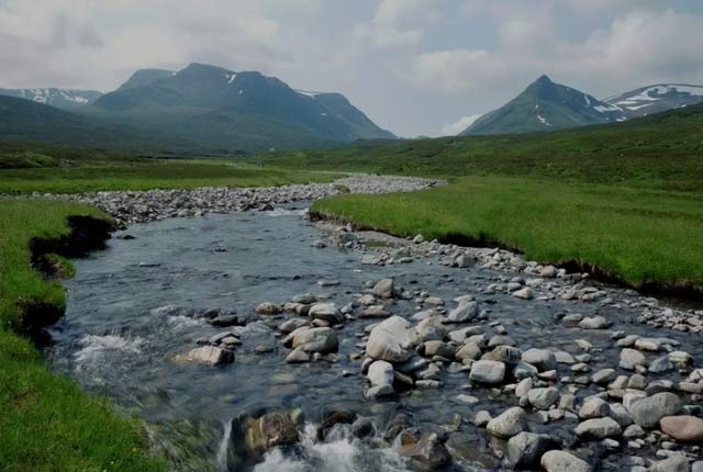
The BGS GeoScour Open datasets provide a generalised overview of the natural characteristics and properties of catchment and riverine environments for the assessment of river scour in Great Britain.
Key information
- Scale:
- Tier 1: 1:625 000
Tier 2: 1:250 000 - Coverage:
- Great Britain
- Availability:
- Open
- Price:
Free for commercial, research and public use under the Open Government Licence. Please acknowledge the material.
- Format:
- GIS polygon data. (ESRI, other available by request)
- Uses:
- Regional-catchment level use
- Themes:
- Hazards
The BGS GeoScour Open datasets provide a generalised overview of the natural characteristics and properties of catchment and riverine environments for the assessment of river scour in Great Britain.
This dataset
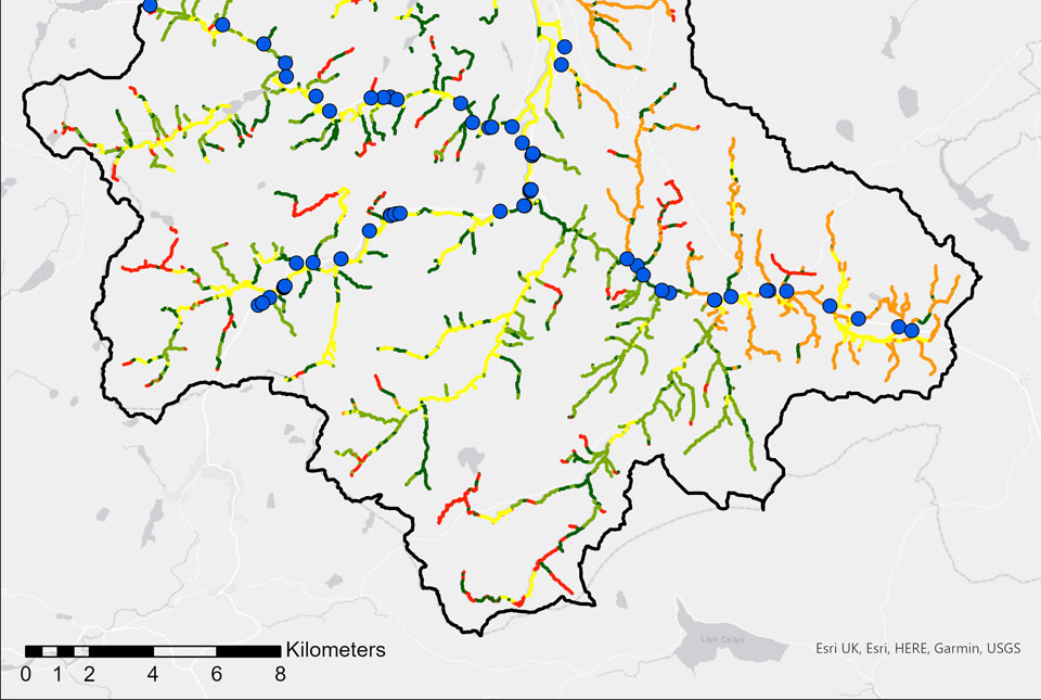
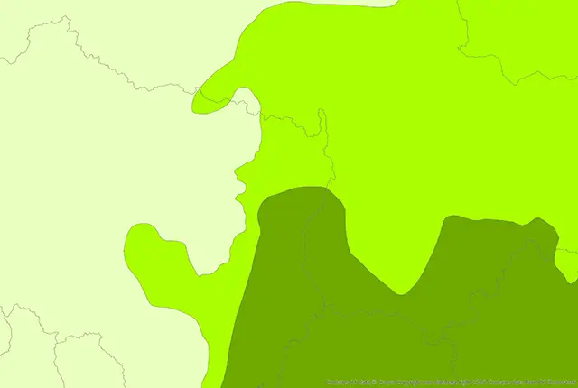
The GeoScour Open dataset comprises two different tiers of geographical information system data containing seven different data layers. Each tier represents a different scale of assessment, from a high-level catchment to subcatchment data. The datasets are polygon (area) layers, which are described using straightforward classifications and enabling an indicative catchment susceptibility assessment.
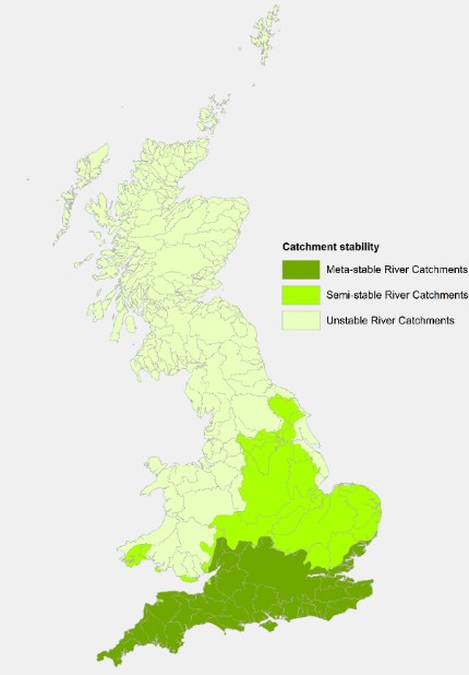
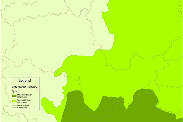
GeoScour tier 1. BGS © UKRI – Contains OS data © Crown copyright 2020.
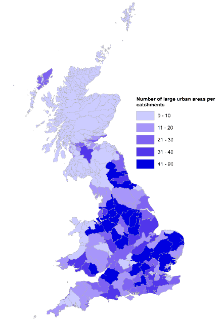
GeoScour tier 2. BGS © UKRI – Contains OS data © Crown copyright 2020.
Tier 1 — catchment level data
Tier 1 consists of one dataset: catchment stability (1:625 000 scale), which identifies and describes the relative catchment-scale characteristics in terms of landscape evolution, sediment availability and typical response in flood conditions.
Tier 2 — subcatchment level
Tier 2 consists of a suite of six subcatchment datasets (1:250 000 scale) including:
- catchment geological runoff potential
- catchment morphology
- catchment designated sites
- catchment flood accommodation
- catchment urban coverage
- catchment geological susceptibility layers including: (new in V2)
- Catchment Average Surface Susceptibility
- Catchment Best Surface Susceptibility
- Catchment Worst Surface Susceptibility

The BGS GeoScour Open datasets provide a generalised overview of the natural characteristics and properties of catchment and riverine environments for the assessment of river scour in Great Britain.
The catchment geological runoff potential and morphology layers provide the dominant geological runoff potential and morphology per catchment, respectively. The catchment designated sites, flood accommodation and urban coverage layers provide the percentage coverage of all protected sites (AWI, NNR, Ramsar, SAC, SPA and SSSI), flood accommodation space and small and large urban areas per catchment, respectively. The catchment geological susceptibility datasets provide average worst and best case scenarios and calculates the total length of river within each catchment for each scour susceptibility class.
Related content
BGS GeoScour: bridging the river erosion data gap
31/08/2022
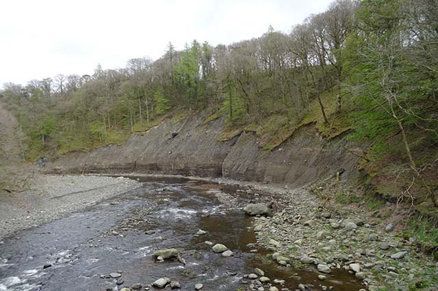
The geological properties of bedrock and superficial deposits that make up riverbeds and banks are fundamental controls on the susceptibility of any given river reach to scouring.
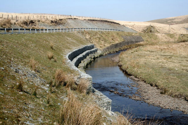
River erosion: the forgotten hazard of flooding
03/08/2022
Impacts from flood events can be widespread, long-lasting and extremely costly. The UK Government and environmental protection agencies continue to invest heavily in mitigation measures, as well as trying to predict which areas are most at risk.
GeoScour dataset launch event
Event on 08/09/2022
Access a recording of our 30-minute webinar for an overview of river scour and its associated river erosion hazards, including surface geology susceptibility and bedrock geology susceptibility.
BGS GeoScour Open
The BGS GeoScour Open datasets provide a generalised overview of the natural characteristics and properties of catchment and riverine environments for the assessment of river scour in Great Britain.
BGS GeoScour Premium
The BGS GeoScour datasets provide a generalised overview of the natural characteristics and properties of catchment and riverine environments for the assessment of river scour in Great Britain.
You may also be interested in
BGS GeoScour Premium
The BGS GeoScour datasets provide a generalised overview of the natural characteristics and properties of catchment and riverine environments for the assessment of river scour in Great Britain.


Geological indicators of flooding
BGS has produced the geological indicators of flooding dataset from geological maps detailing the floodplains and coastal plains in Britain.