Relative topics
14 results for "flooding"
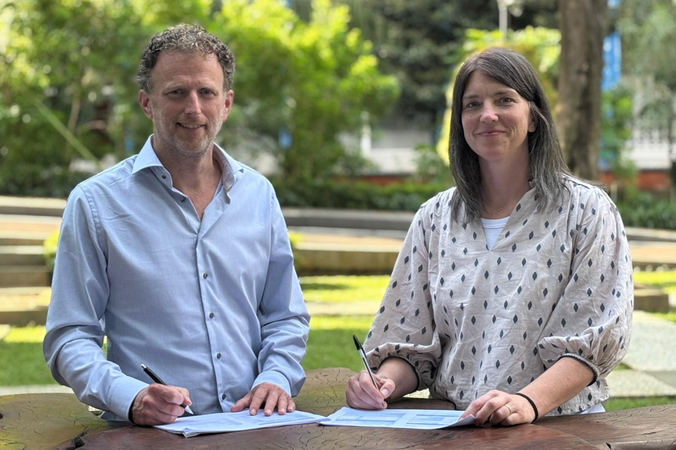
New collaboration aims to improve availability of real-time hazard impact data
BGS has signed a memorandum of understanding with FloodTags to collaborate on the use of large language models to improve real-time monitoring of geological hazards and their impacts.
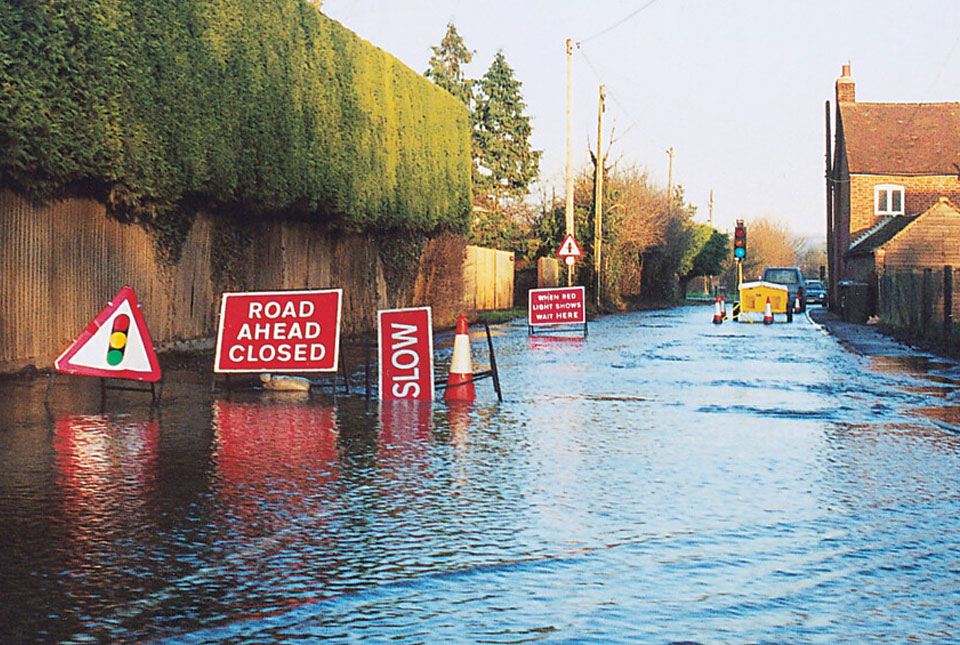
BGS Groundwater Flooding Susceptibility: helping mitigate one of the UK’s most costly hazards
Groundwater flooding accounts for an estimated £530 million in damages per year; geoscientific data can help to minimise its impact.
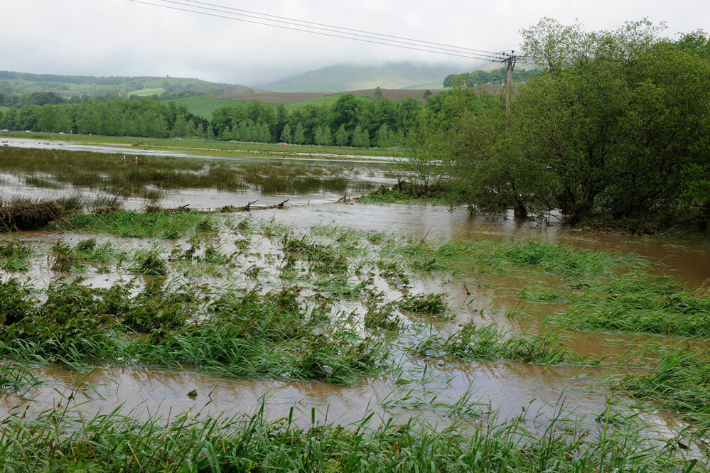
New £38 million project to reduce the impact of floods and droughts
BGS will take a leading role in efforts to better predict the location and effects of extreme weather events.
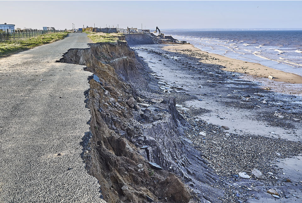
Spotlight on BGS coastal erosion data
BGS GeoCoast data can support researchers and practitioners facing coastal erosion adaptation challenges along our coastline.

Burrow-detecting devices could protect flood defences
BGS scientists have trialled a new way of detecting animal burrows in clay flood embankments.
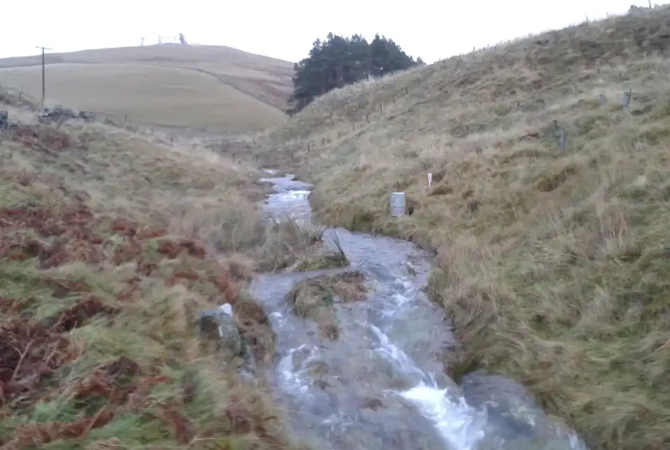
Natural flood management: is geology more important than trees?
Looking at innovative ways of creating resilience to flooding hazards with natural flood management.
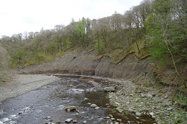
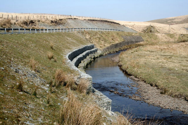
River erosion: the forgotten hazard of flooding
Impacts from flood events can be widespread, long-lasting and extremely costly. The UK Government and environmental protection agencies continue to invest heavily in mitigation measures, as well as trying to predict which areas are most at risk.
GeoScour dataset launch event
Access a recording of our 30-minute webinar for an overview of river scour and its associated river erosion hazards, including surface geology susceptibility and bedrock geology susceptibility.